June 2nd:Limon Supercell
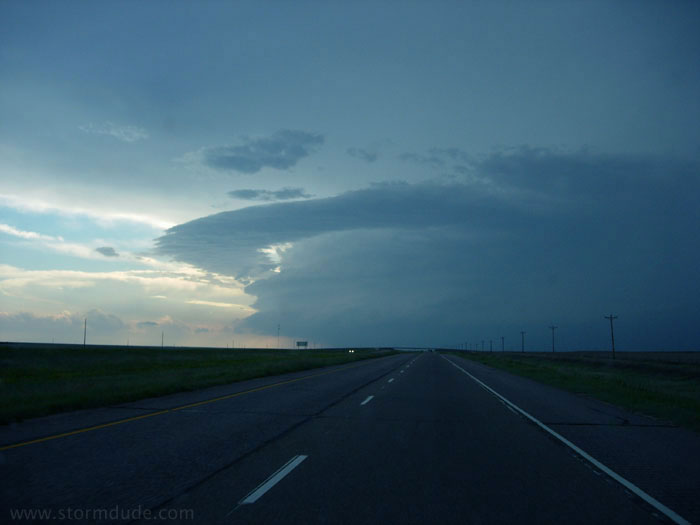
After the cap holds on the dryline in far western Kansas, I head west to intercept storms near Denver. Approaching the storm over Limon, I suddenly gain a new respect for Colorado storms.
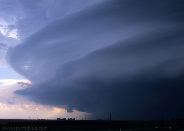
Clear signs that the storm is spinning in slow-motion like a giant top.
I intercept the storm in Arriba.
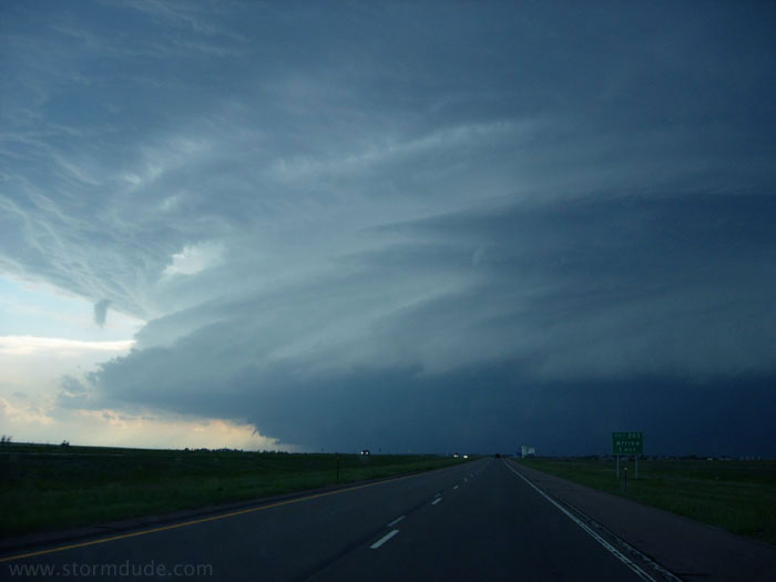
Looking to my right.
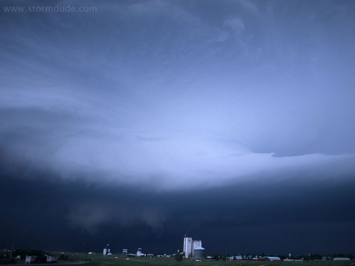
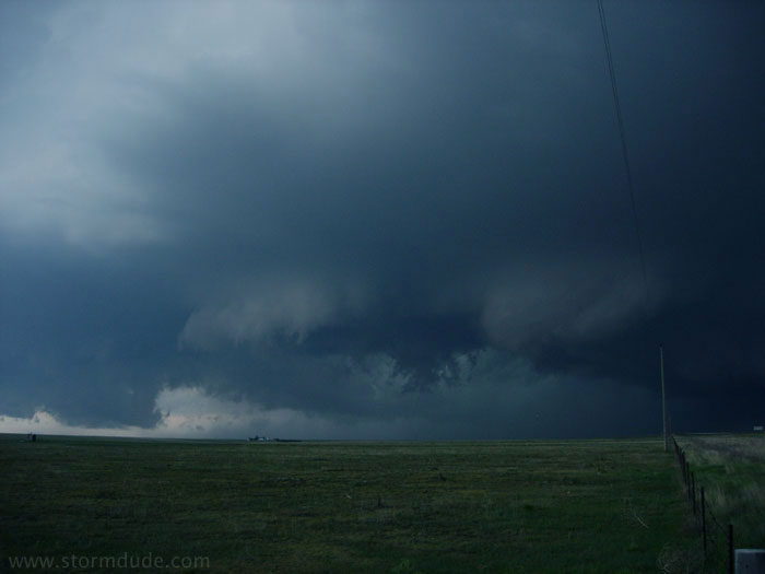
A ragged lowering approaches.
Outflow appears to be taking over.
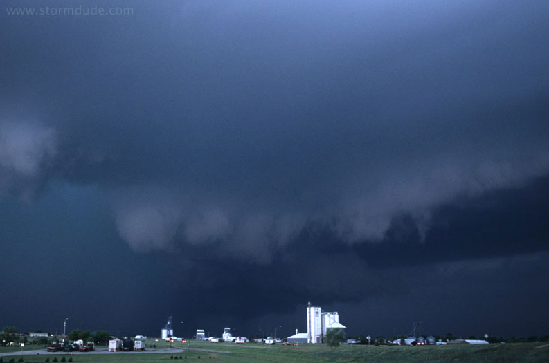
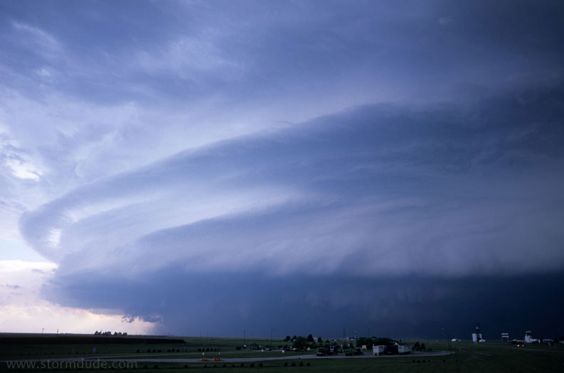
A few minutes later.
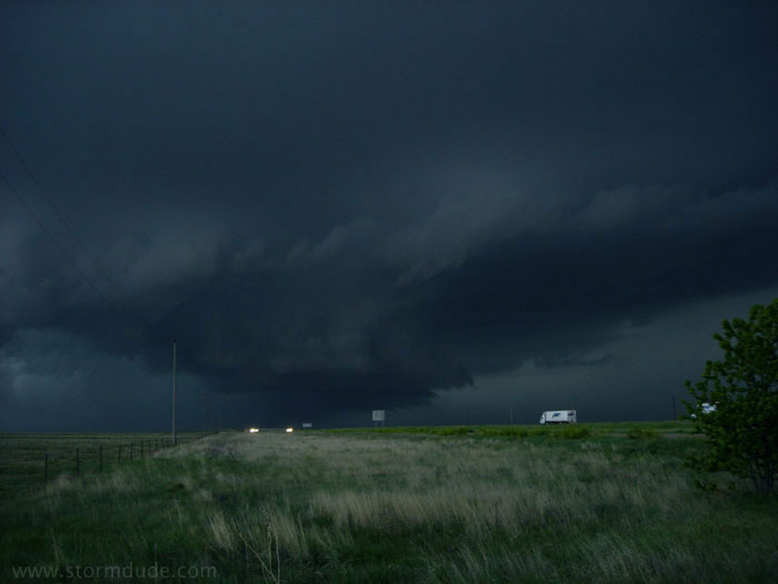
Dramatic lowerings, but cool outflow is undercutting the inflow.
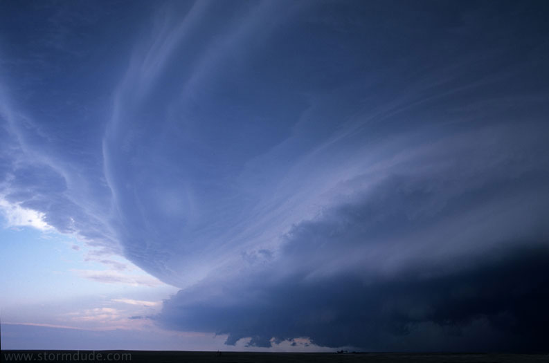
I take this photo from just west of Flagler.
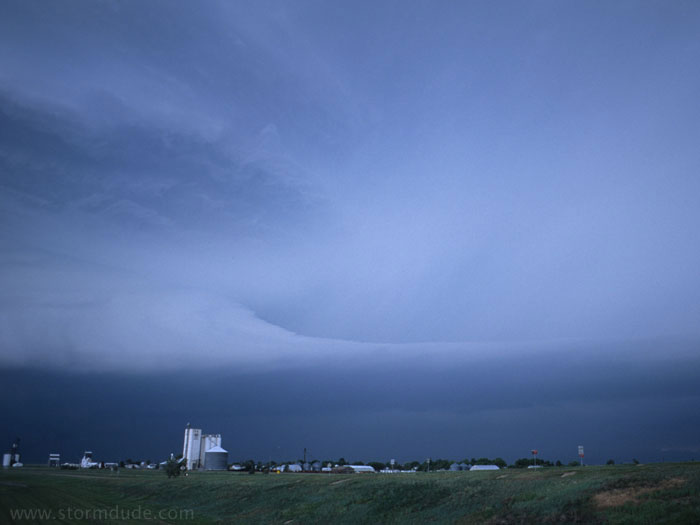
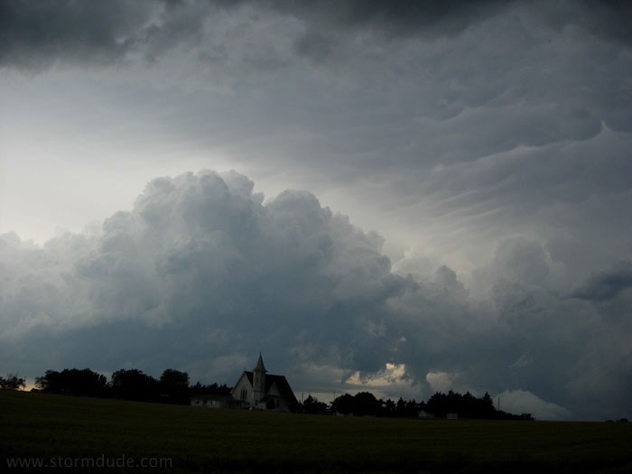
An ominous-looking storm.
June 4th: Northeast Kansas Storms
After a long drive and an inconvenient road closure, I find myself behind a squall line in northeast Kansas. This is on a day with moderate potential for tornadoes, and there is no way for me to reach the action.
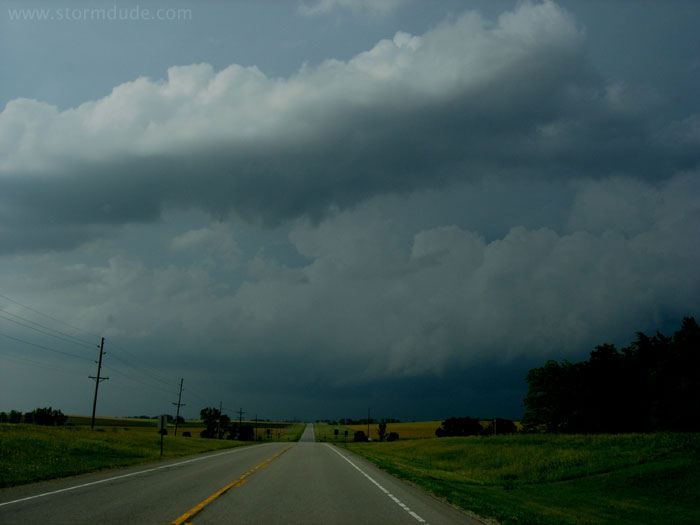
But always one to make the most of photo opportunities when around thunderstorms, I find a few clouds and interesting rural scenes.
Once again, being on the wrong side of a storm results in one of the better photos of the season.
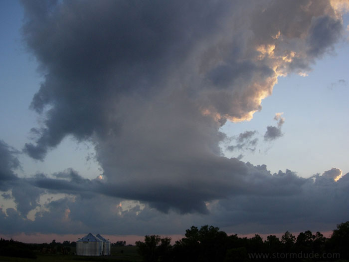
A small tower develops south of Lincoln, Nebraska, with strong shear evident.
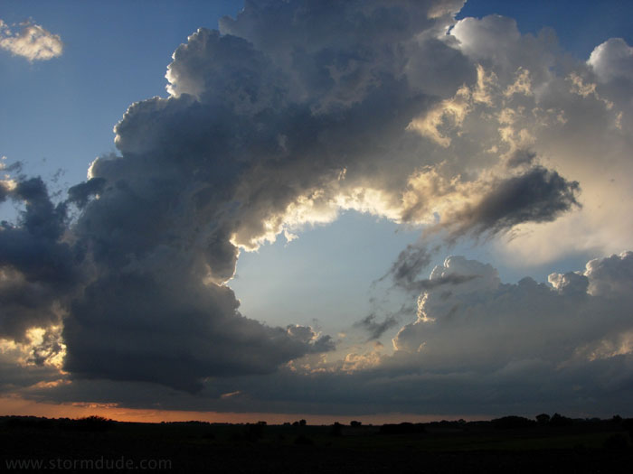
This little convective cell actually shows signs of rotation. An amazing thing to watch.
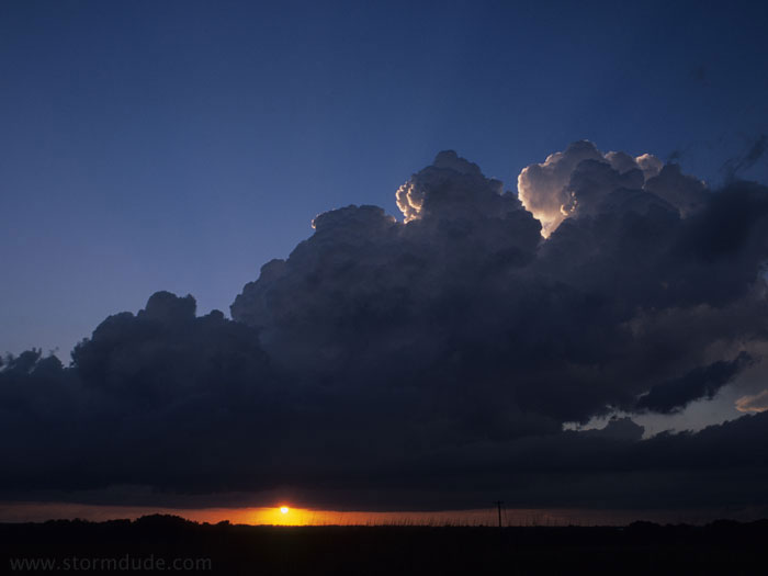
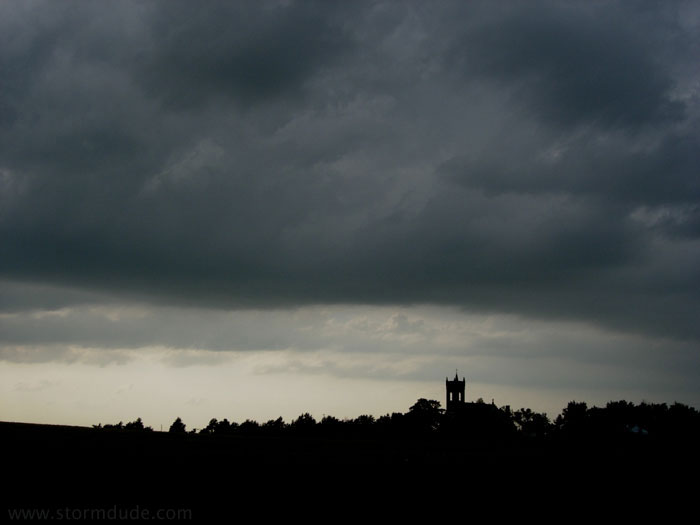
Developing storm at sunset.