May 13th: North Texas Supercell
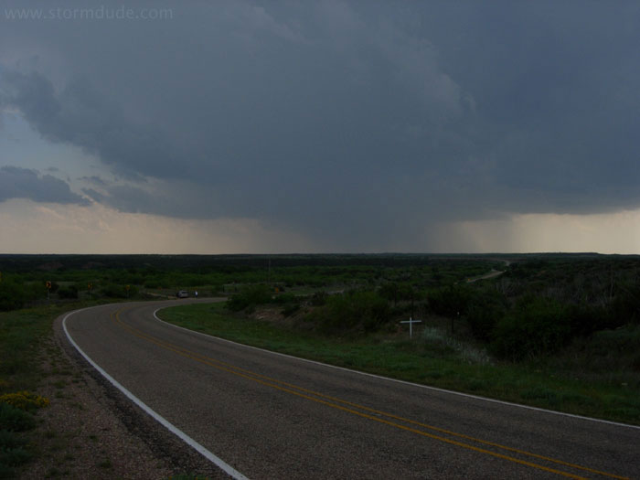
Early stage of storm northeast of Paducah, in central Texas.
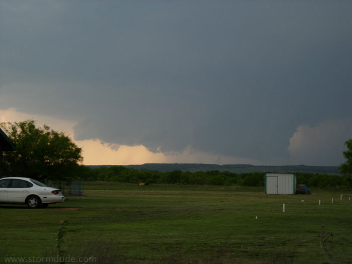
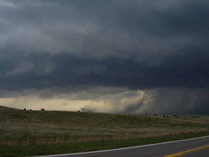
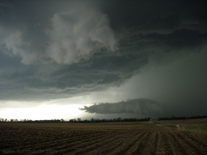
Large wall cloud near Crowell, Texas, but no rotation.
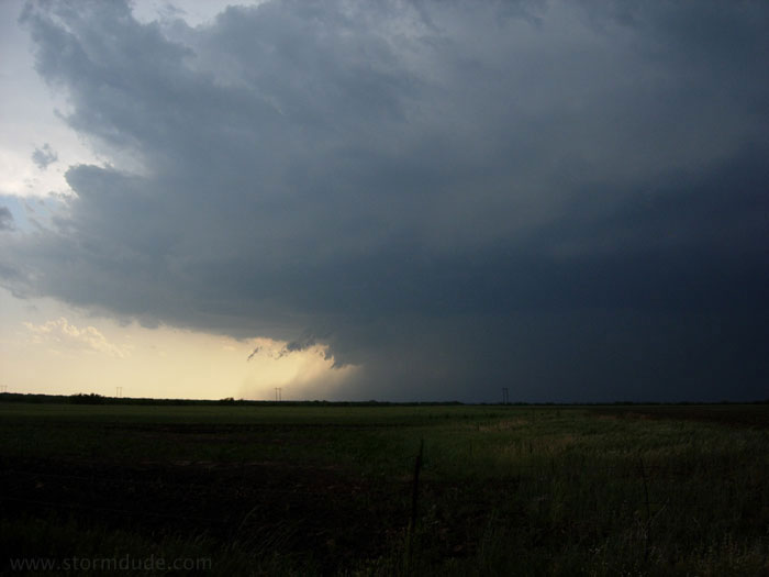
Outflow begins to take over.
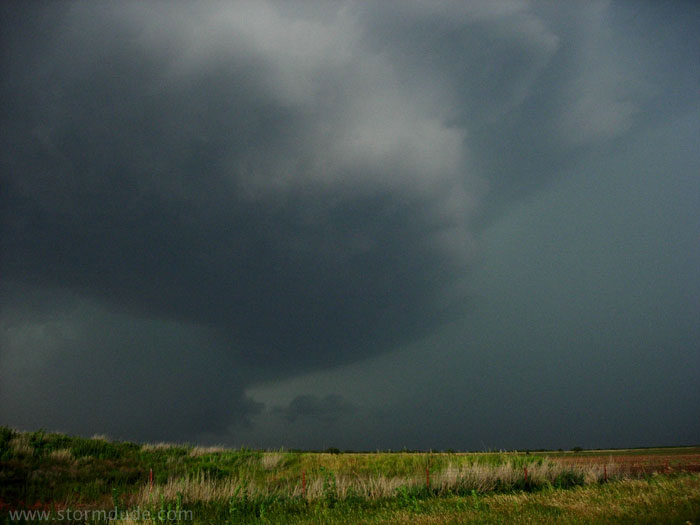
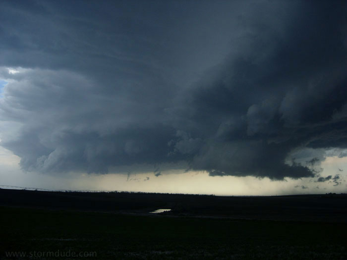
Storm shows signs of rotation, with cloud-to-ground lightning bolts (CGs) becoming very active near my location. It is my first close-up experience with a highly electrified storm. Second only to driving, CGs are a big danger in storm chasing.
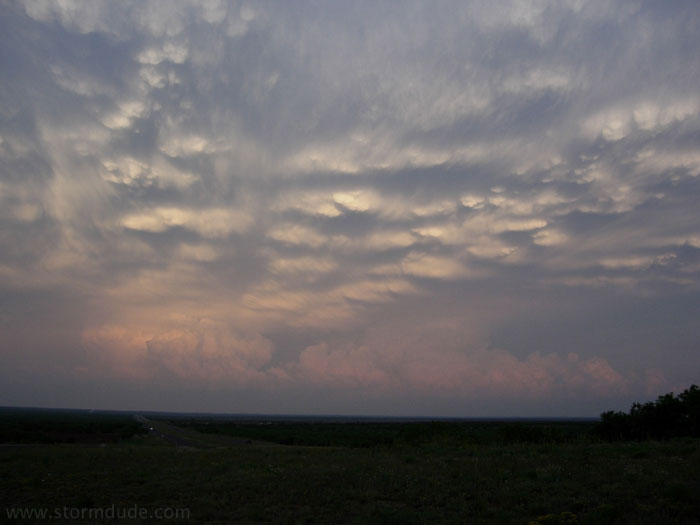
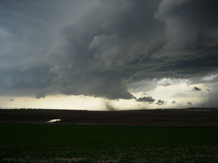
Sunset looking back at the storm as I drive west to Lubbock.
May 17th: Nebraska Squall Line
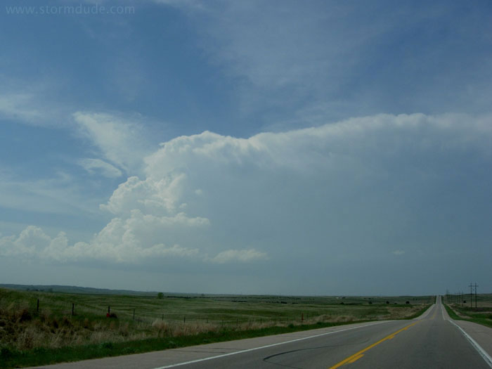
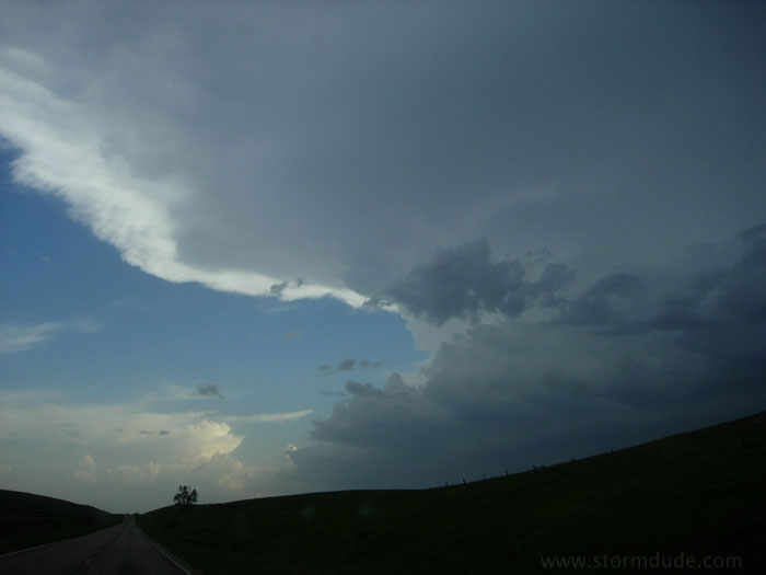
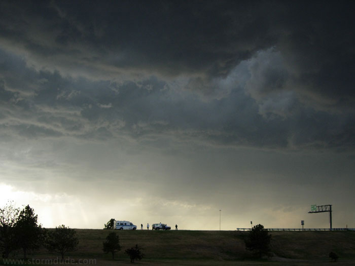
Strong convection southwest of North Platte, Nebraska.
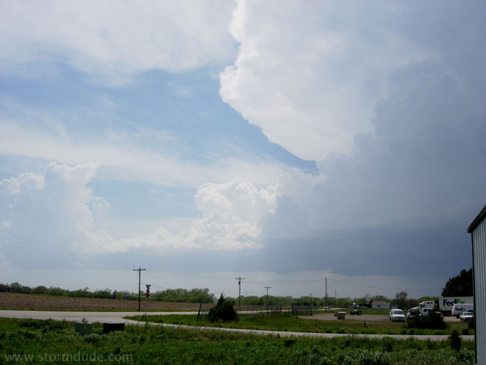
I intercept the storm as it approaches North Platte. Not sure of storm direction, I stay on the southern edge of North Platte where I have a somewhat obstructed view of an apparent supercell.
After a few minutes, I determine the storm is moving NNE, so I drive through the city and get in position at a highway intersection a few miles north of town. But by this time the storm has become outflow-dominated.
Small roll cloud develops at the edge of the gust front.
As the gust front advances, tiny vortices and gustnadoes develop (storm spotters are trained to distinguish these relatively harmless whirlwinds from dangerous tornadoes).
Gustnado.
Ragged shelf cloud under the anvil.
Dramatic skies under a marginally severe storm.