May 23rd: Colorado Thunderstorm
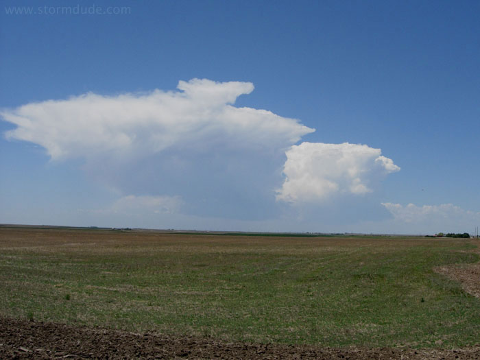
Two small cells develop east of Colorado Springs on a low-potential chase day.
Although it looks good on radar, the storm never gets organized.
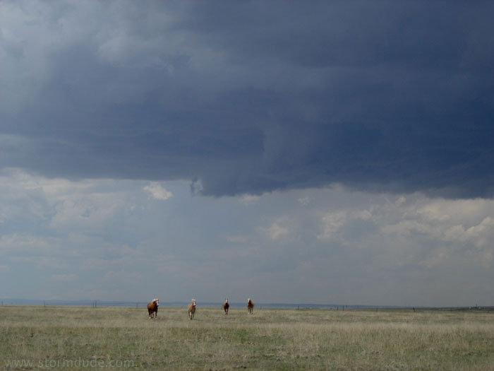
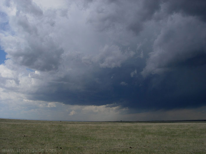
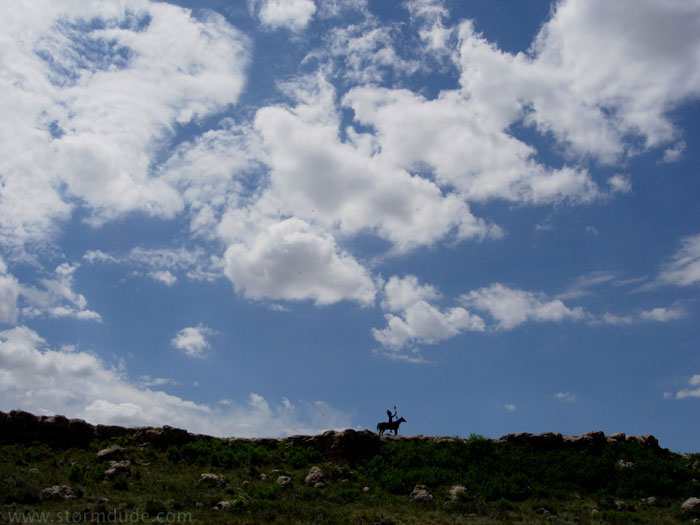
However, four approaching Palominos will make this a unique storm photo opportunity.
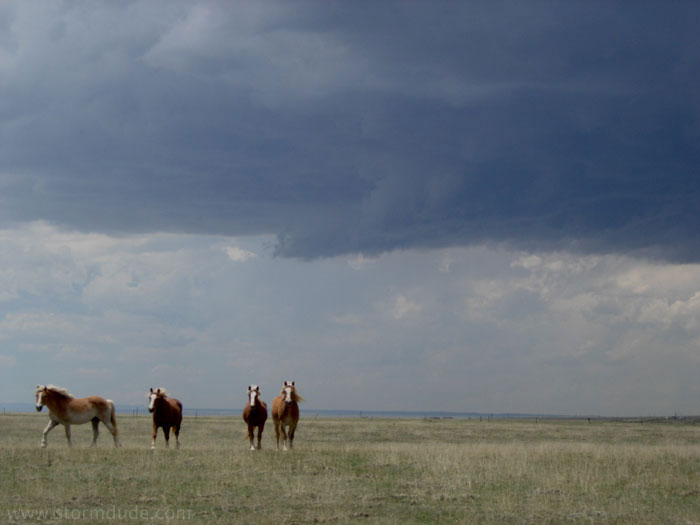
As I stand by a barb-wire fence on an isolated dirt road, they trot straight towards me.
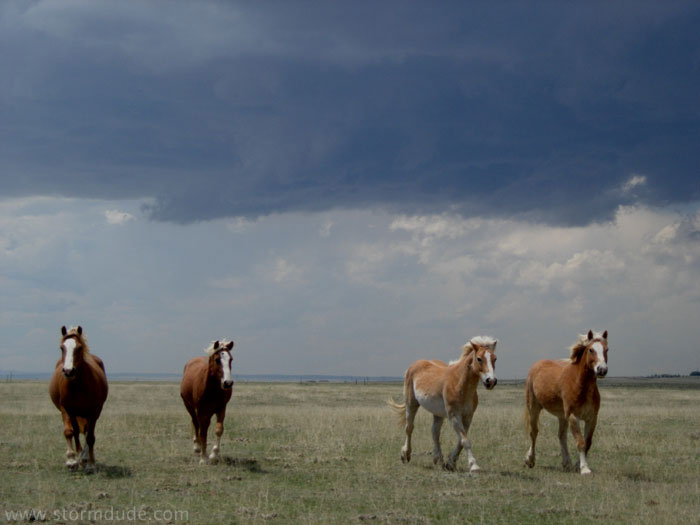
Closer and closer....
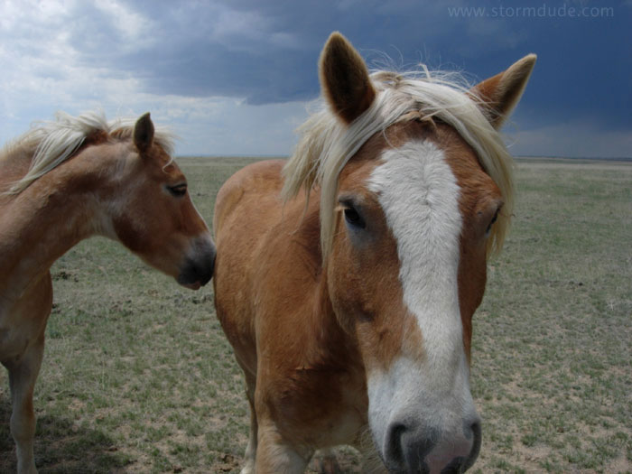
...and closer.
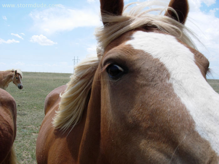
Okay! Close enough! Now go pose for me.
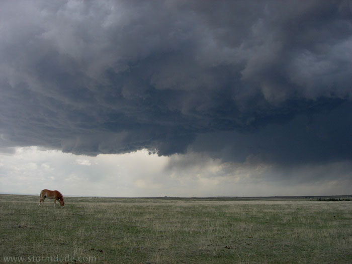
Thunderstorm on the high plains of Colorado.
May 24th: Northeast Colorado Storm
Rest stop north of Goodland, as I head towards northeast Colorado to intercept a likely MCS (Mesoscale Convective System, i.e. a large area of non-tornadic thunderstorms) under northwest flow aloft.
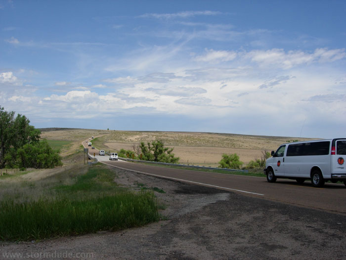
As I get ready to turn left, a caravan of chase tour vans and doppler-on-wheels tornado researchers goes by.
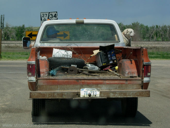
This fellow in the nearby town is probably wondering what all the fuss is about.
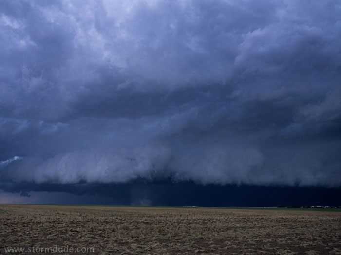
Turbulence on the southern edge of a storm approaching Akron, Colorado.
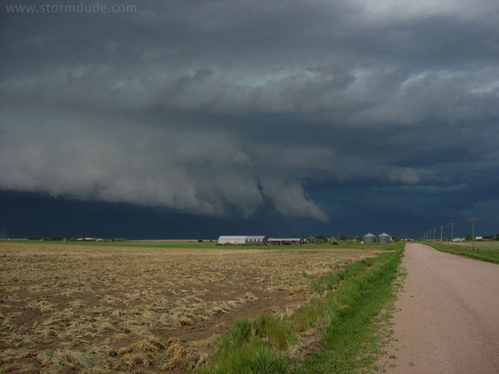
Shelf cloud approaching town.
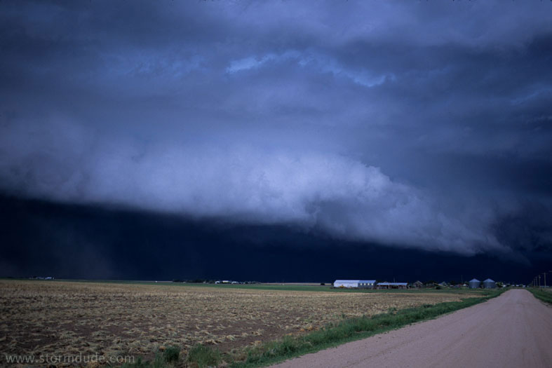
A minute or two later (also a good comparison of the difference between film camera in this photo and digital camera in prior photo).
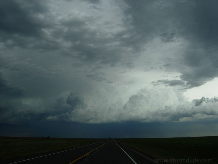
I head south and then east, but find myself behind the next storm to develop in the MCS.
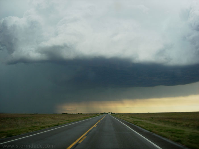
As I drive east, I find myself in postion to overtake this slow-moving, slowly developing storm. However, within a couple of minutes a downpour covers the road. After a brief wall cloud, a line of storms develops and ends the chase.