April 5th: Oklahoma Storm
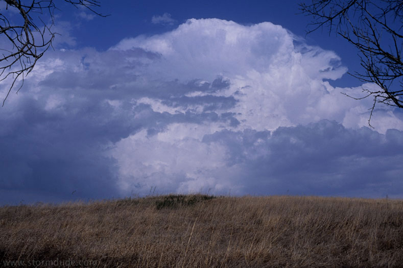
In northeastern Oklahoma I see my first strong storm of the season.
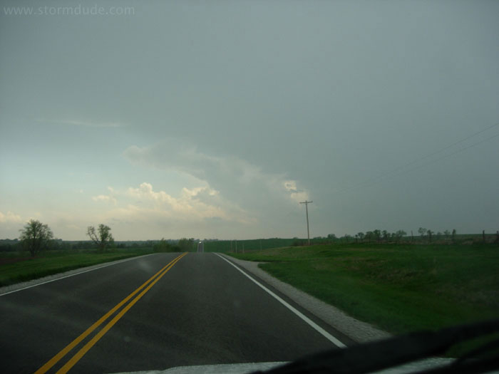
April 10th: Kansas Squall Line
Towers going up near Pratt, Kansas, around 4 pm. Winds are southeast at 15 to 20 mph on a mild spring day.
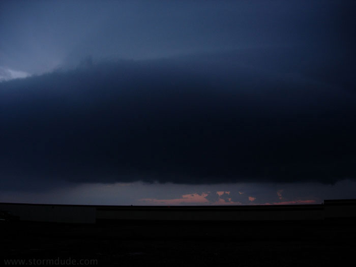
Squall line develops north of Pratt.
Backside of shelf cloud at sunset.
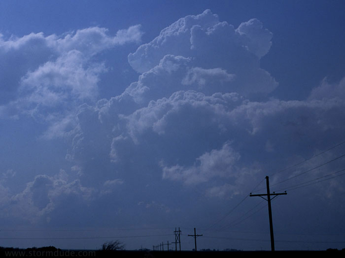
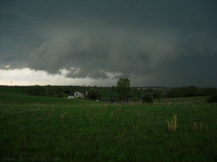
April 20th: Kansas Supercell
After a busted chase in northeast Colorado, I see my first supercell of the season as the sun is setting. This storm near Great Bend, Kansas, is dropping baseball size hail.
Some of my favorite photos occur when my forecast turns out to be inaccurate and I end up on the wrong side of a storm.
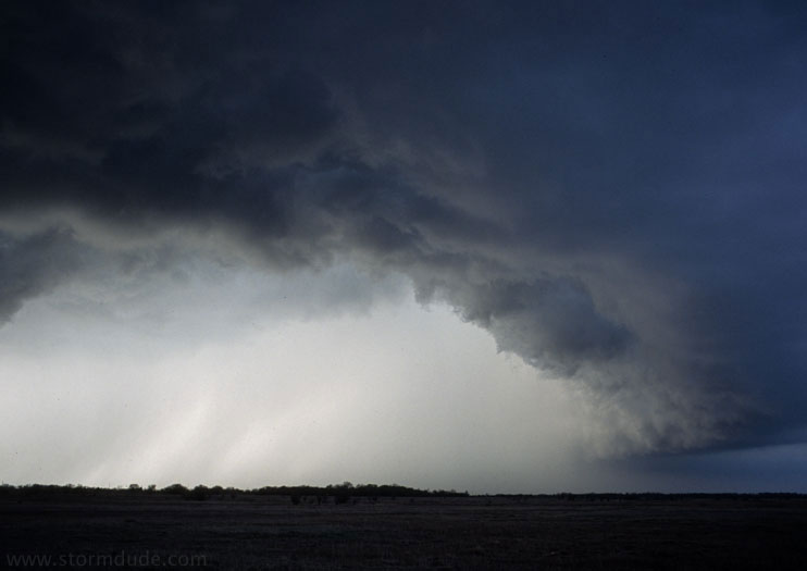
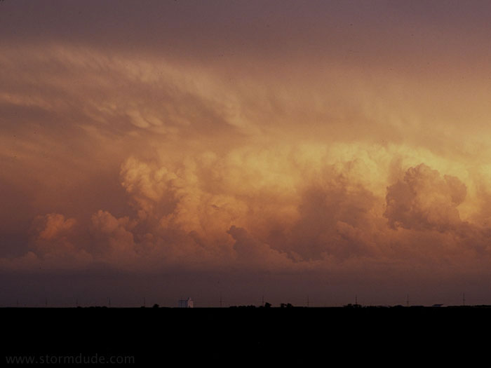
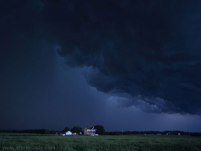
April 21st: Northeast Kansas Squall Line
Intercept this storm near Havensville, Kansas (northeast of Manhattan).
Storm begins transition to outflow-dominated. Tornadic storms are in southeast Kansas on this day.
Intense squall line just west of Cummings. Still in awe of scenes like this, I am thrilled to be in the Plains despite a tendency to find primarily non-tornadic storms.
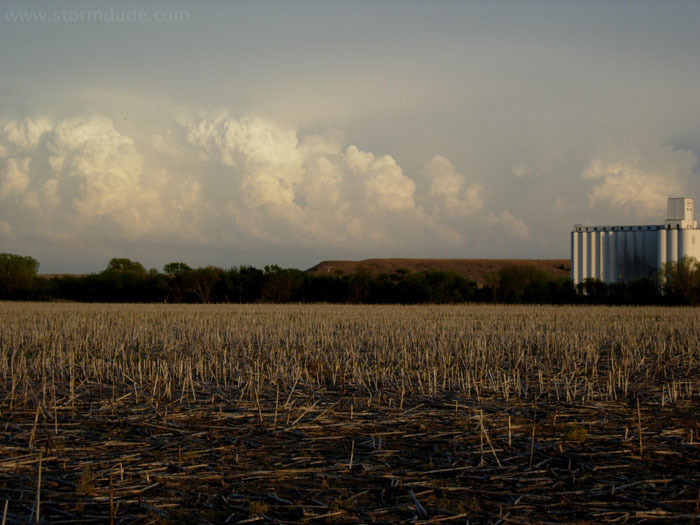
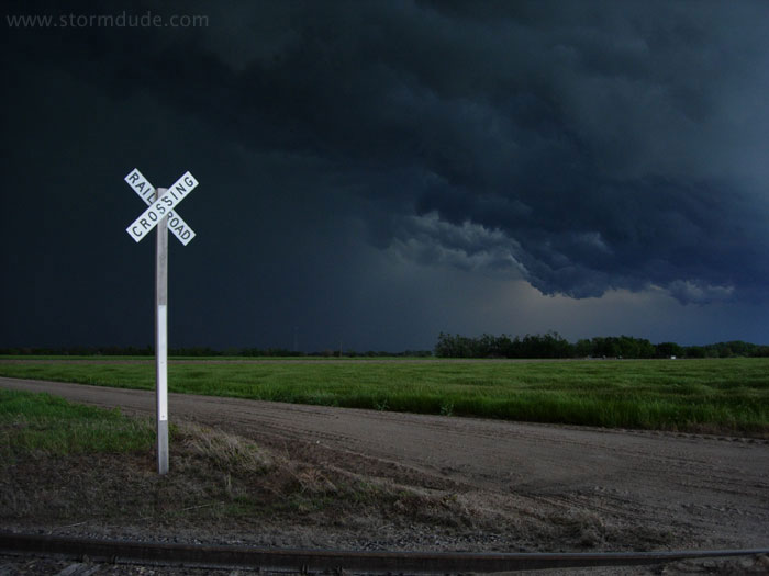
May 8th: Central Kansas Storm
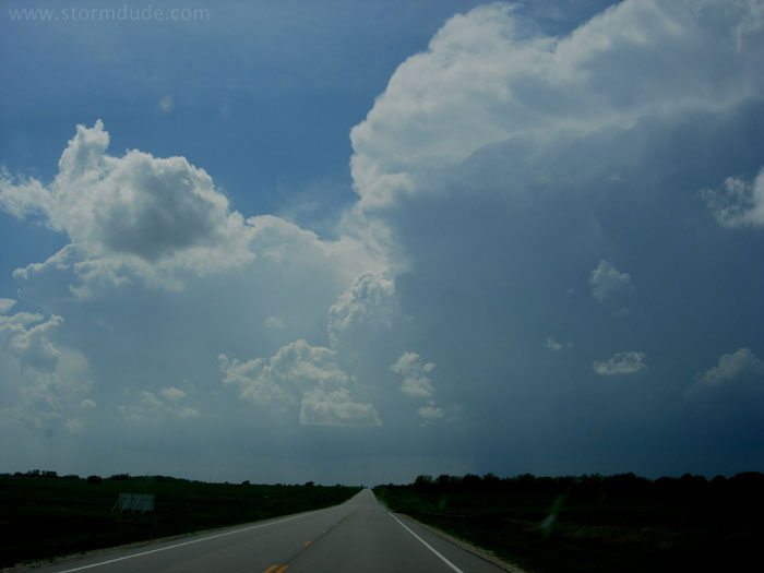
On a marginal chase day, isolated storm is developing west of McPherson, Kansas.
Looks like this may have some potential.
But after a brief funnel cloud, strong downdrafts begin to take over.
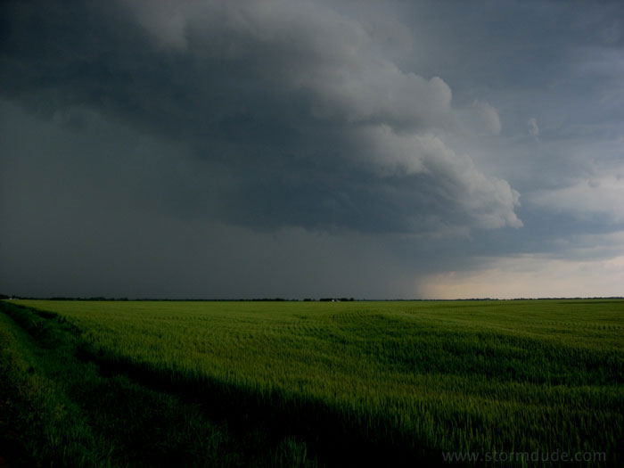
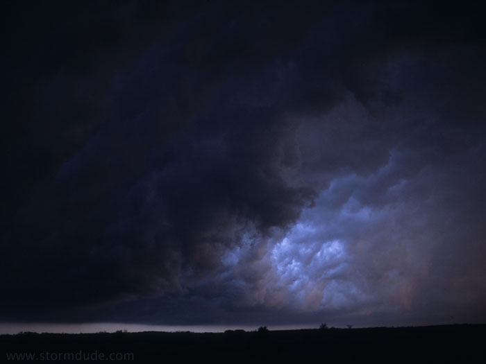
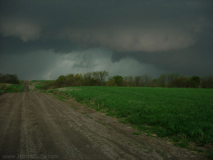
Developing shelf cloud over a Kansas wheat field.
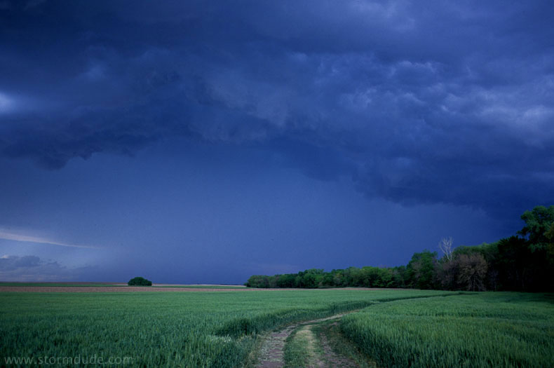
Another wheat field.
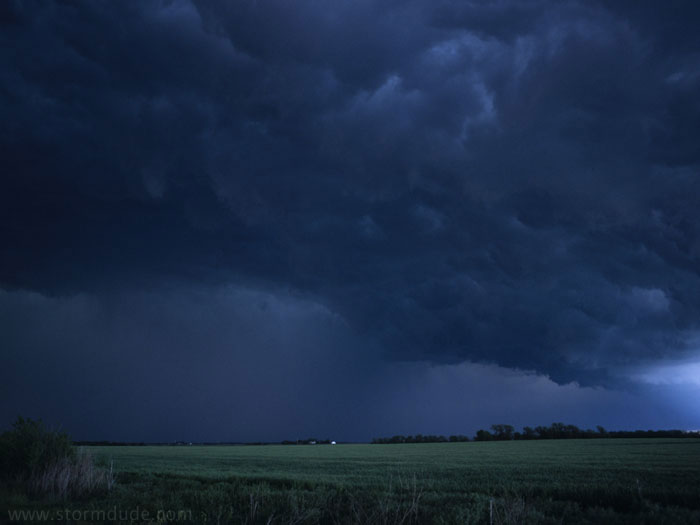
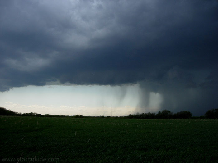
Leading edge of squall line as it advances southeast.
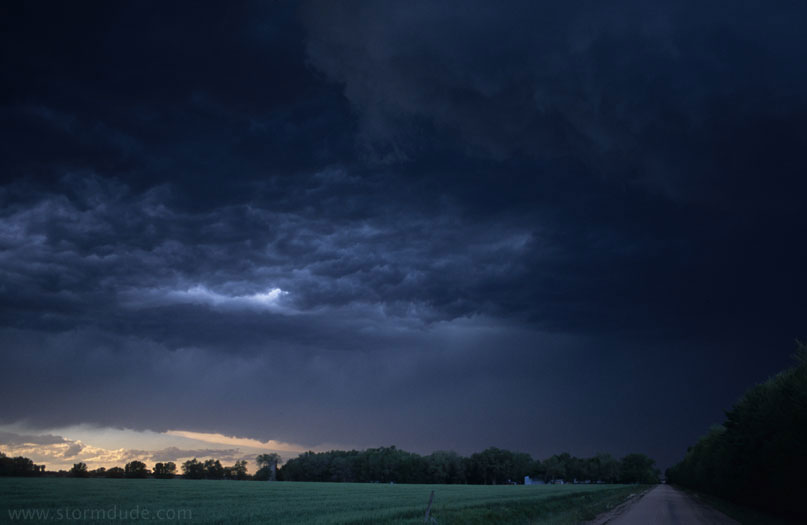
"Whale's mouth" turbulence on the bottom of shelf cloud.
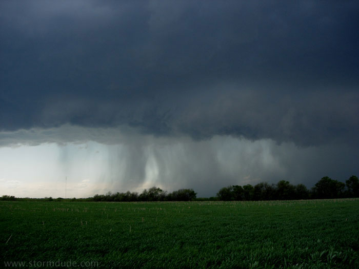
This scene is a good reminder of the potential magnificence of any severe thunderstorm on the Plains, even when conditions aren't favorable for supercells.
The threat from this outflow-dominated storm is marginally severe straight-line winds and one-inch hail.
At dusk, a new cell west of Wichita rotates briefly before merging with the squall line.