June 2nd: Oklahoma and Texas Thunderstorms
Morning squall line west of Ponca City, Oklahoma.
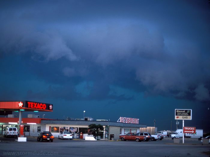
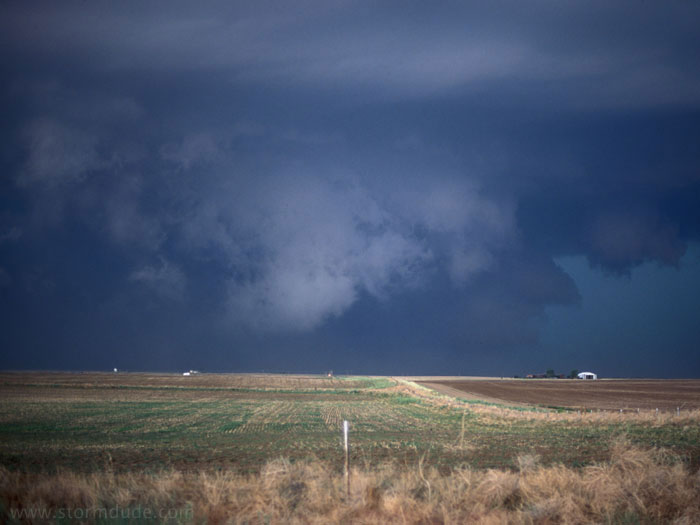
Late that afternoon, a classic scene in the Texas Panhandle.
June 3rd: Eastern Colorado Supercell
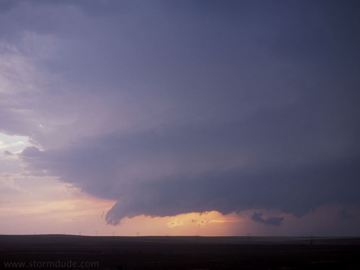
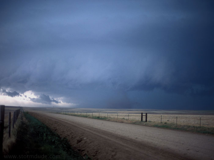
Supercell in the early evening just north of Stratton in eastern Colorado.
June 4th: Western Kansas Squall Line
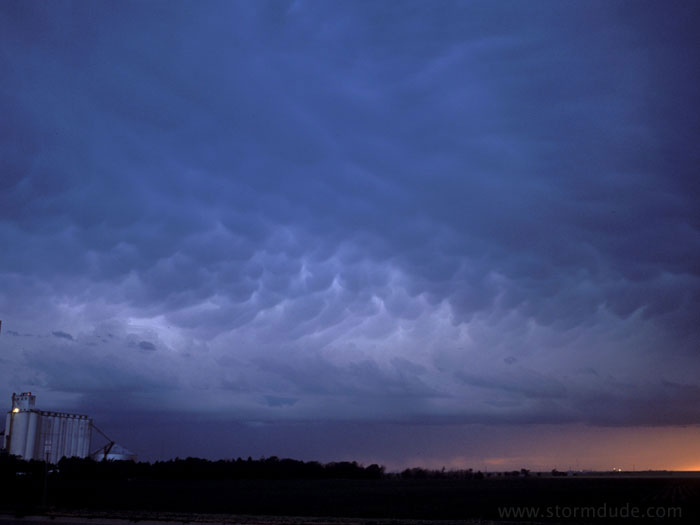
Dramatic sky ahead of squall line in western Kansas (photo taken looking west from Scott City). A web of cloud-to-cloud lightning appeared right after I took this.
June 5th: Central Kansas Thunderstorm
Near Ellsworth, Kansas, cloudburst in a marginally severe storm.
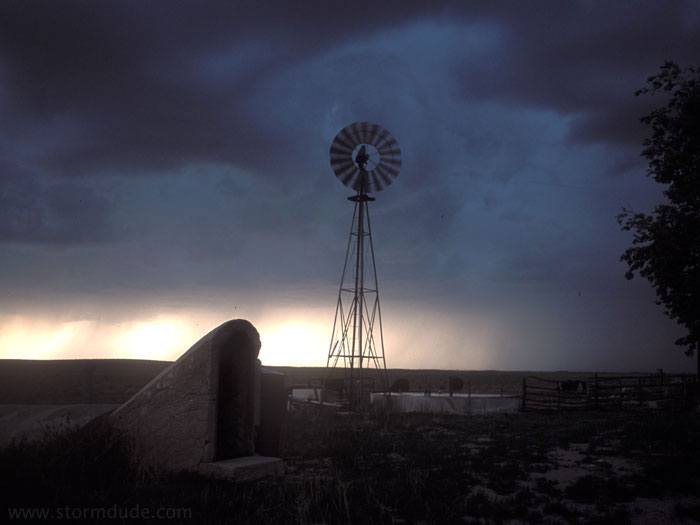
June 7th: Nebraska Thunderstorm
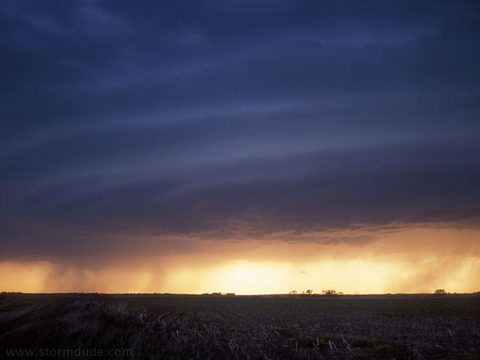
Storm at sunset northwest of Broken Bow, Nebraska.
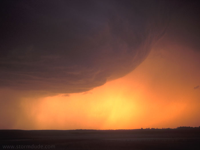
A small rotating updraft moves west, splitting from the main storm. This is another day when marginally severe weather provides one of my best photos of the year.
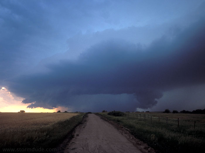
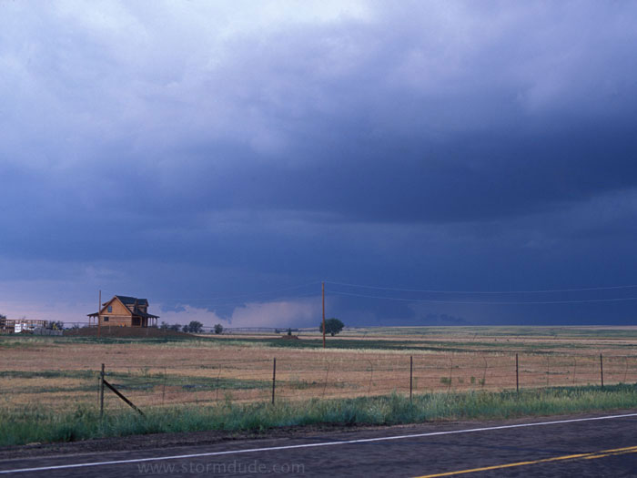
June 9th: Northeast Colorado Supercell
Supercell northeast of Denver.
Close-up view as the storm intensifies and begins moving northeast.
Downdraft stirs up cloud of dirt.

Wall cloud nearly touches the ground.