May 15th: Intense supercell near Stratford, Texas
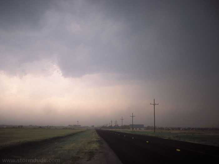
Just southeast of Dalhart, a storm is developing ahead of a strong upper low. Dust fills the air due to 40 mph winds in the dry northern Panhandle. This is the view looking east.
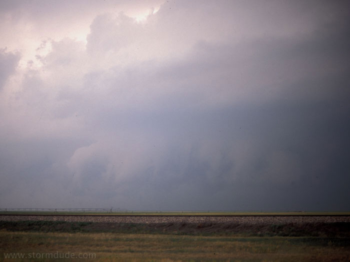
This is the view looking north. The storm had moved further north than I realized. I make matters worse by missing the northern road that would have taken me to the heart of the storm.
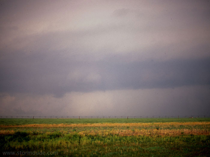
I catch up with the supercell again near Stratford. This is the view from just east of town, looking north at the storm just a couple of miles away. Though obscured by blowing dust, this is an impressive storm and quite awe-inspiring.
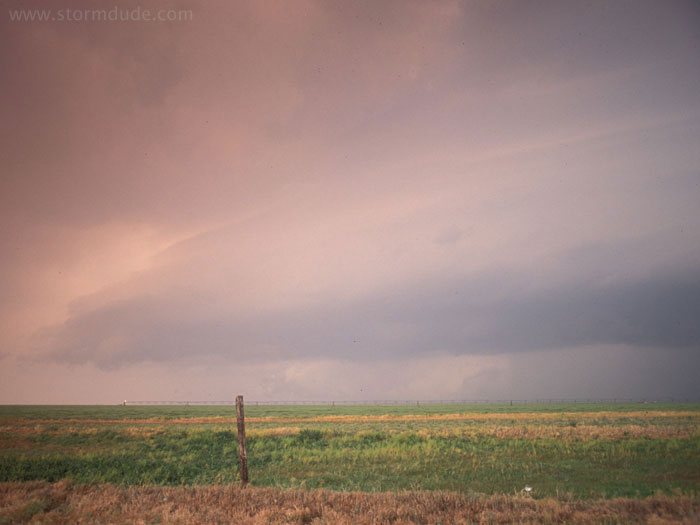
View looking northwest. Visibility is so poor that I don't see the tornado that is on the ground at this time. From other chaser reports, it appears that the tornado is only a few miles northwest of my position. (As I drive, I actually see a hazy outline, but with no clear view and no photographic evidence, it feels more like a missed opportunity).
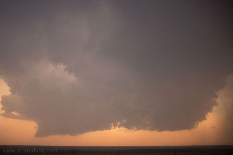
New convection near Texoma at sunset. Despite the impressive supercell and vague tornado sighting, today still ranks as a classic near-miss, where a slight variation in my road choices would have made all the difference. In fact, the entire month of May is a series of tornado-misses (see "Other storms, near-misses and busts"), which would have been very humbling except that I never thought I was that good a storm chaser in the first place.