June 9: Supercell and Tornado near Lenora, Kansas
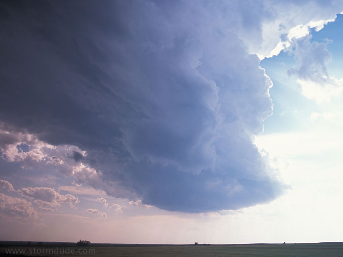
Early evening in northwest Kansas. Strong convection on the dryline in the wake of a weakening thundershower. This is the view looking west. With low CAPE and weak upper winds, I don't expect much.
Another view.
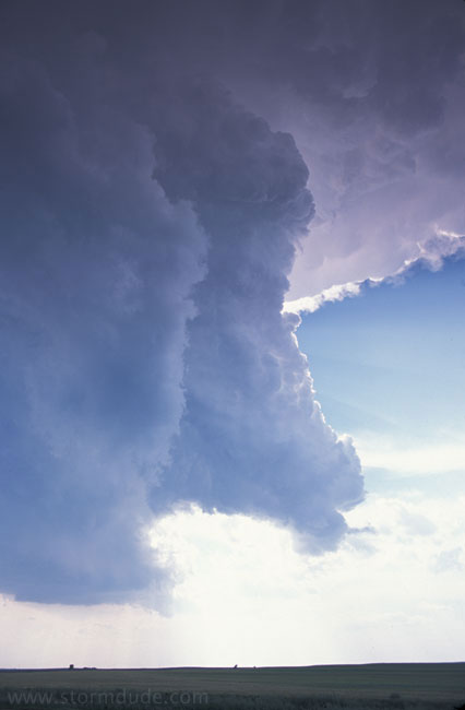
View looking south as rotation increases. Dime-size hail is falling around me.
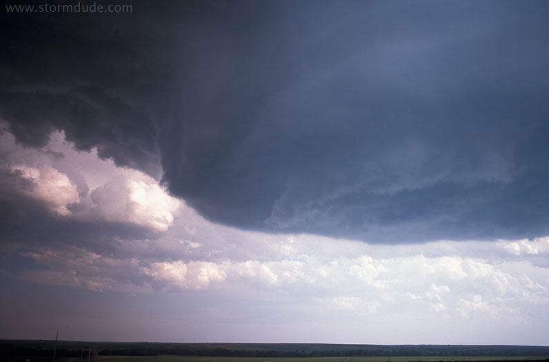
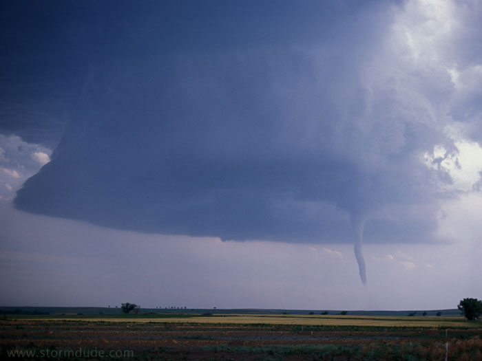
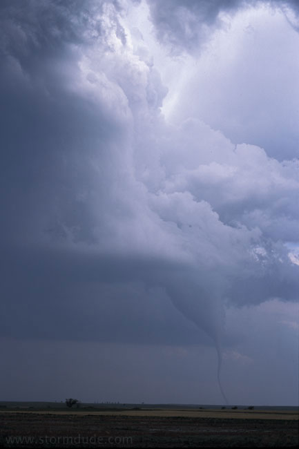
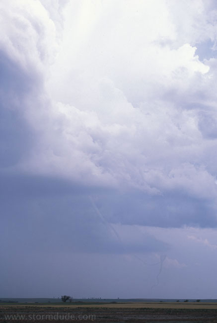
An hour later, I have a perfect view of the slow-moving storm. A funnel cloud, barely visible in this picture, begins to drop about 4 miles west-southwest of Lenora (I am positioned just south of town).
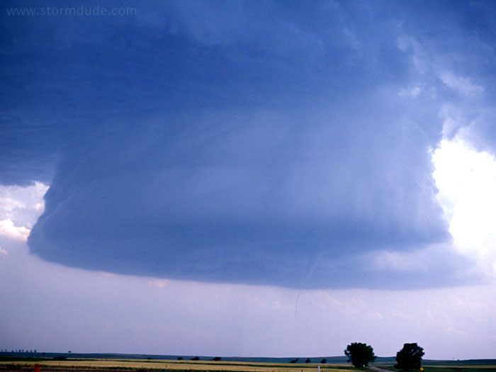
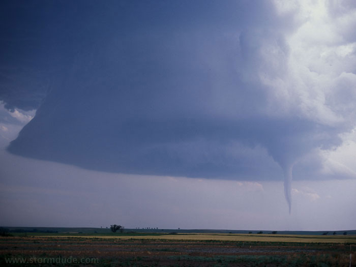
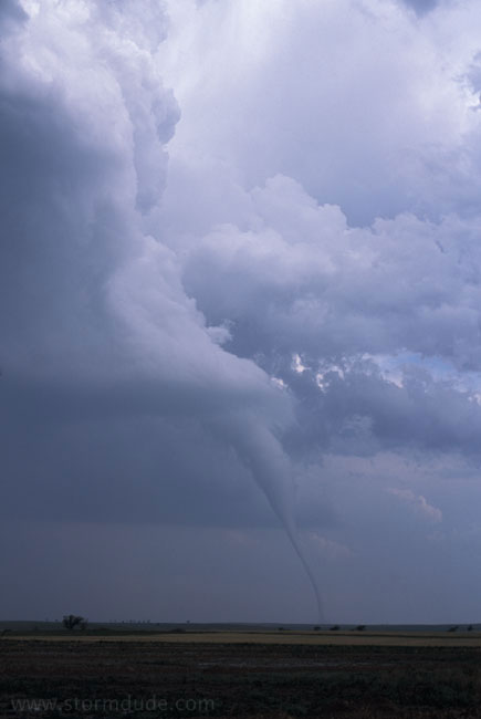
A clear slot begins to develop from a downdraft in the northern part of the supercell. At this point, weak circulation can be seen on the ground.
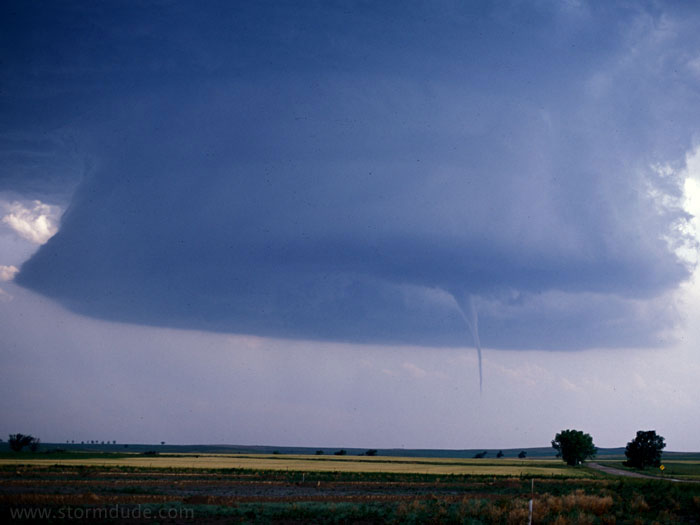
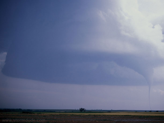
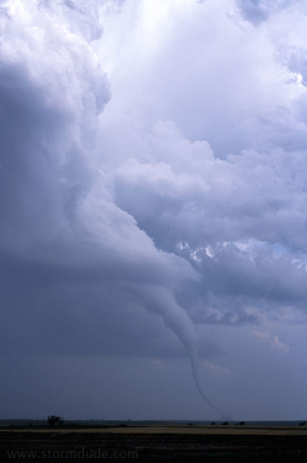
As the clear slot expands, the condensation funnel reaches the ground. A tornado siren begins wailing in nearby Lenora.
The tornado is moving very slowly counterclockwise within the storm's overall circulation. The lack of dust or debris is due to rain-soaked grass underneath the funnel.
Almost exactly 20 years from the time I decided to find and photograph tornadoes on the Great Plains, I am treated to my first close-up view of a tornado.
A contrast-enhanced close-up shows a vortex within the condensation funnel.
It is highly unusual to have a decent-looking tornado within such a small LP supercell. I have yet to see anything comparable to this in books or on the Web (but would appreciate hearing of any other storms like this).
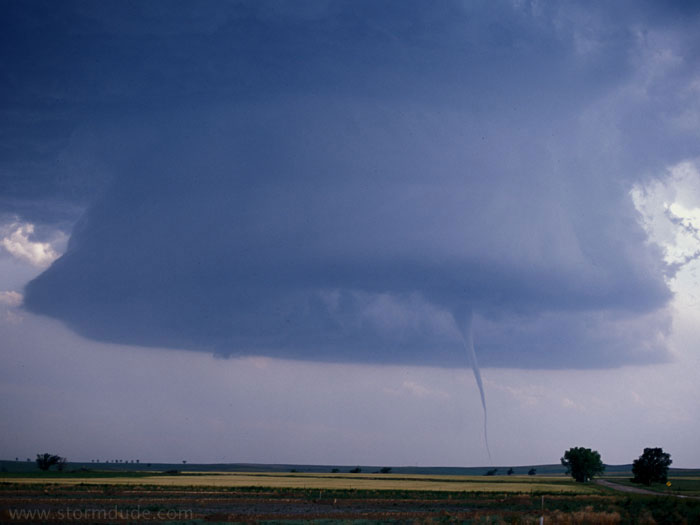
A little later.
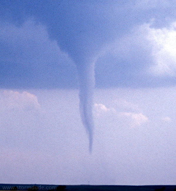
Late stage in tornado's life.
The tornado begins to weaken.
Rope stage, just before the tornado dissipates. This ends the best storm I've experienced, shortly after some very big misses.