June 11th: Supercell near Altus, Oklahoma
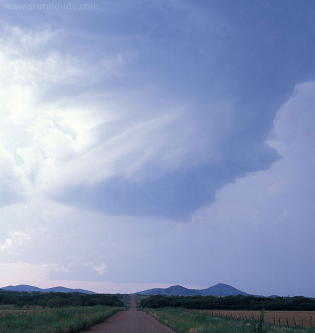
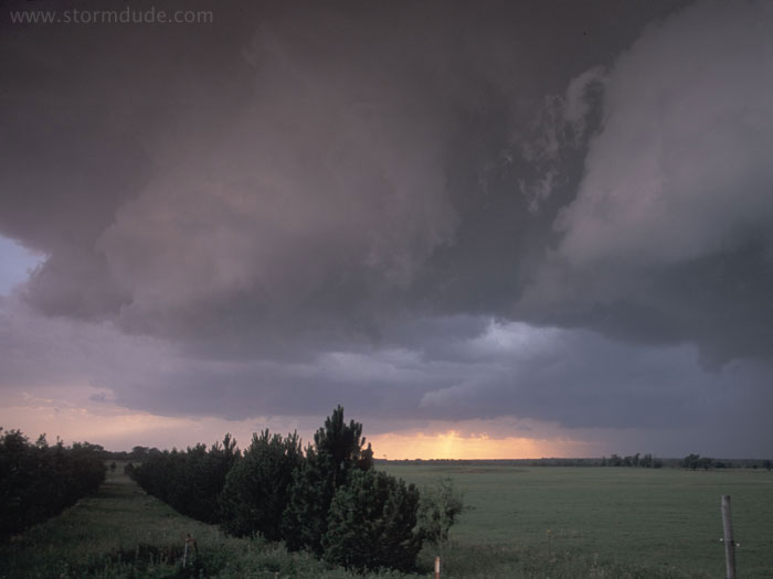
After a hot, muggy afternoon (90 degree temperatures and 70 degree dewpoints), a large thunderstorm forms in southwest Oklahoma, a few miles northwest of Altus. As I approach the main storm from the east, I see this new rotating updraft well ahead of the main storm.
Another strong updraft ahead of the main storm. Weak upper level winds and very high CAPE result in widespread convection, which precludes any tornado development.
 >
>
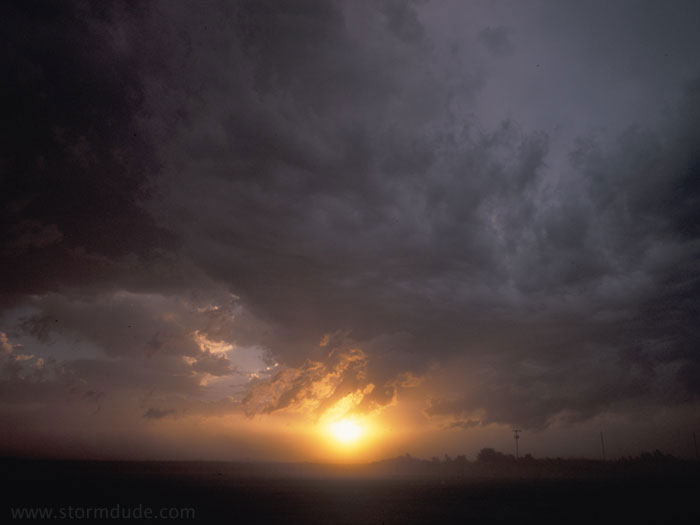
Rain-free base on the south side of the main storm. A lack of road choices keeps me from getting closer at this point.
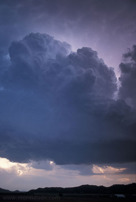
As new towers on the southeast merge into the main supercell, I get clipped by golfball-size hail along the southern edge of the storm. The wall cloud on the left is rotating rapidly. Also, I can hear large hailstones banging onto the tin roof of a farm shed a few hundred feet away.
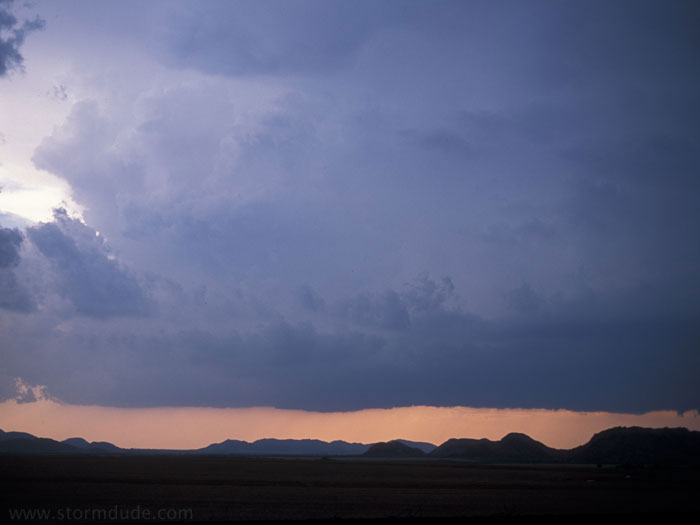
Within a few minutes, cool outflow from the storm undercuts the updraft that was feeding the wall cloud. While I am taking this photo, a stray baseball-size hailstone lands on the road fifty feet away (I retreat to a safer location).
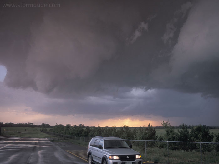
The rain-cooled outflow soon becomes 50 mph northerly winds.