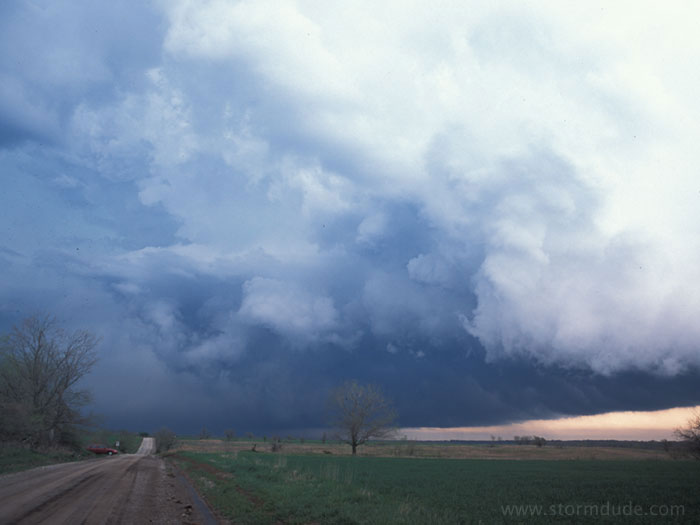
April 24th: Supercell near Melvern and Pomona, Kansas
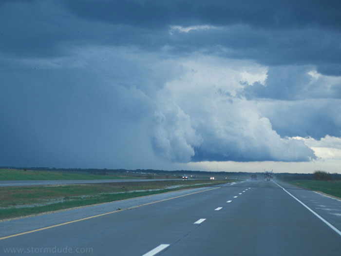
Low expectations today, but this is among the most beautiful storms I've seen. Weak upper winds and little surface inflow as I drive northeast from Wichita, Kansas, hoping to see a slow-moving squall line. I catch up with this developing supercell around 4:30 pm east of Emporia.
As I get closer to the southern end of the storm, rotation increases. The nearest edge of clouds is moving right and the farthest edge is moving left.
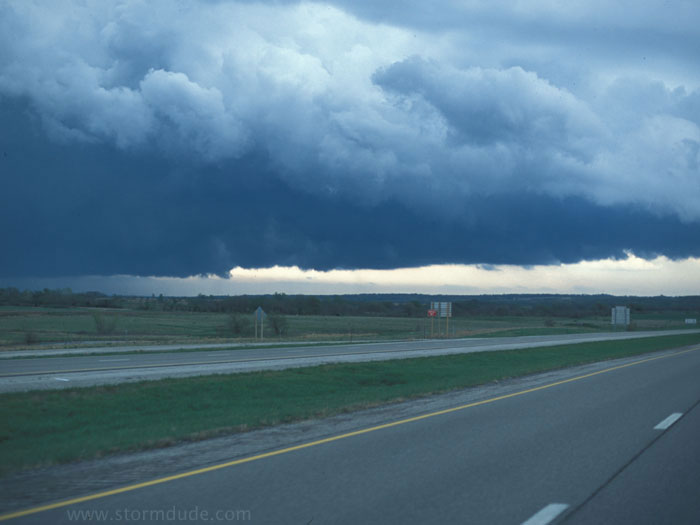
At 5 pm near Melvern, between Emporia and Ottawa, this spectacular sight is just north of the Interstate.
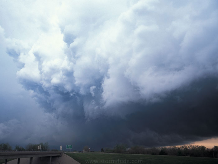
A couple of minutes later.
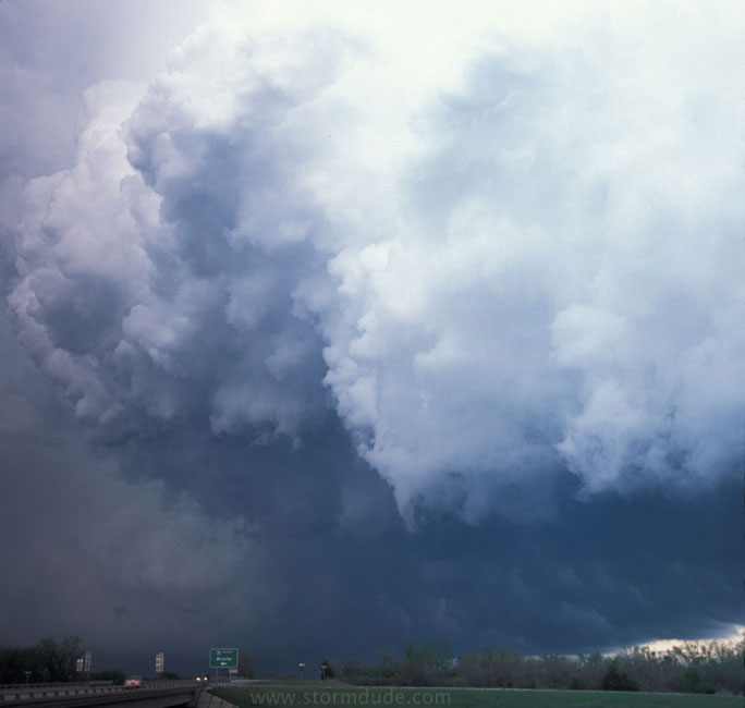
A few minutes later, as the storm moves away and rotation weakens.
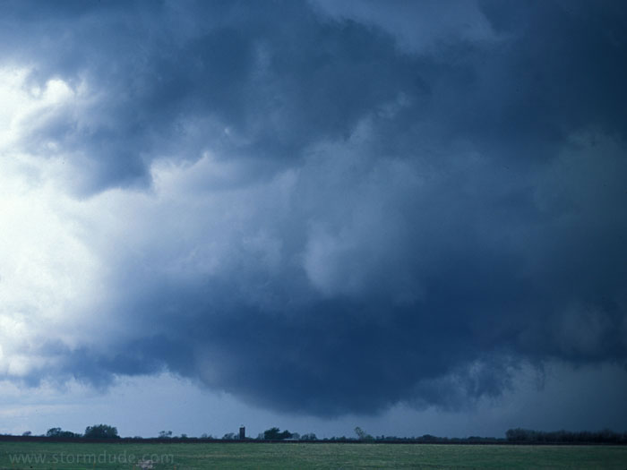
I get ahead of the storm near Quenemo and Pomona, just west of Ottawa, and have a close-up view of a wall cloud nearly touching the ground. But there isn't any rotation and no tornado develops.