April 23rd: Supercell near Guthrie, Oklahoma
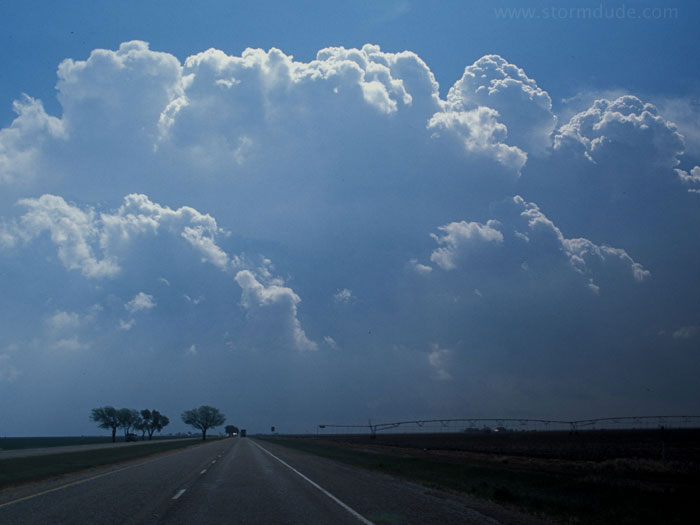
View of deep convection east of Lubbock around 11 am. I don't leave Lubbock until after 10 am, not realizing that storms are already beginning to fire up. Fortunately, I am able to catch up to the dryline and drive under a relatively weak updraft.
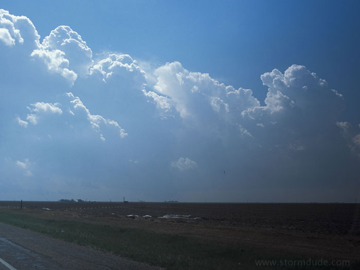
Looking southeast, down the dryline.
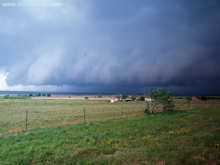
By noon, I had gotten ahead of the developing storm. This view is looking west-southwest from Dickens as a shelf cloud approaches.
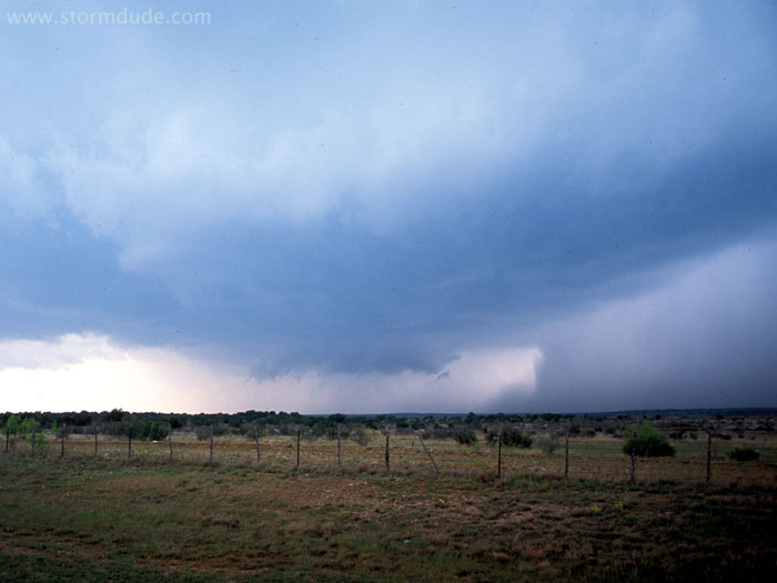
Small wall cloud forms as moist air from rainfall on the right is pulled upward and quickly condenses.
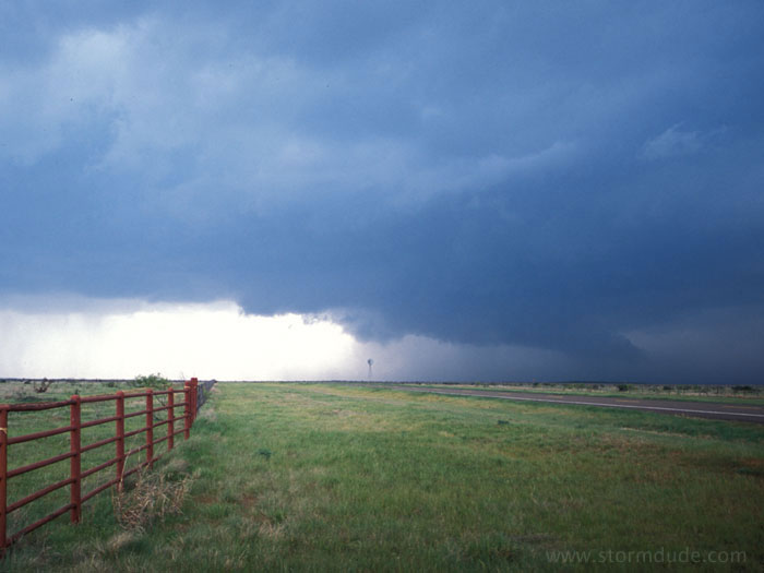
Near Guthrie, Texas. Note how the tail cloud points towards the storm's main precipitation region.
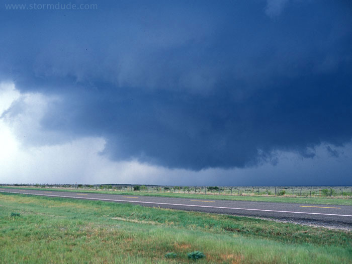
A few minutes later, a lowering with no rotation.
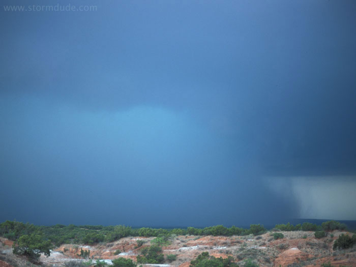
Cloudburst just north of Benjamin, Texas. Nearby lighting strikes encourage me and a couple of other chasers to relocate.
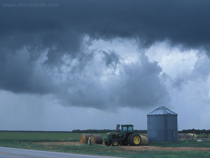
North central Texas in the spring. These were the types of scenes that hooked me on chasing severe thunderstorms when I lived in Fort Worth in the early 1980s.
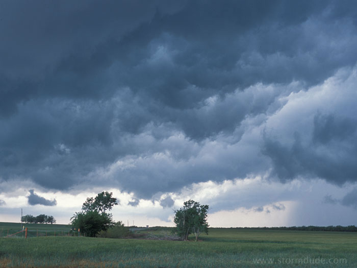
Rear of the storm as it weakens and races northeast, the underside of a non-threatening shelf cloud. This photo is one of nearly twenty of my photos that weather forecasters from three separate states have asked me to contribute to spotter training presentations. It's gratifying to play a very small part in helping with the process of protecting people from severe weather in the Plains (although there are many other storm chasers who play a far greater role).