May 22nd:
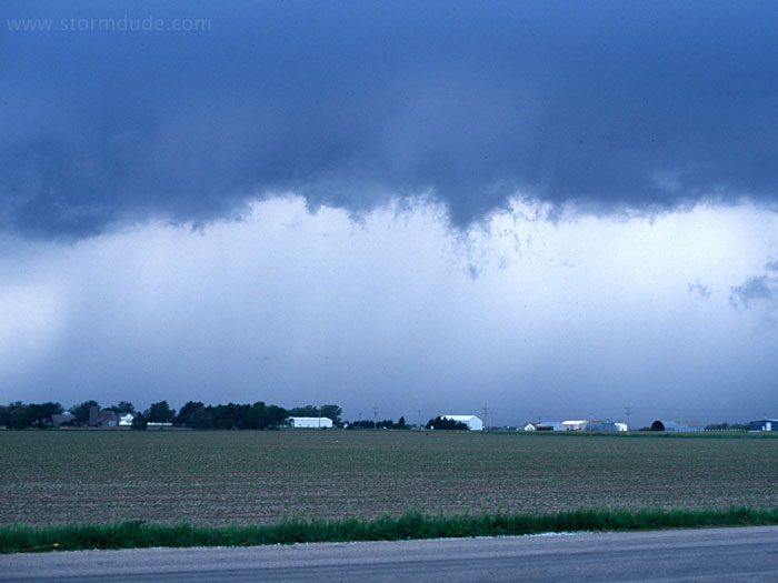
Disorganized thunderstorm east of York, Nebraska.
May 23rd: Texas Panhandle Storm
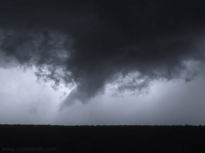
Weakening supercell in the eastern Texas Panhandle, west of Gage, Oklahoma. A much stronger supercell develops after dark near Pampa. I have a great view of it from town, but it is too dark for photos. The storm goes on to produce 2.5" hail and a weak tornado near Miami, Texas.
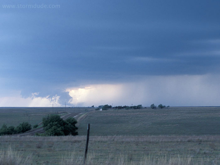
May 24th: West Texas Storm
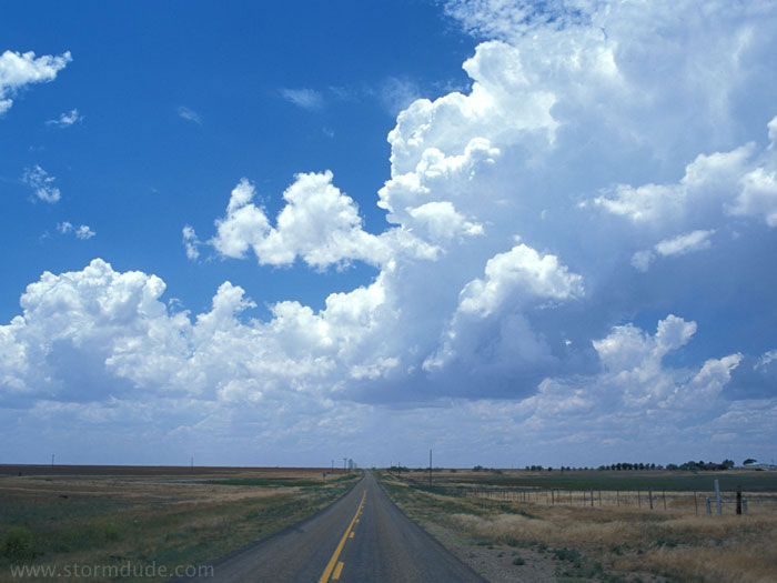
Beginning of an active dryline, mid-afternoon, near Matador, Texas (northeast of Lubbock).
A line of thunderstorms forms, making it tough to find any supercells.
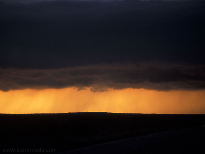
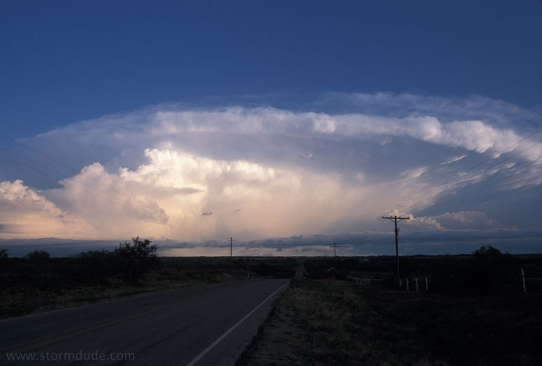
Sunset between storms south of Vernon, Texas.
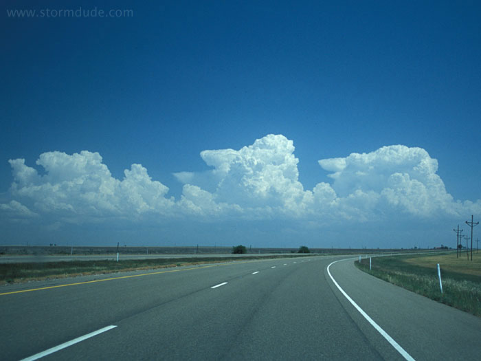
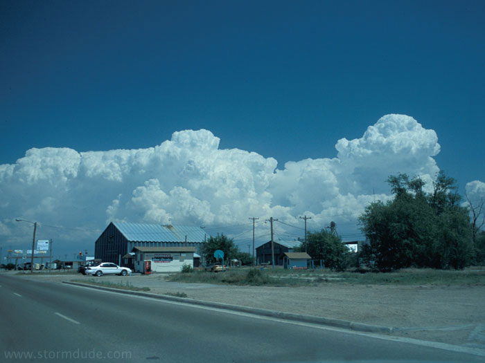
May 27th: West Texas Supercell
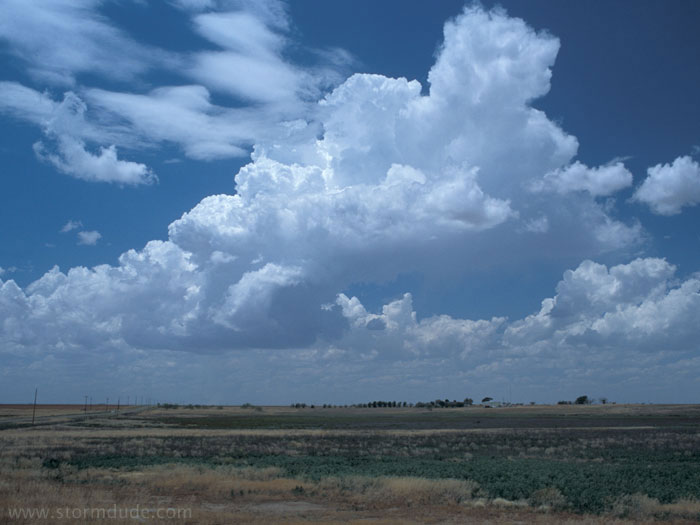
Initial convection early in the afternoon, northwest of Lubbock. A promising sign on a hot, humid spring day.
Half an hour later.
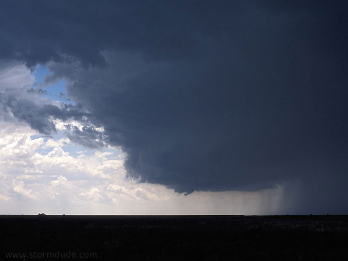
Supercell northeast of Lubbock, Texas.
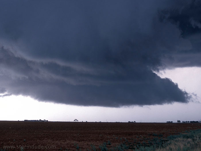
New lowering in the early evening. We don't get storms like this in Southern California.
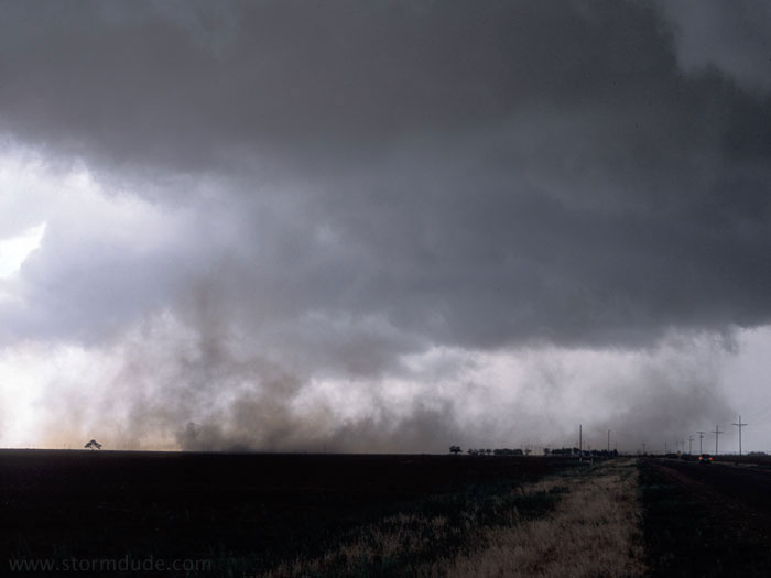
A few minutes later, strong downdrafts stir up dust from a freshly plowed field.
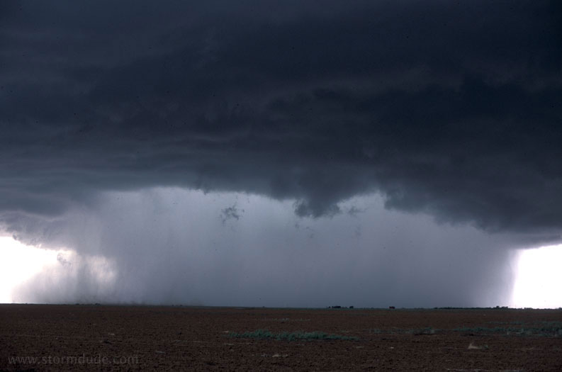
Soon after that, a new downpour. This photo was included in a 2003 calendar published by WeatherMatrix.
A few minutes later.
Same storm from a distance.
May 28th:
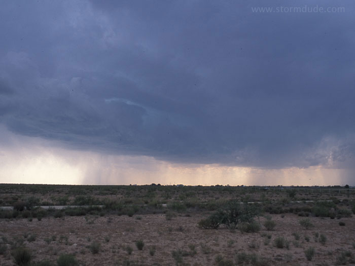
Marginally severe storm south of Odessa, Texas.