June 10th: Kansas Thunderstorms

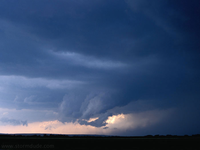
Late in the afternoon, convection near Osborne, Kansas (northwest of Salina).

A new cell tries to develop to the west.
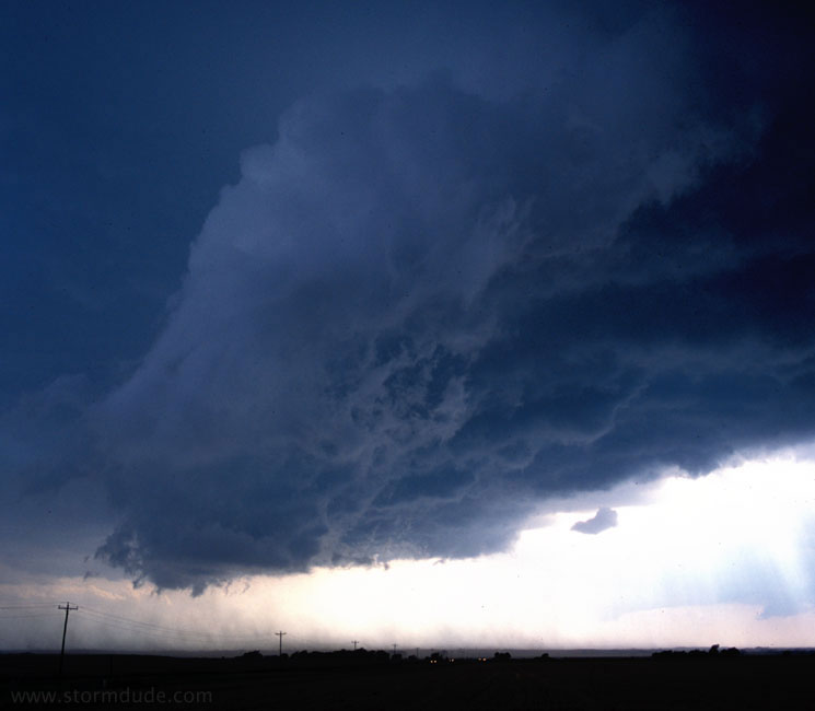
June 11th: Central Kansas Supercell

An HP supercell develops west of Ellsworth, Kansas.
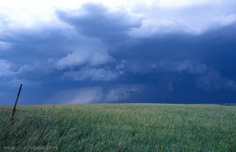
An hour later.
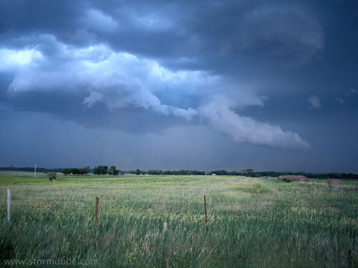
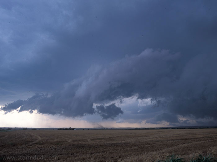
A few minutes later, just west of Ellsworth. The storm soon stalls and becomes outflow-dominated.
Western end of squall line that developed that evening.
June 12th: Northwest Oklahoma Supercell
Another HP supercell the next day in northwest Oklahoma, west of Alva.
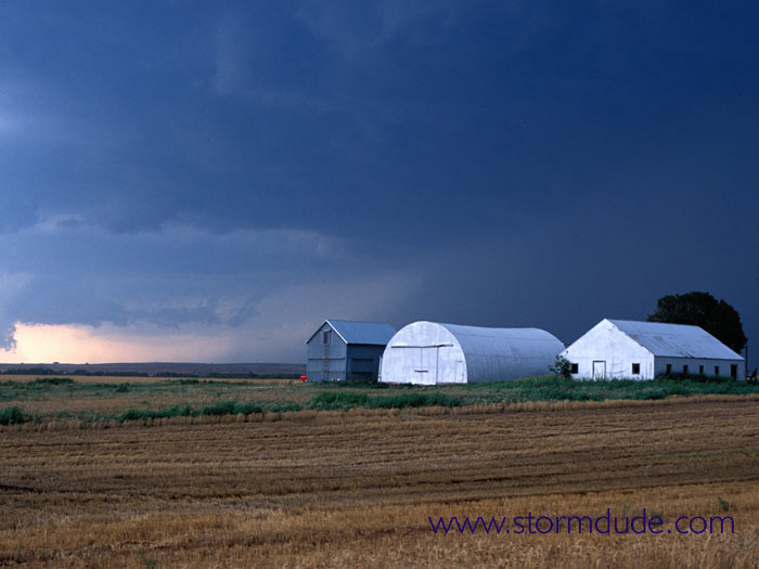
An ominous lowering as the storm gets better organized.
A few minutes later.
The storm is becoming outflow-dominated.

Ragged scud clouds at leading edge of cool outflow.

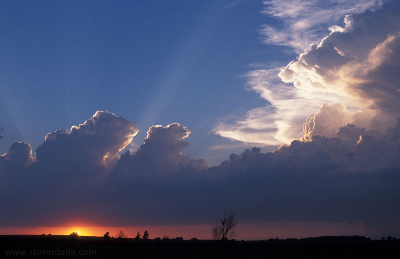
An hour later, looking north at the southeast-moving storm, as another storm season ends.