May 2nd: Texas Panhandle Supercell
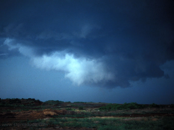
Supercell southwest of Childress, Texas. A clear slot seems to be developing as the wall cloud crosses just south of town, but the storm subsequently becomes disorganized and weakens.
May 3rd: West Texas Storm

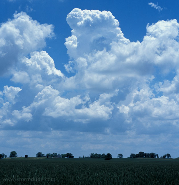
Developing storm near Morton, Texas (close to New Mexico state line, west of Lubbock).
May 5th: Northwest Oklahoma Storm

New tower at sunset in Woodward, Oklahoma.
May 6th: Northern Oklahoma Storm

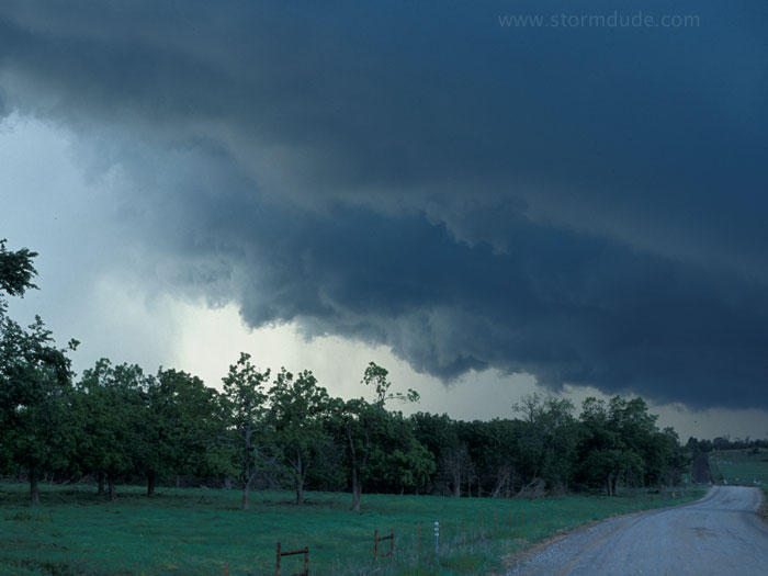
Driving east towards building cumulus along a very active dryline, about 30 miles south of Enid, Oklahoma.
A view towards the southeast.

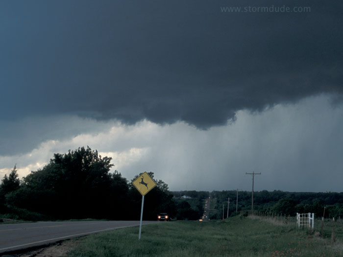
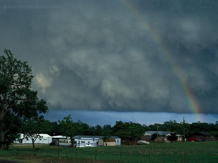
Wall cloud over Guthrie. This is a good example of a non-tornadic storm that could easily be reported as a large tornado by inexperienced spotters.
Line of storm chasers getting ahead of rotating storm over Asher (southeast of Oklahoma City).
Same storm just before it enters Ada.
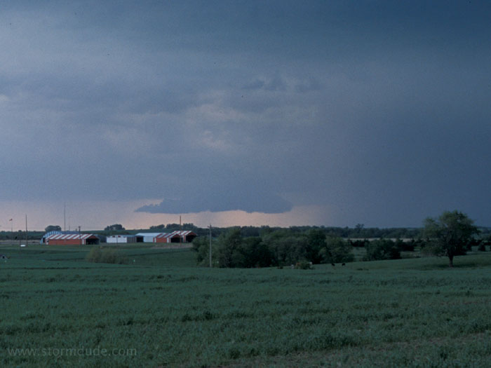
Five minutes later, rear of storm.
May 8th: Northern Kansas Supercell
Supercell and wall cloud near Jewell, Kansas.

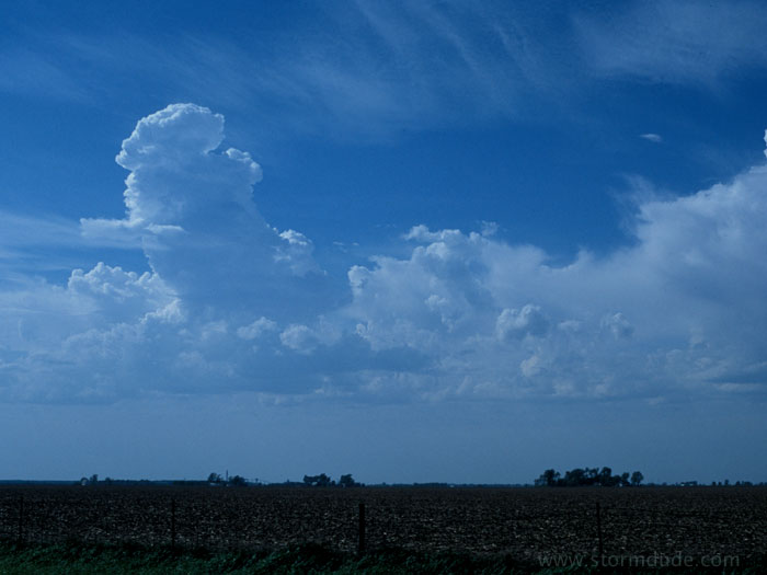
New cell to the southwest.
May 9th:
Beginning of towers that form MCS in southeast Nebraska.