May 17th: Northeast New Mexico Storm
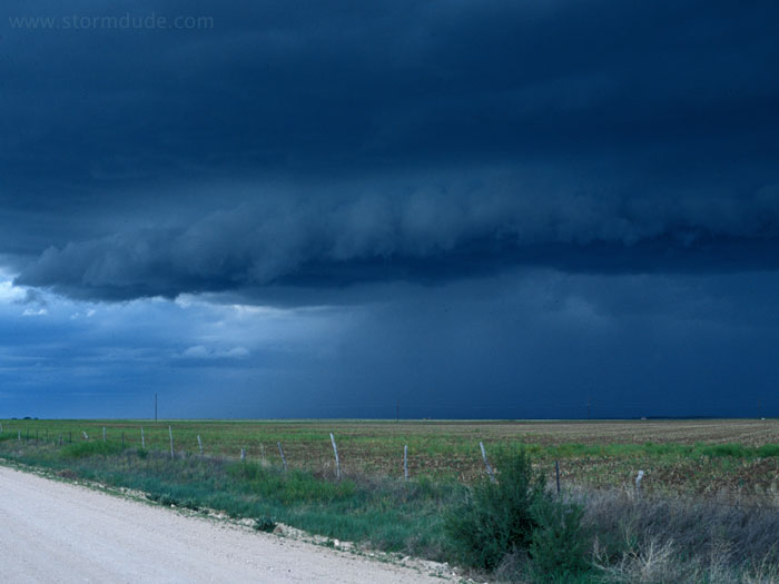
Outflow from storm along stationary front near Clayton, New Mexico, begins to develop a shelf cloud. After being hit by cool northerly winds, I head south for Amarillo.
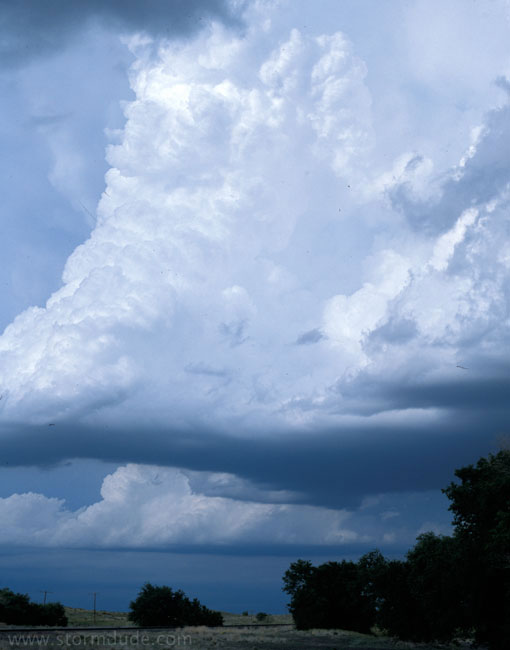
As I near the Texas state line, I come across several rapidly developing cumulus towers, apparently triggered by outflow from the Clayton storm.
This dramatic view of the Texas prairie is just a few minutes later, as I begin my dash between several exploding towers to get ahead of the developing HP supercell.
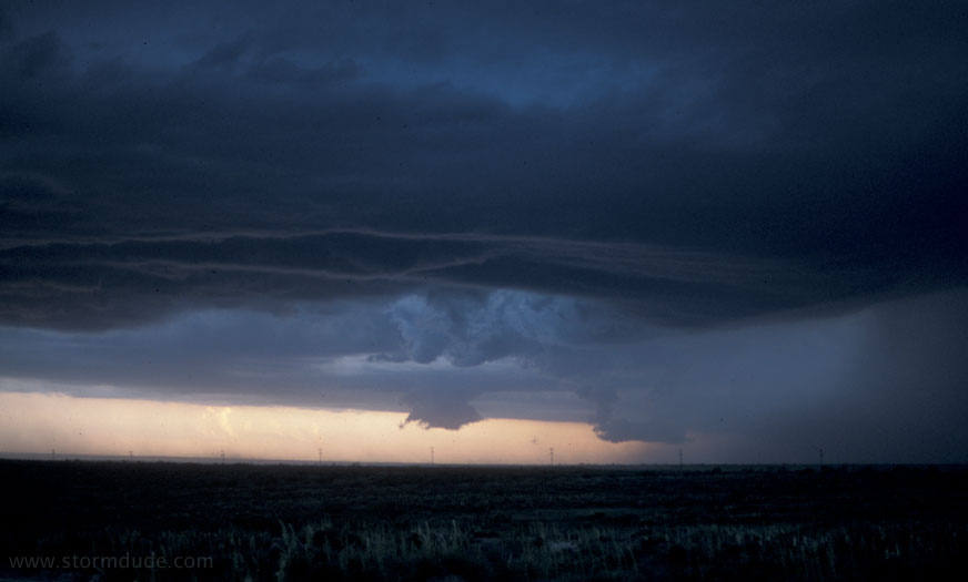
An hour later, an HP monster is just west of Channing, Texas. Strong rotation with inflow of 40 mph.
May 20th:
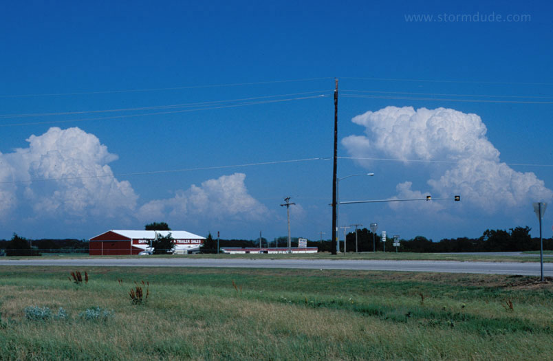
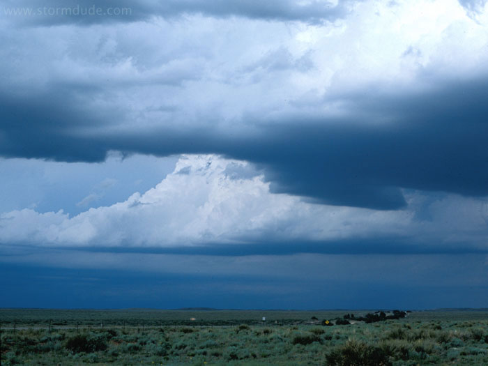
Strong convection near Ada, Oklahoma. Unfortunately, chasing these would mean venturing into the hills and forests of southeast Oklahoma.
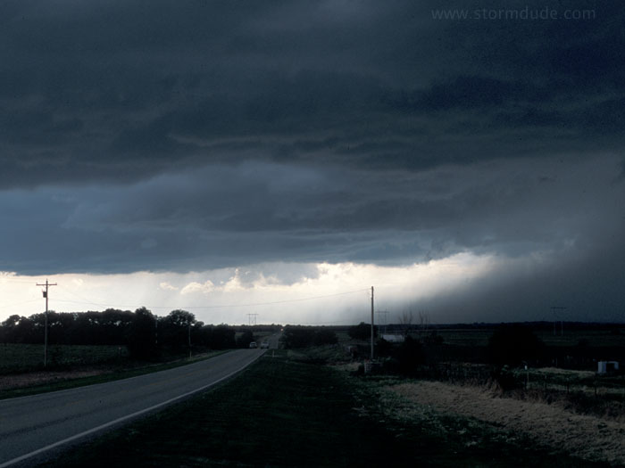
Outflow-dominated thunderstorm near Minco, Oklahoma (southwest of Oklahoma City).
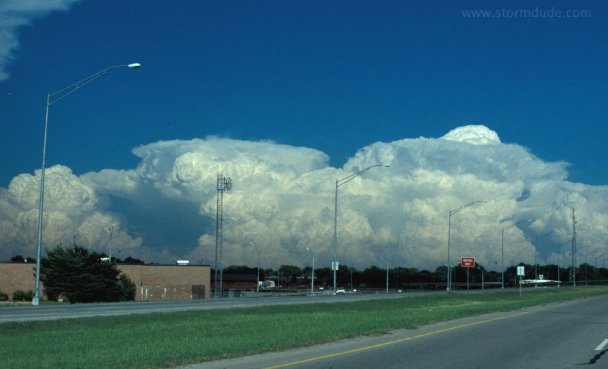
Meanwhile, storms near Ada have intensified.