May 2023
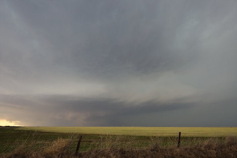
May 4: Subtropical jet becomes active in Texas (vs. the polar jet, the usual factor in formation of supercells in the Plains). Marginal parameters result in this interesting updraft near Matador, Texas.
May 5: Weak upper winds today but mid-90s surface temperatures and high CAPE (20 knots at 500mb, 10 knots at 850 mb and 3000 CAPE). This hailstorm is near Rising Star, Texas (southeast of Abilene).
Outflow-dominated thunderstorm near Gorman, Texas.
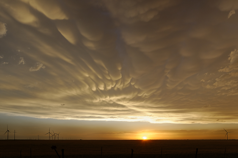
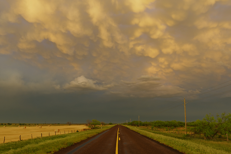
May 6: After a day of watching low-visibility, non-photogenic thunderstorms, I find some interesting mammatus scenes at sunset.
Southeast of Munday, Texas.

Rows of mammatus behind a line of severe thunderstorms in northwest Texas.
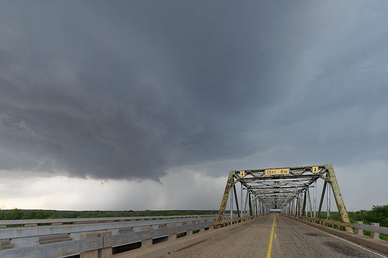
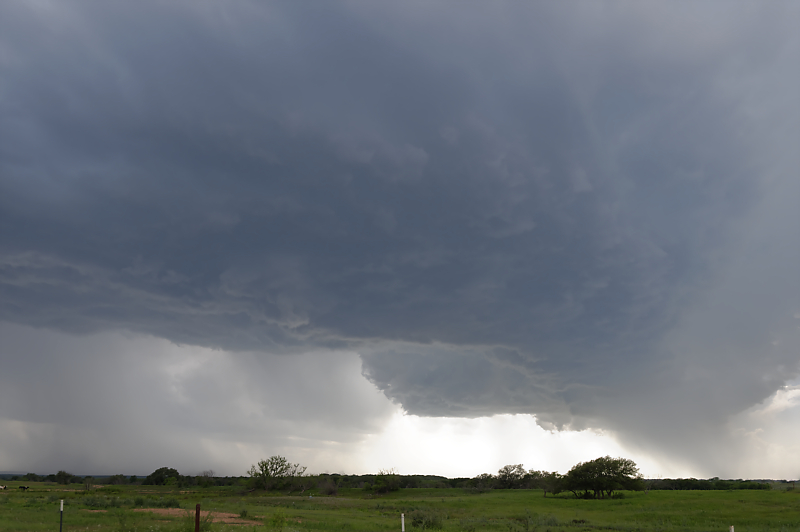
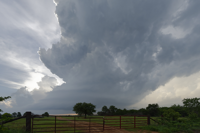
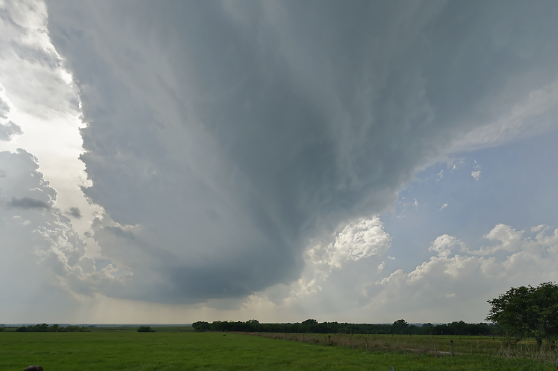
May 7: Another day under the subtropical jet stream. Weak mid-level winds but very high CAPE (over 4000). Storm moving over the Brazos River south of Benjamin, Texas.
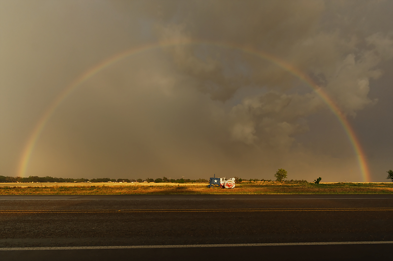
Patriotic tractor by Knox City, Texas, behind a severe storm. Active day of storm watching, but not enough shear for rotating, photogenic storms.
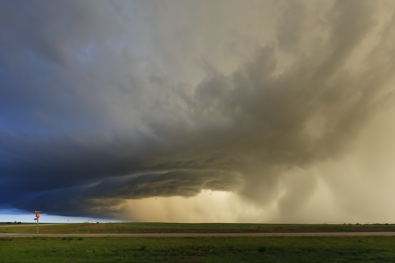
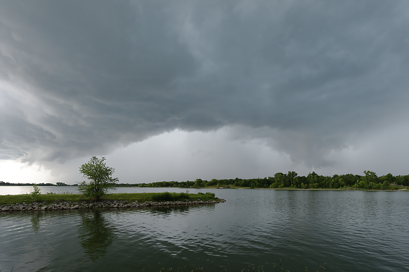
May 9: Very good prospects today, but morning MCS (mesoscale convective system, i.e. a large complex of thunderstorms) pushes cool air across my target area of west-central Kansas. Nevertheless, I catch this beautiful storm southeast of Pratt at sunset.
May 11: Forecast looks good for western Oklahoma supercells today, but the anticipated polar jet streak (i.e. a shortwave trough of low pressure) makes an unexpected turn north, into Kansas. I intercept this small storm near Duncan in southern Oklahoma instead.
Beautiful updraft with signs of rotation near the town of Marlow, Oklahoma.
At sunset near Rush Springs. Interesting storms today, but nowhere near the expectation of a classic supercell outbreak.
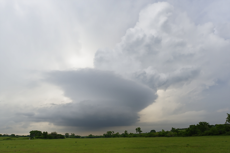
May 12: Very high CAPE today in Oklahoma, but weak winds and low shear. Strong updraft east of Lawton, Oklahoma.
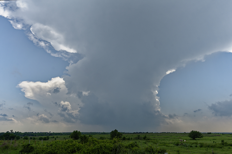
Signs of rotation in this updraft northeast of Rush Springs, Oklahoma. Nice storms to watch in Oklahoma, but the intense supercells today were in Nebraska.
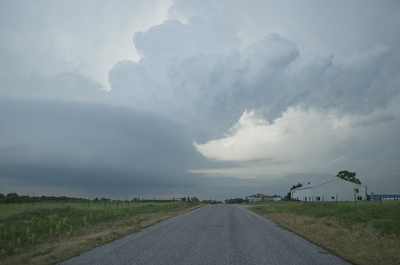
May 13: Marginal conditions today as I intercept this outflow-dominated thunderstorm southwest of Chickasha, Oklahoma.
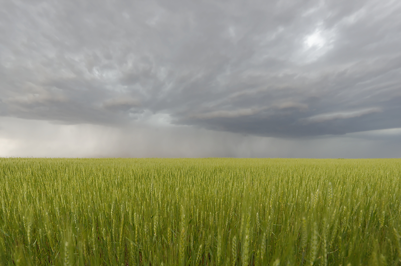
May 17: Wheat field in the Texas Panhandle. A stagnant jet stream pattern is resulting in nearly daily rains over western Texas and the Texas Panhandle.
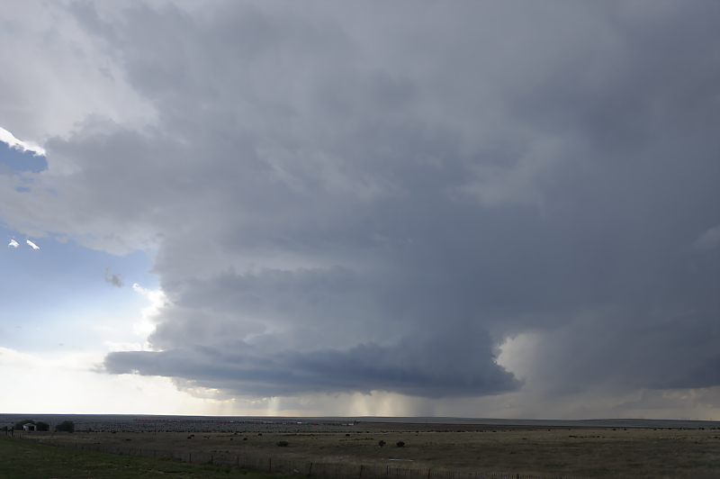
May 18: Good rotation on this supercell northeast of Amarillo, Texas.
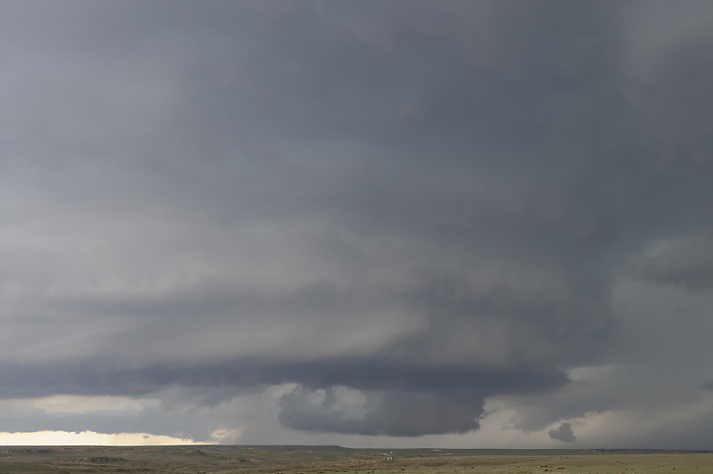
Wall cloud under a layer-cake updraft.
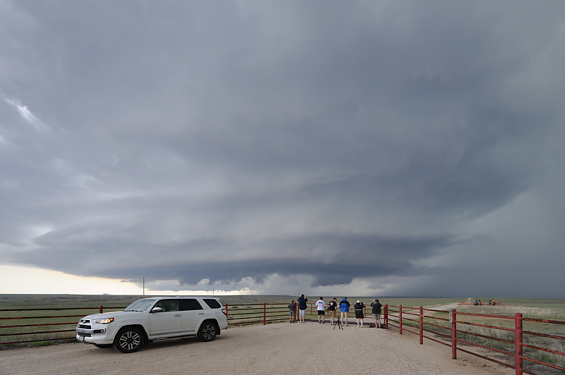
Group of storm chasers enjoying the slow-moving supercell.
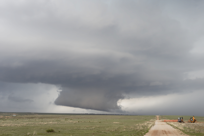
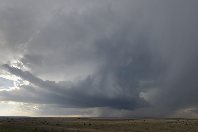
Wall cloud being fed by saturated outflow from the forward flank downdraft.
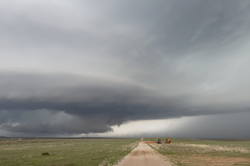
Rain-cooled outflow undercuts the updraft before a tornado can form. This is my first supercell of the season, somewhat late in the year as the ingredients of good CAPE and shear rarely came together during daytime hours.
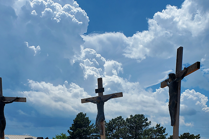
May 22: Thunderstorms forming near a religious display in Groom, Texas.
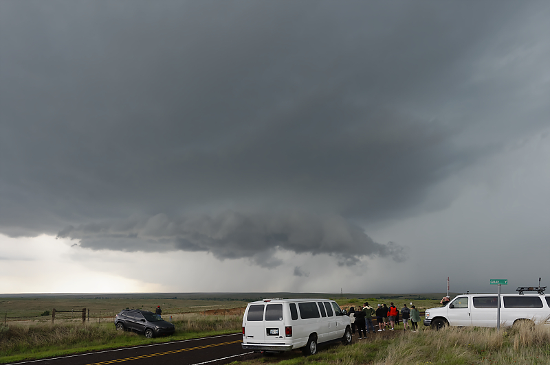
Storm chase tourists watching a storm north of Alanreed, Texas.
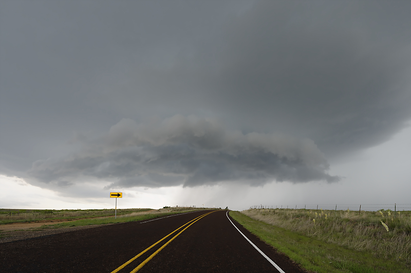
Approaching storm on a remote highway north of Alanreed. Too many thunderstorms form today, with rain-cooled outflow interfering with neighboring storms (isolated storms are the most photogenic).
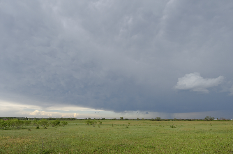
May 23: Storm approaching Plainview, Texas.
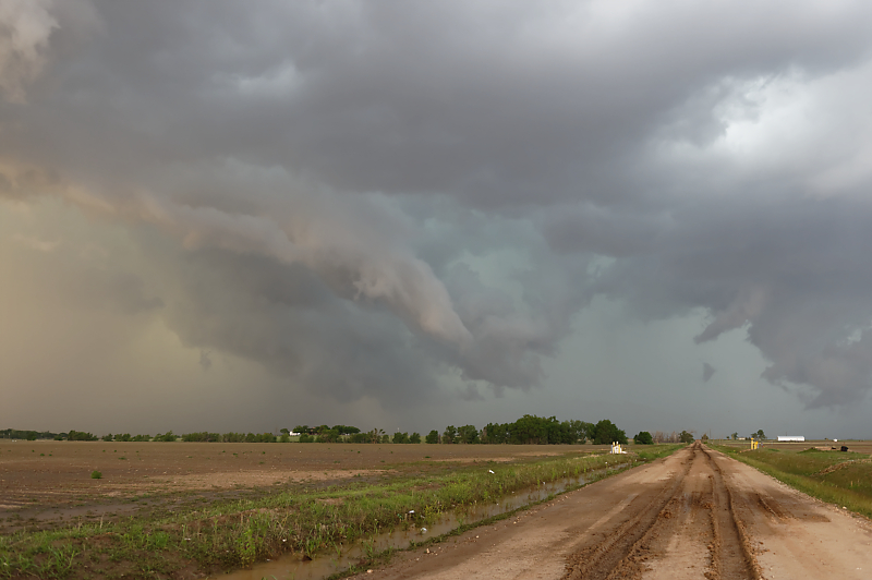
May 24: Outflow-dominant thunderstorm complex in far eastern New Mexico.
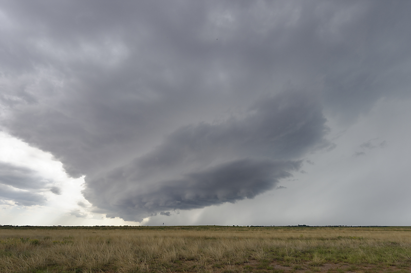
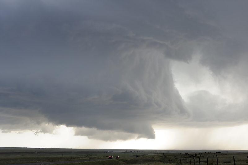
May 26: Supercell near the town of Vaugn in east-central New Mexico.
Very far west for this Plains-type of thunderstorm.
Second supercell forms near Encino, New Mexico.
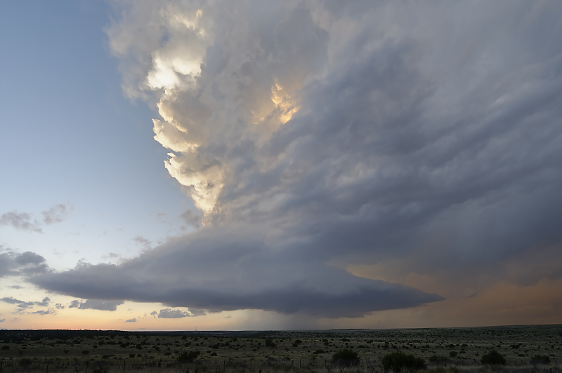
View after sunset. Jet stream blocking pattern continues to feed moisture into the High Plains of eastern New Mexico and western Texas, with nearly daily thunderstorms the result.
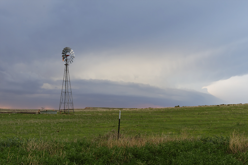
May 30: Summer-like pattern continues with a weak squall line south of Dumas, Texas.
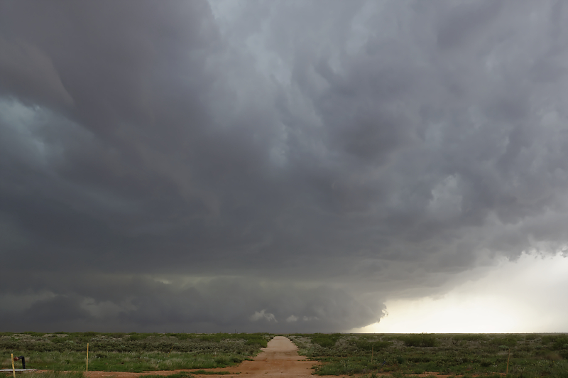
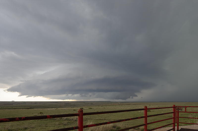
May 31: Now four weeks into an unusually active period for thunderstorms in the southern High Plains, I intercept this cell near the Texas-New Mexico state line.