June 2023
June 2: Storm in southwest Texas. Typical of storms under the subtropical jet stream, it quickly becomes outflow-dominated and connected to a larger thunderstorm complex.
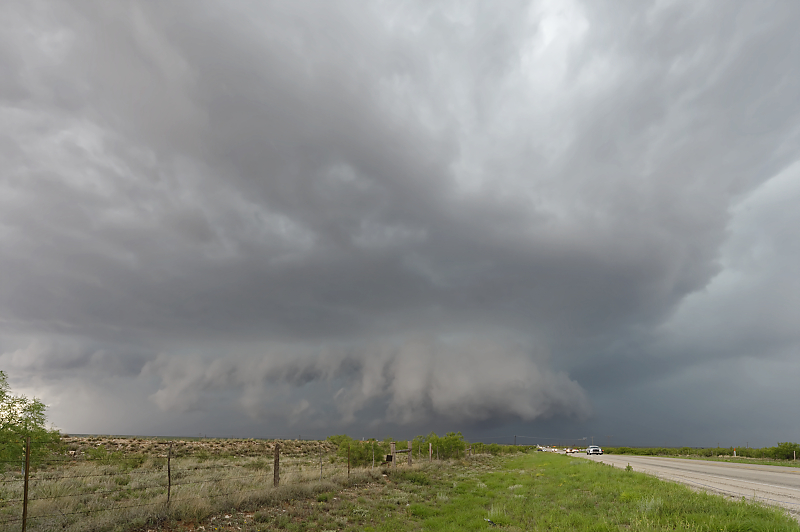
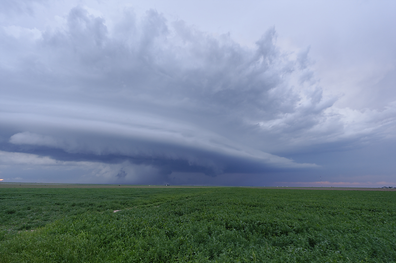
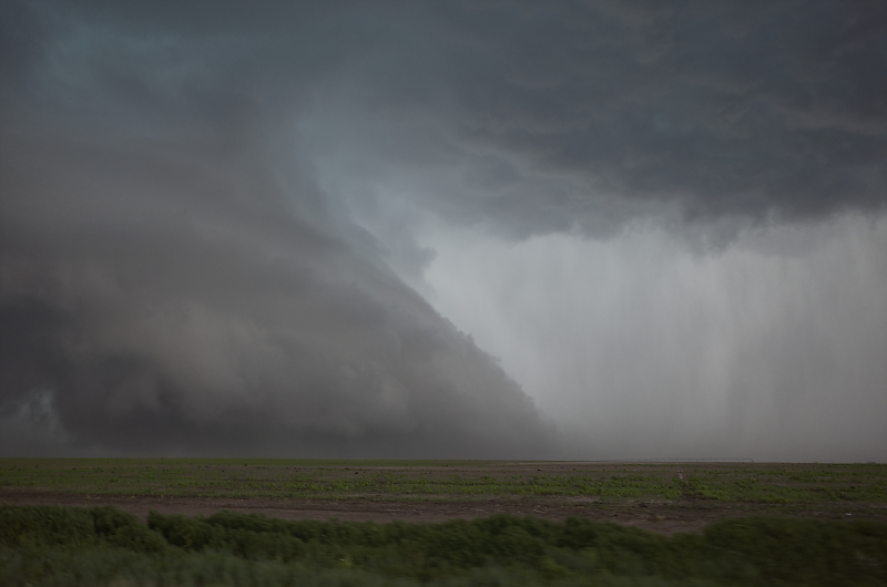
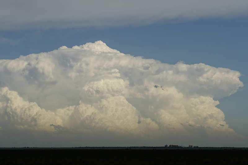
June 11: Still under the influence of the subtropical jet, I finally find a supercell in southeast Colorado.
Three hours later, I re-intercept the supercell in the far western Oklahoma panhandle.
Storm continues moving southeast, near Boise City, Oklahoma.
Southeast of Boise City after sunset.
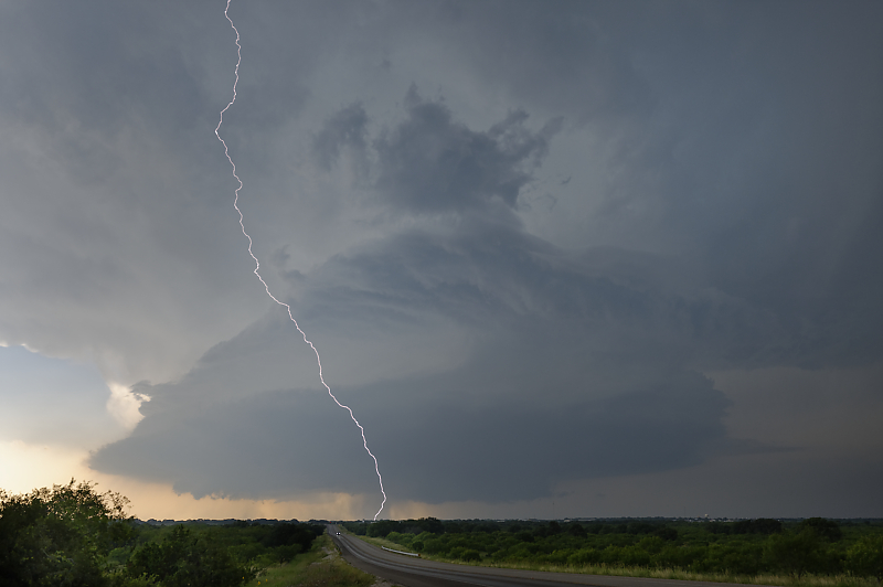
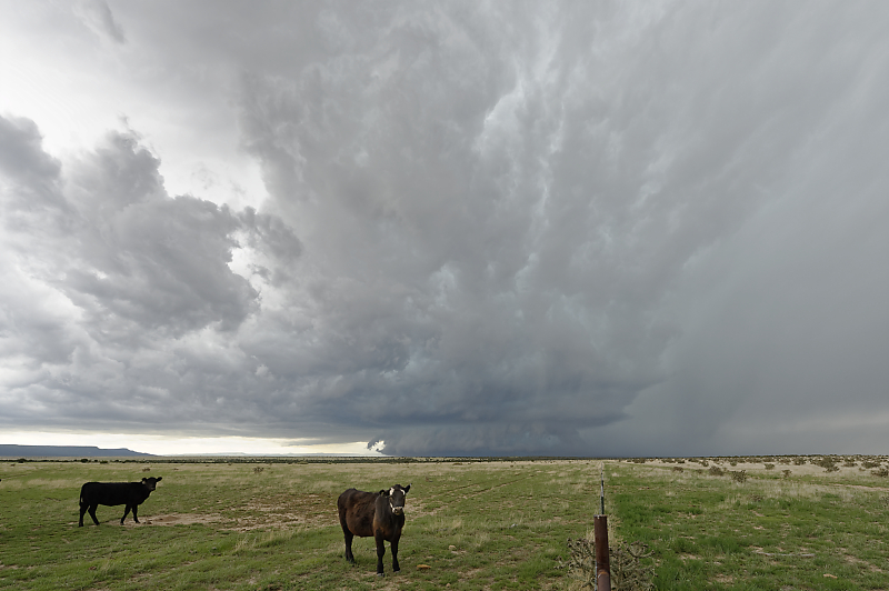
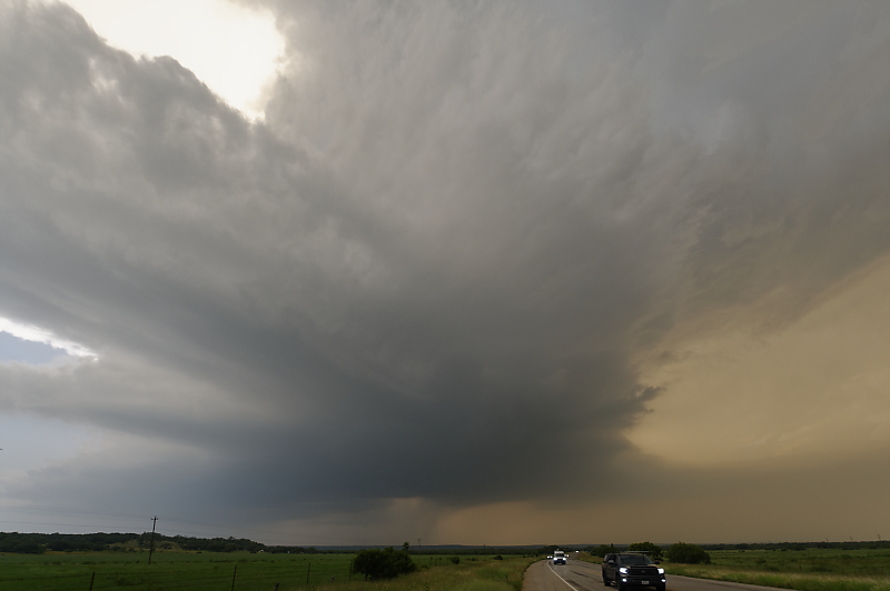
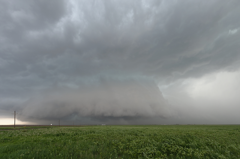
June 12: Beautiful supercell over Brady, Texas.
This intense storm has frequent CGs (cloud-to-ground lightning strikes). I'm careful to make sure there is always a much higher object near me (or stay in the car). General rule: not too close to higher object (lightning can jump sideways), but not too far away either. Think 45-degree angle from the top of a power pole. But don't do this without first researching "Lightning Safety Outdoors"!!!
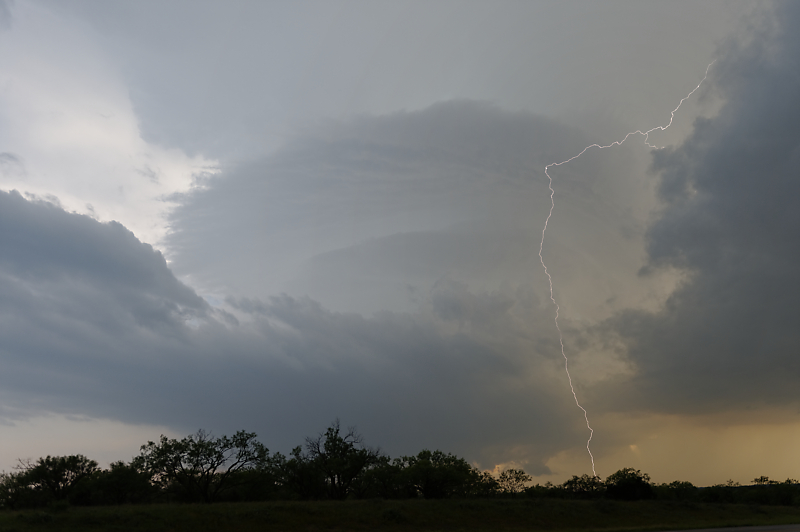
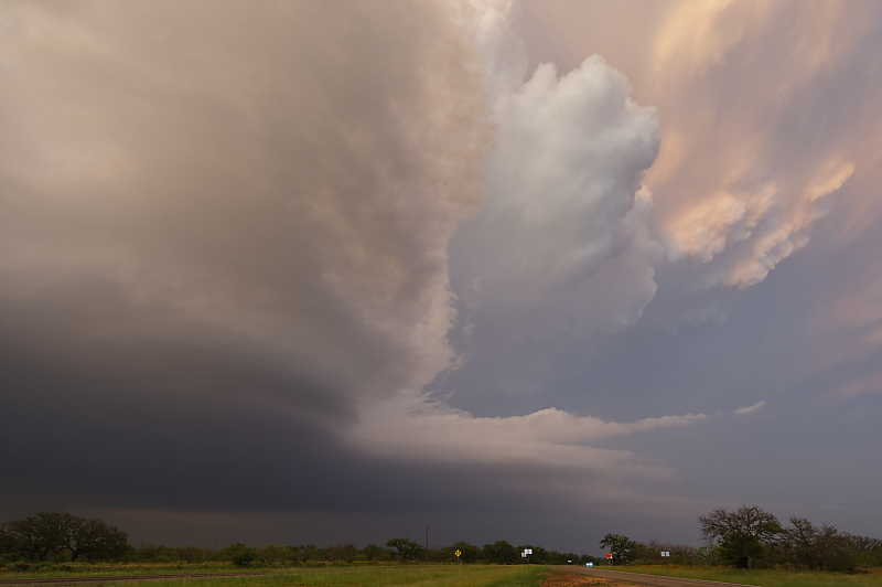
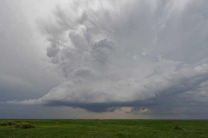
A second supercell forms southwest of Brady. Visible rotation in this intense updraft.
High CAPE and 40-knot mid-level winds are helping create these intense updrafts.
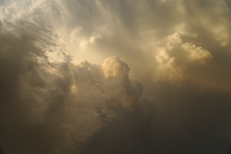
Looking straight up at sunset.
Near the town of Mason on the western edge of the Texas Hill Country.
Lightning show after dark.
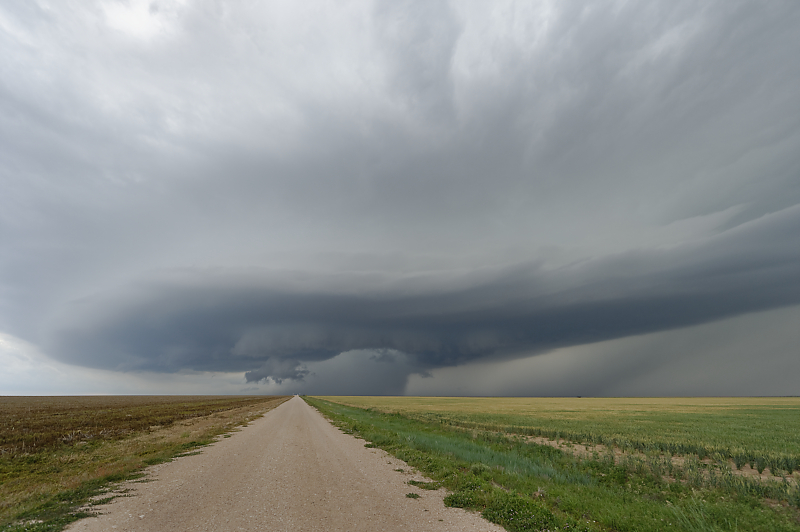
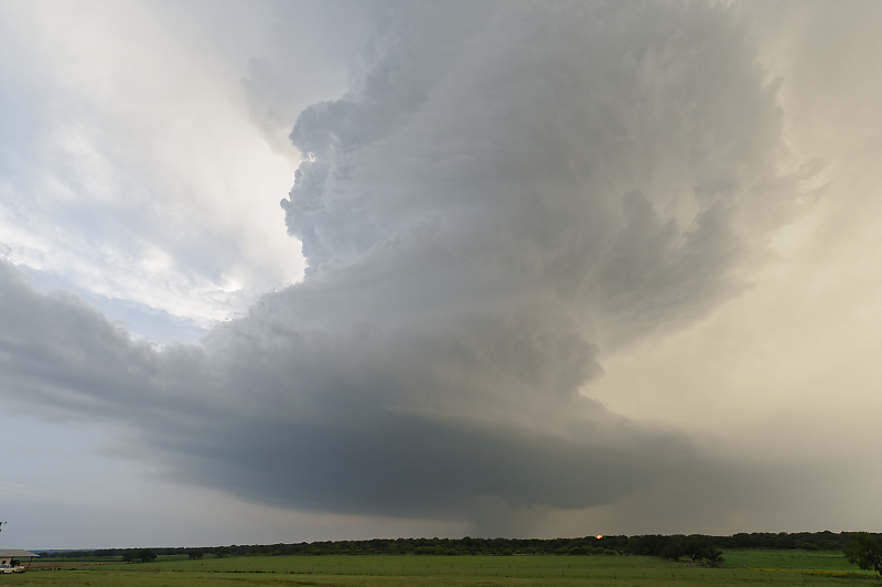
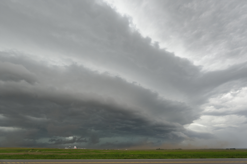
June 13: Leading edge of a supercell southeast of Stratford, Texas.
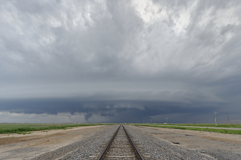
Supercell north of Sunray, Texas.
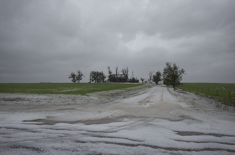
Nickel-size hail after the storm has passed.
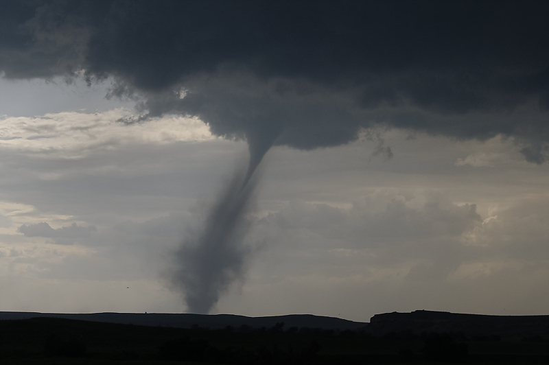
June 15: High CAPE today helps generate this tornado in the far eastern Texas Panhandle.
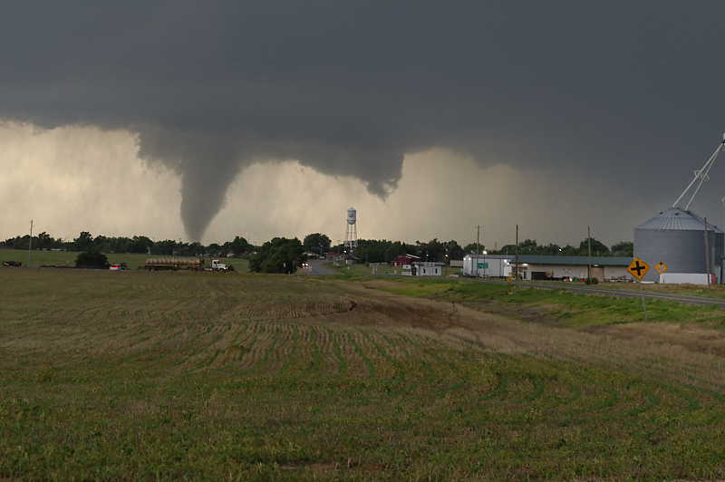
Larger tornado after the thunderstorm crosses into western Oklahoma. This view is from just east of the town of Arnett.
MCS heading southeast across Oklahoma.
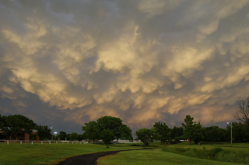
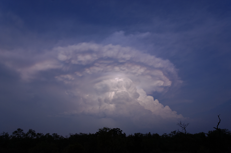
Incredible mammatus over Seiling, Oklahoma.
June 17: Last thunderstorm of my season in the western Oklahoma panhandle.
My final view of Plains thunderstorms for the spring 2023 season. More active than usual for daily (and overnight) thunderstorms, but fewer isolated, rotating supercells.