April 2023
April 2: Thunderstorm near Sherman, Texas. Enough moisture for severe storms today but not enough shear for storm rotation.
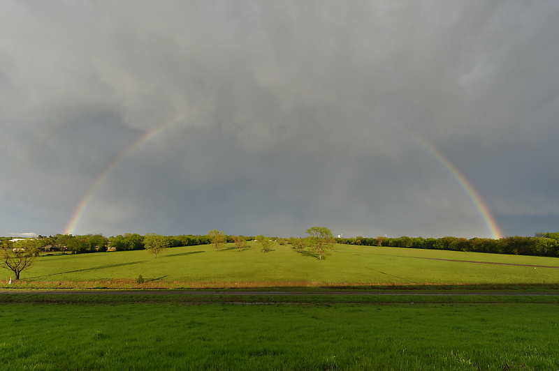
Behind the storm at sunset.
April 14: After a ten-day lull in storms, marginal conditions for today. Weak thunderstorms during the afternoon in Kansas, but then a severe storm forms at dusk north of Medicine Lodge. This view is from my campsite.
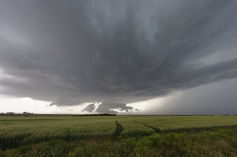
April 19: Computer models suggest rotating supercells in northeast Kansas today. I head northeast of Manahattan to intercept early evening storms.
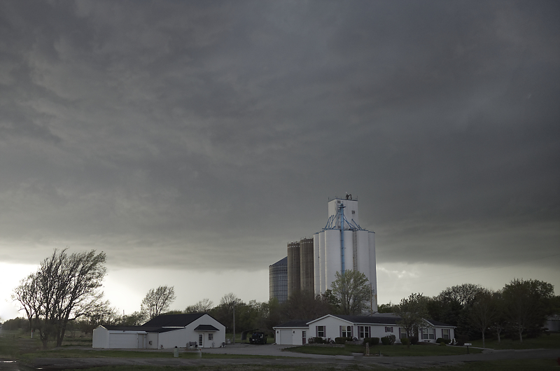
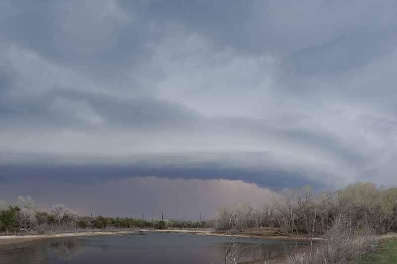
Storm over Seneca, Kansas.
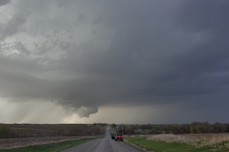
Wall cloud passes north of Seneca but the storm then weakens.
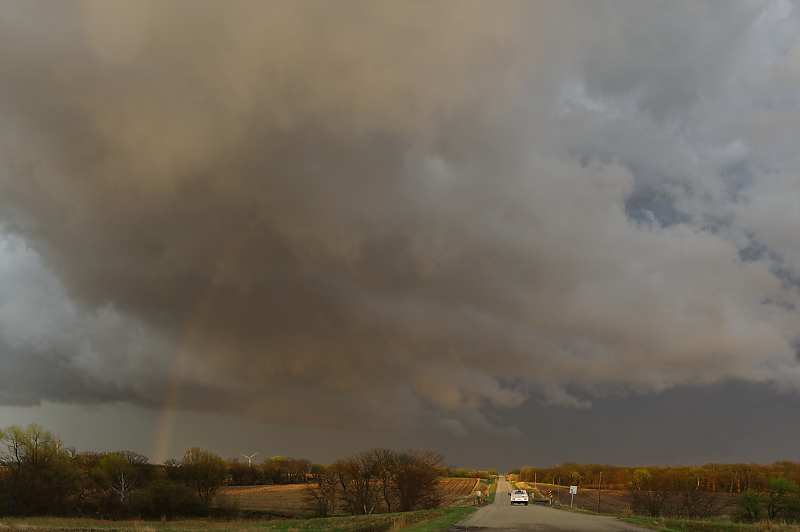
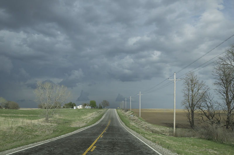
Behind a severe storm at sunset. A tornadic supercell formed much further south at dusk, west of Emporia. My target of northeast Kansas was correct, but not until late that night!
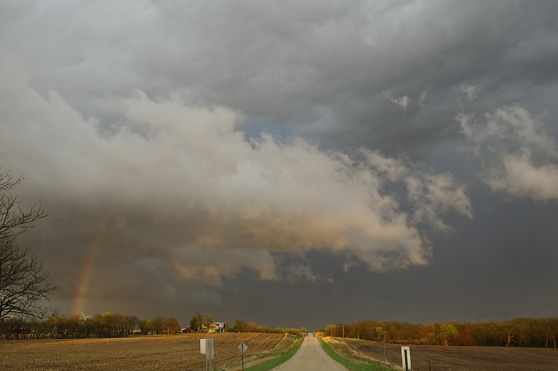
Behind a severe thunderstorm at sunset in northeast Kansas.
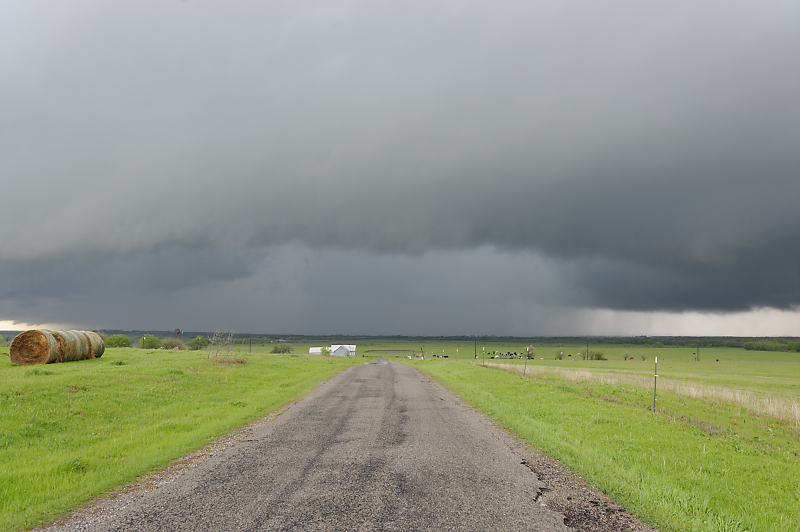
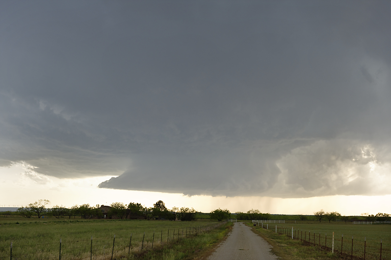
April 22: Strong thunderstorm updraft near Ballinger, Texas. Decent parameters for severe weather today, but with northwest flow at the jet stream level. Also, shear will be somewhat weak due to light surface winds.
Storm outflow approaches Doole, Texas.
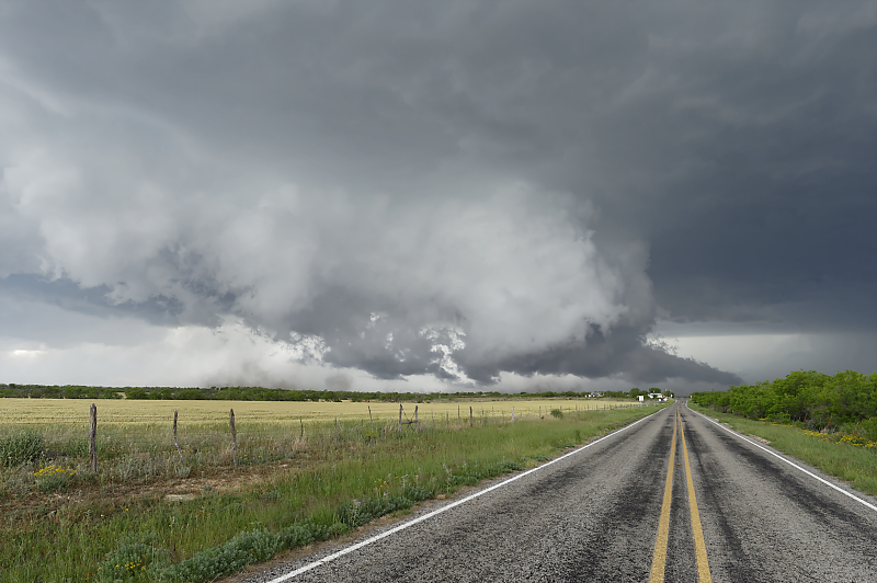
Severe thunderstorm heading southeast near Brady in central Texas.
Storm just north of the town of Pontotoc, Texas. Storms today produced hail up to the size of baseballs.
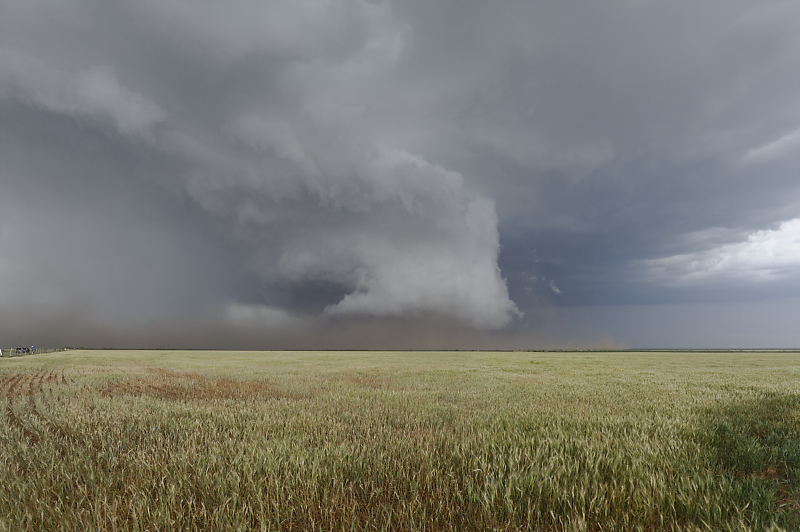
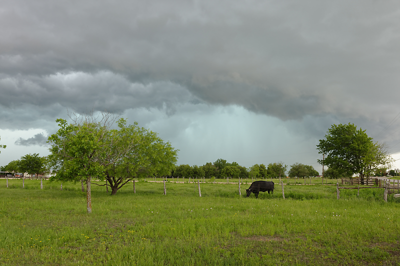
April 25: Lone thunderstorm forming in southwest Texas near the town of Snyder. Hot and humid today, but with minimal shear.
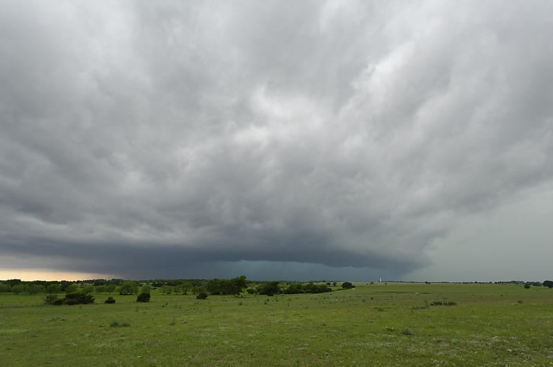
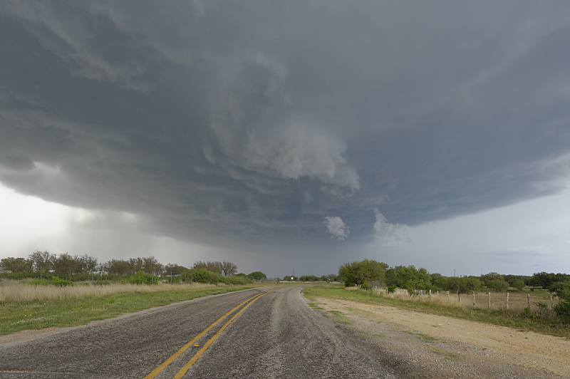
April 28: Storm near Gatesville in central Texas. Intense core of rain and hail, but no signs of rotation.
Watching the storm pass to my east near Heidenheimer, Texas.