May 28: Texas Panhandle Squall Line
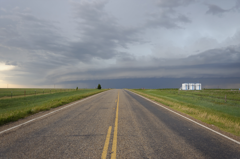
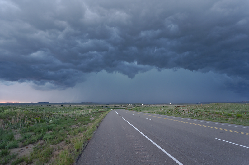
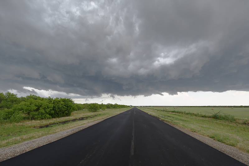
Back in the Texas Panhandle, I intercept a squall line. This is looking west on Highway 281, just east of Highway 70.
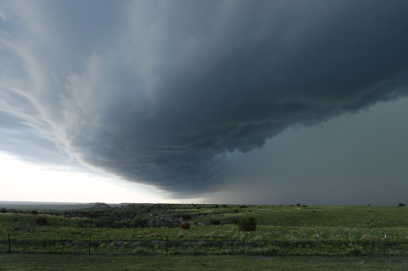
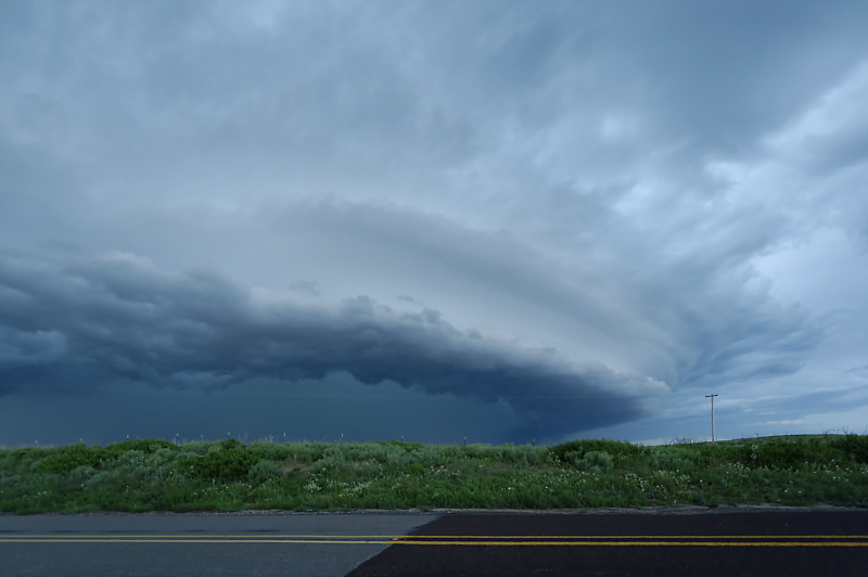
I turn south on Highway 70 and quickly encounter this fantastic view under a slow-moving shelf cloud. This is looking west.
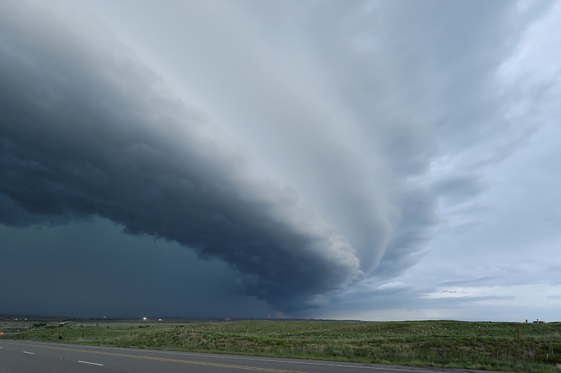
Same storm a few minutes later, looking east. Only a handful of other storm chasers are watching this storm.
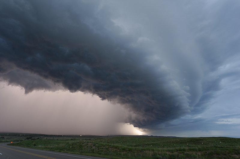
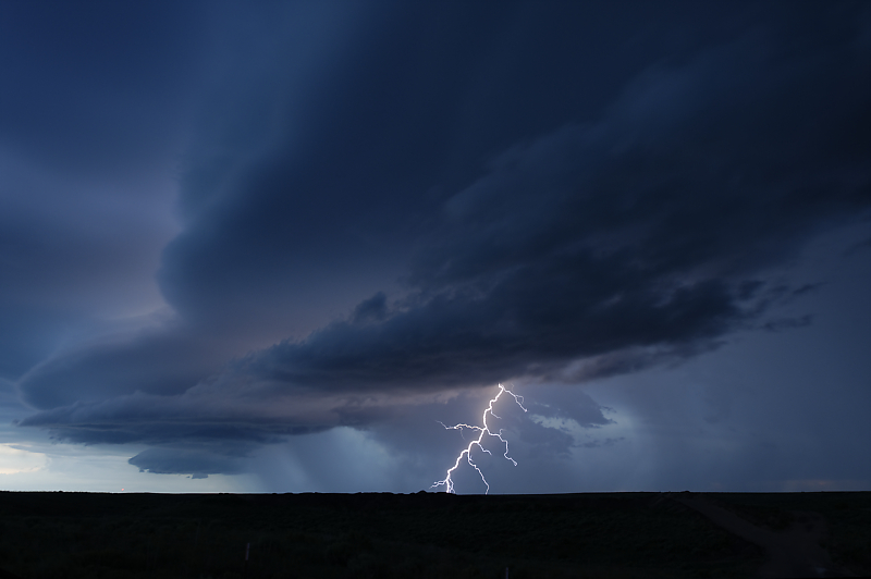
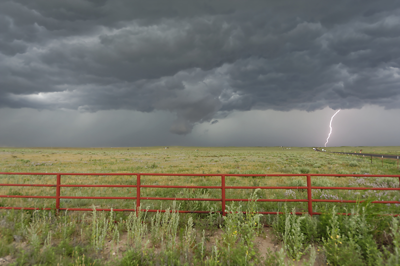
Lightning illuminates the rain core.
I drive south on Highway 70 to get ahead of the storm. This is the view looking back north.
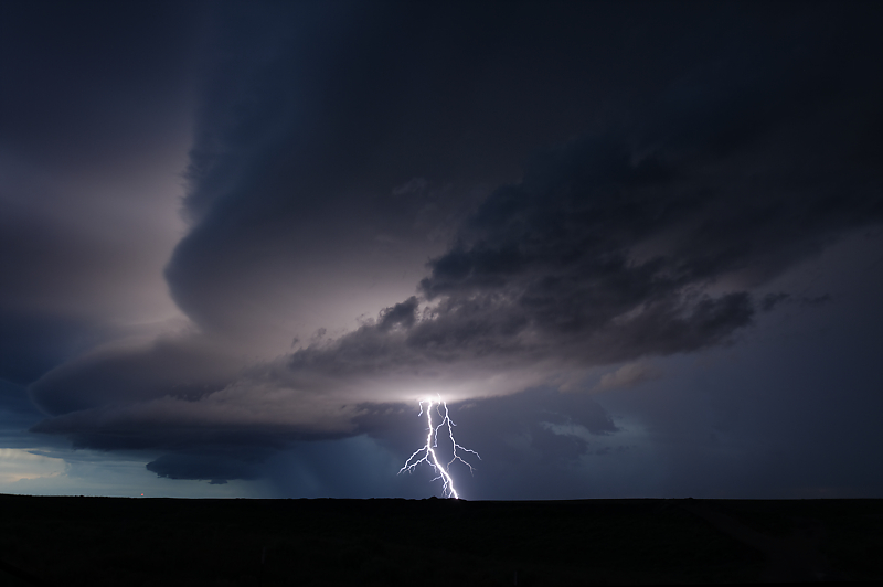
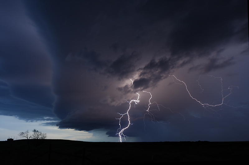
More incredible views after sunset.
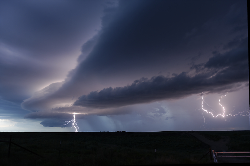
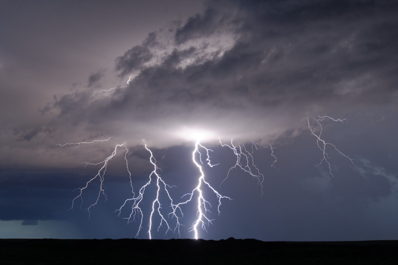
I find a good spot to enjoy a lightning show. Frequent CGs make this an easy-to-photograph storm.
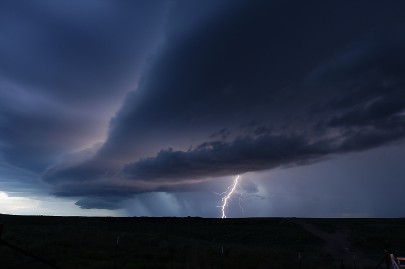
I see dozens of lightning bolts from this vantage point.
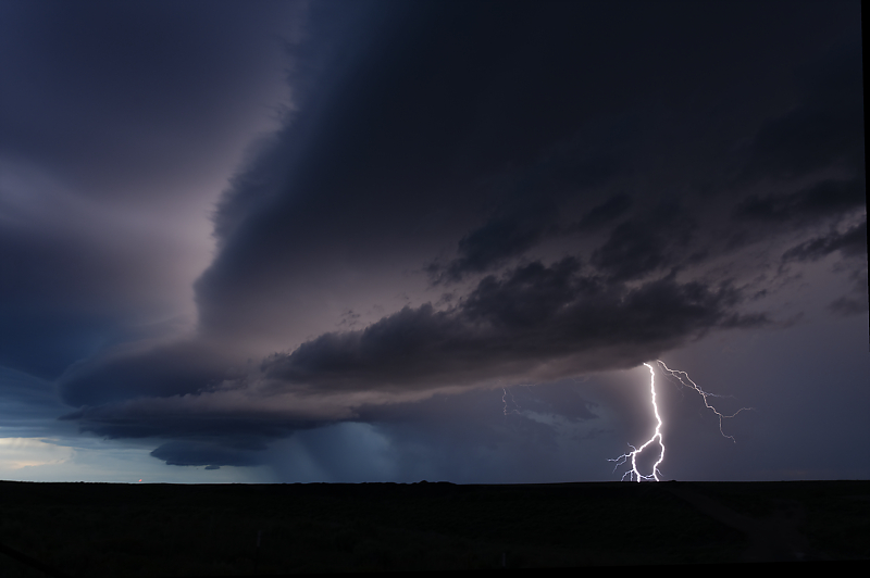
Each bolt is sudden and unique.
I've seen highly electrified storms before, but never one moving this slowly, and after dark, and with a good, safe view point well off the highway.
Technical notes: Nikon D700 with f/2.8 24-70 zoom lens on a high-quality tripod (i.e. very sturdy with a full-motion swivel head), ISO 200 (native to the D700), aperature priority, f/5.6, exposure compensation at -2.0. But the real trick is to close the shutter after any nearby CG lightning strike, which avoids overexposure.
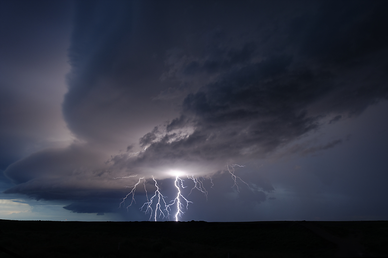
Best of the series. These strikes occur nearly simultaneously.
Cropped view of the prior photo.
New storm tower develops.
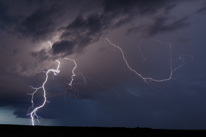
Another cropped view. Low expectations for today, but it turns out to be an all-time favorite chase. Also, no chase crowds, just three or four other chaser vehicles.
June 2: Another Texas Panhandle Squall Line
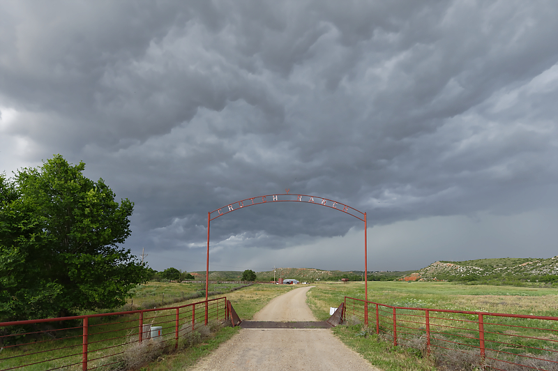
Upper low moving east from New Mexico triggers widespread storms in the Texas Panhandle. I intercept this thunderstorm near Borger.
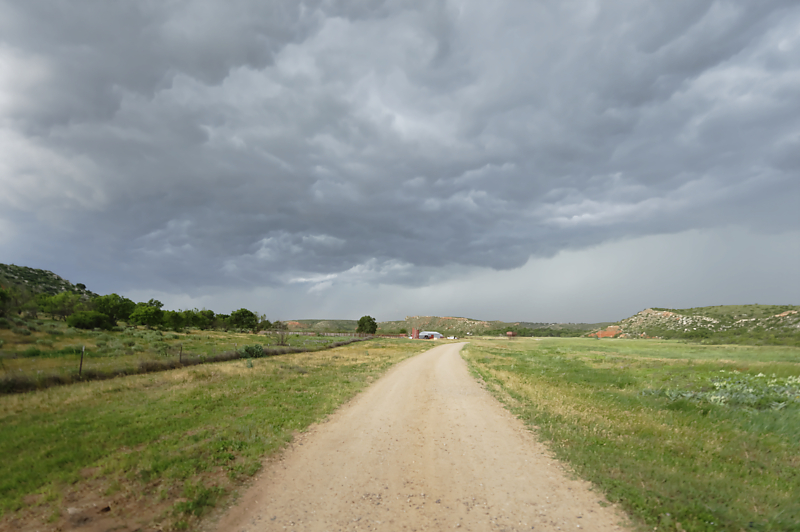
Scenic cattle ranch in the path of a developing squall line.
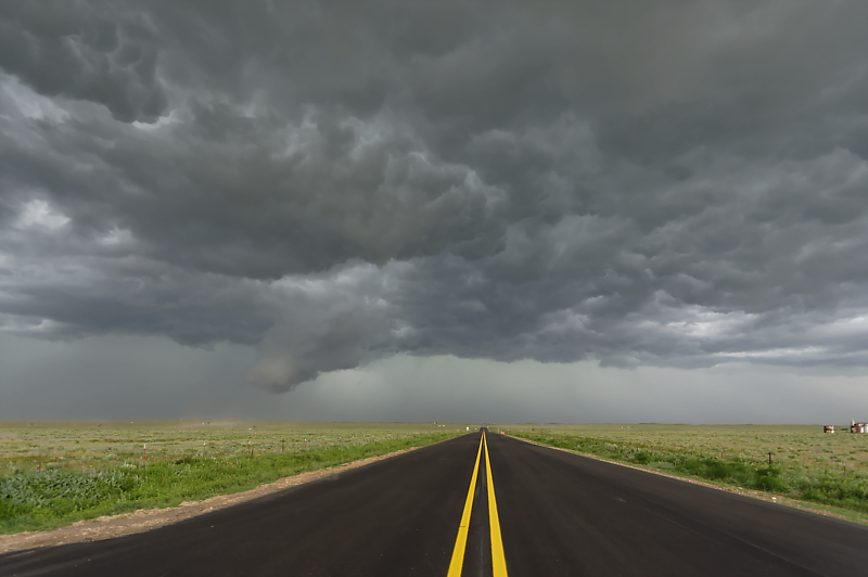
Looking northwest along Highway 152.
Final view before I head east to stay ahead of the storm. But a construction stop allows the storm to overrun me in Pampa. Fortunately, no large hail, but I did learn that Texas highway construction workers don't take a break for marginally severe thunderstorms!
June 3: Southwest Oklahoma Squall Line
Little shear today with lots of heat and humidity. This will cause the storms to quickly become linear as rain-cooled outflow merges. I intercept this developing thunderstorm near Altus, Oklahoma.
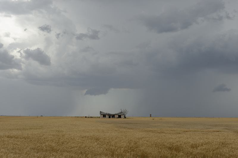
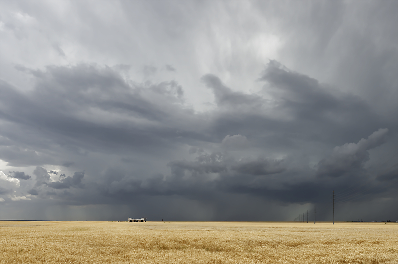
One of the many wheat fields across southwest Oklahoma.
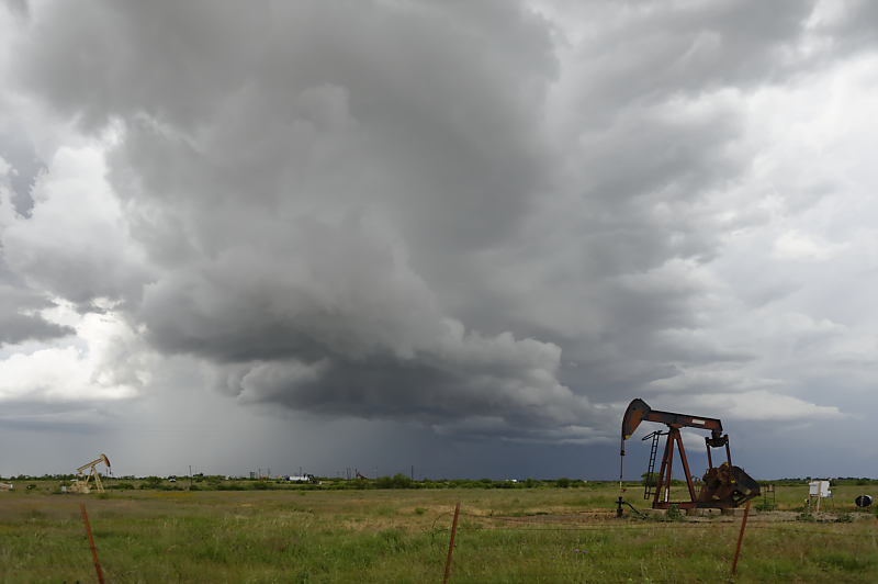
I cross the Red River to stay ahead of the storm.
Underneath a slowly moving outflow boundary near Mankins, Texas.