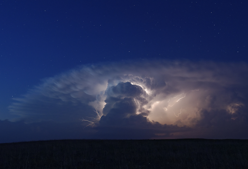
May 20: Northwest Texas Supercell
Intercept of a supercell in north Texas at sunset. This is after abandoning a tornadic supercell due to a massive crowd of storm chasers, locals and yahoos. Instead, I enjoyed this storm with only a handful of chasers around me.
A barrage of CGs soon chased me from this position.
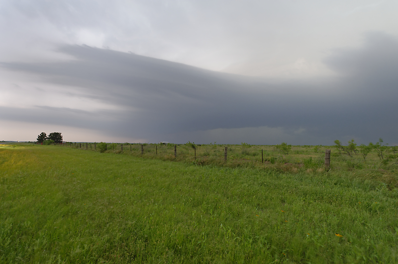
May 22: Central Oklahoma Storm
Oklahoma farm country.
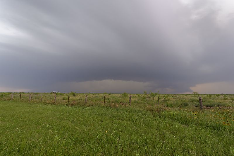
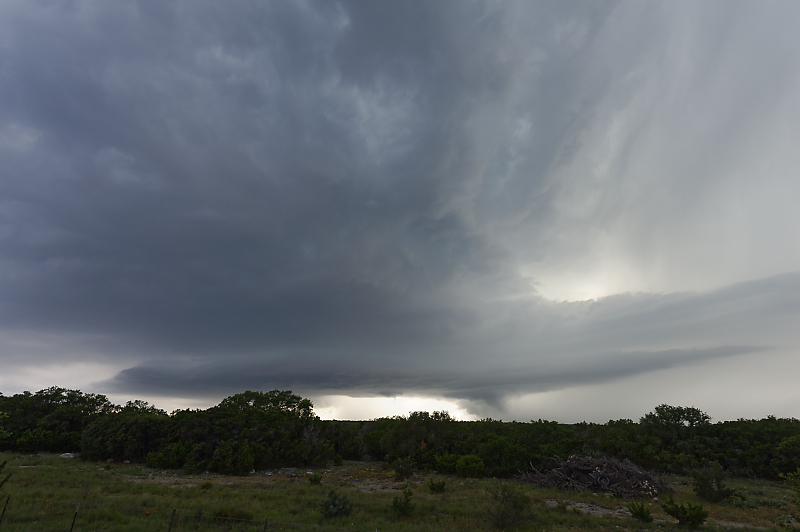
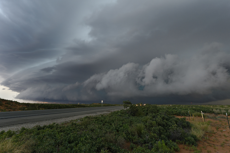
May 26: Oklahoma Panhandle Squall Line
Storm just south of Black Mesa State Park in the far western Oklahoma Panhandle.
May 27: Kansas Thunderstorm
Kansas thunderstorm after dark.
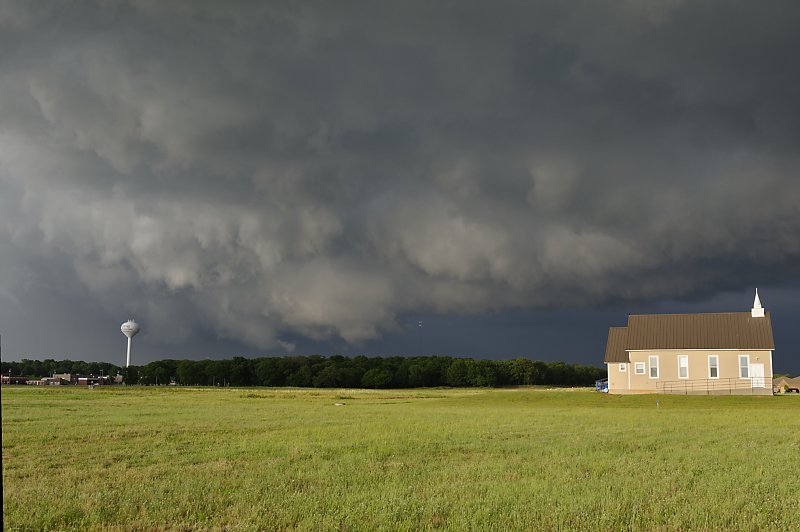
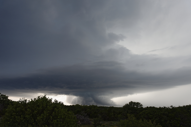
May 28: Central Oklahoma Storm
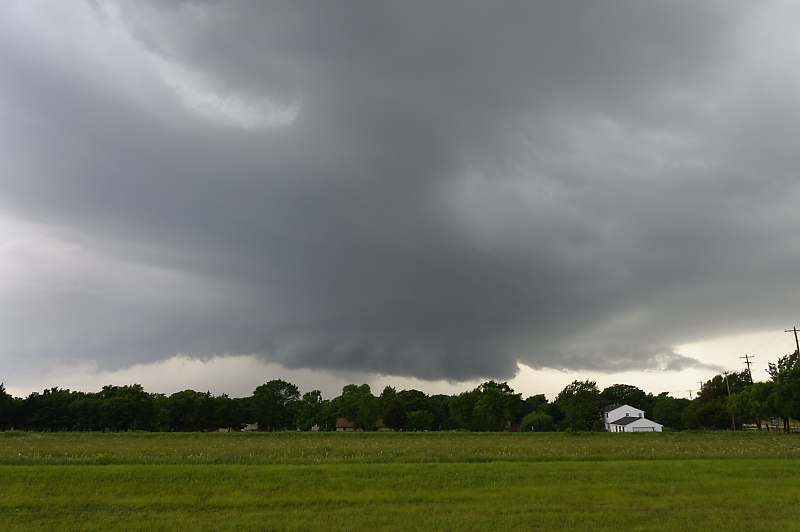
Wall cloud passes over Guthrie, Oklahoma.
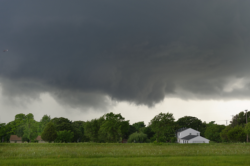
Closer view.
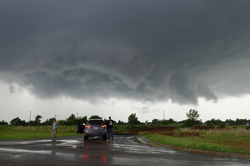
The storm was being circled by two helicopters from OKC television stations.
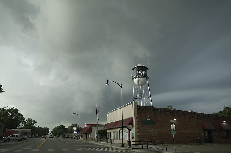
Southern edge of the storm over the town of Perkins.
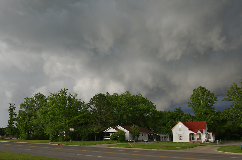
Behind the storm.
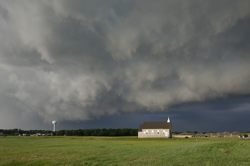
Great view at sunset.
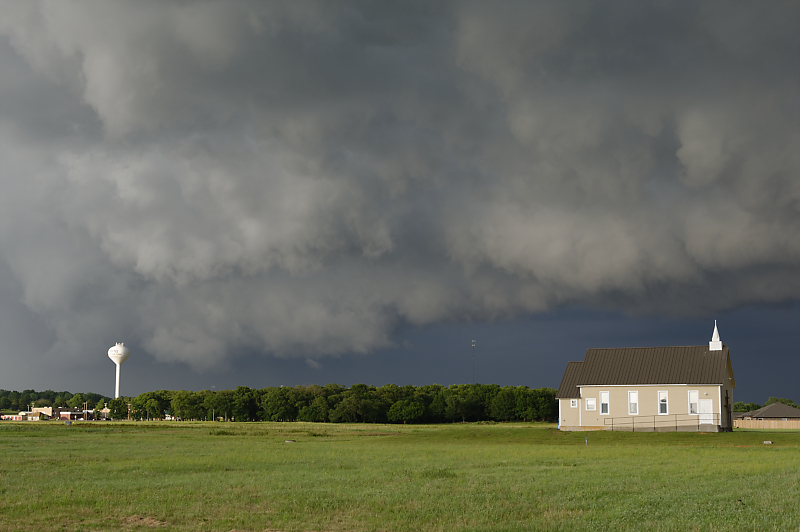
At sunset, I usually let a storm get ahead of me, especially in areas with hills and trees.
In this case, I was able to enjoy the spectacular beauty of a severe thunderstorm in rural America.
May 30: Southwest Texas Storm
Southwest Texas thunderstorm, a little south of Sonora.
Interesting lowering as the storm changes into outflow-dominance.
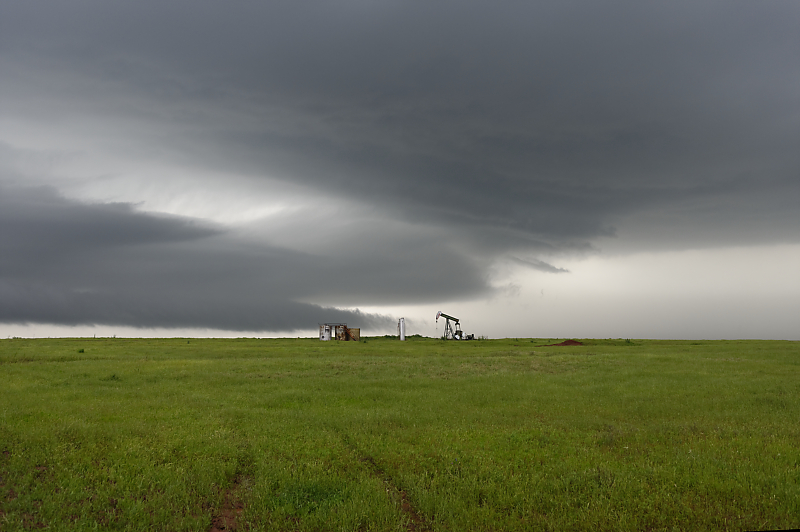
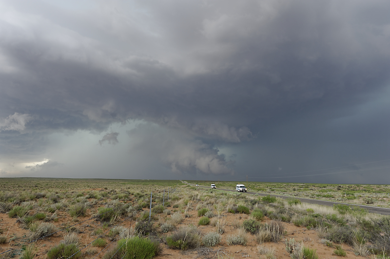
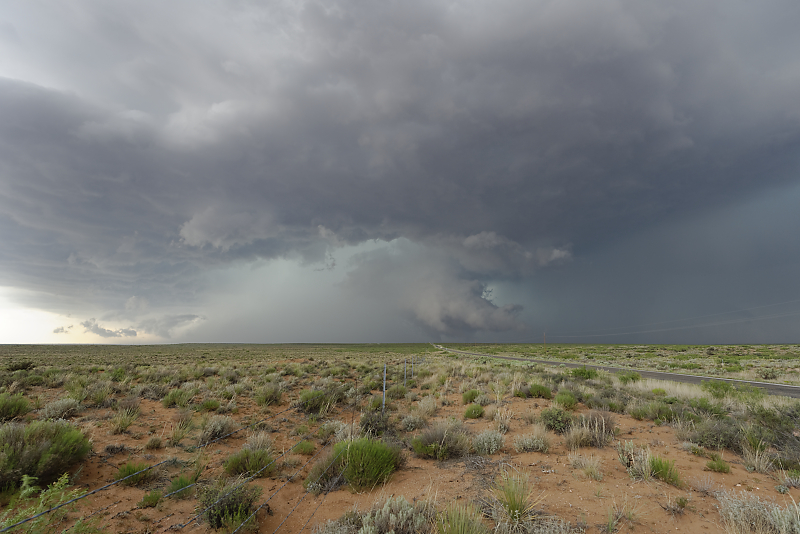
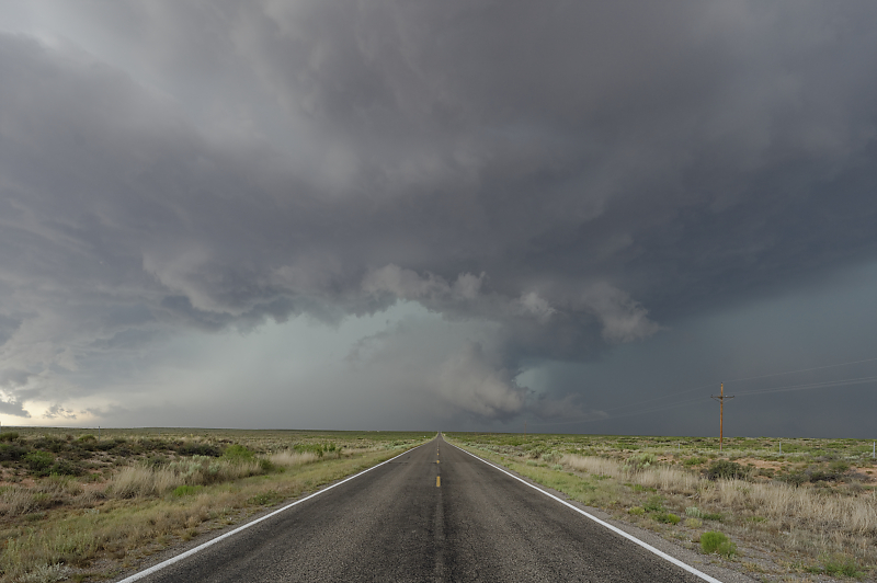
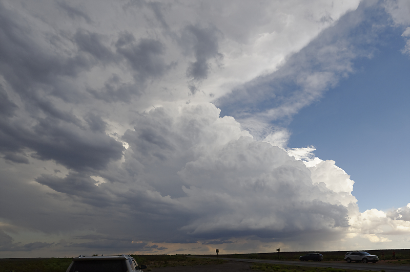
June 2: Southeast New Mexico Supercells
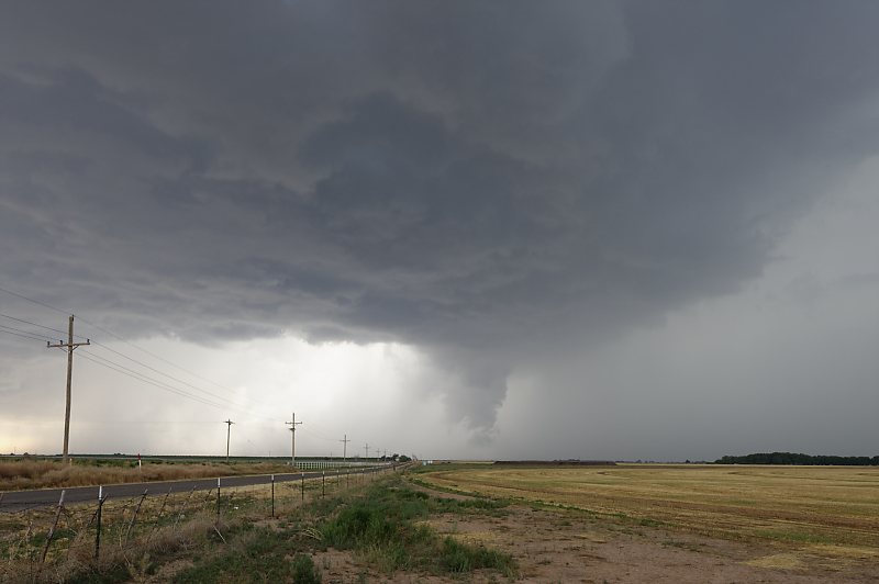
Storm intercept just south of Roswell, New Mexico.
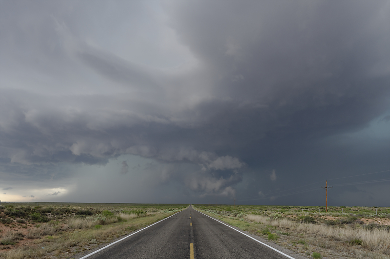
Plains-quality supercell is due to unusually high dewpoints for this far west.
Only a handful of storm chasers, a welcome relief from the hoards you typically find on isolated supercells.
Sparse road system, but fortunately the storm is headed east-southeast right along Highway 249.
Very scenic storm.
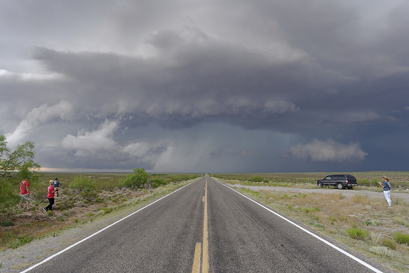
Nothing better than chasing a storm where the highway is completely empty.
New cell develops to my southeast, cutting off the escape route. I decide to drive through it before it intensifies too much, and encounter 40 mph winds and small hail.
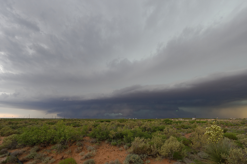
Another supercell develops out west, an easy intercept on Highway 82 between Hobbs and Artesia.
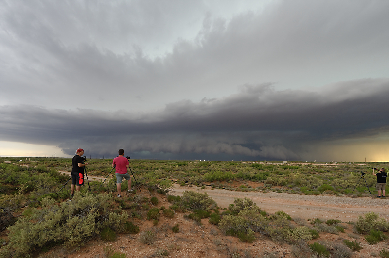
Another surprisingly classical HP Supercell for the High Plains of eastern New Mexico.
Not much mid-level shear today, so tornado potential is low.
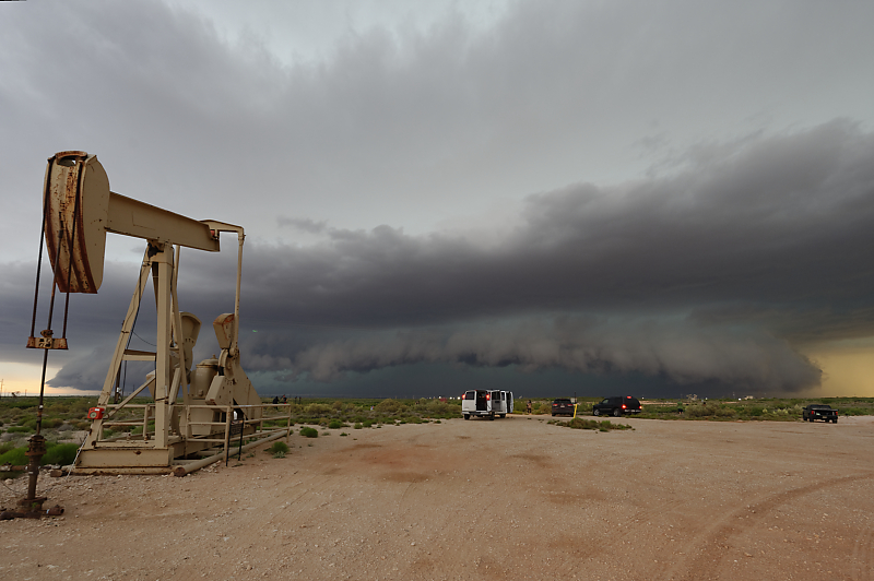
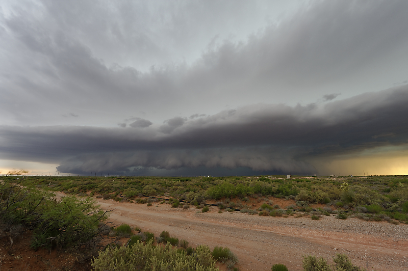
Perminian Basin supercells are always a unusual sight.

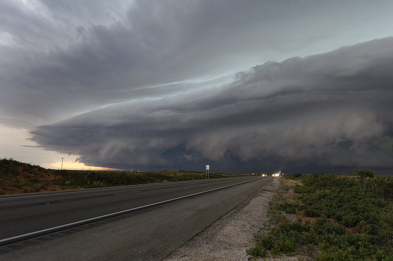
Shelf cloud develops at sunset.
Looking southwest.
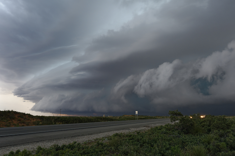
Beautiful shelf cloud.
Last storm of my 2019 chase season.