June 10: More Central Montana Supercells
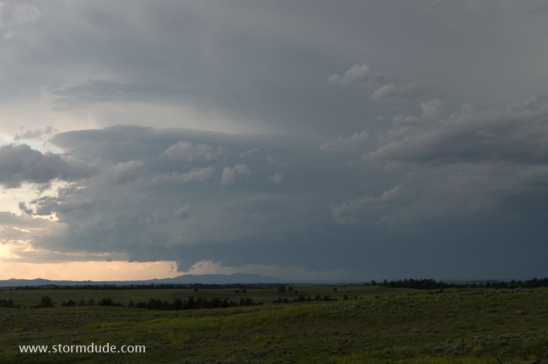
Another active day for storms as the jet stream pushes across central Montana.
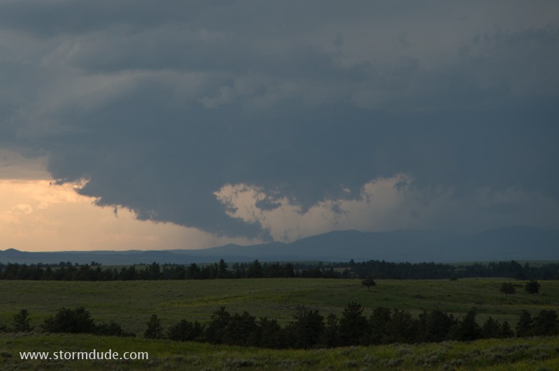
Wall cloud forms under main storm upddraft near Suffolk, Montana.
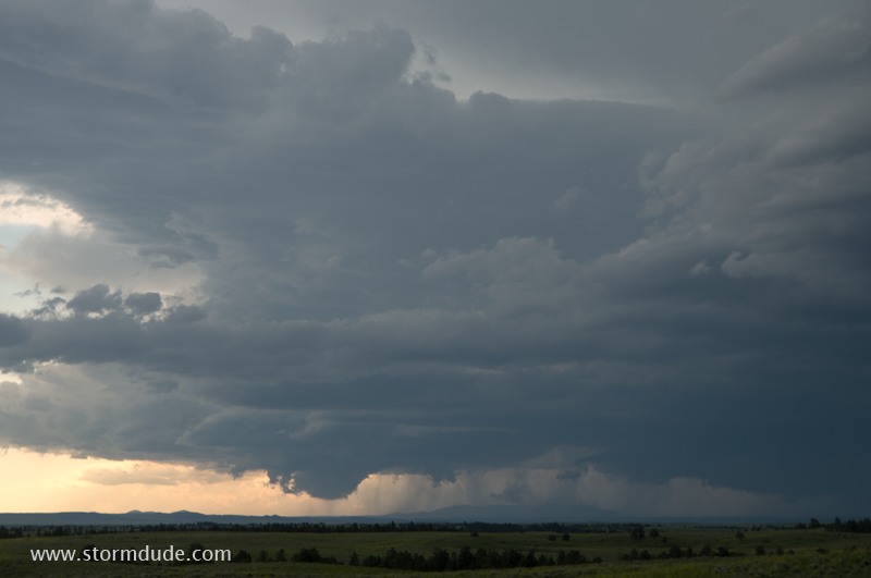
Storm moves east across grazing land.
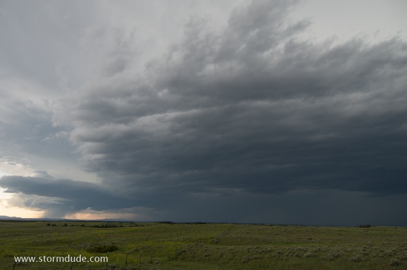
Wide-angle view of storm.
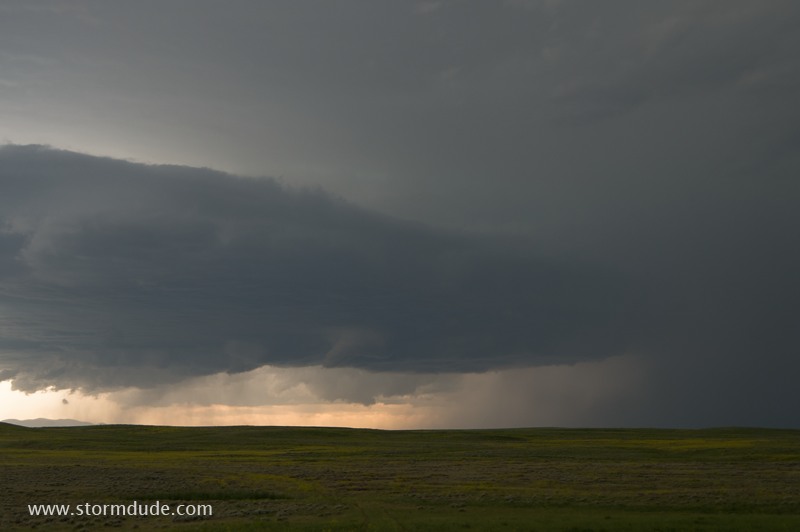
Funnel cloud forms under updraft.
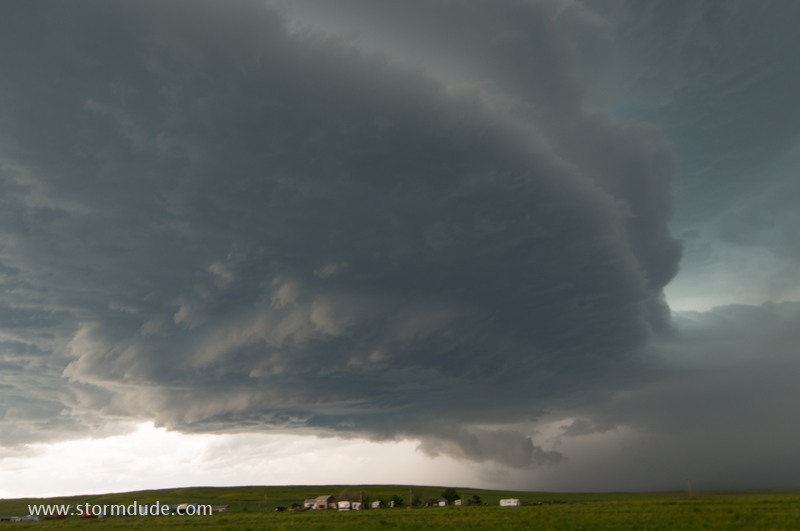
Storm turns east-southeast and I head south on Highway 191 to get south of it.
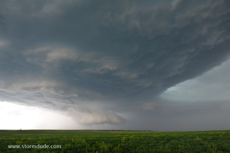
Ragged updraft at leading edge of storm.
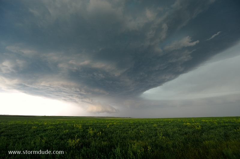
Wide-angle view.
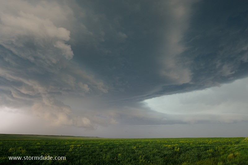
Another spectacular high-plains supercell.
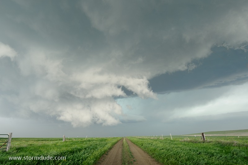
Powerful RFD sweeps through.
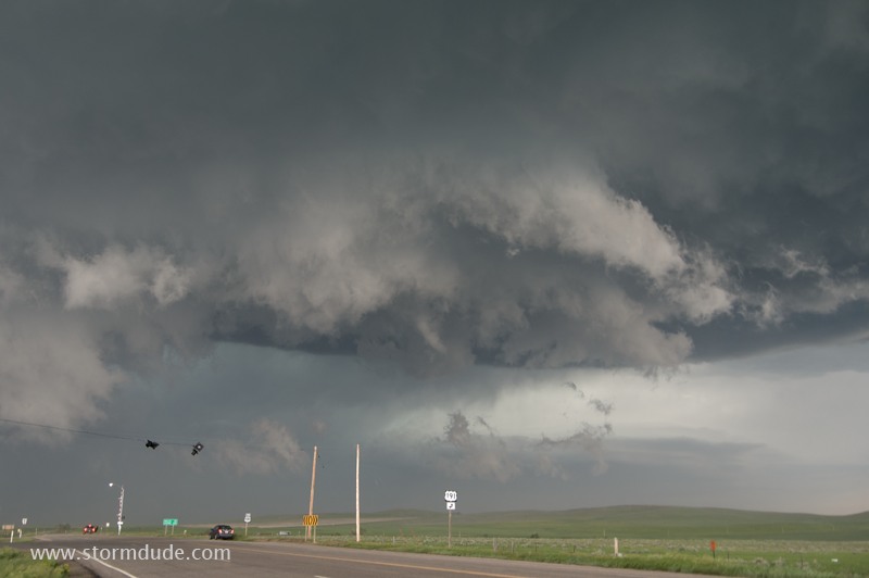
Ragged clouds associated with rear-flank downdraft.
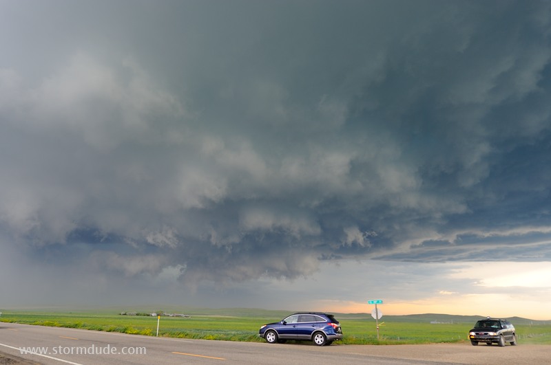
This looks nasty but 50 mph winds is the only threat.
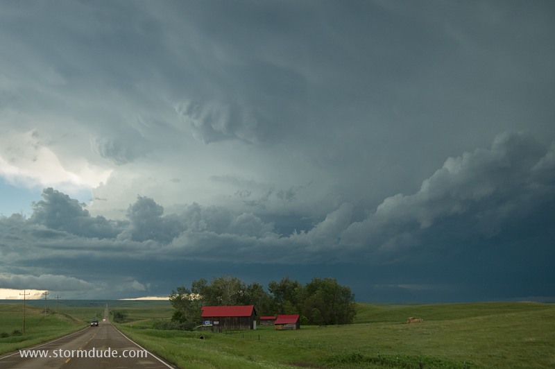
New storm develops back to the west.
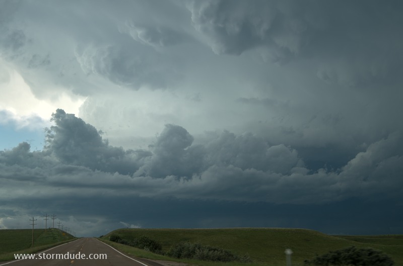
Impressive appearance of a Great Plains supercell.
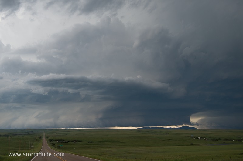
Shelf cloud approaches rapidly from the west.
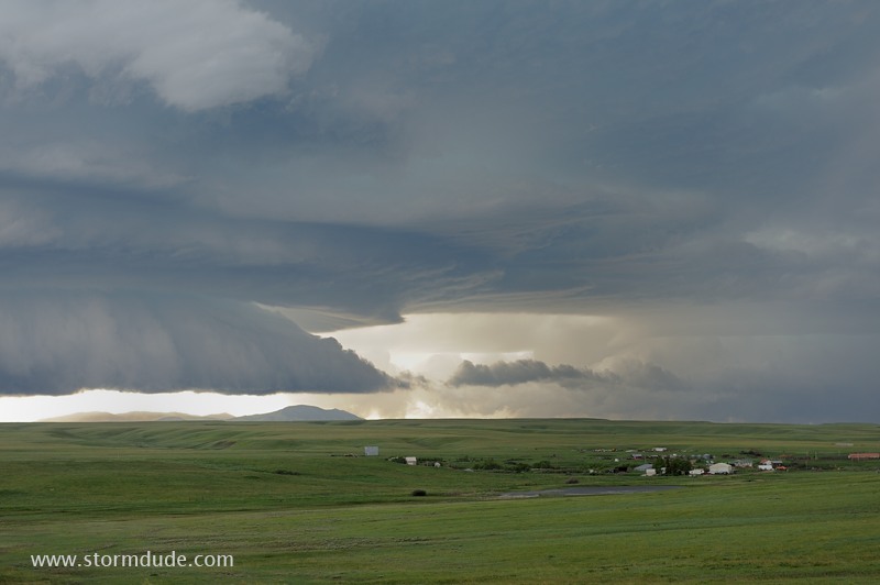
North end of storm over a Montana cattle ranch. When I explain to people my hobby of storm photography over the Great Plains, this type of scene is what I have in mind.
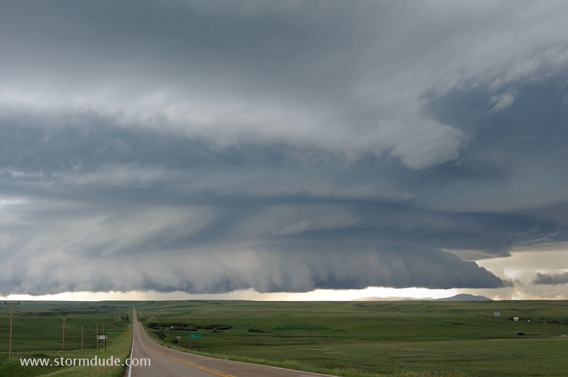
Shelf cloud crossing Highway 191 northwest of Hilger.
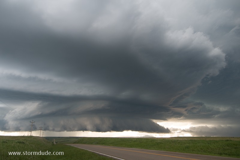
Large hail is the only threat from this outflow-dominated storm.
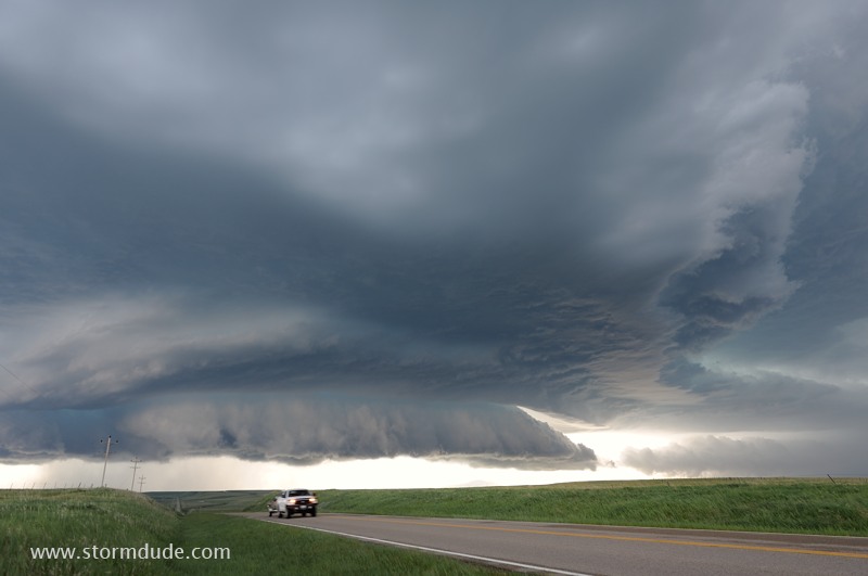
Beautiful sculpted structure.
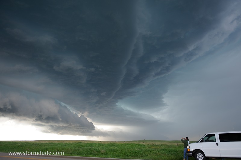
Enjoying the dramatic clouds.
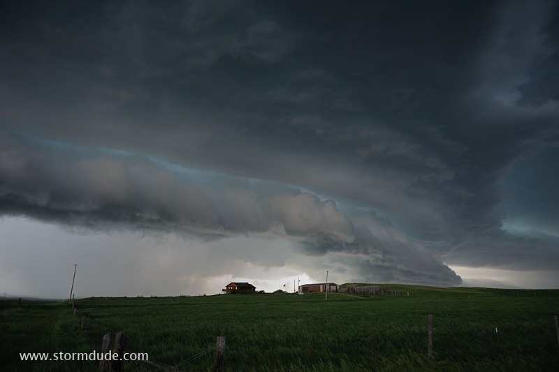
Too bad we don't get thunderstorms like this in Southern California.
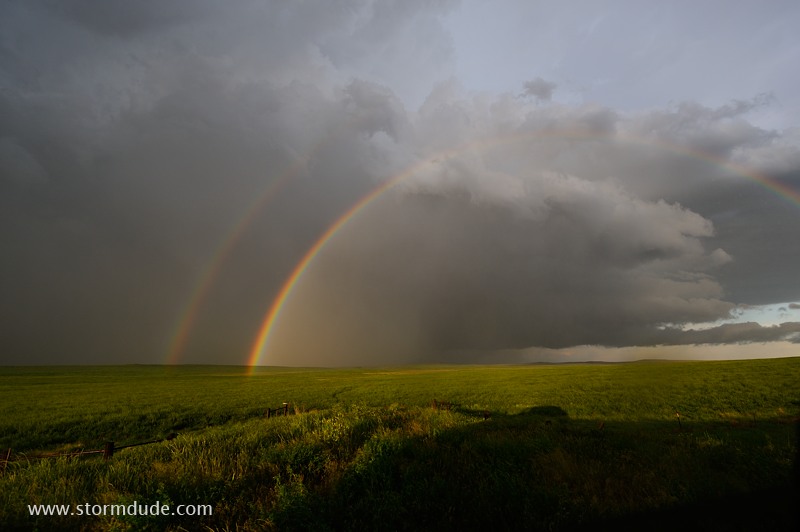
After the storm has passed, a double rainbow appears over a wheat field.
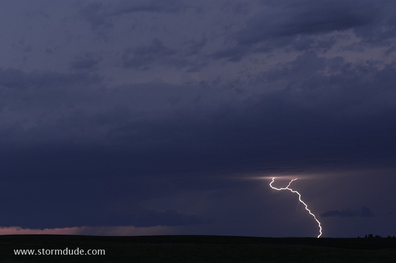
Later that evening, I watch the last storm of the season. A very good year during which I avoided chase crowds and still saw many supercells and tornadoes.