March 31: Northwest Oklahoma Thunderstorms
Early spring afternoon in northwest Oklahoma.
New towers at dusk.
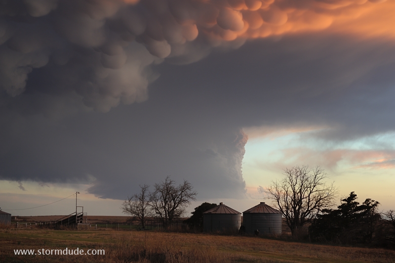
On marginally severe storms, I've often found better photo opportunities on the backside as the sun drops to the horizon.
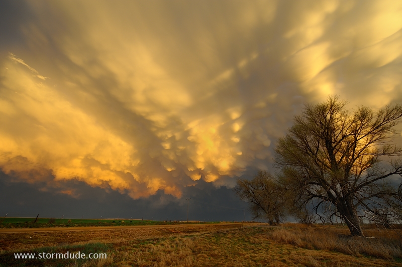
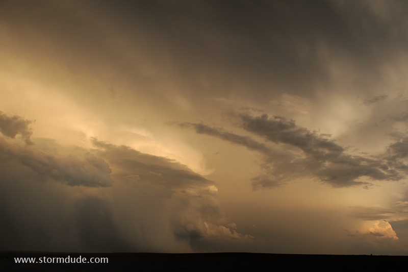
Fantastic mammatus show.
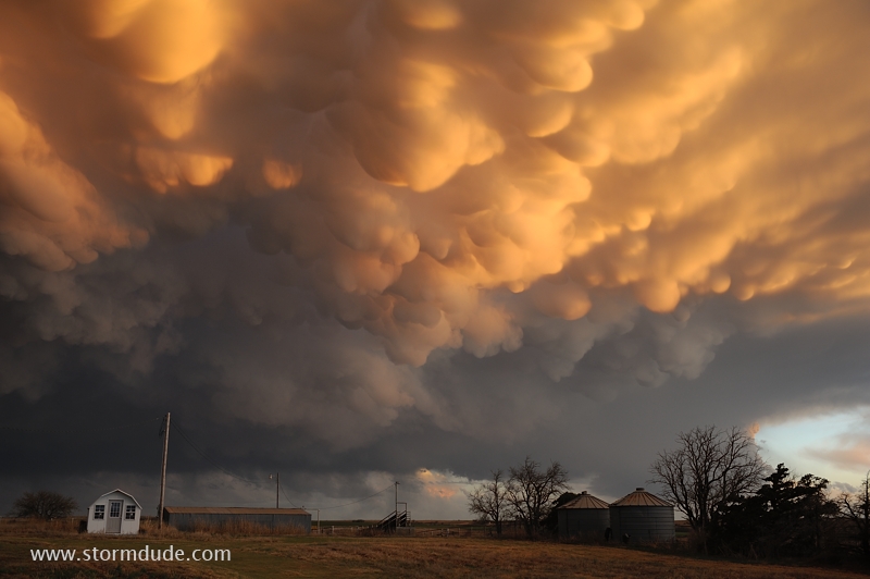
If you've never seen mammatus like these in person, a scene like this appears Photoshopped.
Mammatus at sunset, with a cumulus tower in the background. Great way to start the season!
April 7: Southeast Kansas Convection
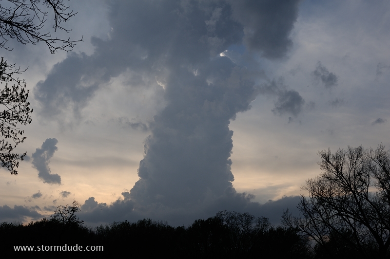
Lone cumulus tower goes up at sunset in southeast Kansas. This evolves into a tornadic thunderstorm after dark.
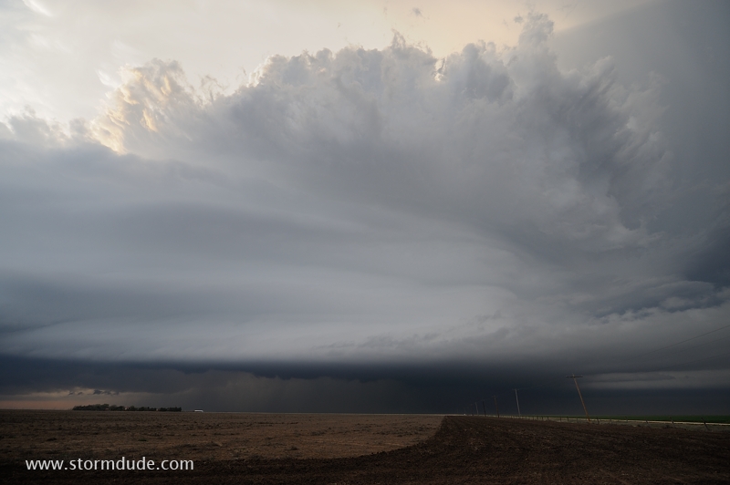
April 8: Northern Oklahoma Supercell
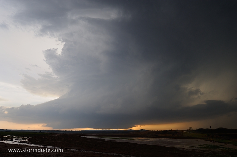
Beautiful storm southwest of Medicine Lodge, Kansas.
April 11: Texas Panhandle Supercell
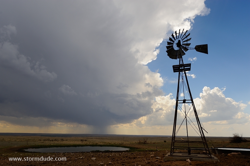
Thundershower develops near the ranching town of Channing in the western Texas Panhandle.
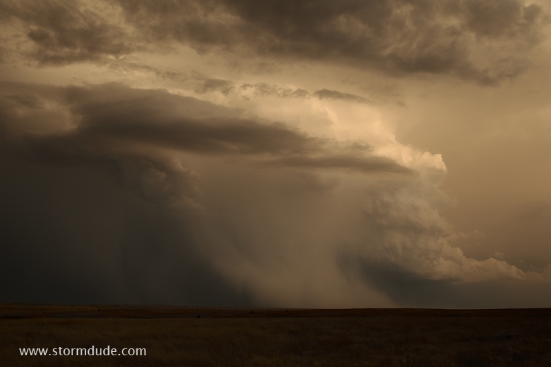
View of supercell from a remote farm road between Skellytown and White Deer, northeast of Amarillo.
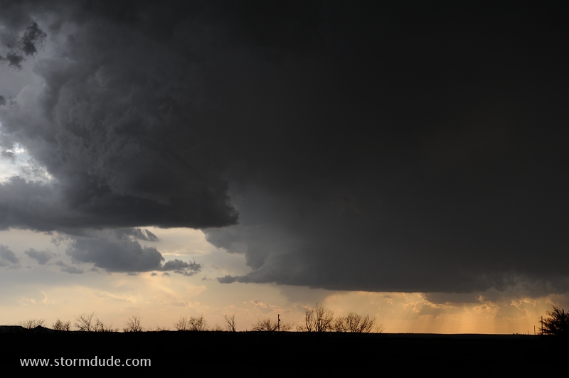
Dramatic structure of a high-based storm.
Right-front flank of the storm as sunset approached.
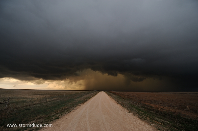
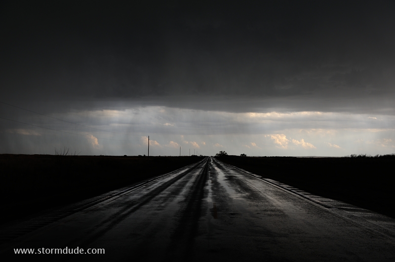
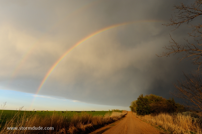
Farm road in the cattle-grazing land of the Texas Panhandle.
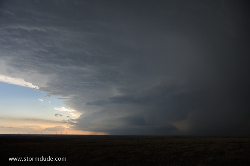
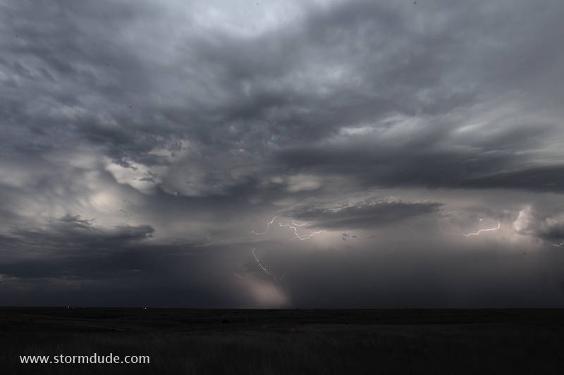
April 12: Northern Oklahoma Storm
North of Woodward, Oklahoma, I find great views of the backside of a squall line.
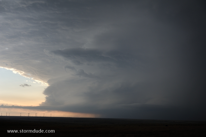
As evening light fades, a cloudburst with a rain foot spreads out from the storm.
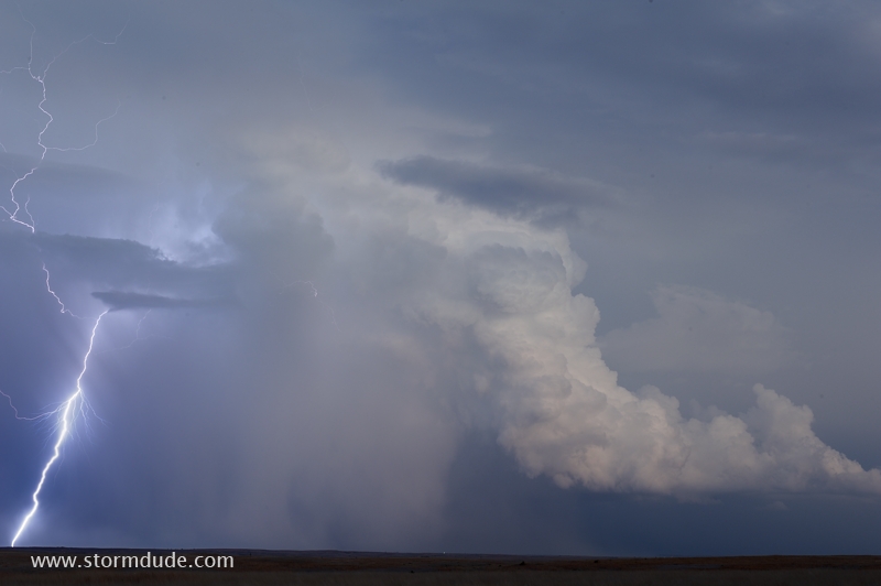
The storm is highly electrified.
After-dark scene as the storm moves away. Staying behind a squall line once again provides good photo opportunities.