June 6: Denver Area Supercell
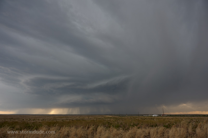
Severe thunderstorm develops fifteen miles southeast of the Denver metro area.
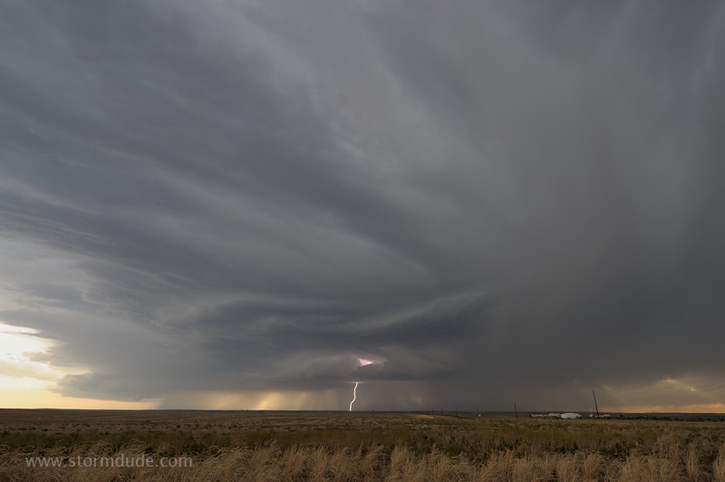
Beautiful structure on a high-based storm. (The wide-angle lens helps create an artistic look to this scene, but despite the surreal appearance, this photo is not digitally enhanced!)
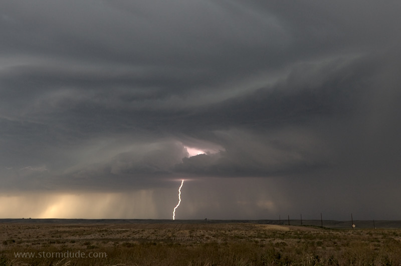
Close crop of the lightning bolt.
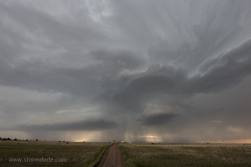
Eerie view on the high plains.
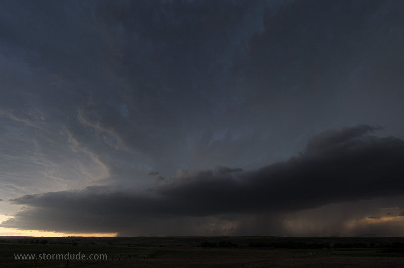
I finally reach the southern end of the storm, though a little late to see a brief tornado.
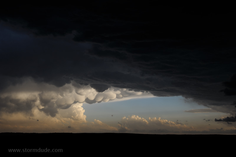
Some of the most spectacular mammatus I've seen.
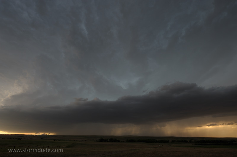
A very picturesque storm.
June 7: Eastern Colorado Supercell
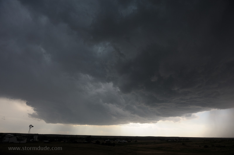
Another day with a severe storm on the high plains east of Denver.
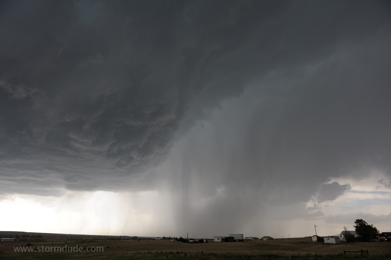
Near the town of Deer Trail.
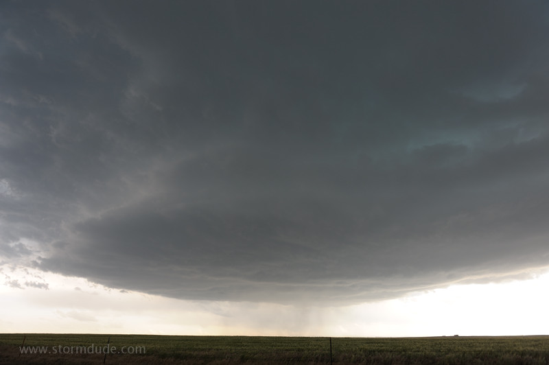
New updraft strengthens to my southwest.
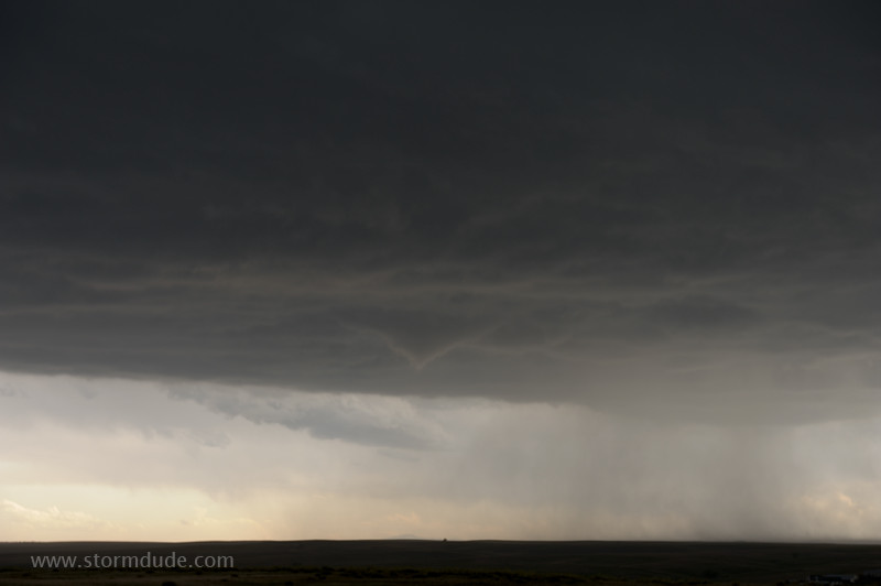
Funnel cloud lowers.
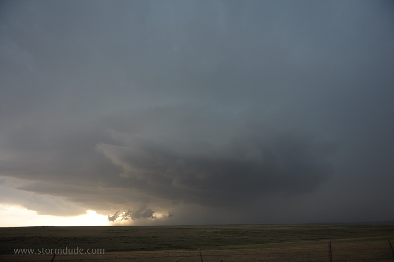
The storm quickly intensifies and begins moving due south.
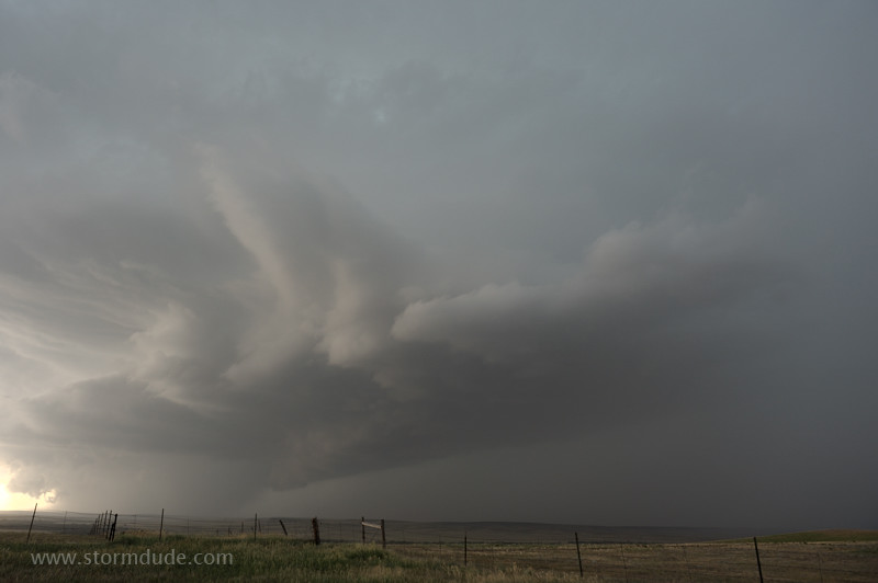
Another sculpted high-based thunderstorm over the plains of eastern Colorado.
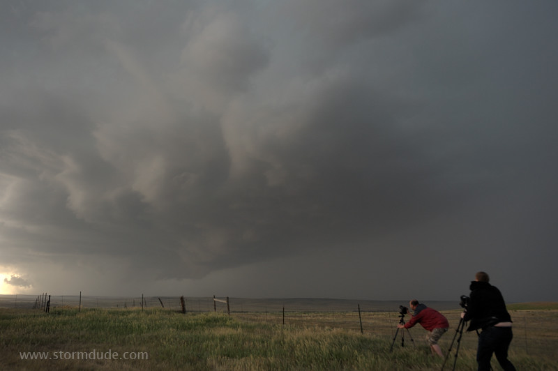
Storm chasers enjoying the display.
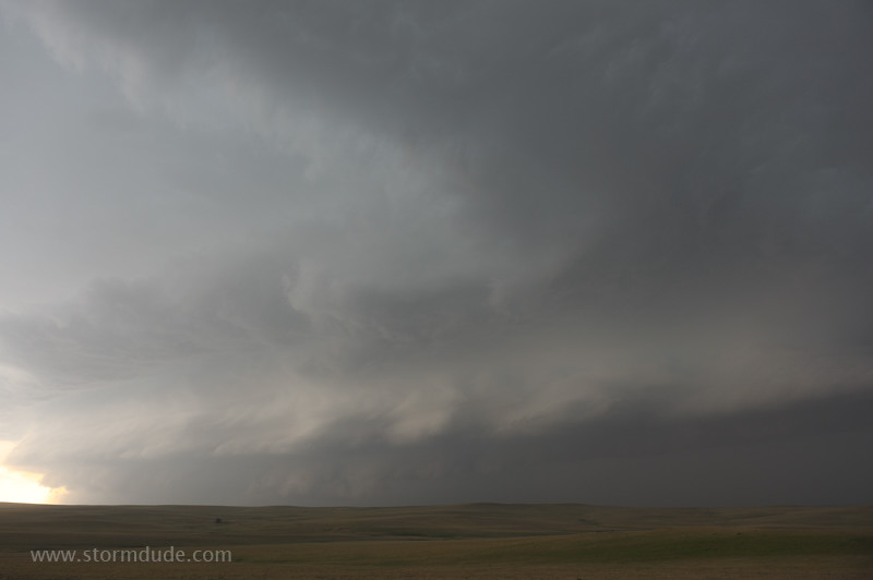
The storm looks even more impressive from a distance.
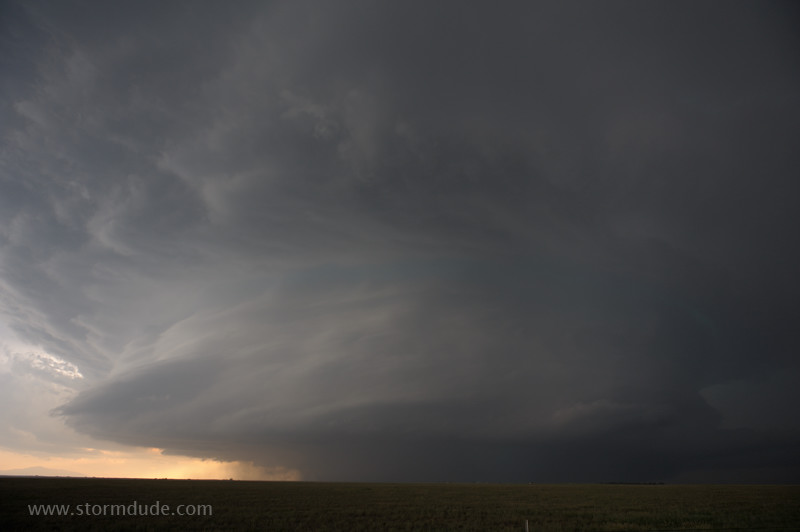
Massive rotating storm.
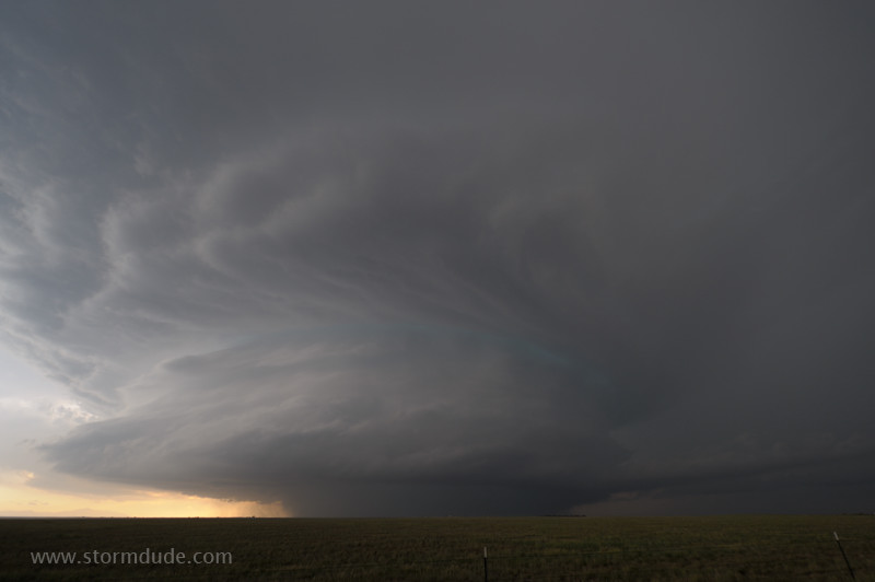
Wide-angle view.
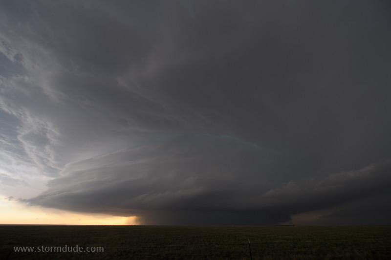
A stunning sight at dusk.