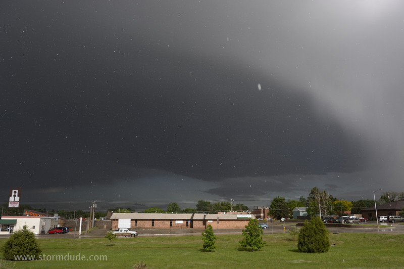
May 30: Central Nebraska Storm
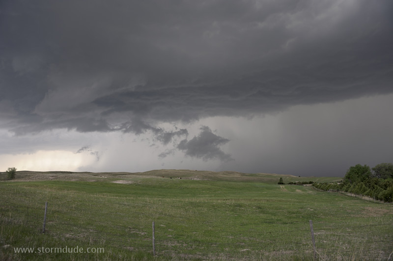
Storm develops in the Sandhills of central Nebraska.
It quickly becomes dominated by rain-cooled outflow.
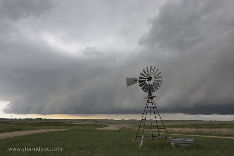
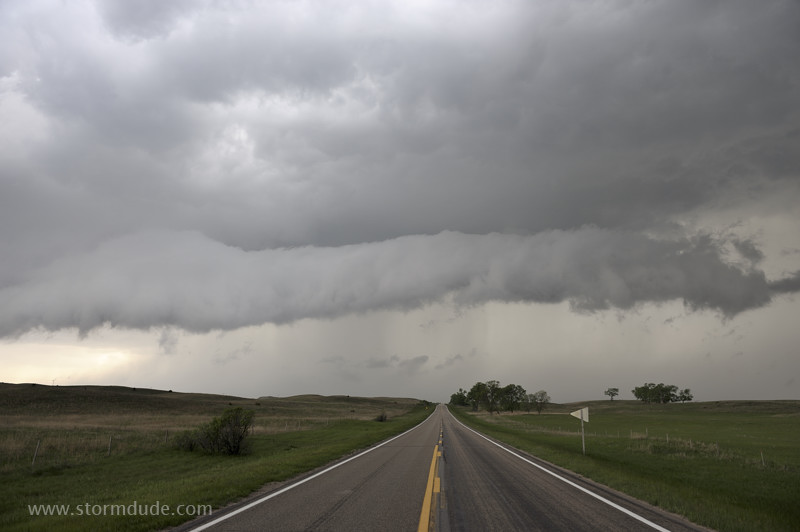
Shelf cloud forms late in the afternoon.
An unbroken line of storms extends into northern Kansas.
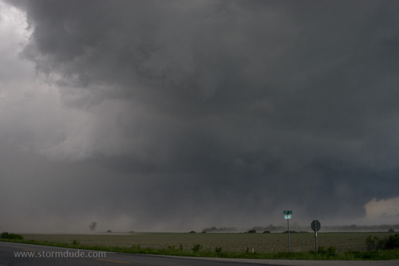
Strong straight-line winds, with an occasional gustnado, are headed for Kearney, Nebraska.
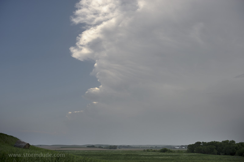
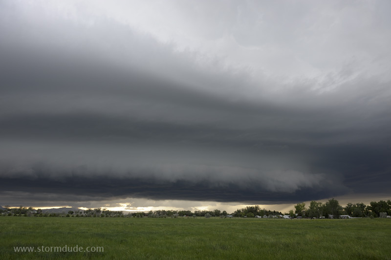
June 8: Eastern Wyoming Supercell
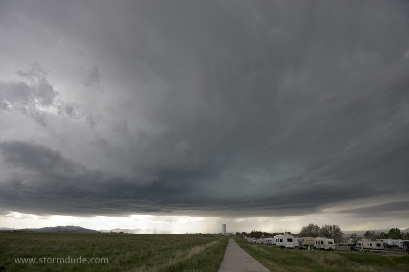
Small supercell moves across the High Plains in the southeastern part of the state.
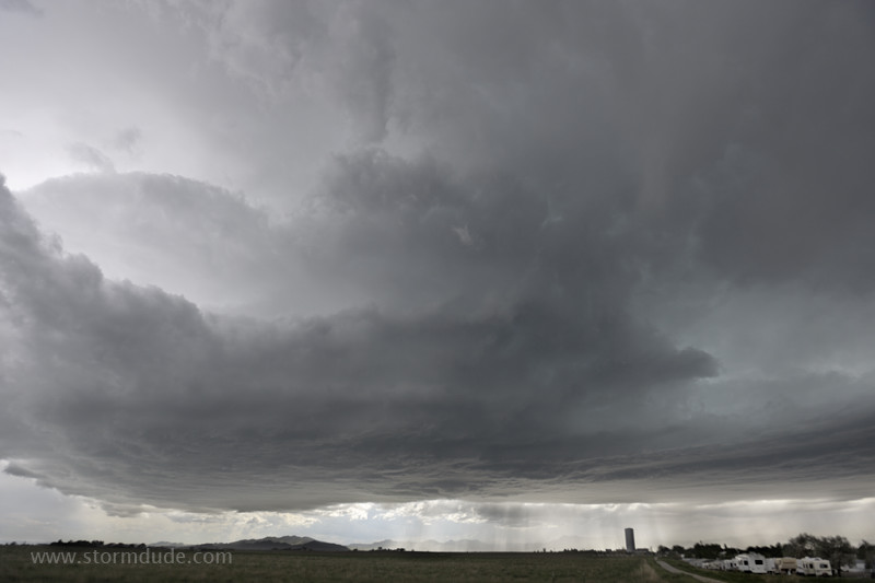
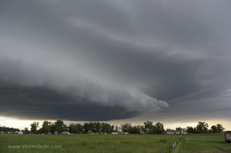
High-based storm with signs of rotation just west of Wheatland.
Hail begins falling from ragged underside.
Beautiful hail storm with some stones the size of half-dollars. The sunlight provides an unusual view of hundreds of hail stones at once.
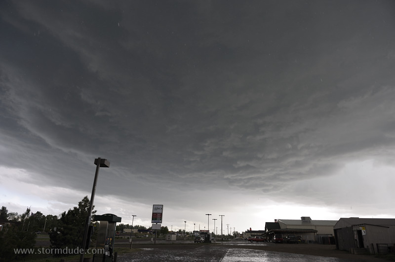
Another storm later in the evening.
A scenic end to the slowest season for supercells in the Great Plains in over a decade. Despite that, my close encounter with a large, intense tornado on May 24th made this an exceptional year.