June 15th: Southern Kansas Supercell and Wall Cloud
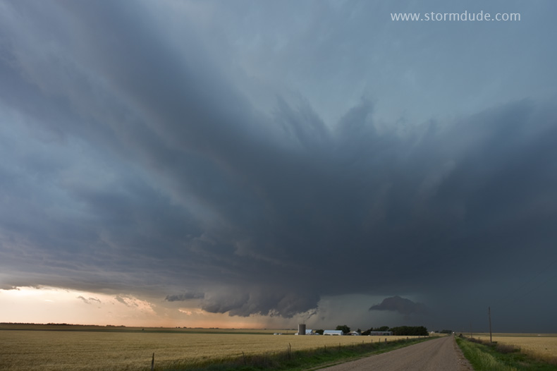
On a hot, humid afternoon, we intercept this supercell just west of Kinsley, about thirty miles northeast of Dodge City, and enjoy a classic Kansas view on a stormy afternoon.
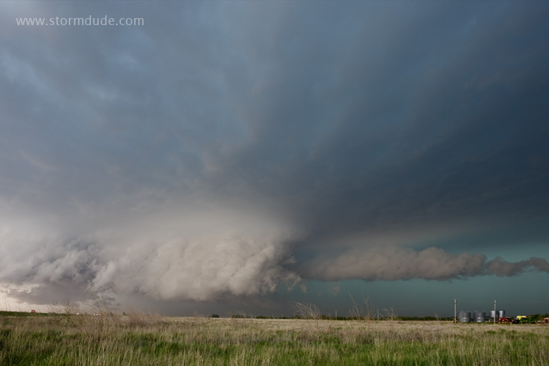
Storm takes on HP characteristics on a day with high CAPE and marginal shear.
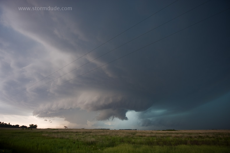
Spectacular wall cloud develops halfway between Kinsley and Stafford. (This is after we get caught in golfball size hail as we drive east to stay ahead of the storm. Lots of dents!)
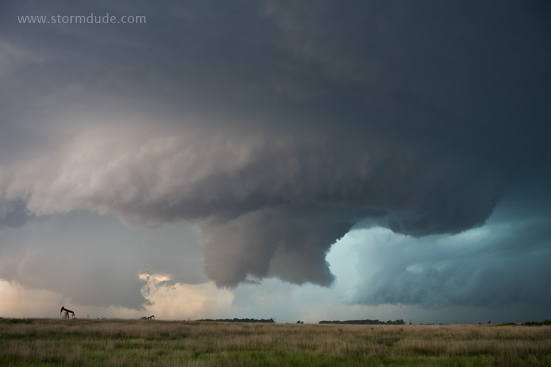
Strong rotation with several funnels descending and lifting without reaching the ground. A truly remarkable sight in open pasture right in front of us. Outflow undercuts the updraft and we head east, soon intercepting a partially rain-wrapped cone tornado. With the core closing in on us, no time to stop for photos.
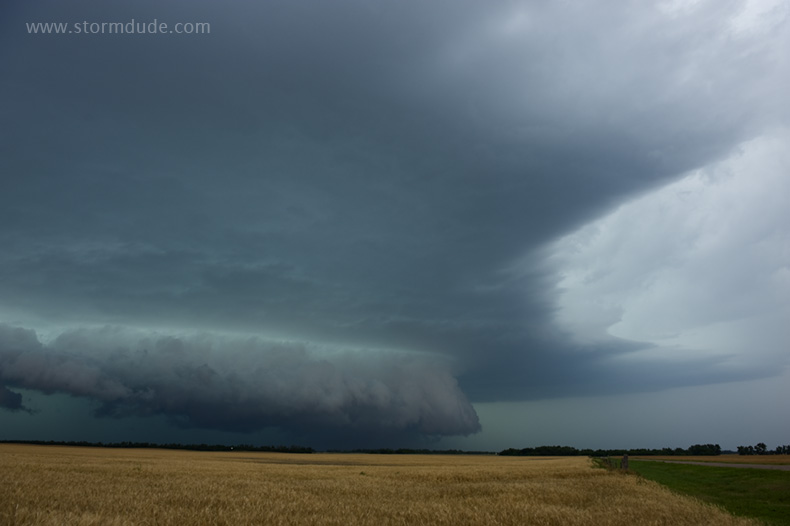
After a long drive getting back in front of the rain and hail core, we get one final view before being forced away from the storm due to road closures.
June 17th: Northeast Colorado LP Supercell
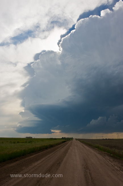
On another hot, humid day in the Central Plains with minimal shear, we head to northeast Colorado on our last day of chasing for the season.
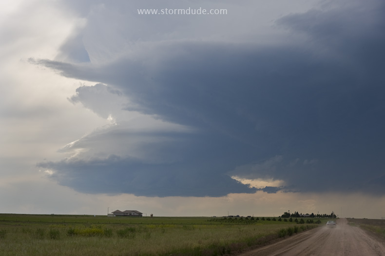
We intercept this beautiful LP supercell a few miles southwest of Akron.
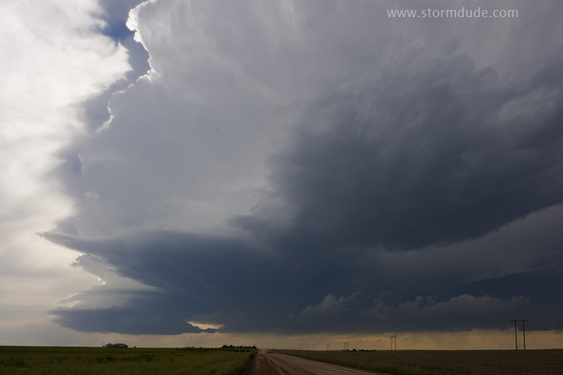
The storm has a rotating updraft but struggles to grow.
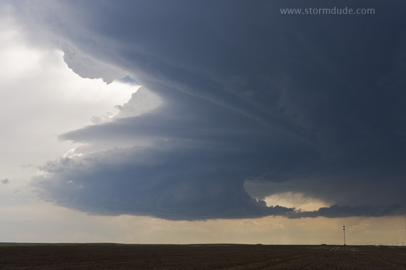
Close view of the updraft.
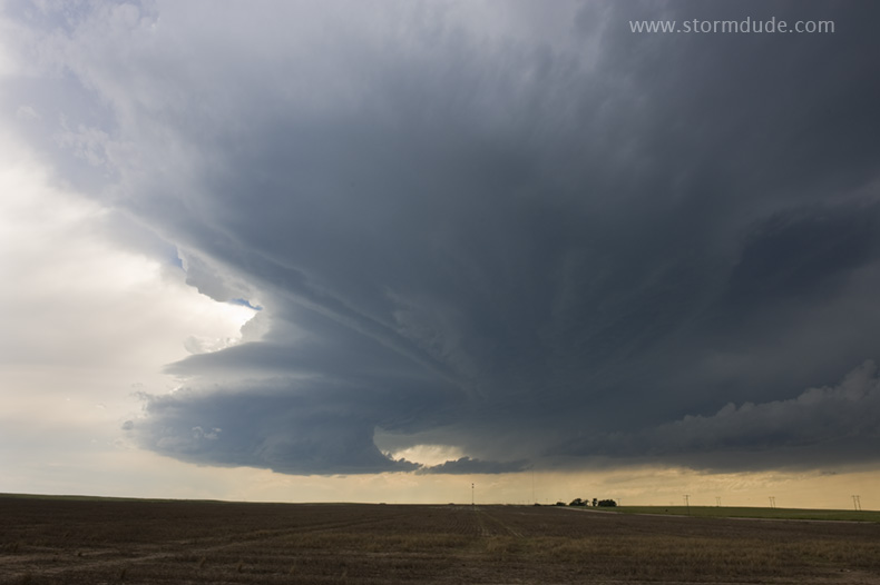
A beautiful sight over Colorado farmland.
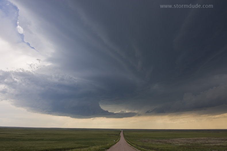
We drive a few miles west on a lonely dirt road to get a better view.
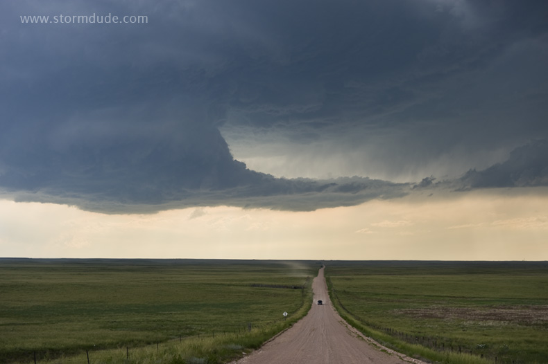
The storm moves towards us.
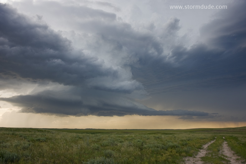
We get a final view of the storm a few miles north of Eckley, Colorado.
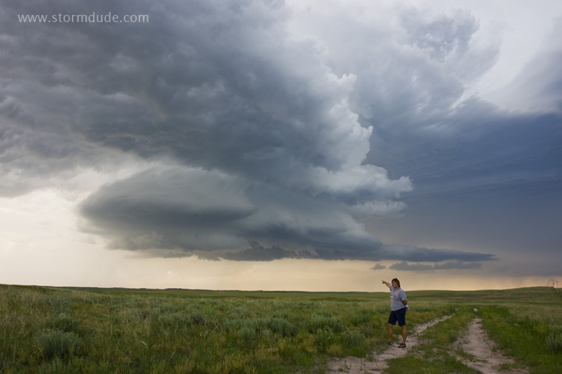
Last storm of Pam's two-week chase trip. Two classic tornadoes, a amazing wall cloud and several spectacular supercells provided her with a very eventful rookie experience.