May 25: Northwest Texas Panhandle Storm
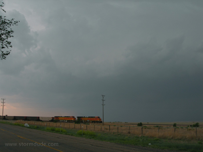
Isolated storm develops in far eastern New Mexico then moves east-northeast into the Texas Panhandle. I intercept it about four miles north of Channing.
Beginning of a wall cloud as the storm strengthens.
Great view from a fast, dry, uncrowded paved road.
One of the more breathtaking sights of the season, and with only a couple of other chasers around.
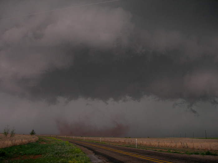
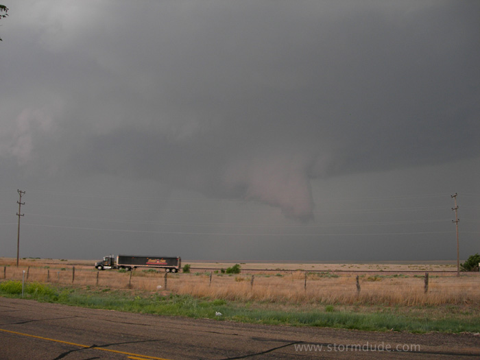
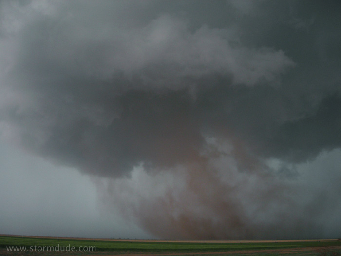
Wall cloud is rotating strongly when dust begins rotating below it.
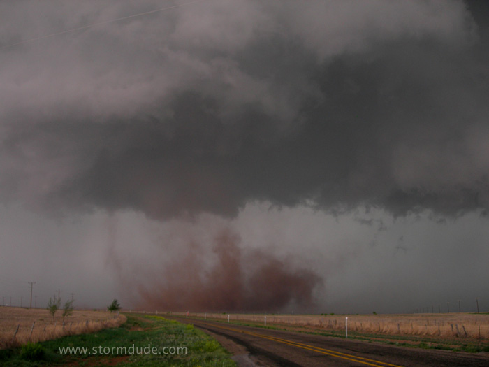
Awesome sight right in front of me.
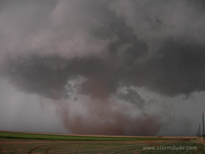
Mature stage of this weak circulation.
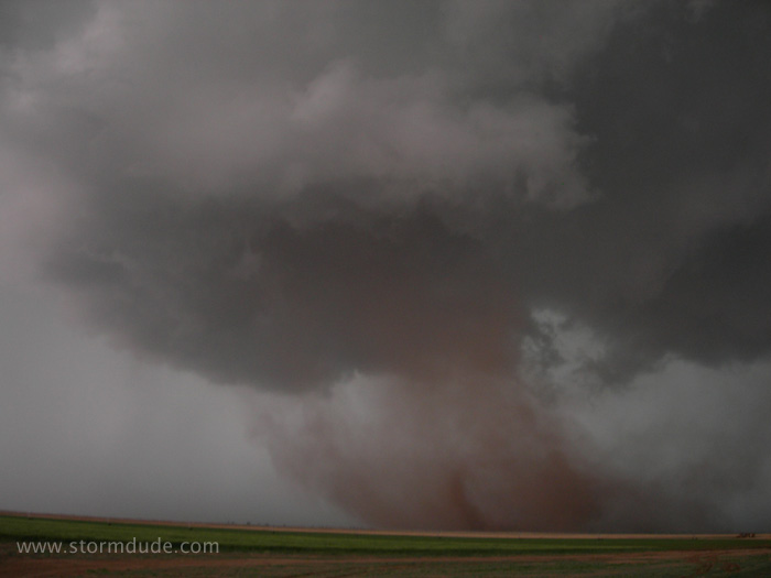
Strong outflow begins to overpower the updraft.
Rotation slows and I head east a few miles to get through Dumas.
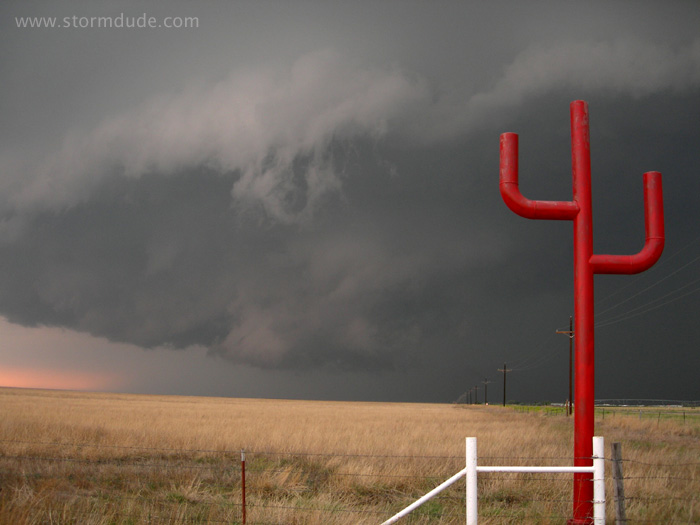
Storm approaches my position east of town. Outflow is dominating.
Rain-cooled air is sucked into the updraft, on the verge of creating another wall cloud, but the cool gust front soon undercuts the updraft.
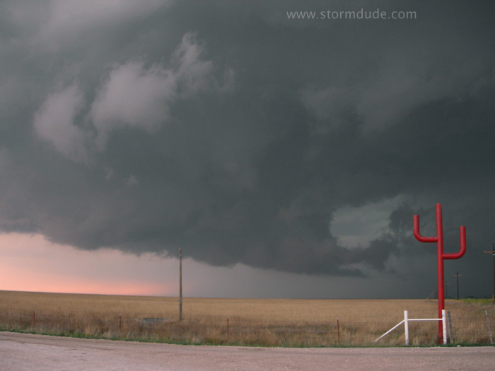
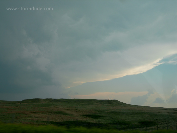
Easterly roads end in Stinnett, so I choose the northern loop. The storm is still in sight at 6 pm.
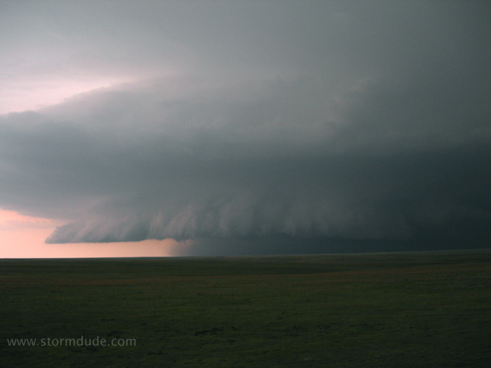
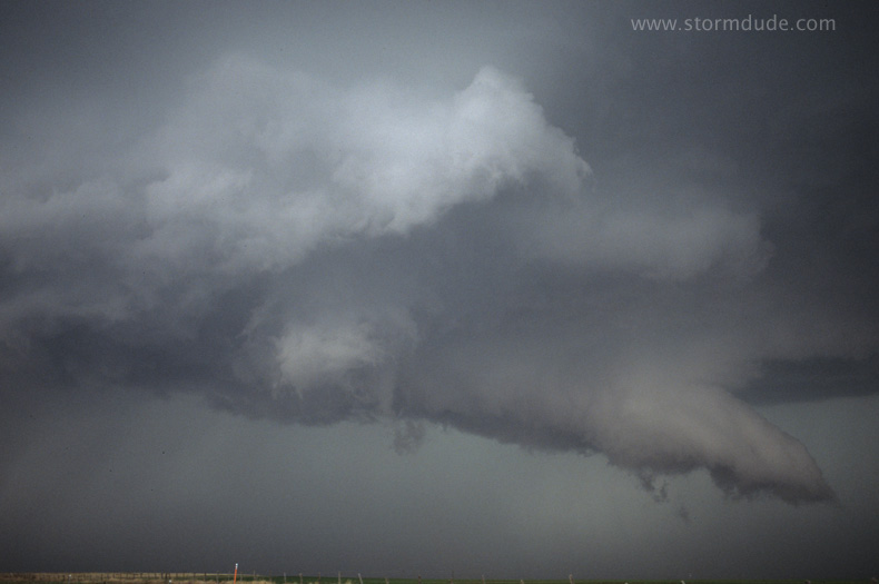
Beautiful shelf cloud viewed from Highway 70 at 7:30 pm.
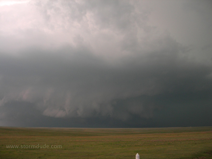
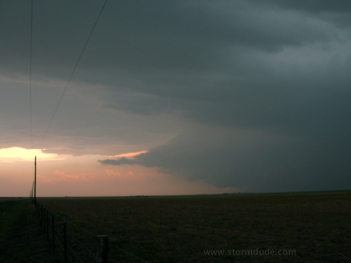
Interesting lowering to my north.
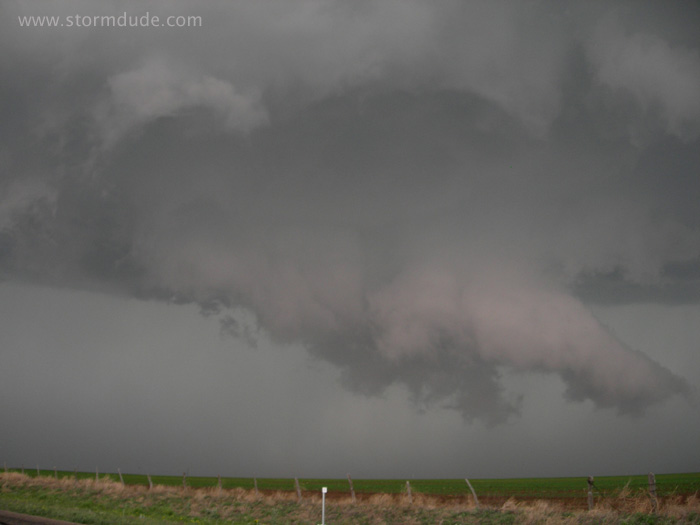
View towards the northeast.
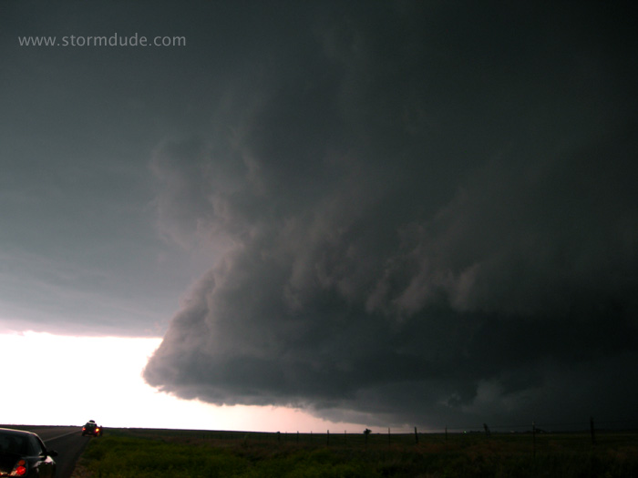
Shelf cloud about to cross the highway in front of me. For the second day in a row, I get great views of a beautiful storm.
May 26: Southwest Kansas Thunderstorm
Target of far northeast Texas Panhandle produces this evening storm near Ashland, Kansas.
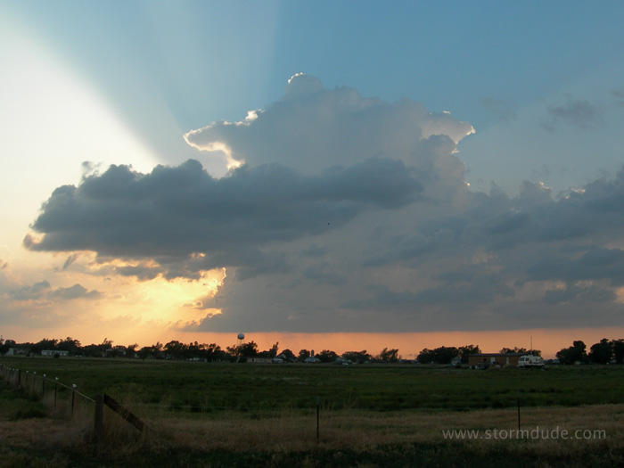
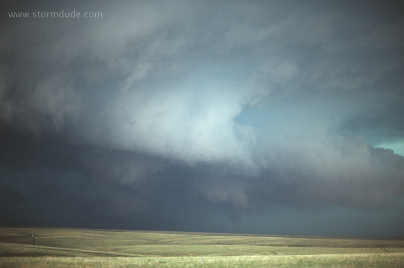
It weakens and nothing else seems worth chasing, so I head to my campground, enjoying this view along the way.
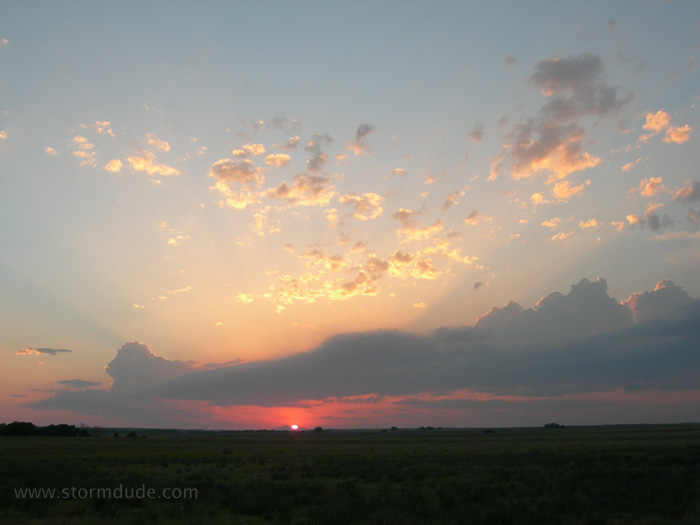
From Meade State Park.
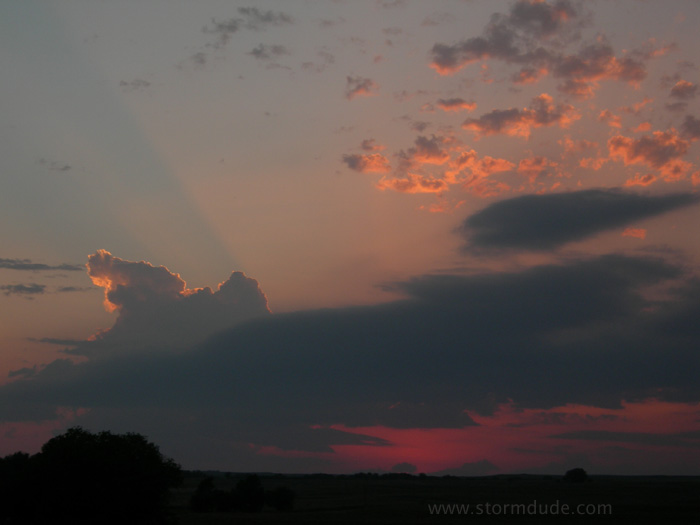
Quiet end to a very active severe weather period in the Great Plains.