March 30: Dusk Storm
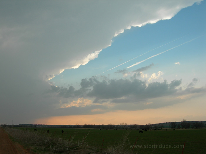
Intercepting my first storm of the season in western Oklahoma.
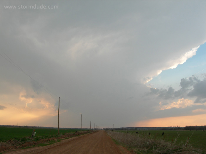
Approaching storm on a marginal day. Darkness brought more severe weather as I took shelter in the town of Hinton.
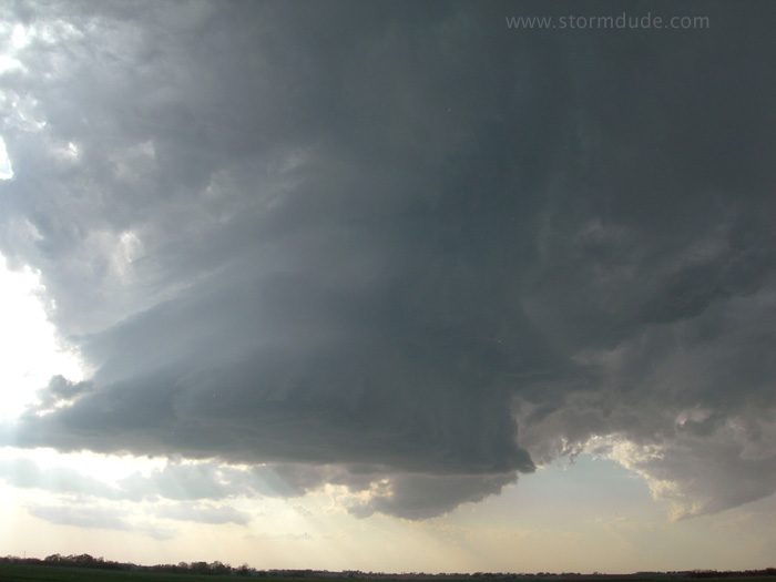
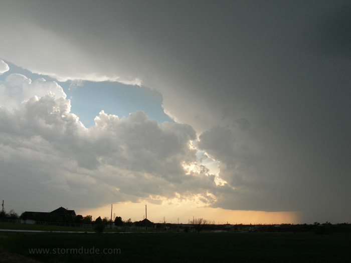
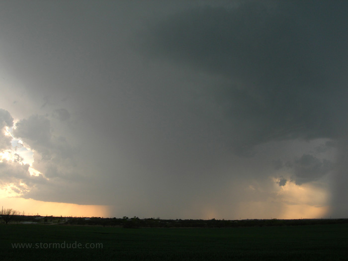
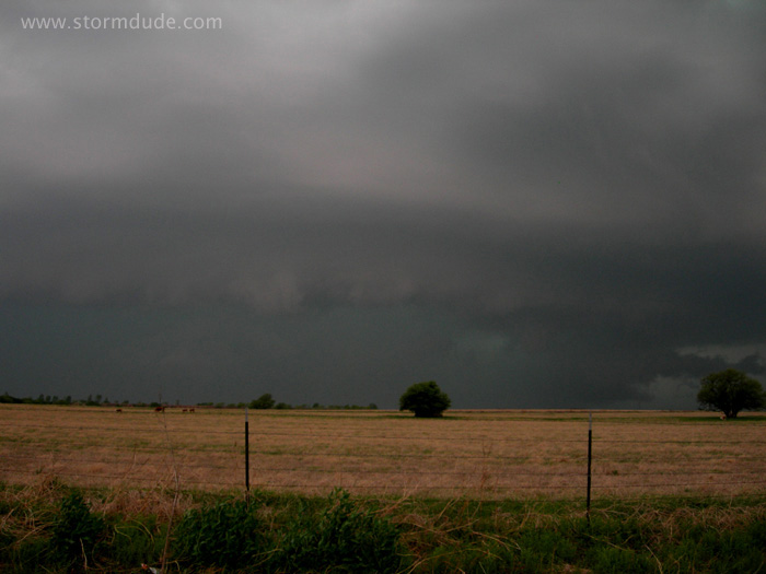
April 3: North Texas Storm
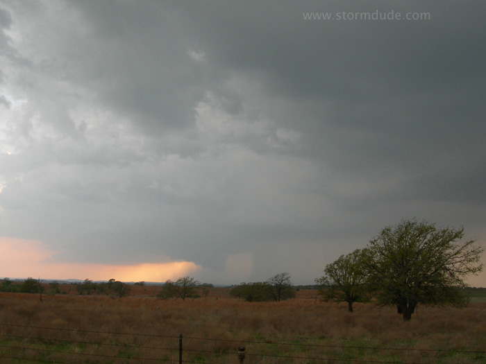
After several hours of chasing disorganized hail storms, I finally get a good look at a storm southwest of Bowie.
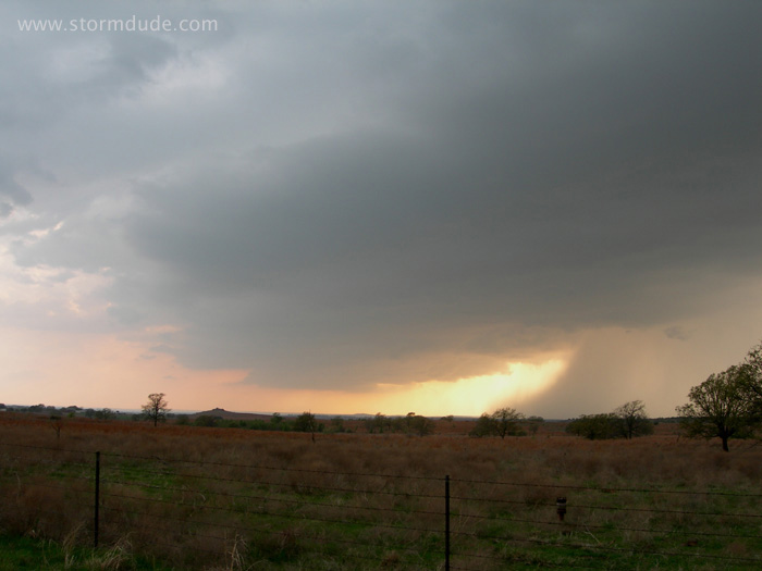
Updraft and adjacent rain foot on the southwest side of the storm.
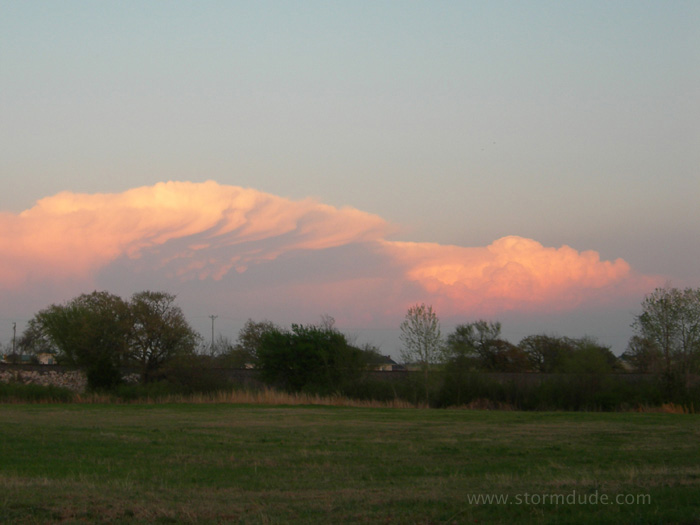
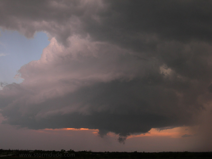
Good view at sunset.
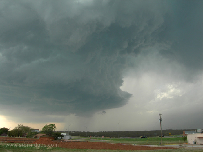
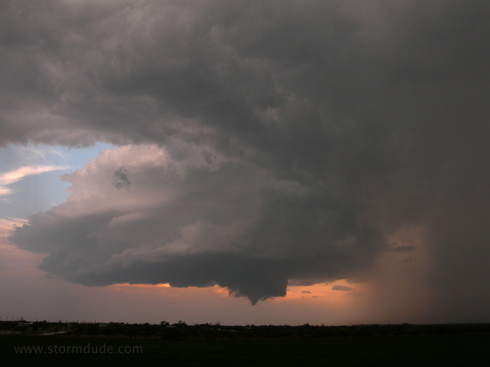
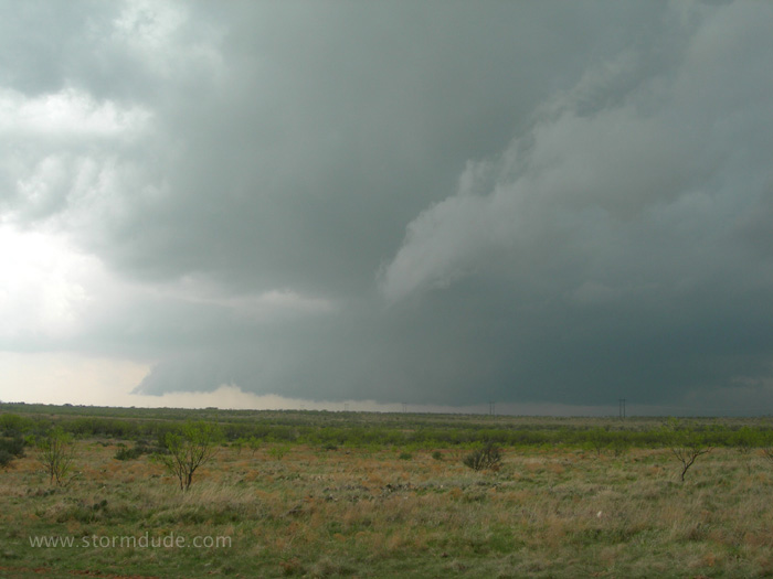
April 7: North Texas Supercell
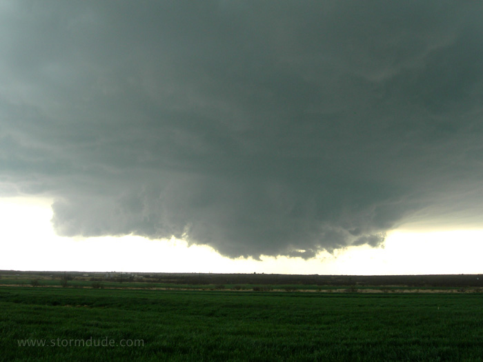
Another storm south of the Red River, this time west of Wichita Falls near the town of Electra. This wall cloud is rotating under a large rain-free base.
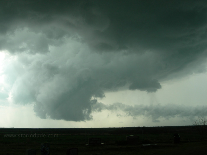
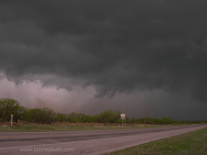
Rear-flank downdraft (RFD) wraps around the wall cloud, helping create a funnel cloud with circulation briefly on the ground.
Outflow from the rainy downdraft is seen feeding into the wall cloud.
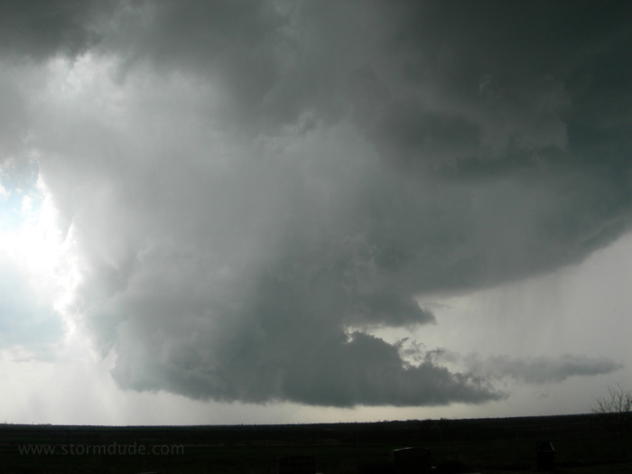
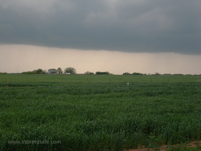
The storm has a threatening look as it approaches Wichita Falls.
View from Iowa Park, just northwest of Wichita Falls.
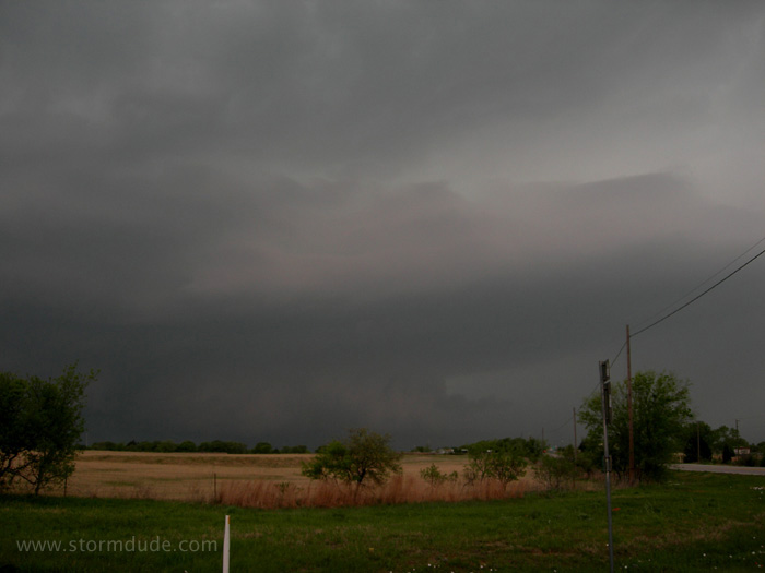
After working my way through Wichita Falls and getting back in front of the storm, I get a good view of the now much smaller cell. All is quiet as I enjoy the storm, with no lightning in the past ten minutes, until small hail begins to fall. Then a single lightning bolt strikes a nearby telephone pole (think flash-boom-sizzle nearly simultaneously).
Another storm approaches the southwest side of Wichita Falls as dusk approaches.
The storm gains strength.
Weak rotation on the southern edge of the storm, along with a small wall cloud that struggles to produce a funnel.
No tornado but a beautiful Texas storm in early April.
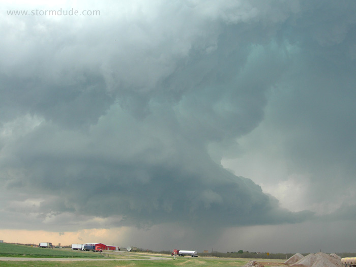
April 9: Central Texas Supercell
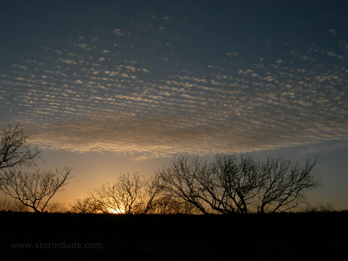
This is actually from the night before at a campground in west central Texas.
Powerful upper-trough and a warm front combine to produce this lone storm just west of Abilene.
Strong outflow as the storm blasts through Breckenridge. This long-lived supercell included baseball-size hail and EF-1 tornadoes (86-110 mph winds on the Enhanced Fujita Scale).
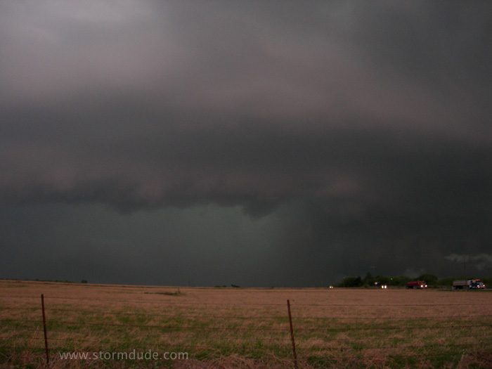
April 17: North Central Texas Storm
Squall line develops as I cross the Red River east of Henrietta.
I intercept the southernmost storm a little northeast of Jacksboro, but new a storm develops further southwest, impossible to reach before nightfall.
View across a pasture as the storm bears down on Chico, a little northwest of Decatur. But the storm weakens as the new southernmost storm develops into a powerful supercell.
View on the road to Decatur.
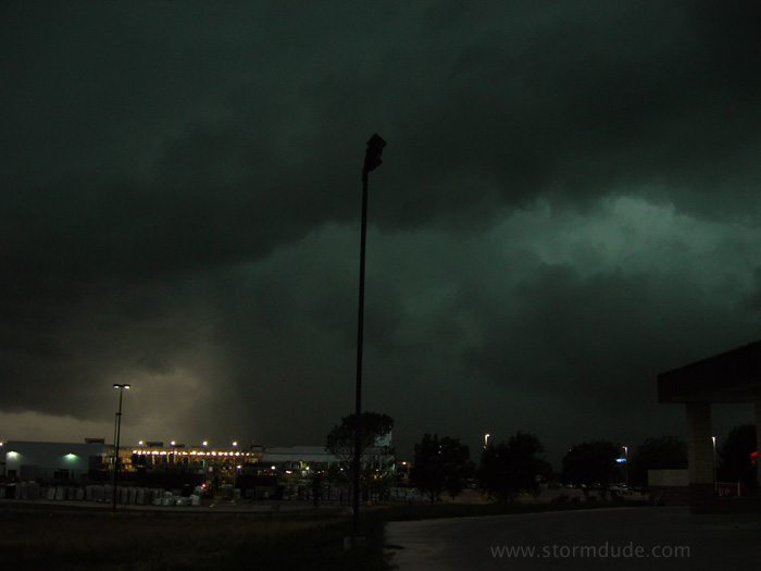
A weakened storm rolls through Decatur as baseball-size hail pounds Mineral Wells to the south.