May 23: Texas Panhandle Supercell
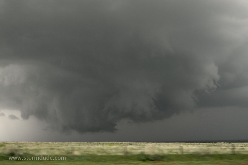
After waiting for a couple of hours in the town of Buffalo, Oklahoma, a storm develops a half-hour south of me. I follow this wall cloud for a half-hour, but the storm weakens.
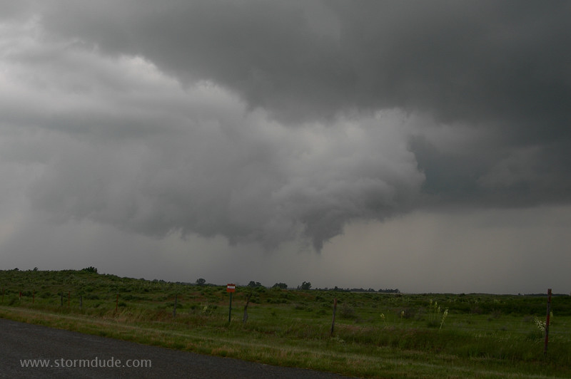
Final attempt to produce a tornado, but the real action is in the Texas Panhandle.
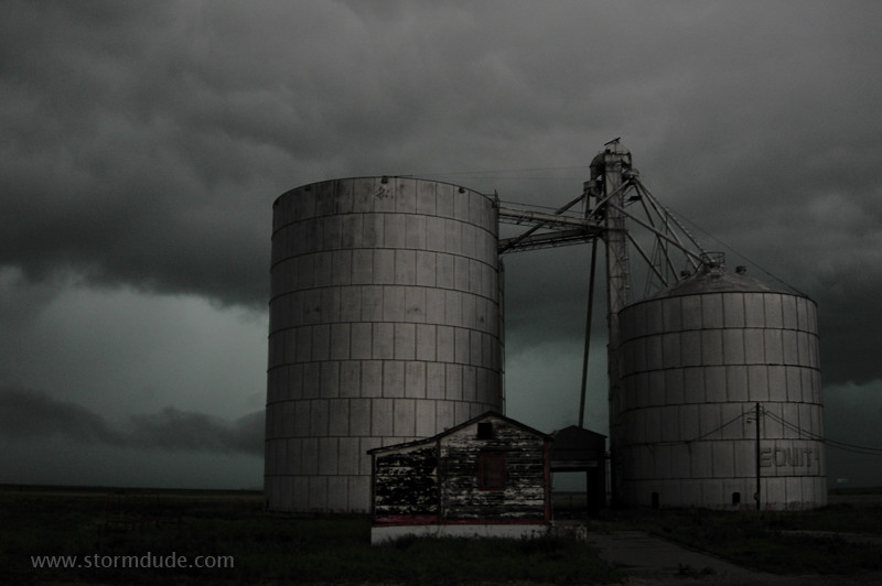
A giant stationary outflowing storm produces an east-west boundary across Roberts County. The upper level jet streak is late in arriving and the strongest storm is on the other side of large cattle ranches with no public roads. As the evening wears on, I don't expect much.
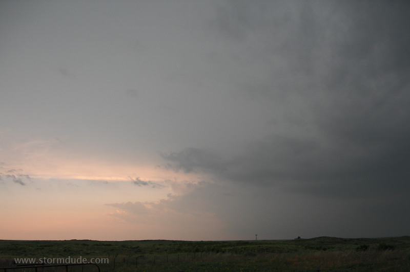
I'm hoping the strongest storm, now just east of Stinnett, will stop moving north and follow the outflow boundary towards me. This view is looking west along the Canadian River.
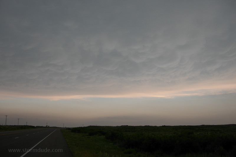
Looking south.
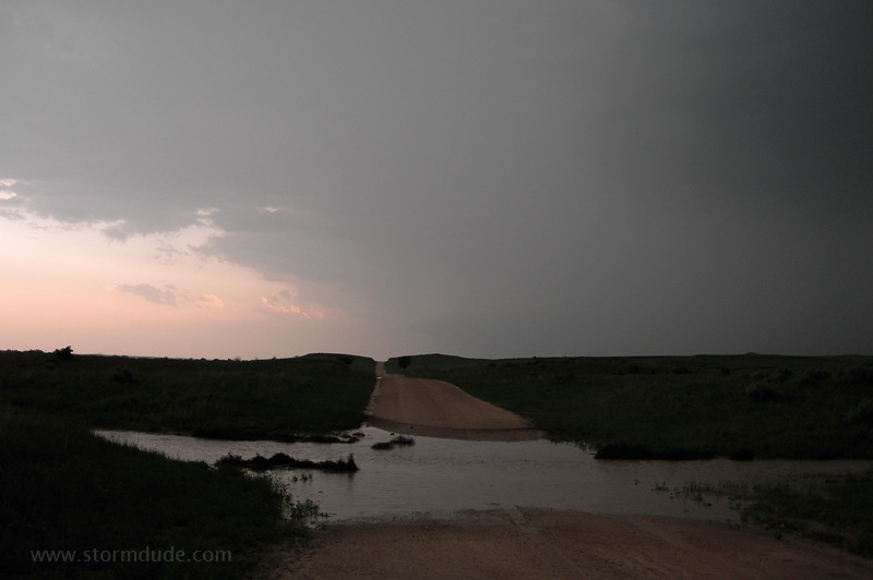
I find a dirt road just north of the river and start driving towards the Stinnett storm, but am stopped by a shallow water crossing. Only a couple ofother chasers are on this remote road in the grazing lands of the central Panhandle.
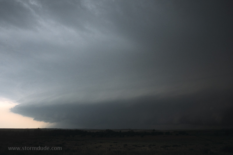
After a half hour the stream isn't rising, so I decide to follow another chaser towards the storm. We're treated to this great view.
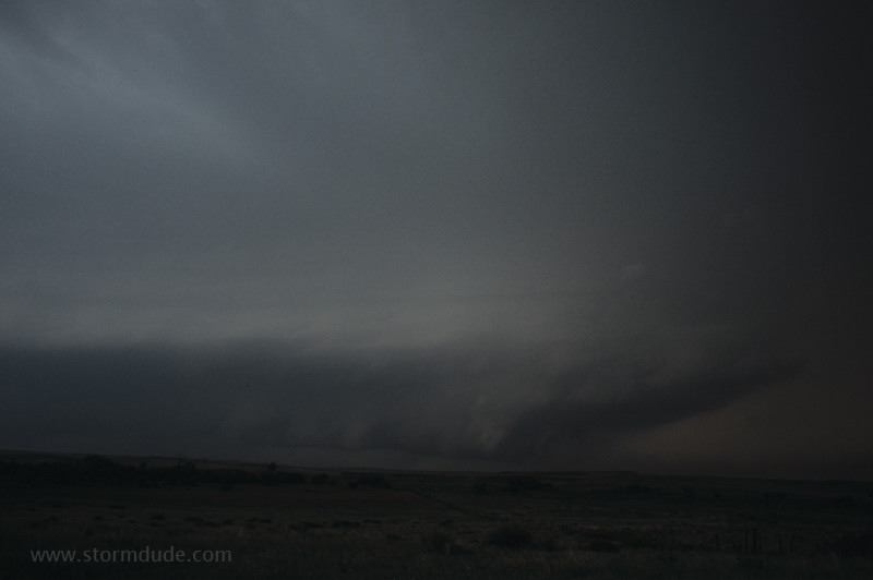
Looking further to the right.
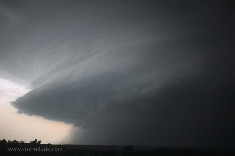
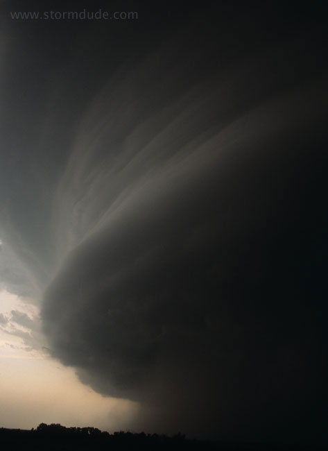
Magnificent HP beast of a storm spinning like a top as daylight fades.
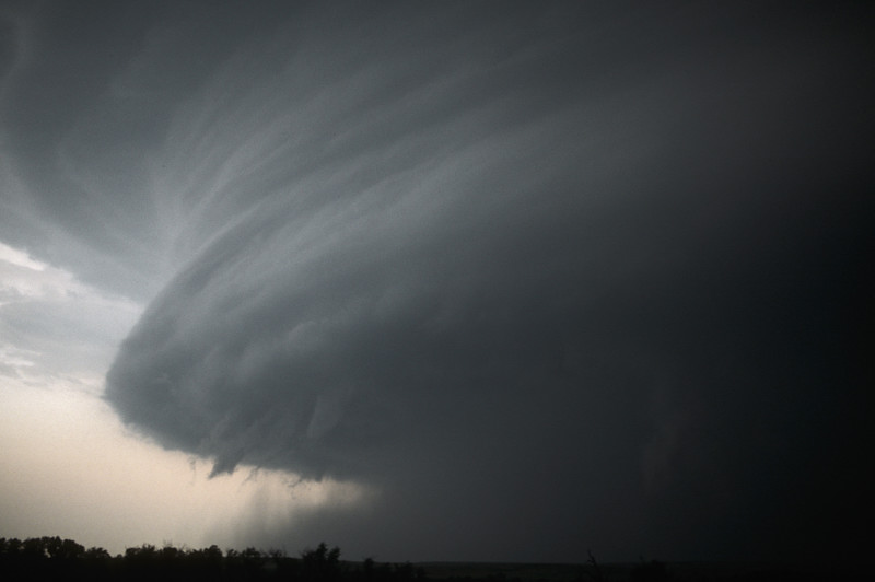
The storm is moving slowly towards us, along the boundary put down by the earlier stationary storm.
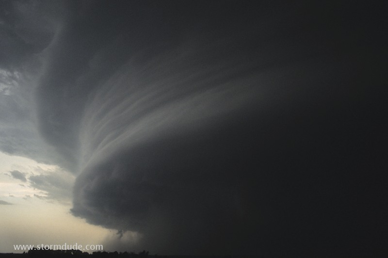
When local ranchers ask us about the storm, we explain the nature of the threat. They soon follow us out of harm's way.
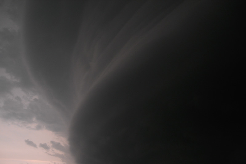
One last view of the slow-moving storm. Words can't convey the awe of confronting this spectacular display of nature's power.
A little while later, as darkness takes over and I drive east towards the highway, I encounter Sean Casey's TIV backing up. Knowing the difficulties his team is facing on the wet dirt road, I give them a little room until they pull over to let me pass. On the second episode (Season One) of "Storm Chasers" (Discovery Channel), someone dubbed in a honking horn as I went by. That wasn't me honking! You can see my SUV though (which my son even spotted when he saw that episode). [I added this 1-10-14 as I finally started watching the series on my wife's new Kindle!]
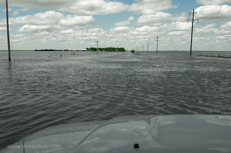
The next day I encounter a lake across Highway 70, the results of an evening of stationary storms. Highway Department personnel are guiding traffic across, though it is still a little spooky when the three trucks in front of me get way ahead and I can't see the road. But it's not as deep as it looks here.
May 25: Northwest Kansas Supercell
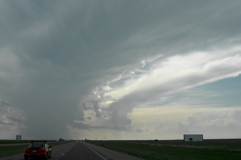
With a weak jet streak crossing northwest Kansas, I'm hoping for another supercell, though weak surface winds and marginal moisture set my expectations low. I intercept this tower late in the afternoon southeast of Goodland, Kansas.
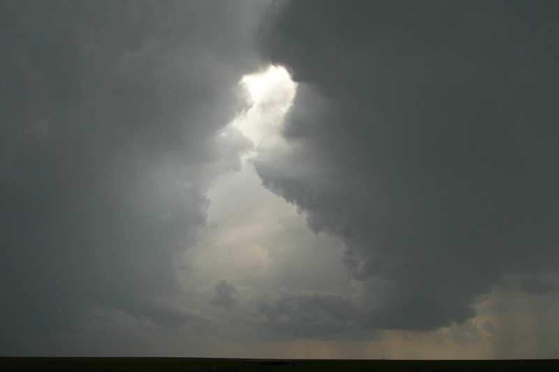
Two towers merging.
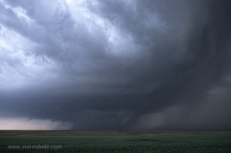
The result is a supercell and ragged lowering, though outflow dominates in the marginal conditions.
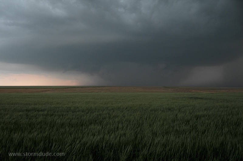
No other chasers around as I watch this beautiful slow-moving storm from a remote farm road.
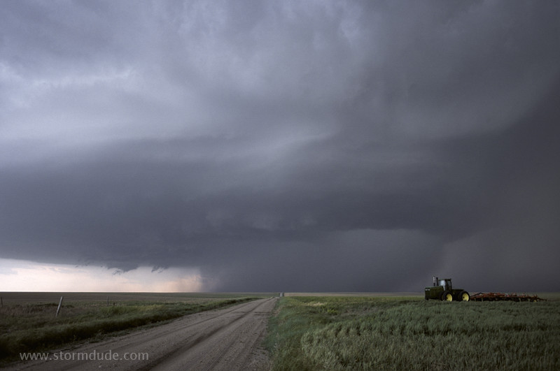
Lightning is frequent with this storm.
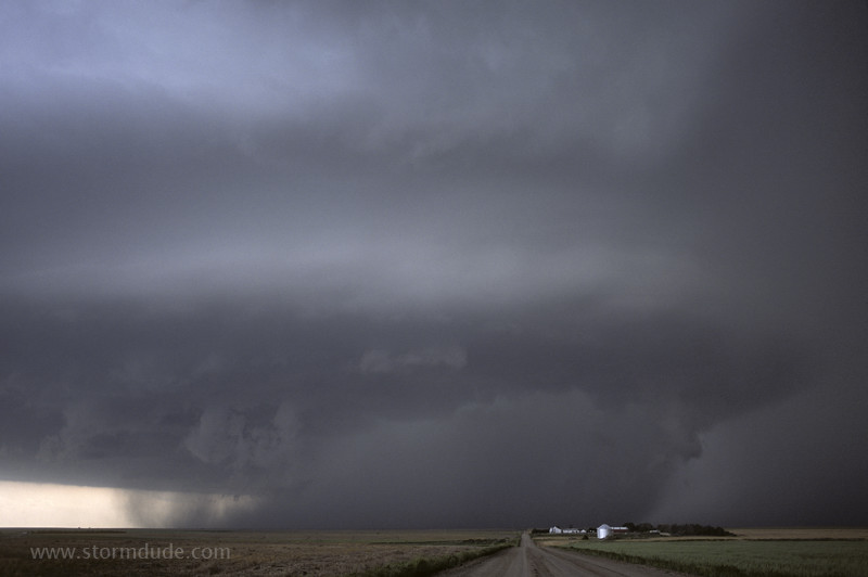
Dramatic Kansas farm scene as the supercell drifts slowly east.
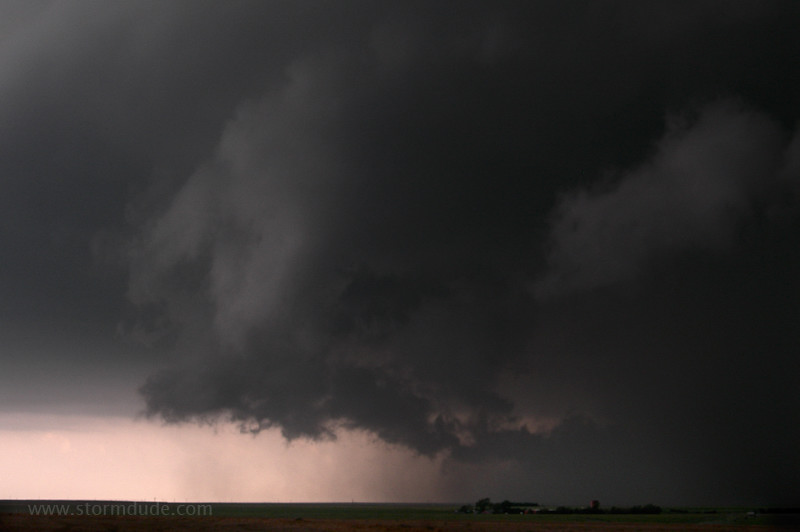
Rain-cooled outflow dominates.
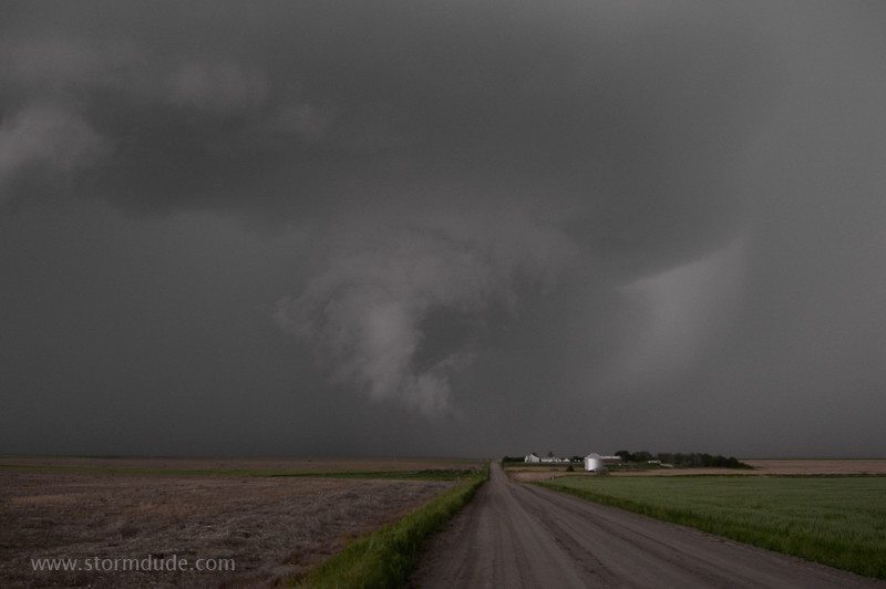
A lowering emerges from the storm but isn't rotating.
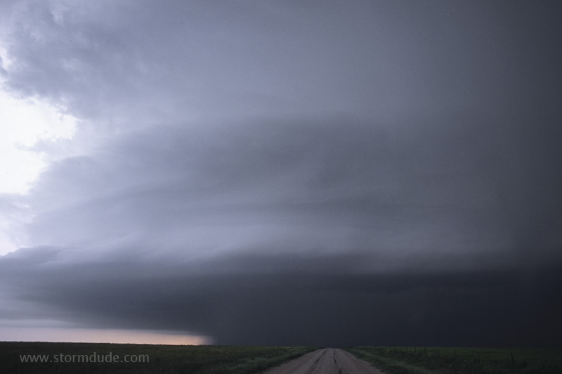
I wonder what would happen if a storm like this was bearing down on the Huntington Beach Pier. The locals would probably flee in a panic while the Kansas tourists take some video.
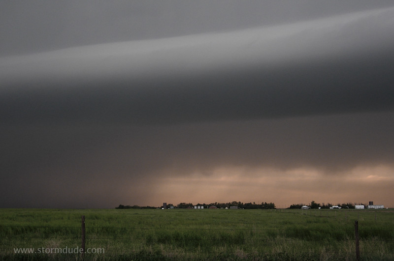
Roll cloud stretching from east to west.
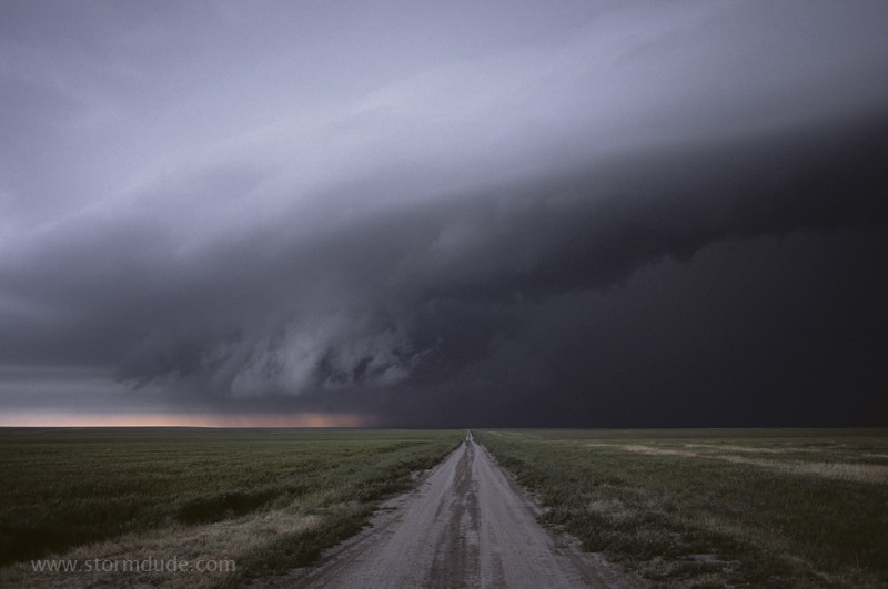
Three incredible chase days in the past four days have made this a memorable season.
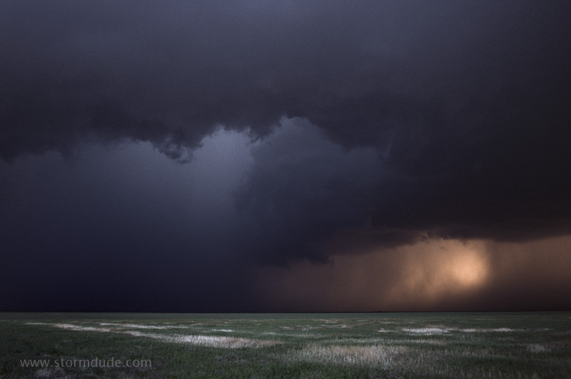
Another inspiring view at dusk.