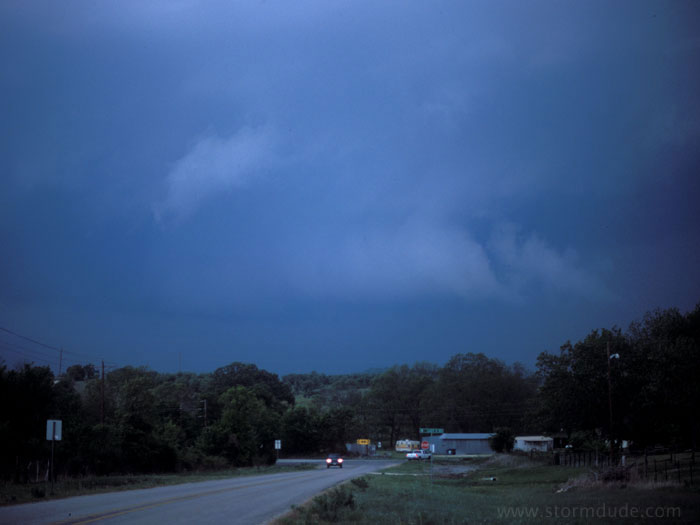
April 20th: Northern Oklahoma Storm
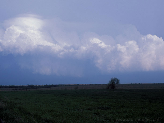
Northeast of Ponca City, Oklahoma, my first photogenic storm of the season.
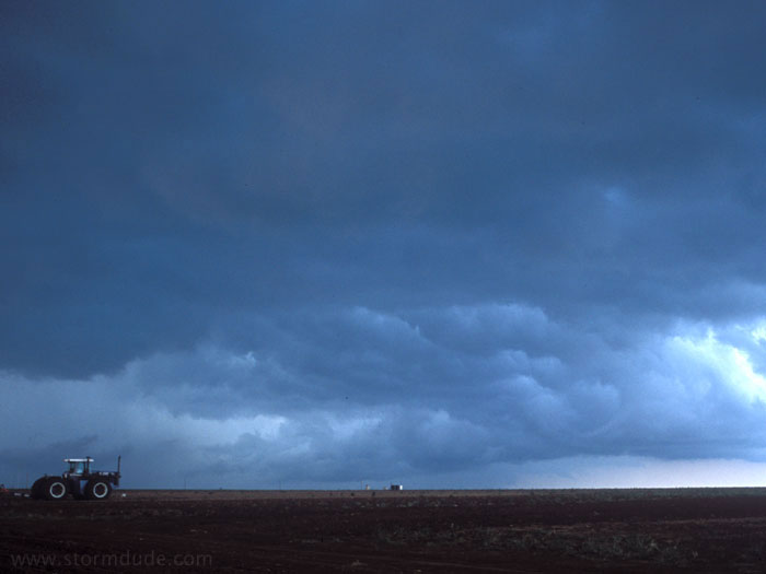
April 21st: Northwestern Oklahoma Storm
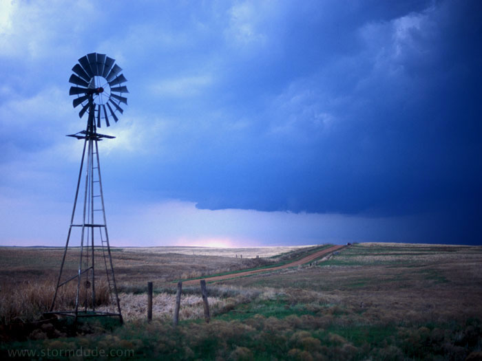
Late in the afternoon on the following day, north of Woodward, Oklahoma.
Good rotation with strong east winds, but outflow soon takes over.
Poor targeting and a difficult road system made me late for the tornado action at the southwestern end of this storm. From my vantage point, only a small brief tornado was visible (by the time I stopped for this photo, it had nearly dissipated).
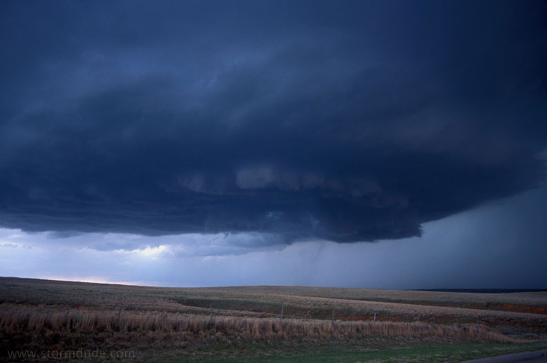
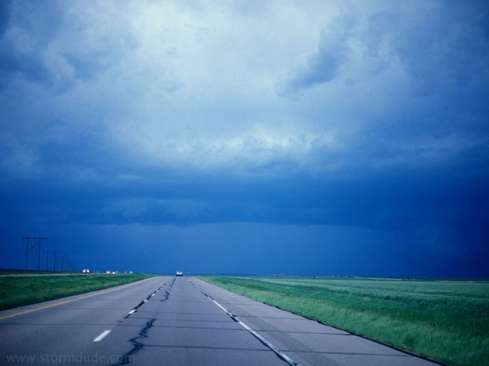
April 22nd: North Texas Storm
Non-rotating wall cloud west of Gainesville, Texas.
April 23rd: Central Texas Squall Line
Developing squall line north of Abilene, Texas.
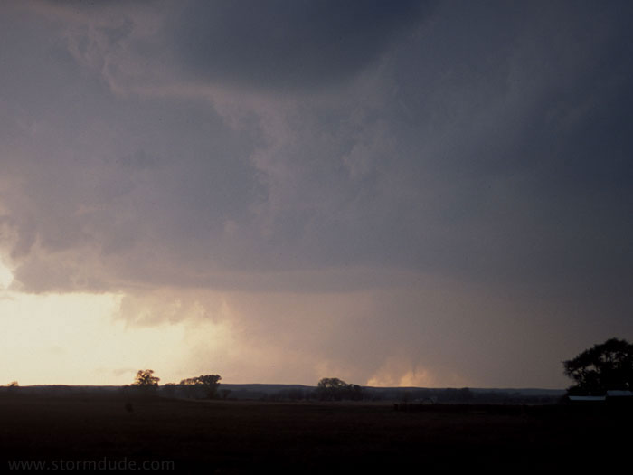
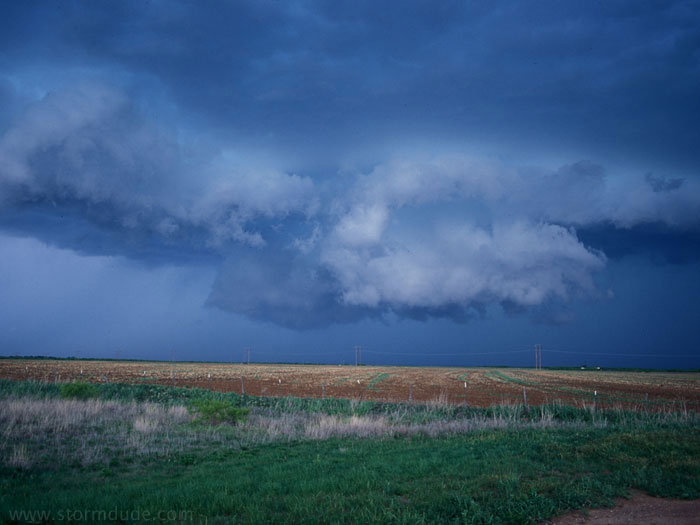
April 25th: North Texas Thunderstorm
Driving north from Wichita Falls, I encounter a marginally severe storm.
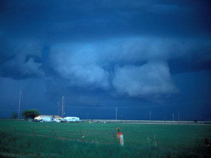
A developing shelf cloud gives this storm an ominous look.
The shelf cloud takes on a more ragged appearance as it approaches Quanah, Texas.
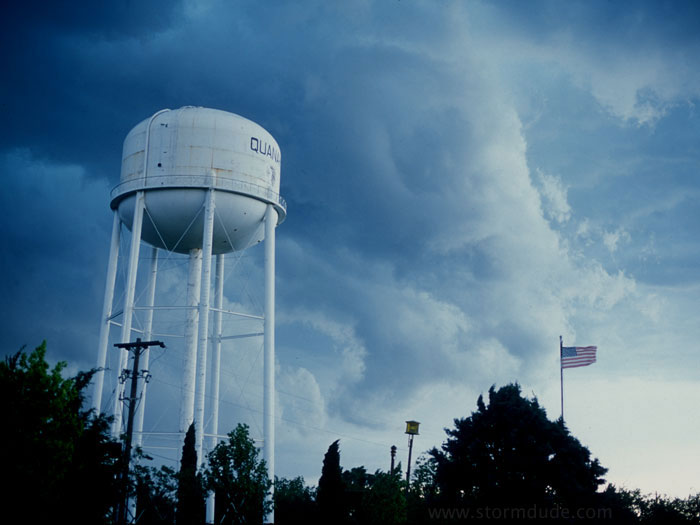
Cool gusty winds as the storm blows through town.
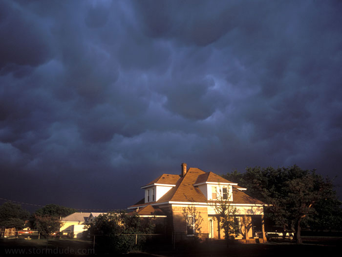
Rear of the storm at sunset. This is one of several days in 2004 that result in very scenic photos from marginally severe storms.