Other Storms - April 5th:
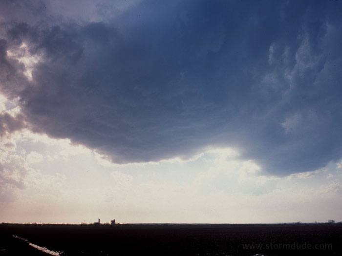
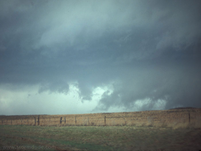
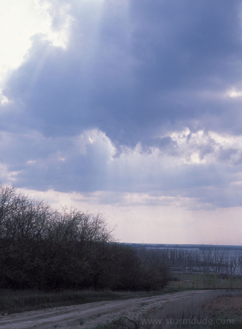
Weak convection near the triple point north of Abilene. I missed the long-lived supercell which produced a tornado and large hail along the warm front in central Texas.
Thunderstorm brewing along the northward-moving warm front at sunset.
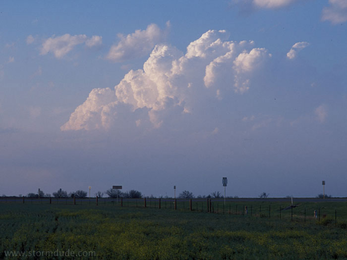
April 6th:
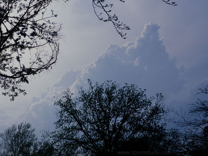
Squall line developing in northeast Texas.
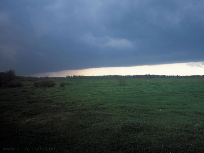
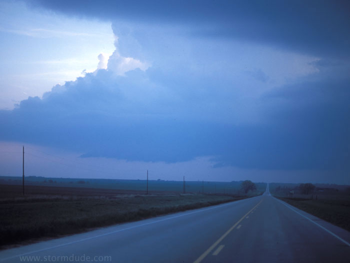
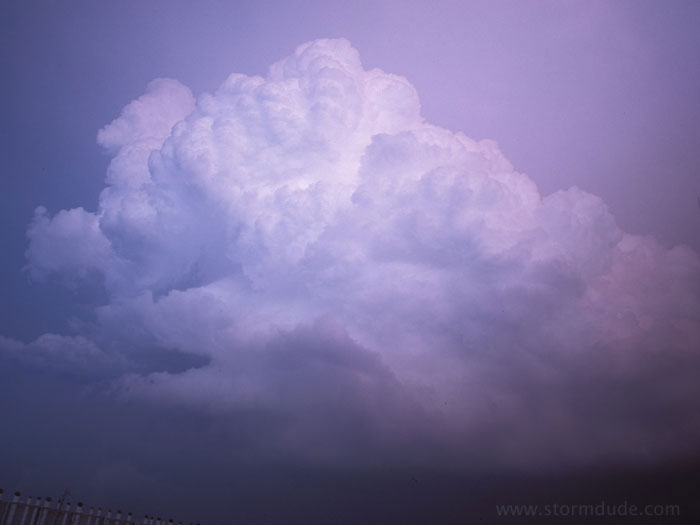
April 15th:
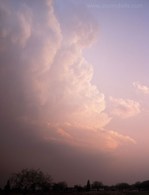
Developing storm near Wheeler, Texas.
Looking southwest as the storm approaches. Around this time, a brief tornado forms. It is barely visible from the south, but not from my viewpoint.
April 18th:
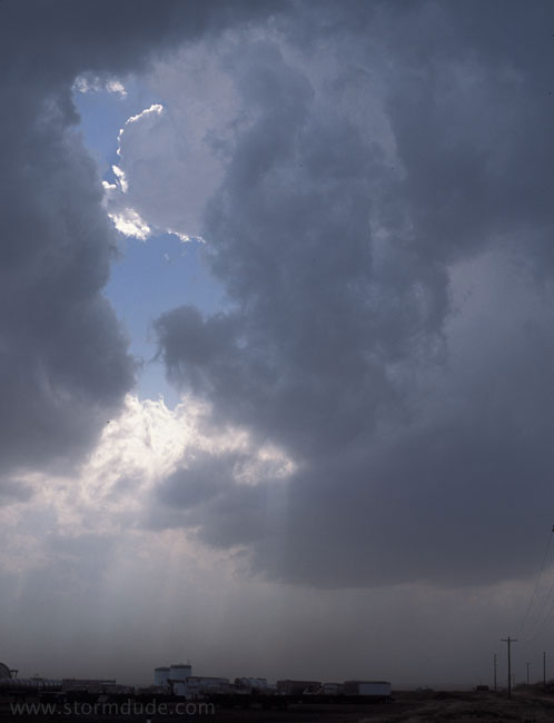
Evening storm in Wichita Falls. It puts on a good lightning show and drops marble-size hail.
Same storm right after sunset.
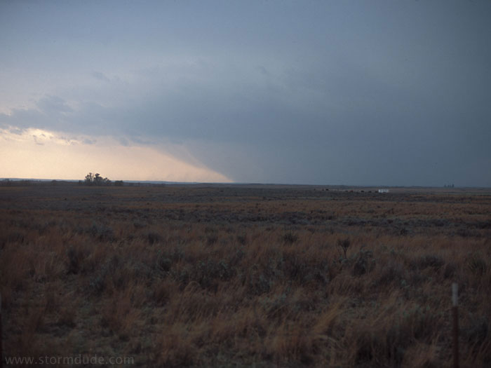
April 22nd:
Convection near Brownfield, Texas. High shear and cool inflow keeps thunderstorms from developing.
April 29th:
On a warm muggy day in north central Kansas, a thunderstorm tries to develop.
A supercell finally develops at dusk. Sirens go off in Kensington as a turbulent shelf cloud approaches. The storm strengthens and moves into south central Nebraska after dark.
April 30th:
Edge of severe storm after sunset near Wichita, Kansas. The storms once again held off until late in the day.