April 13th: West Texas Supercell

Supercell north of Plainview, Texas.

A later view of supercell as it moves south towards Plainview. The cone-shaped lowering doesn't last long in this somewhat disorganized storm. Nevertheless, a tornado warning is issued as the storm moves due south towards the city.
April 15th:
Dryline on a warm, calm day, just north of Memphis, Texas. The Texas Panhandle can be quite beautiful during the spring, storms or no storms. I also enjoy my visits there because of family roots from the early 1900s.
April 17th: Northwest Oklahoma LP Supercell

LP supercell north of Woodward, Oklahoma.
Same storm a little later, as it moves northeast and weakens. A half hour later, I am caught by a brief shower of golf ball size hailstones in a new updraft ahead of the main cell.
View of the main updraft as it heads into Kansas. After dark, a new storm drops a powerful tornado southeast of Alva. From outside my motel, I watch nearly continuous lightning as the storm tracks northeast, about 20 miles south of me.
April 19th:

Dying supercell west of Big Spring, Texas.
April 23rd:

Convection at dusk south of Alva, Oklahoma. On a moderate potential day, nothing of interest develops in my target area, but during a phone call home from the local Wal-Mart, I enjoy this scene. The storm becomes marginally severe after dark.
April 25th:
No storms as a warm front moves over Weatherford, Oklahoma.
April 27th:
...And no storms as a weak cold front approaches Cheney Lake, Kansas.
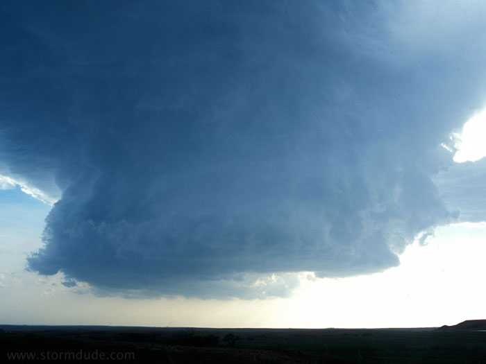
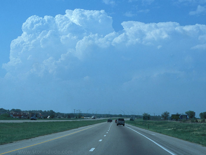
May 5th: Southwest Kansas Supercell
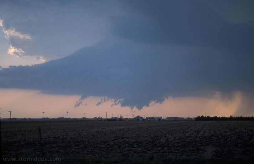
Developing wall cloud in supercell northeast of Dodge City, Kansas. About the time the storm begins to organize, wind fields weaken.
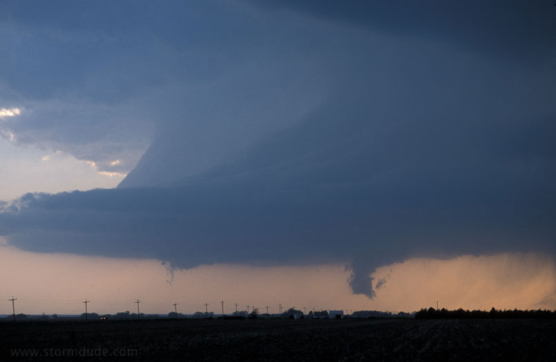
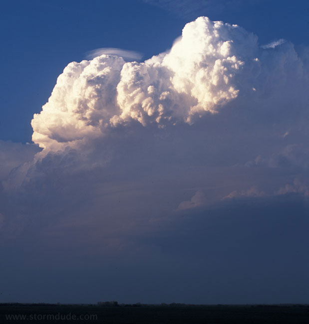
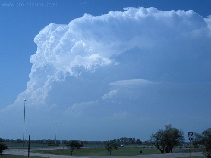
Bell-shaped storm a few minutes later.
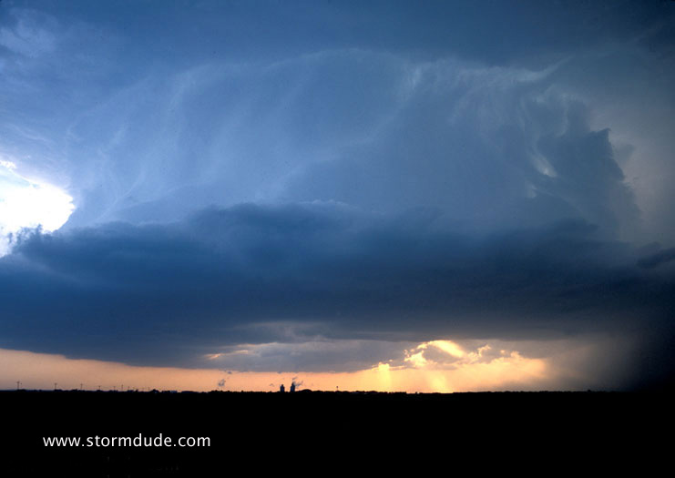
A good view of the updraft. This was a beautiful dryline storm, but not as severe as the tornado-producing storms in north central Kansas and the Texas Panhandle that day (including Happy, Texas). Nevertheless, this is one of my all-time favorite storm photos, which reminds me that the rewards of storm chasing go far beyond tornado sightings.
May 6th:
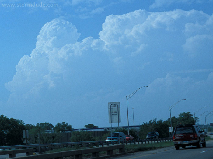
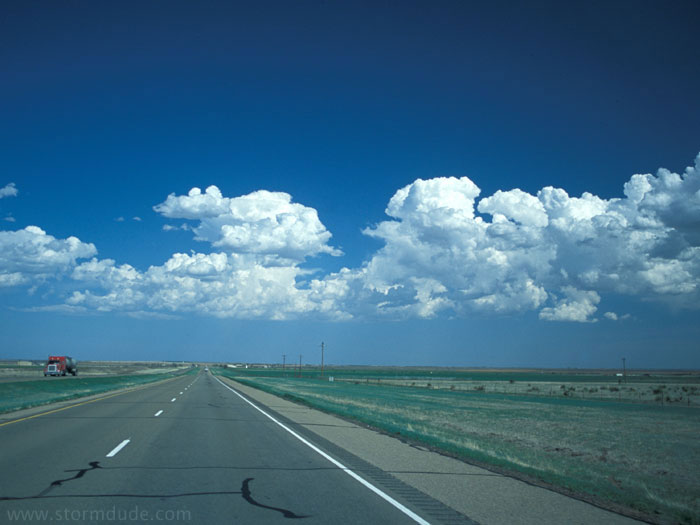
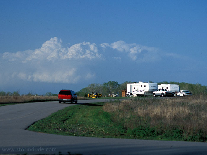
Driving north from Wichita, Kansas, in the middle of the afternoon, towards the triple point. Of course, earlier in the day I had washed my car right under the triple point, which I didn't realize was forming until I had driven an hour south to Wichita and studied the data at a local library.
Twenty minutes later. Strong convection holds a great deal of promise, but dynamics are not that good.
Same thunderstorm, located east of McPherson, Kansas, which is briefly s