June 1st: Southern Kansas Supercells
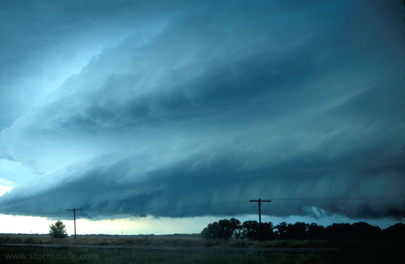
Strongly rotating supercell near Turon, Kansas (west of Wichita). This was a day with numerous supercells lined up across Kansas. Storms were headed southeast under a northwest flow aloft.

A lowering develops just west of Kingman, but then the storm
begins to weaken.
Embedded cell in next storm to the west
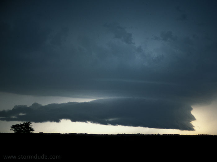
Edge of supercell near Spivey, Kansas. By this time, the storm had veered right and is headed south-southeast.

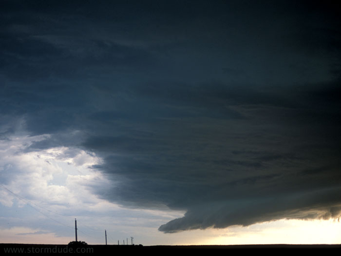
Supercell near Attica, Kansas.

Same supercell, backside, near Hazelton, Kansas.
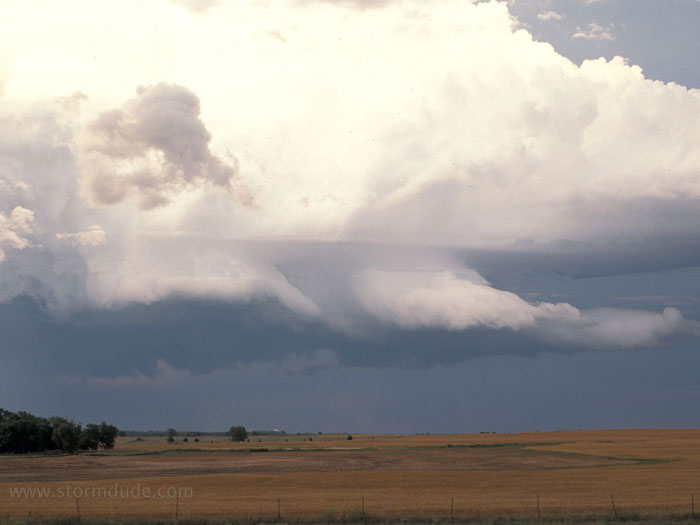
A few minutes later.

Same storm at sunset. This turned out to be a great day of storm chasing, although I am nearing the end of another chase season without seeing a fully developed tornado.
June 5th, 2001: West Texas Storm
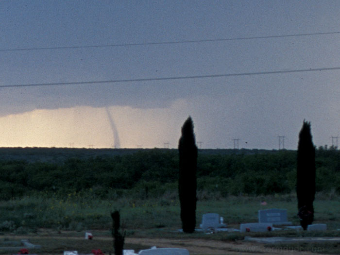
It may not look like much from the photo, but this landspout near Lubbock, Texas is my first good view of a tornado. I watch it from near Matador, as it moves slowly northward and disappears into the rain bands. Damage was reported as F1.
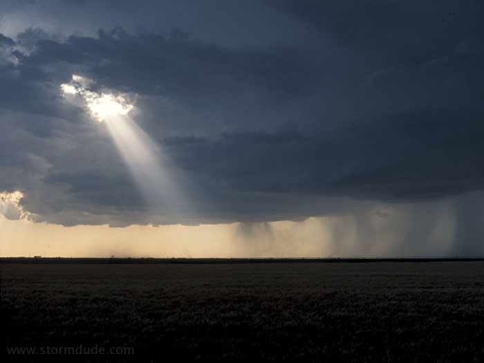
Dying thunderstorm on the last day of my Spring 2001 storm photography trip.
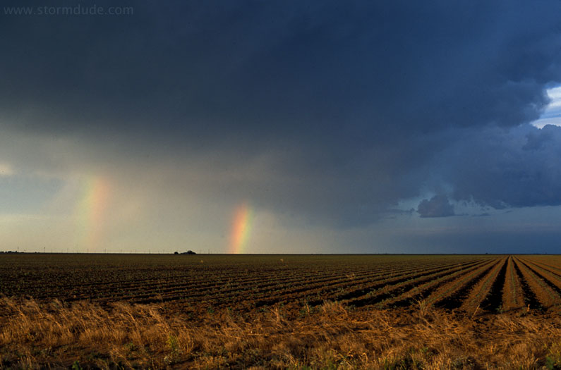
After the storm. Once again, I am reminded of the beauty of the Plains in the spring that will keep me coming back with my camera year after year.