May 15: Vernon, Texas Thunderstorm
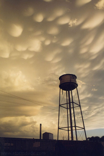
Mammatus from dying thunderstorm on first evening in the Plains.
May 16: Woodward, Oklahoma Storm
After seeing only a thundershower during the day, I watch strong convection after sunset. This view is looking nearly straight up at a line of developing cumulus towers.
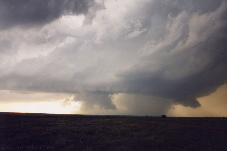
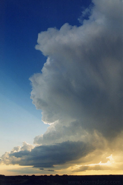
May 20: Alanreed, Texas, supercell
Approaching the storm from the east. Storm motion shifted from ENE to SSE, which delayed my intercept (and caused some other chasers to lose car windows to large hail).
View towards the northwest of the approaching storm.
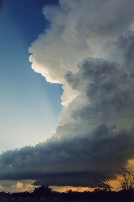
A few minutes later.
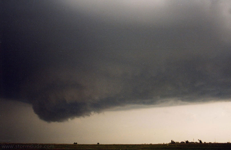
A new lowering forms just to the southeast. A couple of minutes later, I get clipped by the edge of the storm and some marble-size hail.
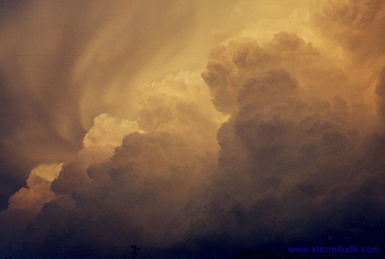
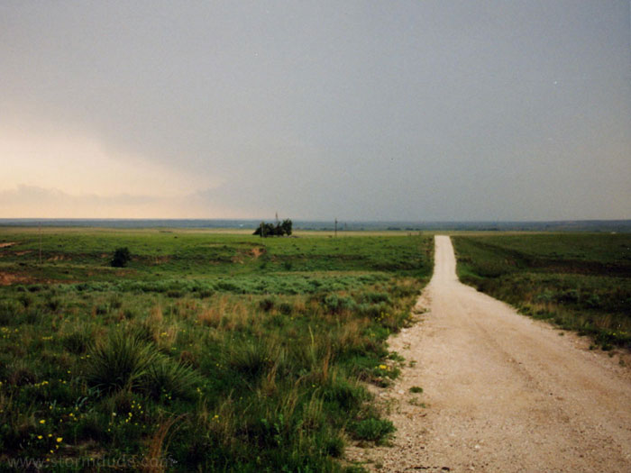
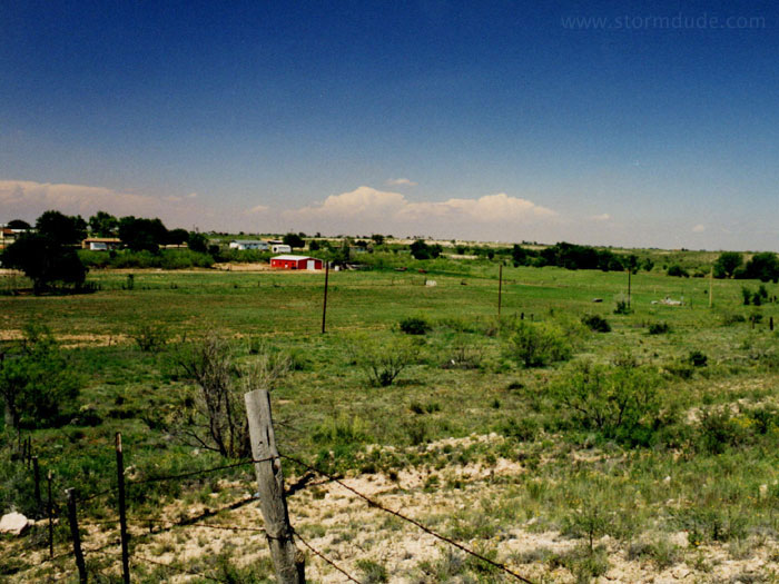
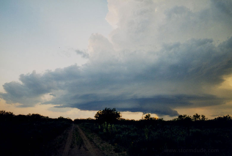
May 24: Boise City, Oklahoma
After three days of no storms, I take an afternoon drive to watch a high-plains thunderstorm.
Another view. Just after this, marble size hail falls.
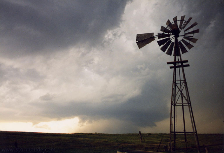
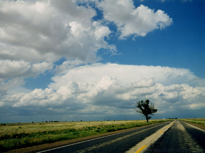
May 25: Kalgary, Texas, supercell
Mid-afternoon convection to the northeast.
A closer look as I approach the growing storm from the west.
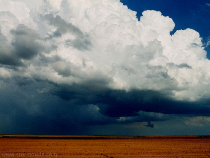
View from just west of the supercell. At this time, baseball size hail is falling on the left side of the picture. A farmer later stopped to show me his broken windshield.
May 25: Jayton, Texas, supercell
A new storm forms in early evening.
The storm develops rapidly.
This small LP storm shows signs of rotation.
A few minutes later.
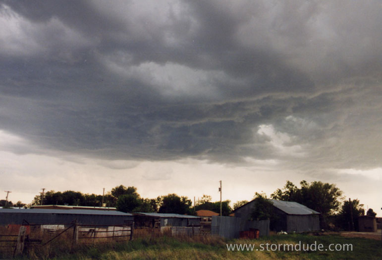
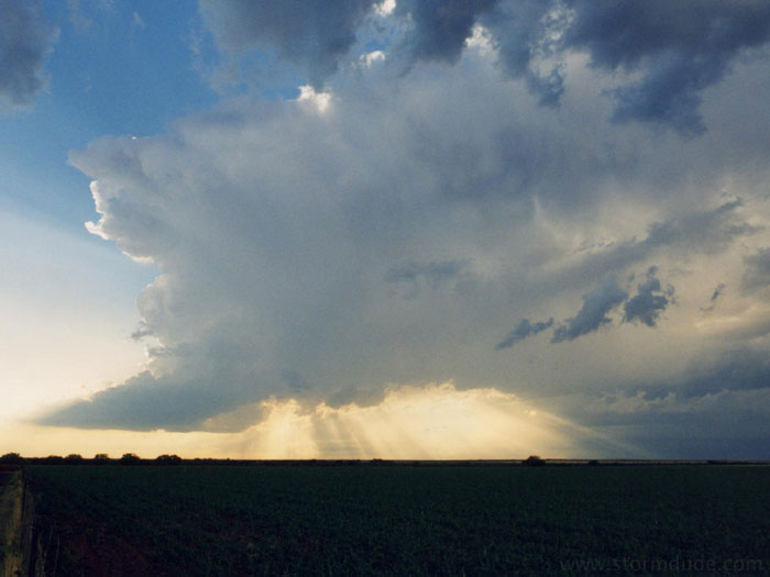
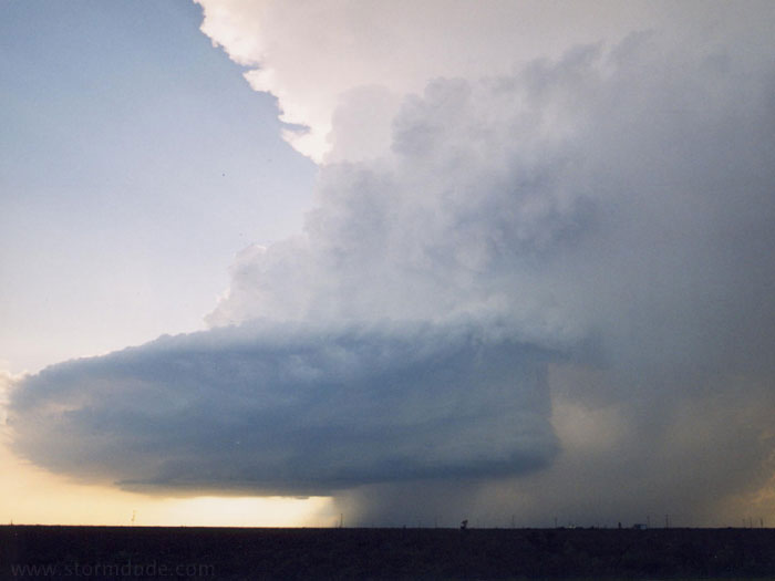
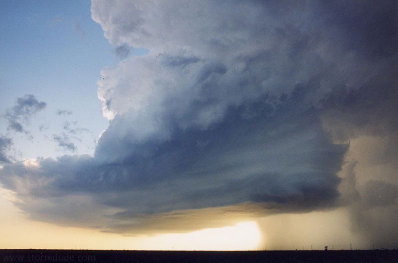
May 26: Odessa, Texas, supercell
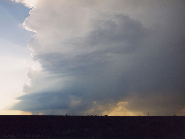
Storm southwest of Odessa.
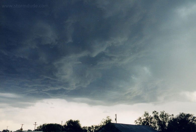
A few minutes later.
A spectacular sight on my last day of chasing.