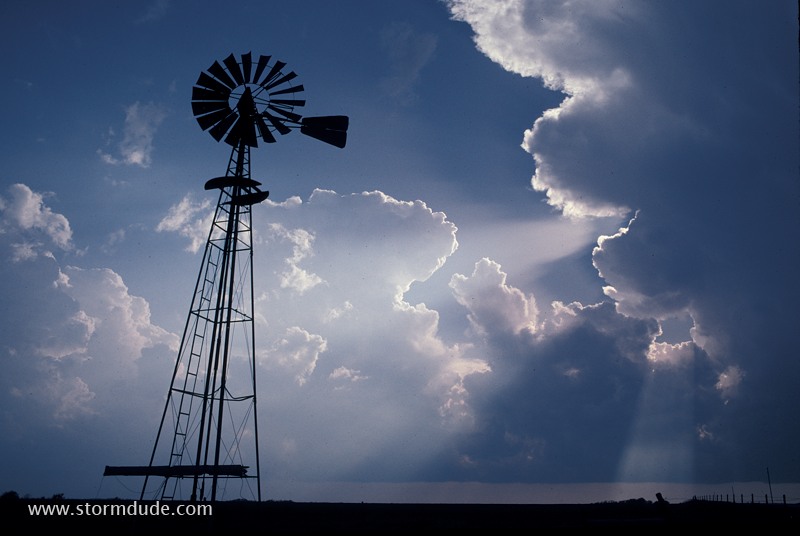
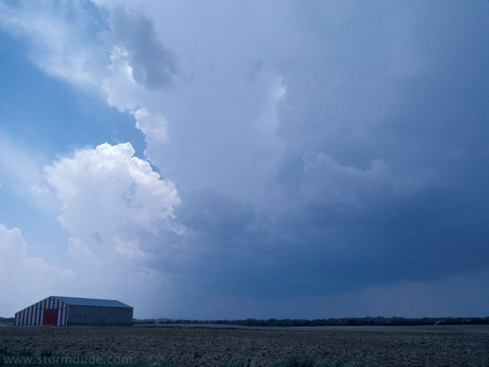
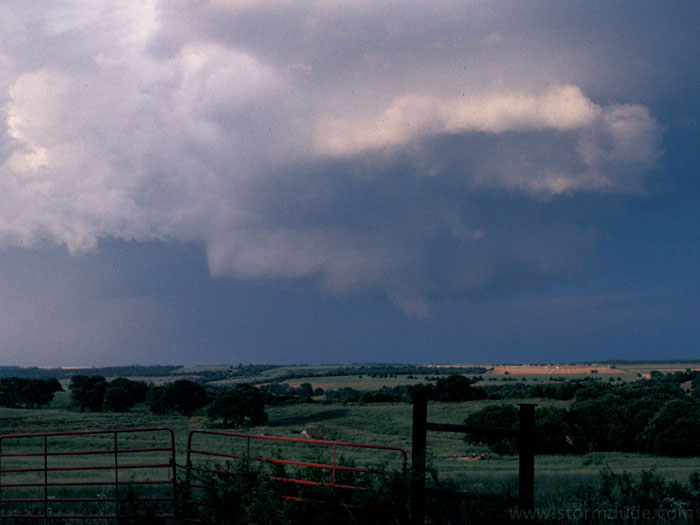
May 11: Northwest Kansas
Strong convection along approaching dryline. After a complete bust during a brief chase vacation in 1997, this is my first real storm of the 1990s. This also represents my return to storm chasing after a 14 year layoff, although my early chase experiences in 1982-83, when I lived in Ft. Worth, were very limited.

View towards north as squall line forms.
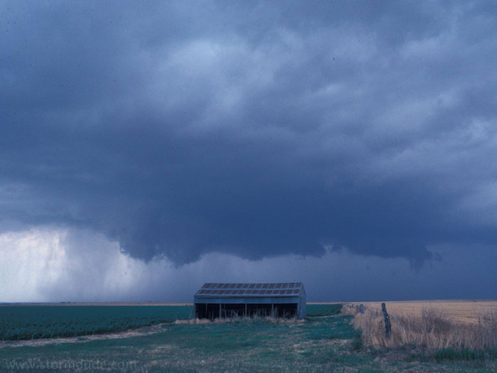
Closer view
View from behind squall line.
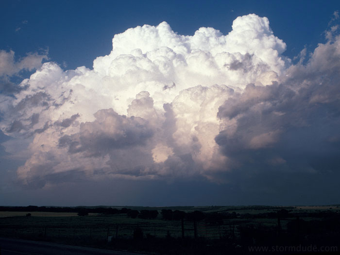
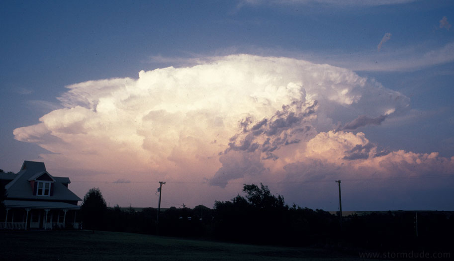
June 8th: Central Oklahoma Supercells
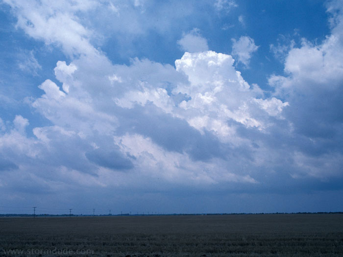
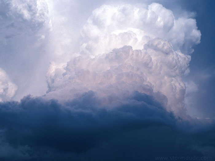
Early afternoon convection.
About half an hour later.
Same storm in mid-afternoon.
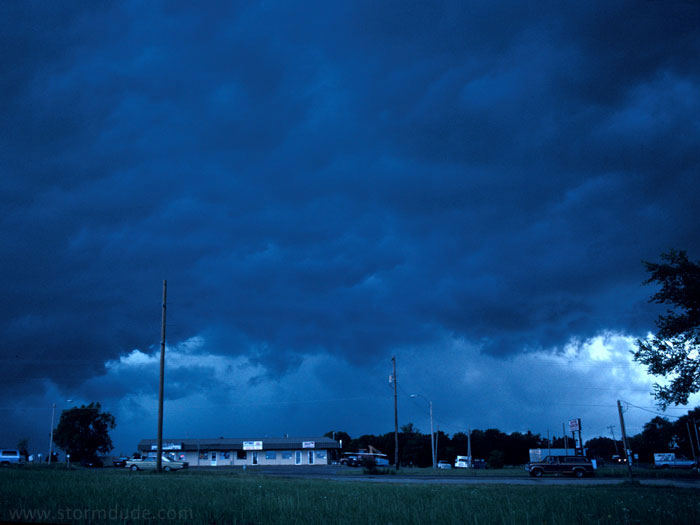
By 3:30 pm, the storm is massive and drops 2.5 inch hail on Oklahoma City. This view underneath a shelf cloud is looking north from just southwest of OKC.
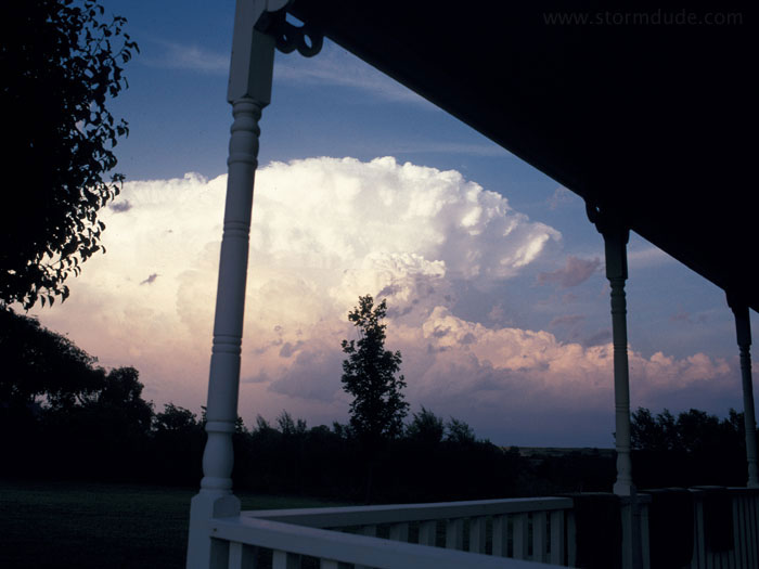
In early evening, a new storm forms a few miles west of Oklahoma City.
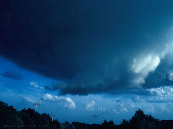
View of wall cloud to the northeast.
The storm continues to develop as it moves northeast.
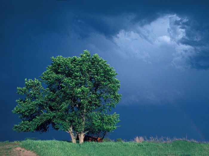
View of mature supercell as it drops 1 inch hail on El Reno.
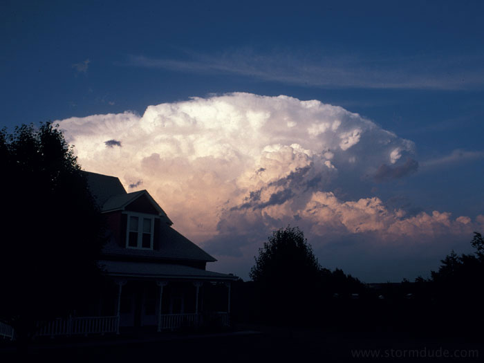
Another view as the storm moves over Oklahoma City.
My final storm of a brief chase season, but I am glad to be back on the Great Plains, finding and photographing supercells.