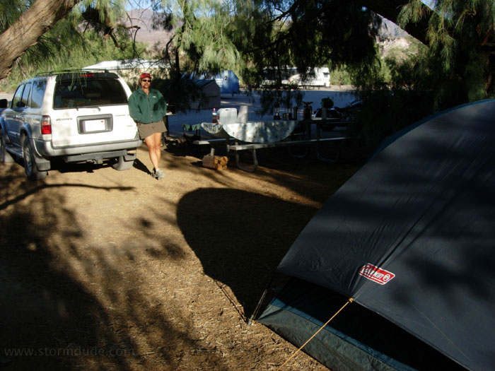
Our cozy campsite at Furnace Creek Campground. We arrived late Monday afternoon before Thanksgiving.
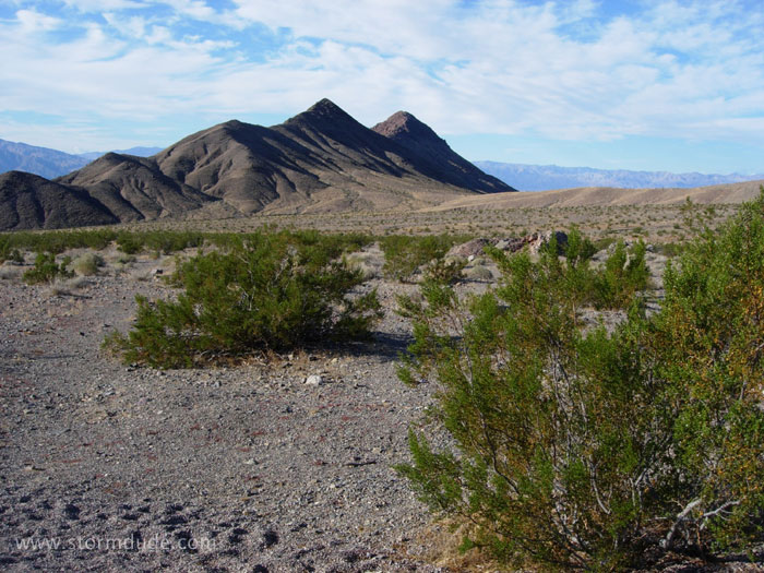
Leaving Hell's Gate, elevation 2,262, to head for Death Valley Buttes. Partly cloudy, mid-60s. Perfect hiking weather.
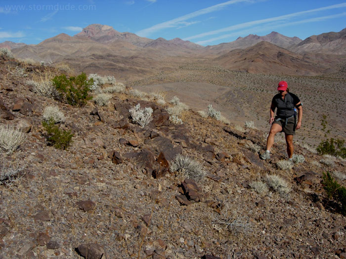
Finding our own trail across rocky slopes.
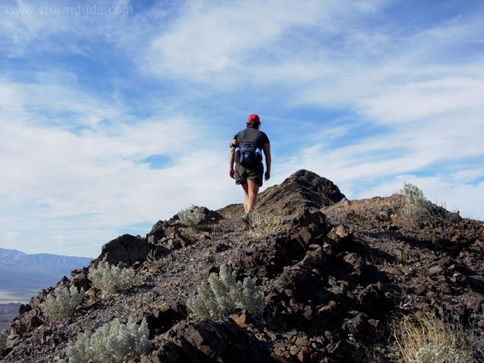
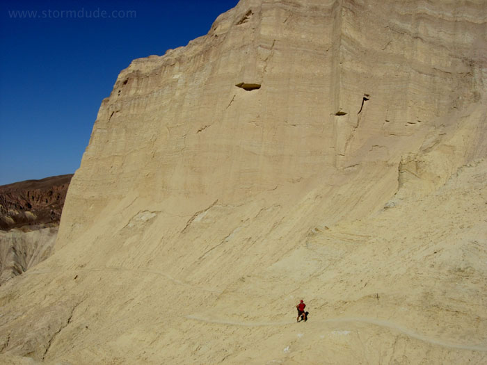
After a 500-foot climb, we near the top of the southernmost butte. Several sections are steep, narrow and slippery (think gravel on a steep concrete slope). At one point, we hike along a ledge and hold onto rocks for balance. Definitely not a beginner's hike.
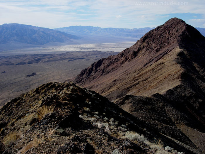
Great views looking south towards Furnace Creek and Badwater.
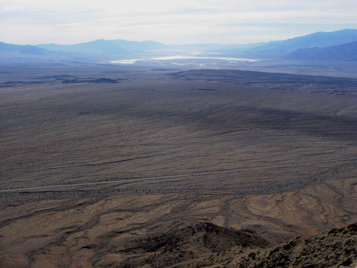
The other Death Valley Butte is on the right. In the distance are Stovepipe Wells, Burned Wagons Point and Devil's Cornfield (who named these places?).
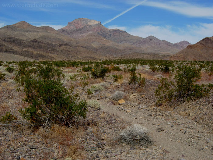
View of Corkscrew Peak during our hike across an alluvial fan and back to our car.
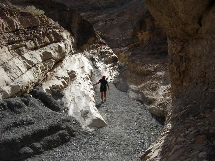
After lunch, we start hiking up Mosaic Canyon, near Stovepipe Wells.
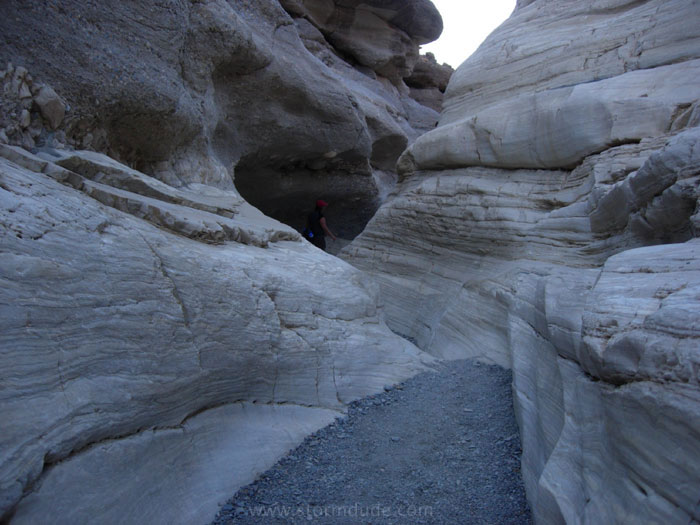
Slick marble walls in the narrows.
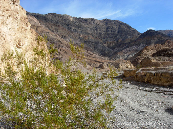
Dry streambed further up the canyon.
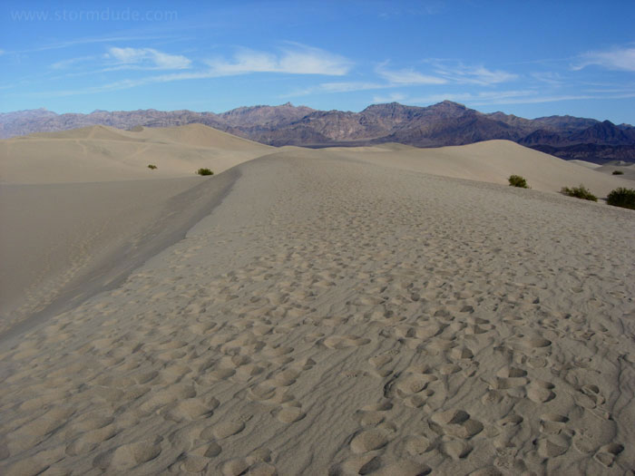
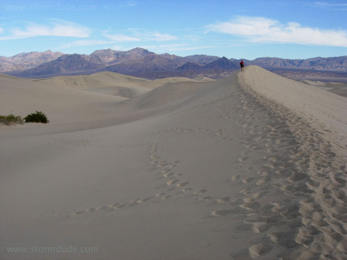
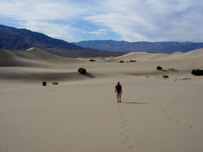
The next morning, we head across Mesquite Flat Sand Dunes.
Heading east, towards Death Valley Buttes.
This wouldn't be too fun on a typical 120-degree summer day. The hottest temperature ever recorded in the Western Hemisphere was in Death Valley on July 10, 1913: 134 degrees.
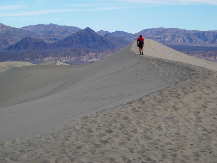
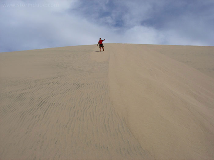
Pam hiking up a large sand dune. Grapevine Mountains are in the background.
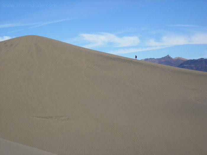
At the top of the highest sand dune.
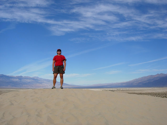
View looking south.
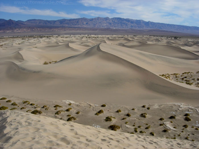
Giant steps and lots of sliding on the way down.
Great photo, Pam!
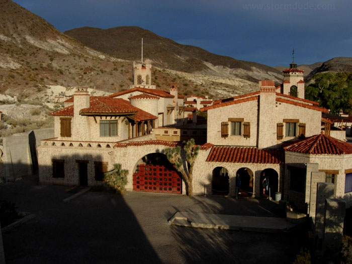
Okay, this isn't a hike, but Scotty's Castle is a bizarre story... click here for more. .
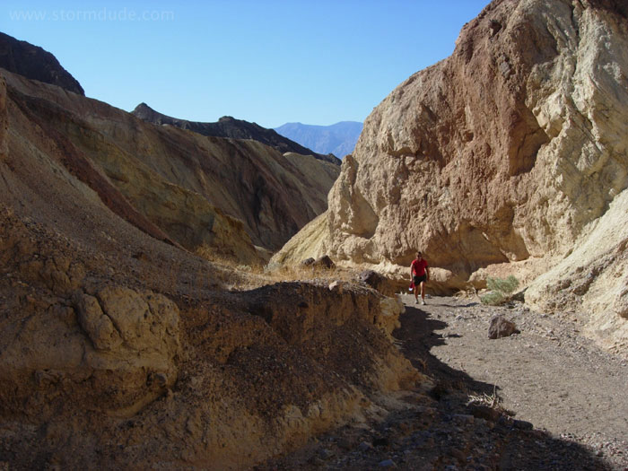
Thanksgiving morning, hiking up Golden Canyon (after our hike, we had a turkey dinner at Furnace Creek Inn).
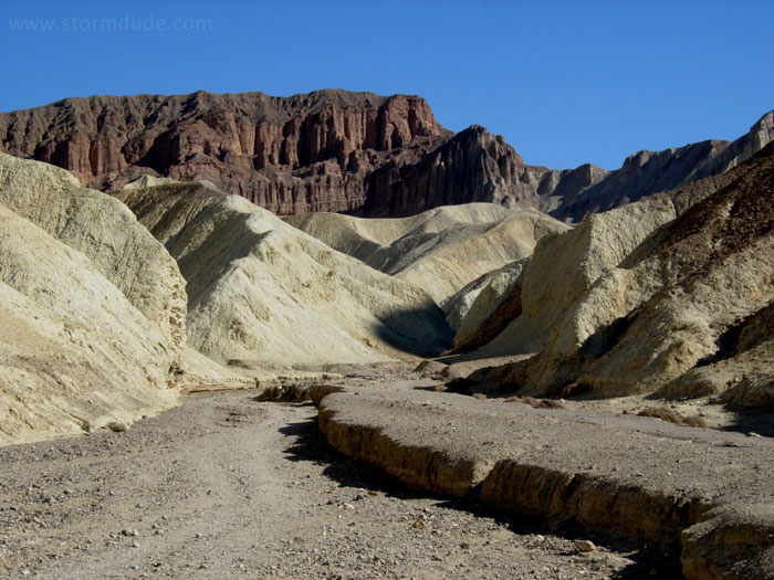
Looking up the canyon towards Red Cathedral.
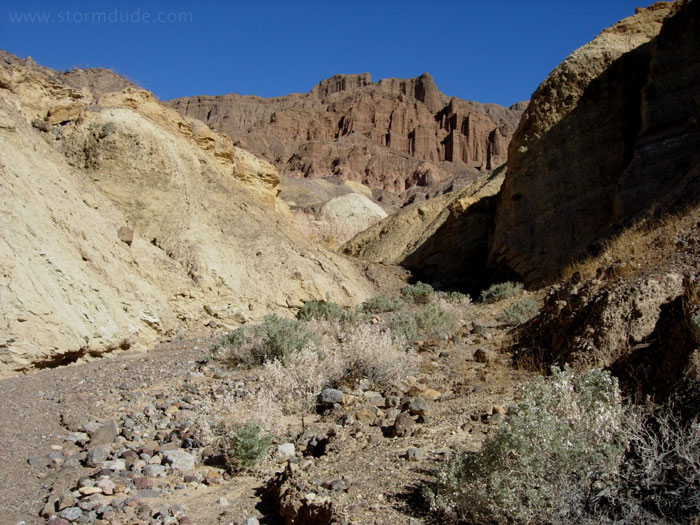
Side trip up a small wash.
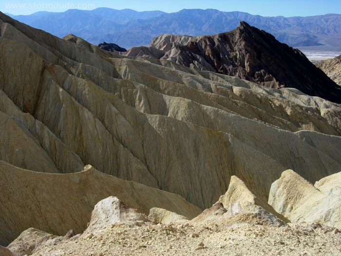
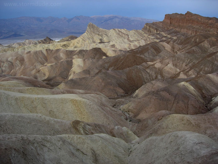
Take old lakebed soils, add volcanic ash, move things around with earthquakes, then a little erosion...the result is quite astonishing.
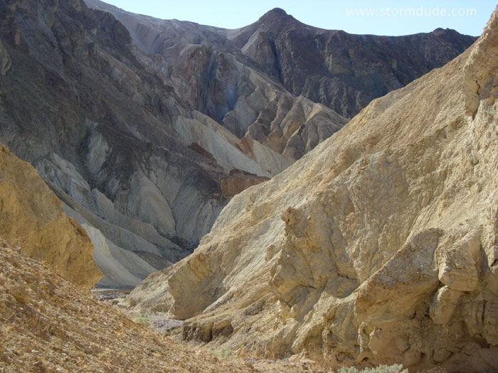
Climbing up the Zabriskie Point trail.
At the foot of Manly Beacon (in 1849, William Manly rescued three familes, stranded and lost in Death Valley, who had been among a group of gold seekers who made an ill-fated attempt to cross this barren land).
View towards the west.
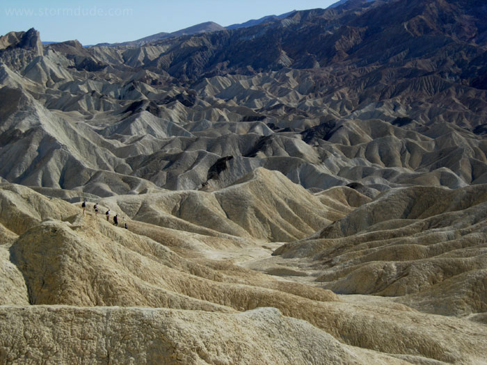
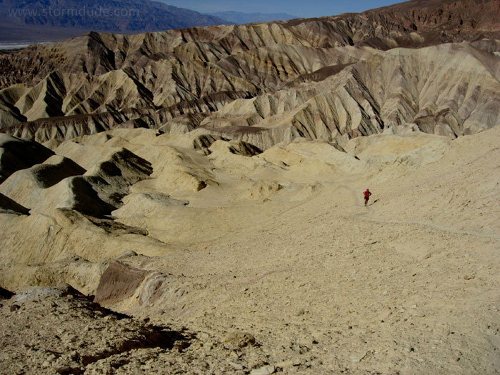
Hiking on Mars (at least, that's what it seems like).
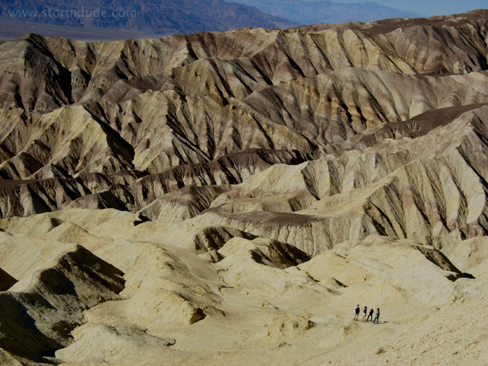
The views are spectacular and bizarre at the same time.
View from Zabriskie Point.
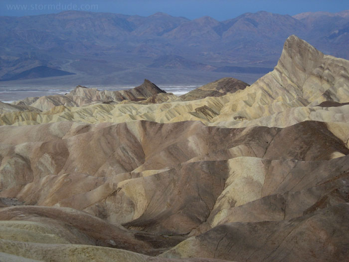
This is awesome enough for another picture.