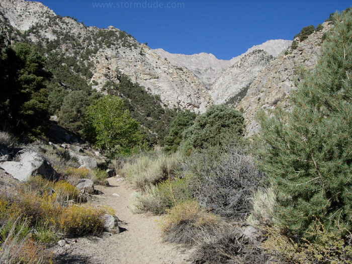
Early morning start from a remote trailhead at 6,300'. We are fortunate to encounter an early September cold snap on this tough climb out of the high desert.
Up the canyon towards our first night campsite at 9,100' (Mahogany Flat). With a 500' drop along the way, this is a grueling first day with full backpacks.
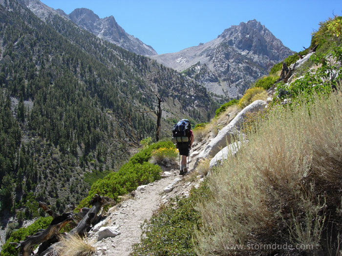
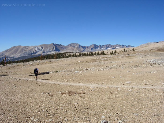
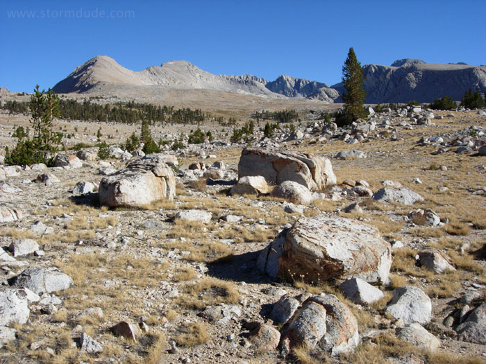
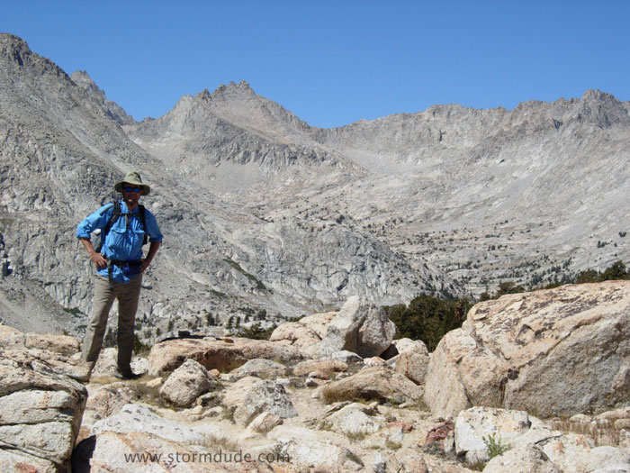
Above tree line the next morning.
Approaching 12,000' Shepherd Pass, a total climb of 6,200' from the trailhead, one of the toughest in the Sierras (especially during hot weather, which we avoided).
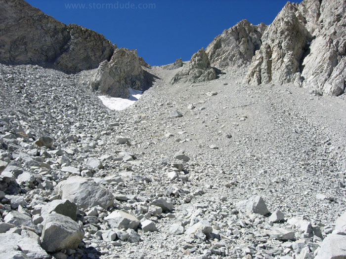
Snow fields can make the approach to Shepherd Pass treacherous earlier in the summer.
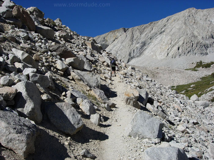
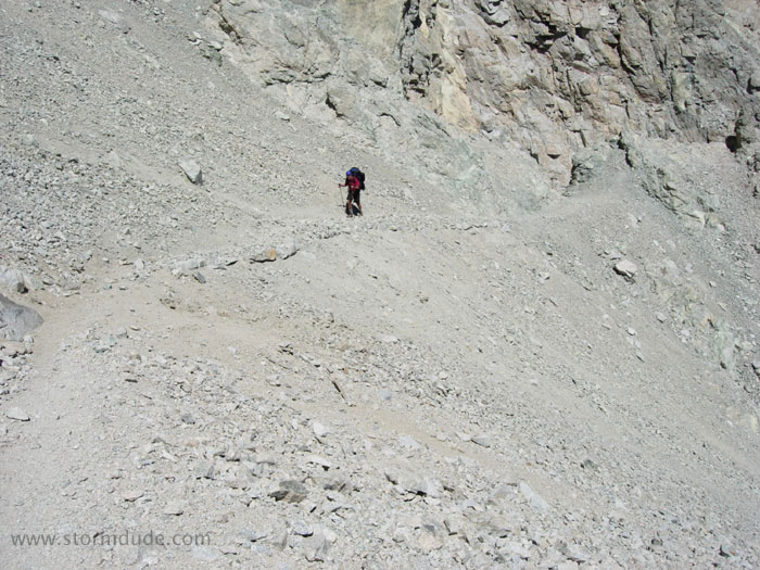
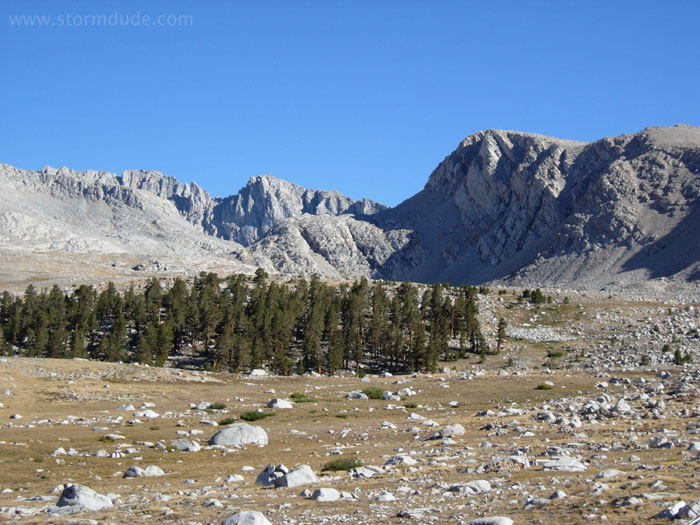
Clear all the way to the top.
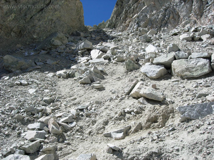
The trail is very narrow in spots, though not dangerous if you're paying attention.
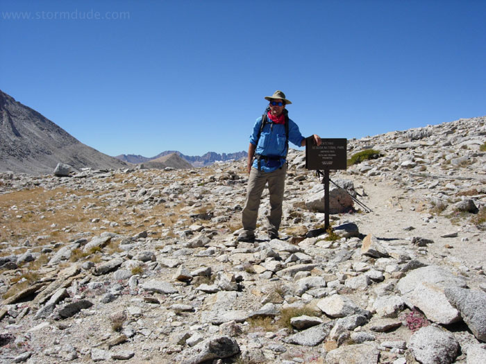
On Shepherd Pass, with a real sense of accomplishment.
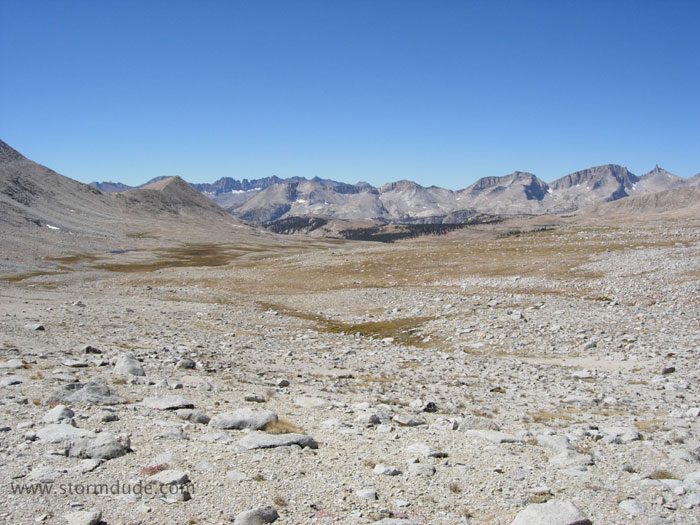
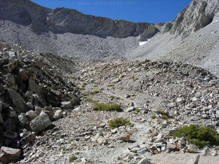
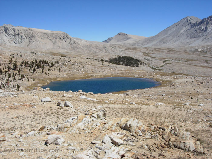
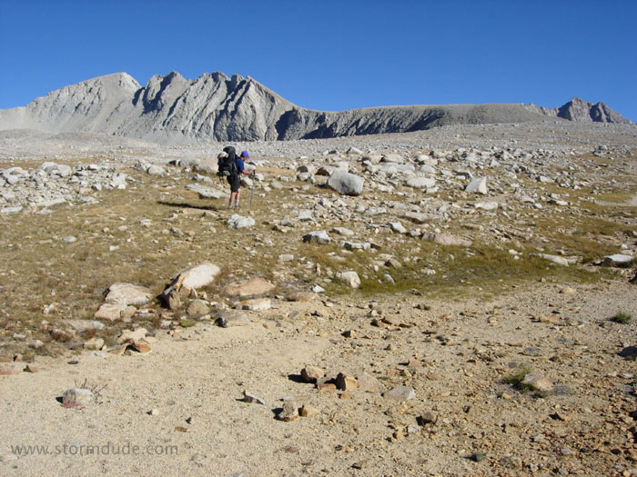
The other side of the pass opens into a broad basin.
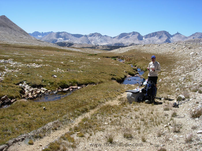
Lunch along Tyndall Creek a little below Shepherd Pass. We soon leave the trail for the cross-country portion of our trip.

Approaching Rockwell Pass. A noteworthy tornado occurred here only two months earlier: the highest elevation tornado ever recorded in the U.S. (we learned of it after our trip; I just happened to take a photo from an identical position).
Photos and a summary of the tornado can be found here:
Rockwell Pass Tornado
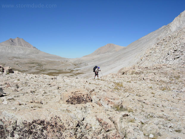
Crossing 12,000' Rockwell Pass, with Shepherd Pass in the distance.
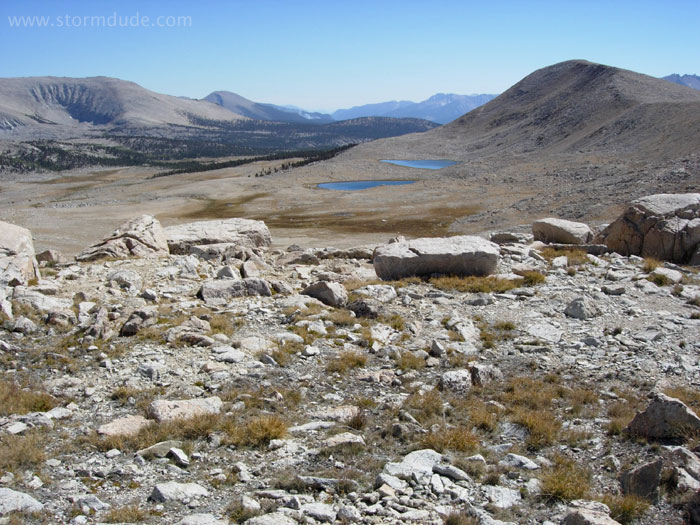
Expansive view looking south from the pass across the Wright Lakes basin. A small fire is burning in the distance.

Barren 14,000-foot peaks provide a magnificent backdrop to the Wright Lakes. We find a comfortable campsite in a cluster of trees not far from here.
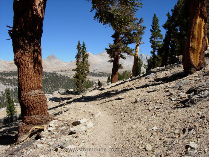
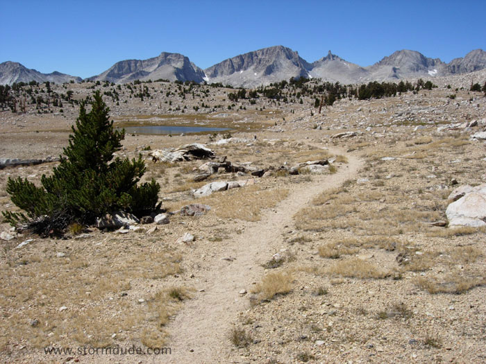
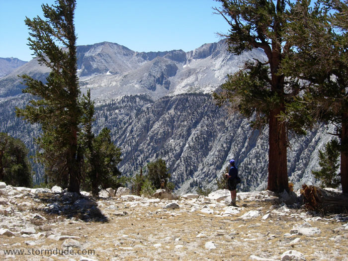
Back on a trail the next morning, we're treated to nearly continuous views of the jagged peaks west of the upper Kern River.
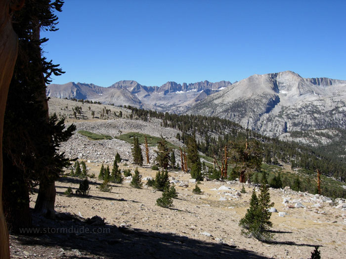
One of many exotic views.
Heading north along the John Muir Trail. We see very few backpackers in this remote part of the Sierras.
View towards the west. We soon arrive at a comfortable campground a little south of the Shepherd Pass trail-John Muir Trail intersection.
Continuing north the next morning.
We set up a campsite in these woods further up Tyndall Creek before beginning a day hike to explore the upper Kern River area.
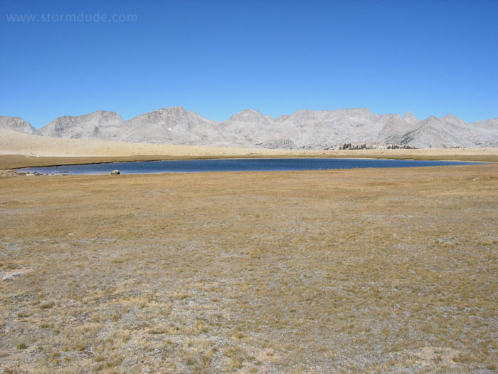
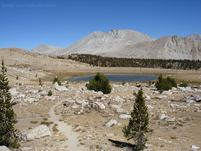
One of the small lakes in the upper reaches of the Kern River.
Headed west towards the Great Western Divide.
We reach the edge of the plateau above the Kern River.
Looking down the Kern River canyon.
Heading back to our campsite.
Early departure to go back over Shepherd Pass.
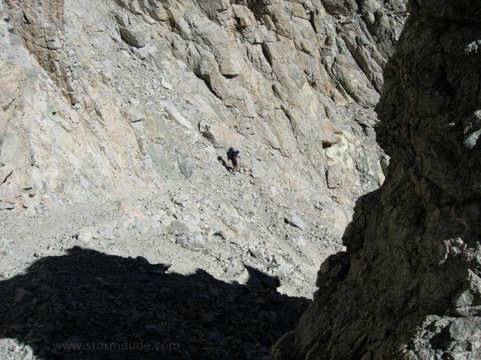
Rugged terrain down the east side of the pass.
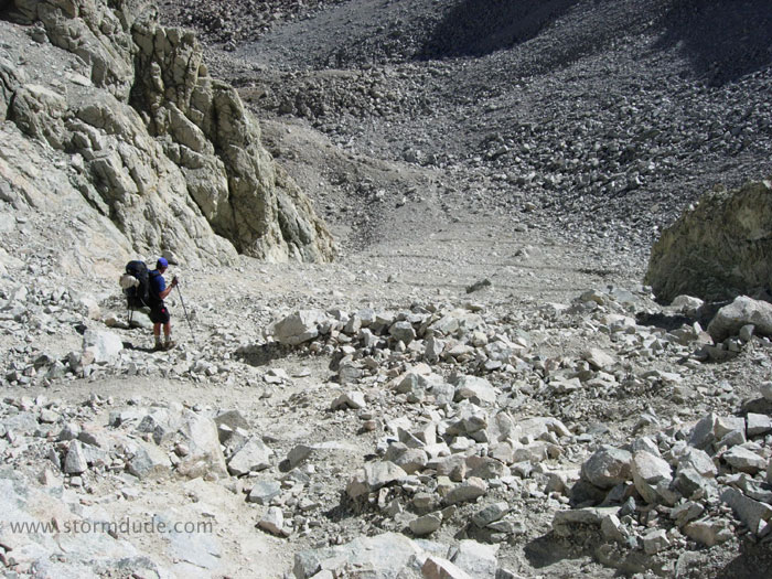
A very steep descent.
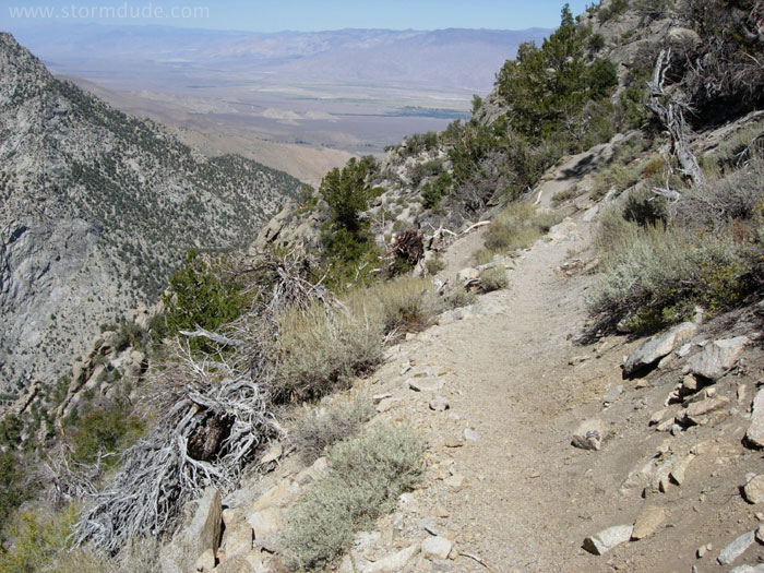
The lure of a good meal keeps us going all day.
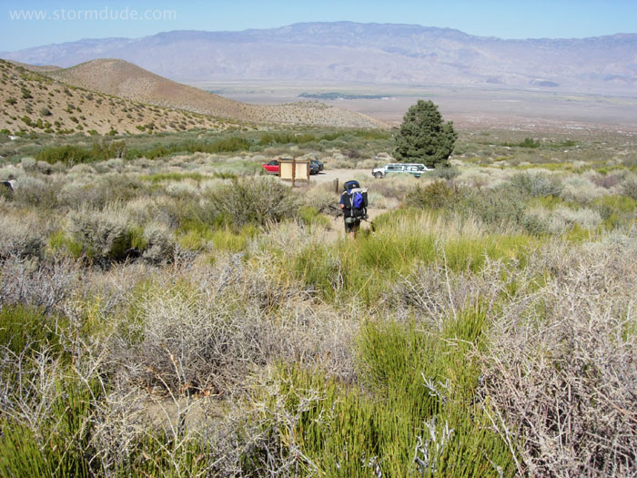
Back to the trailhead after a memorable trip to remote Sierra Nevada high country.