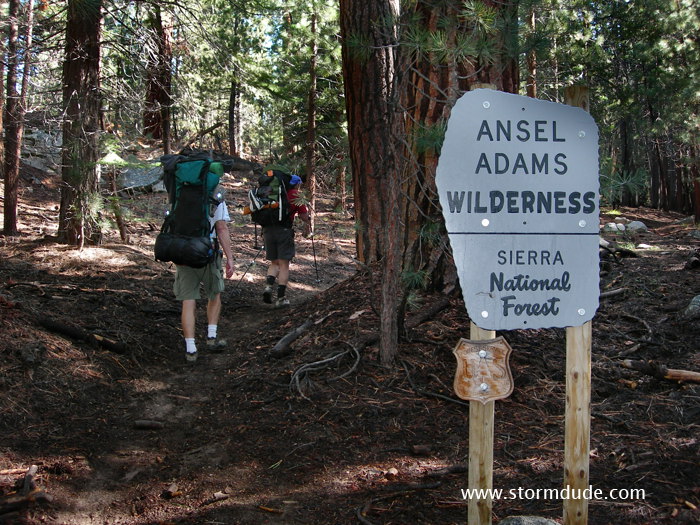
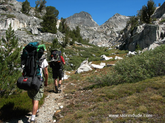
Steve, Mike and I set off from the Goodale Pass trailhead near Vermillion Resort, elevation 7800'.
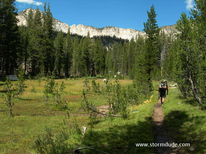
Entering Graveyard Meadows. The weather was cool and the usually dusty trail was still damp from two days of rain. We gain 1500' during a 6.5-mile hike on the first day and spend the night at Upper Graveyard Meadows at 9300'.
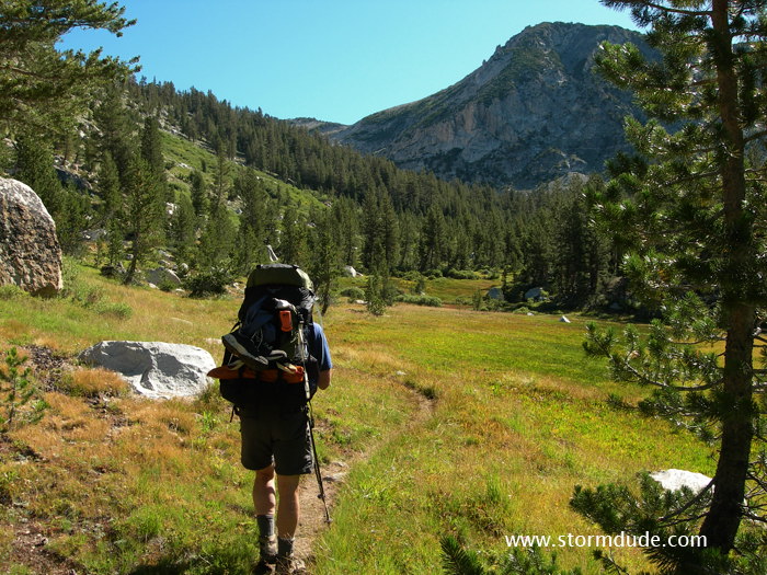
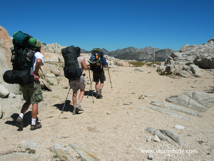
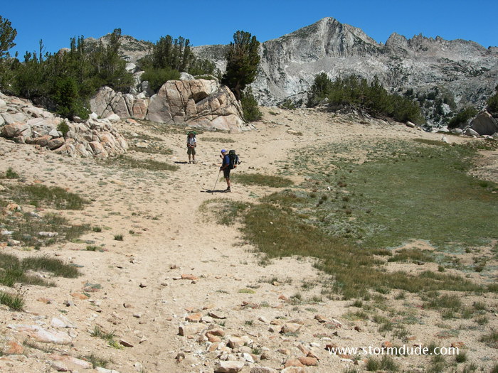
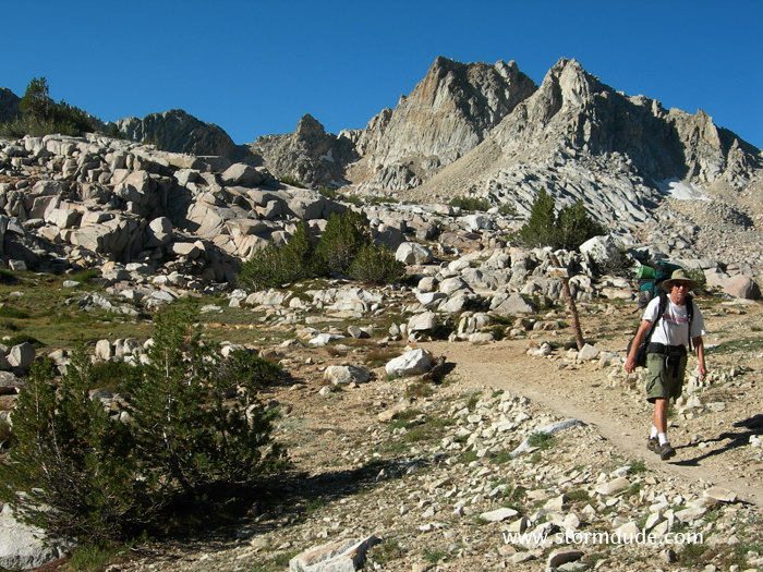
On our way to Goodale Pass the next morning.
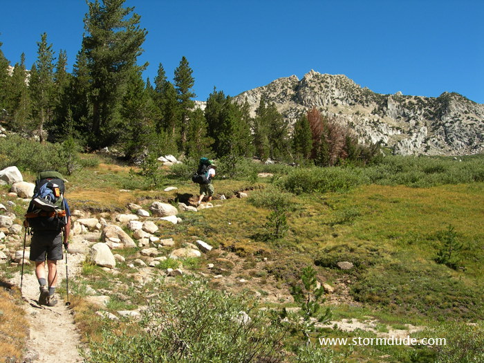
View improves as we climb over 10,000'.
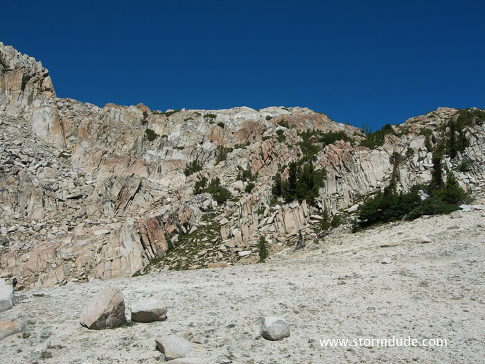
Final climb to the pass.
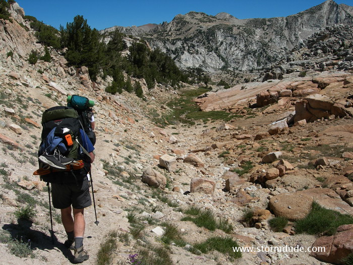
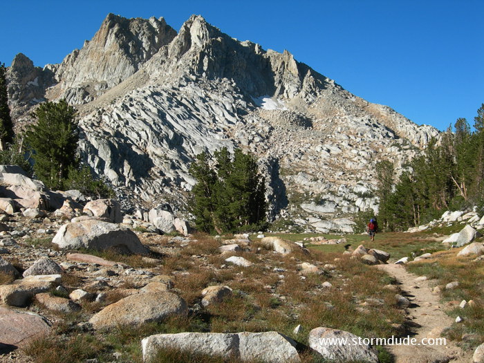
Vista back towards the south.
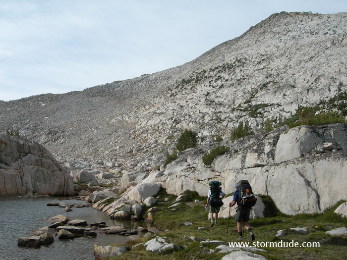
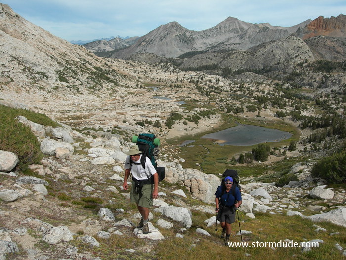
Reaching the pass (together with another backpacker who joined us for a while) at 11,000', a 1700' gain.
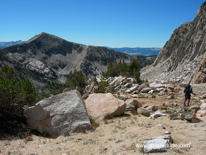
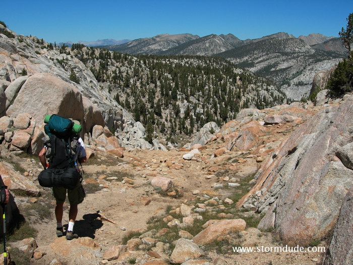
Descending on the north side.
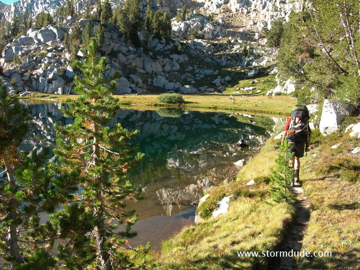
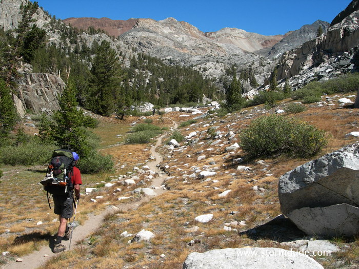
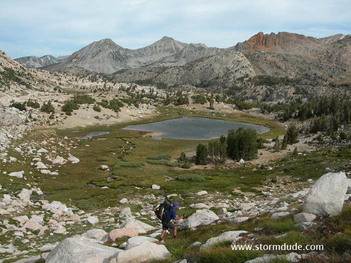
High Sierra scenery as we follow the trail northeast towards Lake of the Lone Indian.
We turn left for the shortcut to Lake of the Lone Indian.
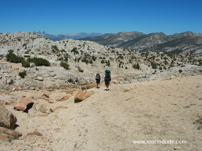
Great view as we descend.
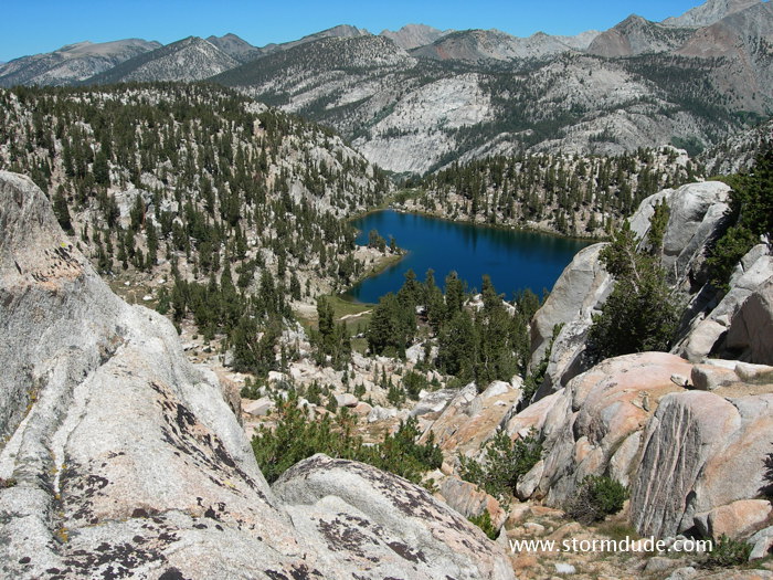
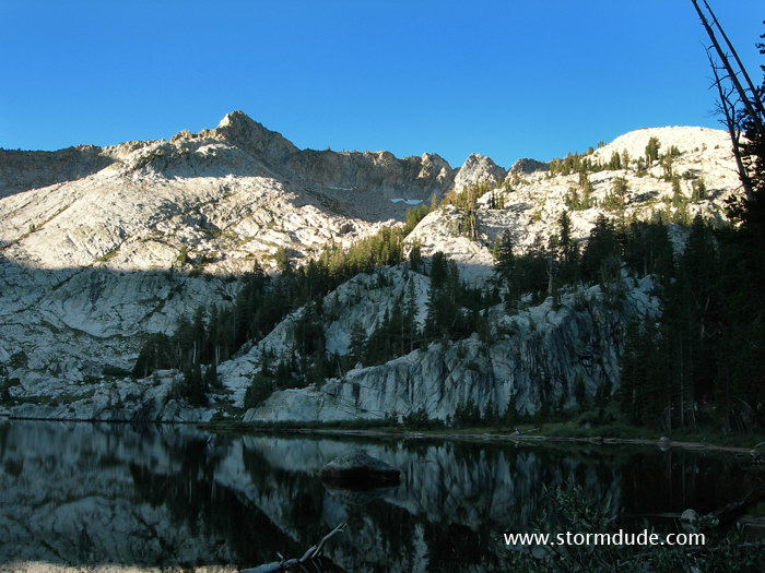
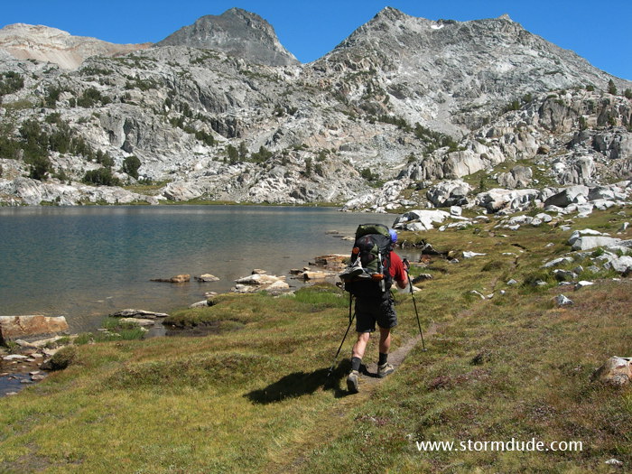
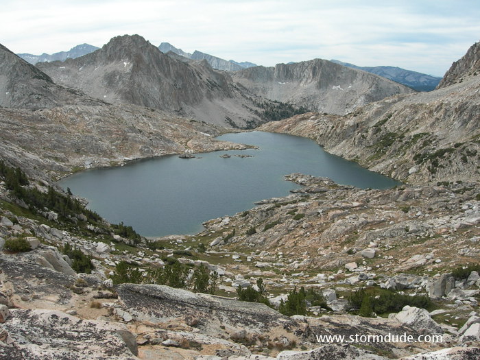
Looking down at Lake of the Lone Indian.
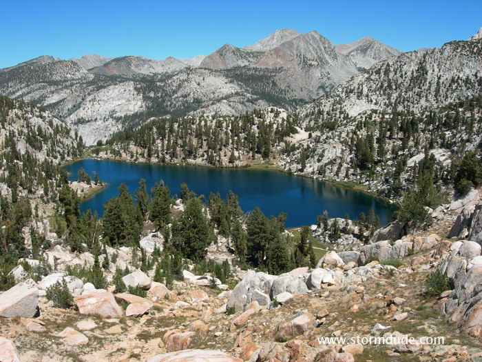
Classic Sierra view.
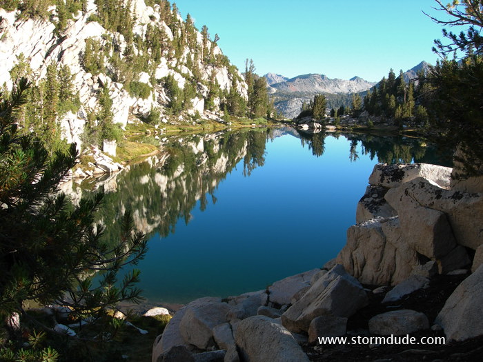
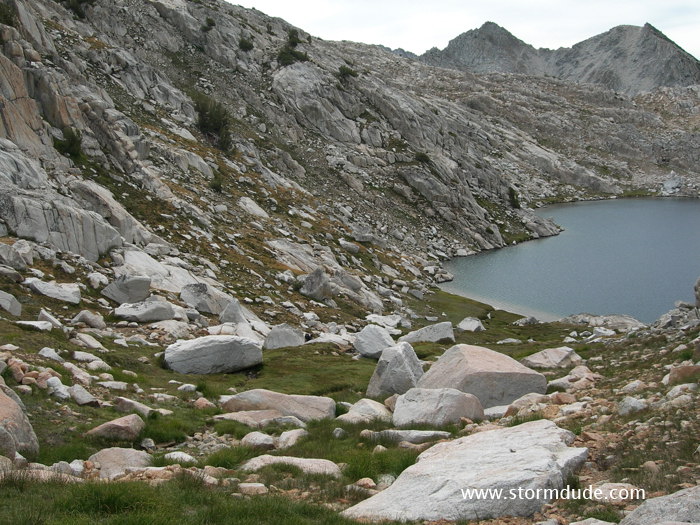
First shortcut down to the lake. We hike a little further before dropping down to have lunch.
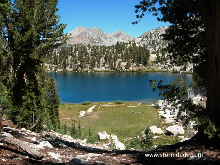
Serene setting.
After lunch we hike over a 300' hill on our way to Wilber May Lake for the night.
Wilber May Lake at sunrise the next morning.
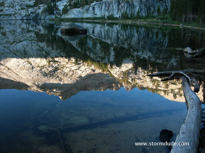
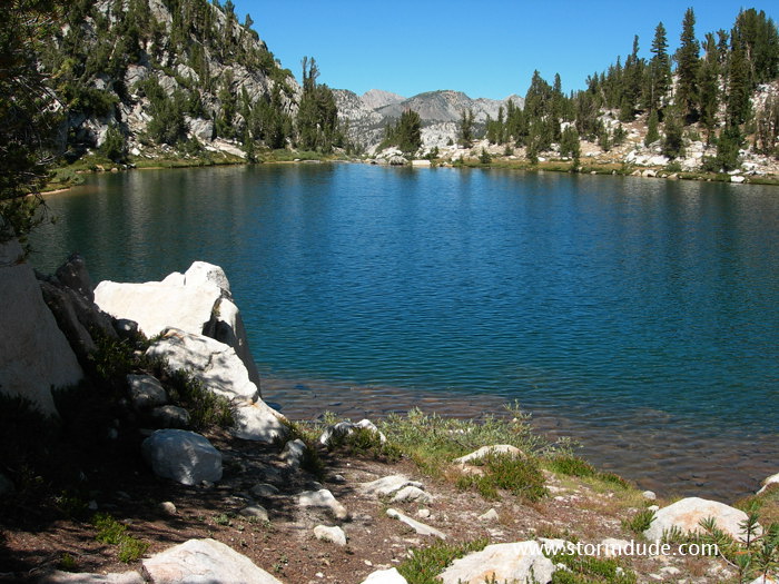
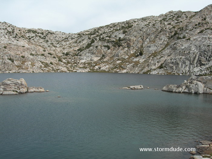
Reflection on a calm morning.
Back to Lake of the Lone Indian for the night. This shortens the following day's hike.
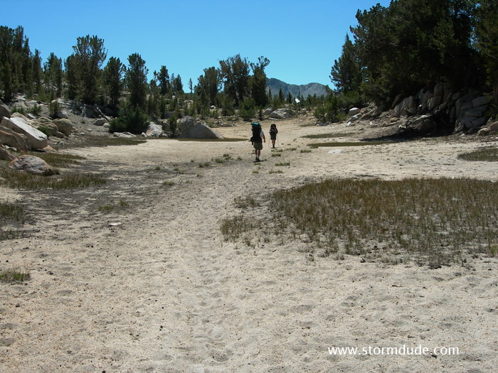
Early start for a long day.
Above Papoose Lake.
At the John Muir Trail intersection.
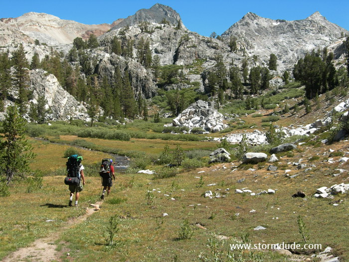
More amazing scenery on the way towards Squaw Lake.
We make a long descent to about 9000' then climb back to 10,300'.
On the McGee Pass trail.
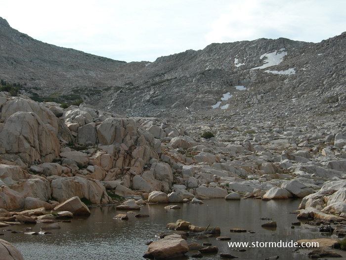
Remote Tully Lake in the High Sierra.
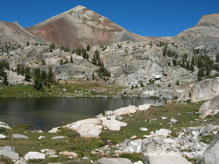
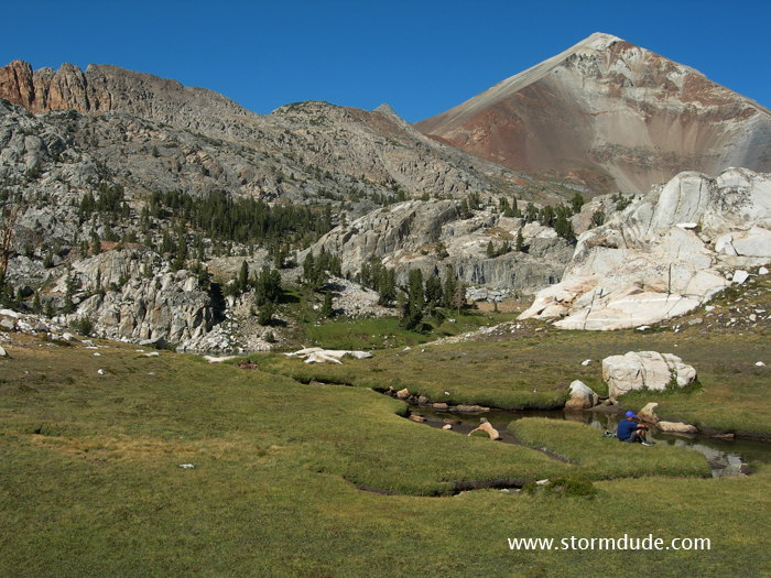
Spectacular Red Slate Mountain (13,156').
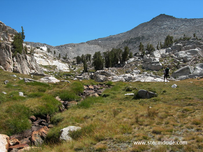
Climbing to the benches above Tully Lake.
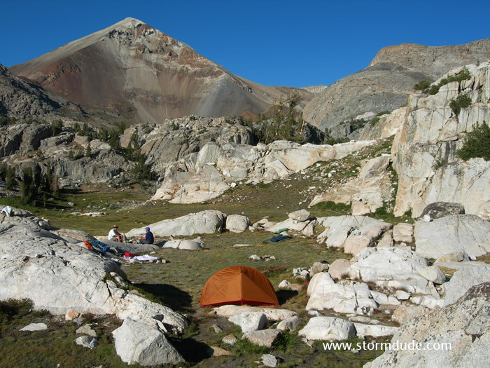
Fantastic campsite above Tully Lake.
Relaxing in the meadow just below our campsite.
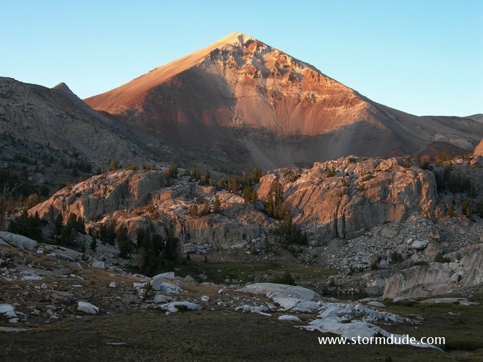
Red Slate Mountain at dusk.
We leave early the next morning for the cross-country portion of our trip.
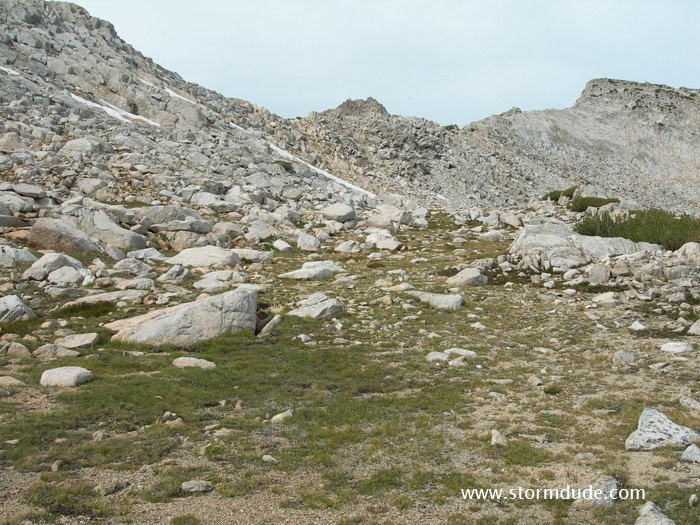
Several routes lead to two cross-country passes above Tully Lake.
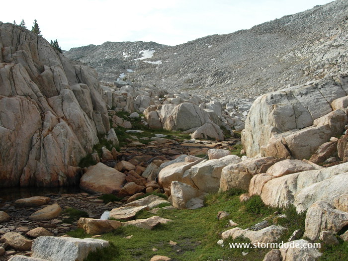
Fun and easy trail finding.
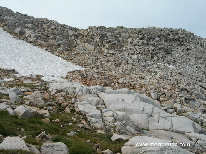
Shout-of-Relief Pass is just left of center and Rohn Pass is just right of the largest snow field.
Looking back to the north.
Great views on the way up.
We head towards Shout-of-Relief Pass before traversing a bench towards the west.
We head for a small notch just left of the center.
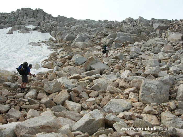
Crossing talus for a short distance before scrambling up a narrow chute.
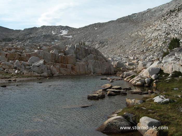
Looking south from Rohn Pass (approx. 11,200') across Bighorn Lake.
West side of the lake is impassable so we head down to the east side. The granite slabs are easiest to cross about 30' above the lake.
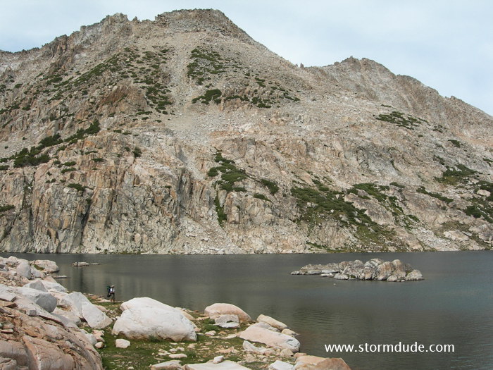
Enjoying the barren ruggedness of Bighorn Lake.
Looking back north towards Rohn Pass. Nothing too difficult on this cross-country route, especially since this is at the end of the trip when our packs are lighter and we are fully acclimatized.