Day 1: Devil's Postpile to Fern Lake
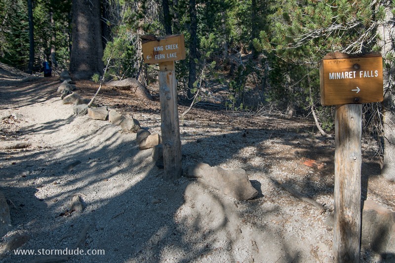
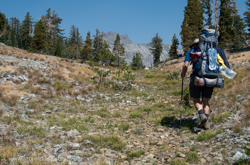
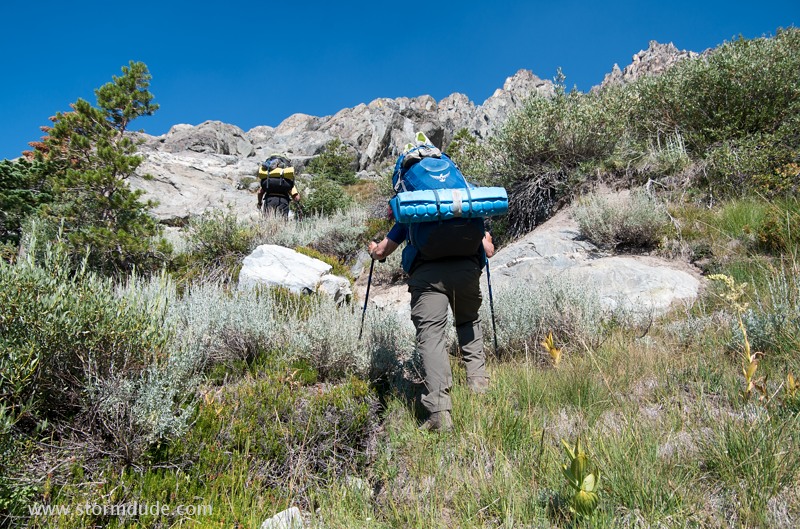
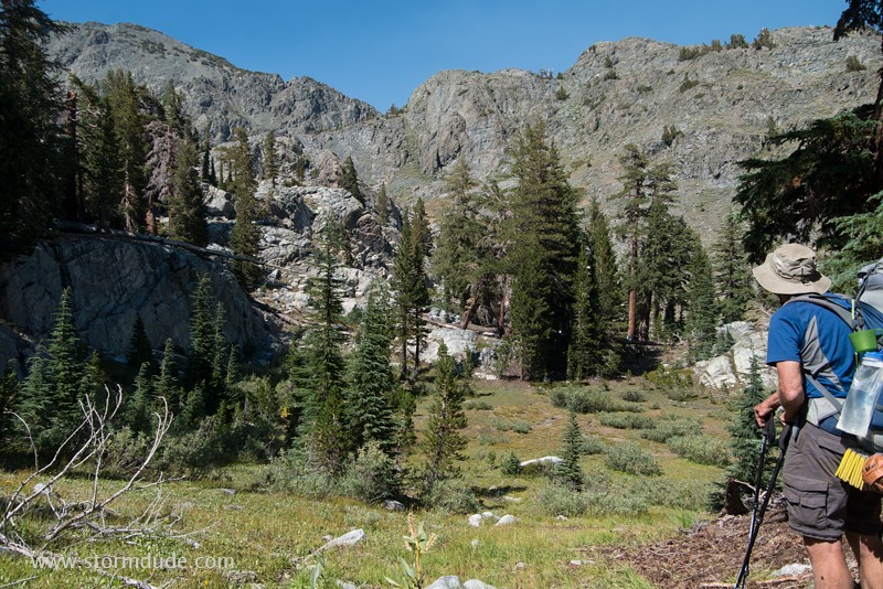
After leaving from the trailhead at Devil's Postpile National Monument, we are on our way into the backcountry of the Sierras.
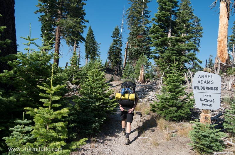
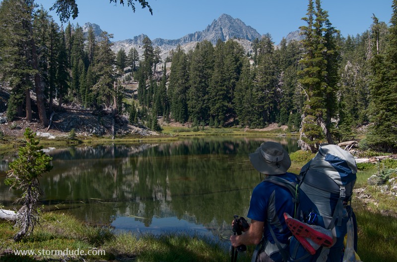
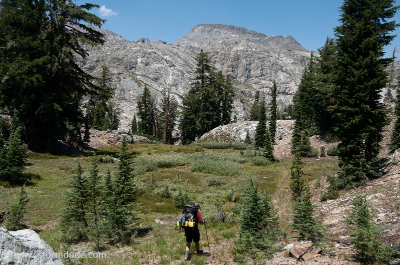
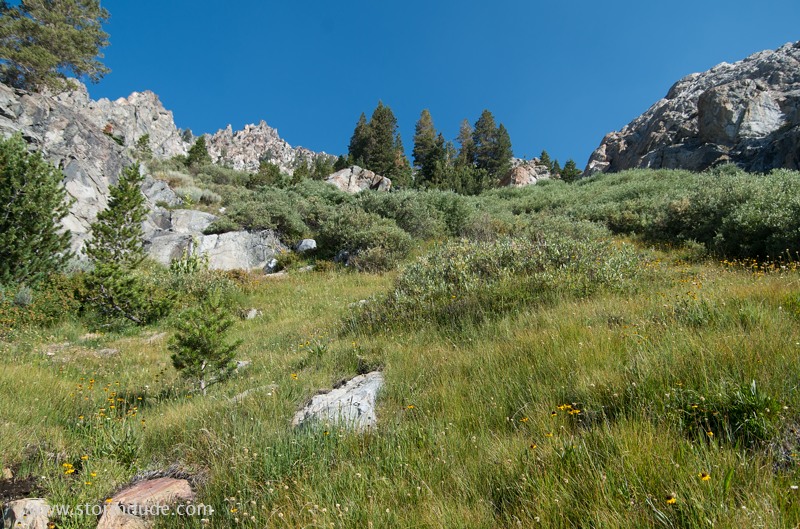
The six-mile trail to Fern Lake rises 1200 feet out of the valley carved by the Middle Fork of the San Joaquin River.
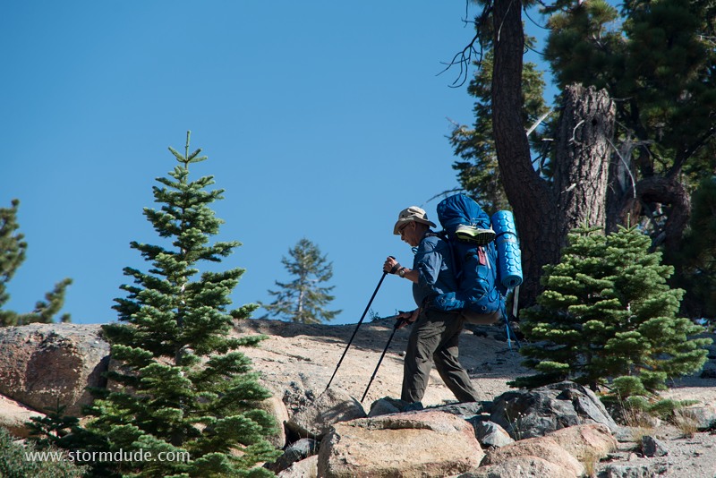
A pleasant mountain trail leads to King Creek and numerous lakes of the Ritter Range.
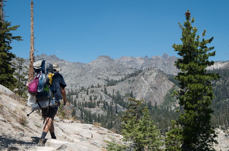
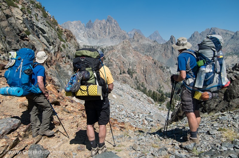
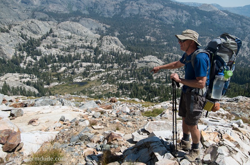
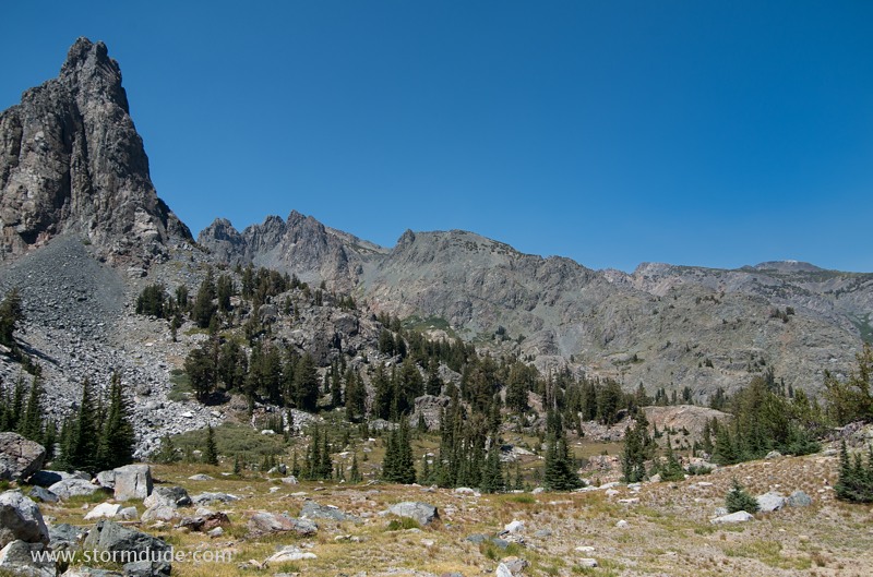
By noon we are enjoying views of the Ritter Range.
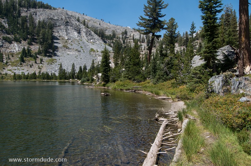
Fern Lake at 8800 feet, our campsite for the night.
Day 2: Cross-country to Ashley Lake and Superior Lake
The next morning we head towards Anona Lake. Soon we will turn north-northeast, on the way to Gertrude Lake, as part of our two-day high-country shortcut from Fern Lake to Minaret Lake.
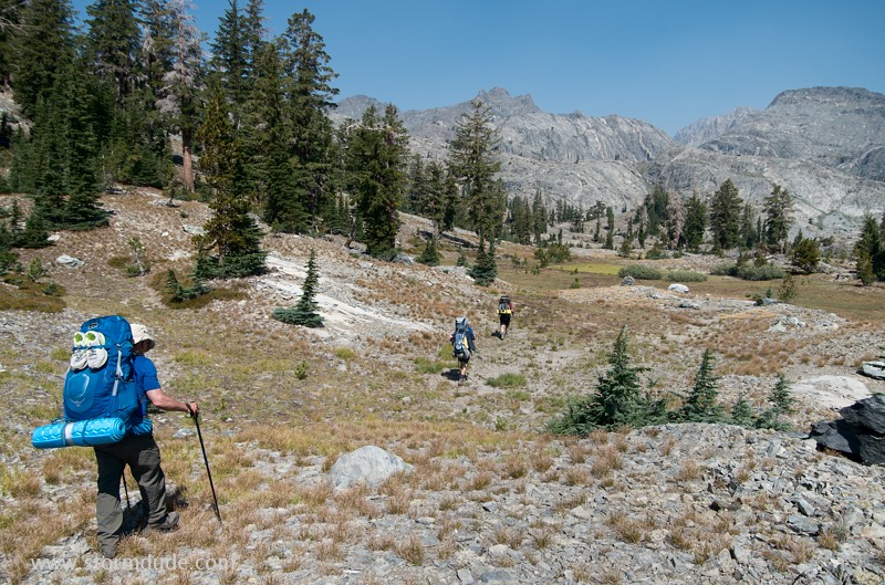
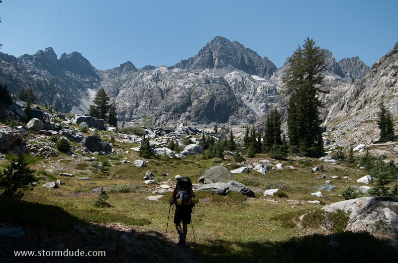
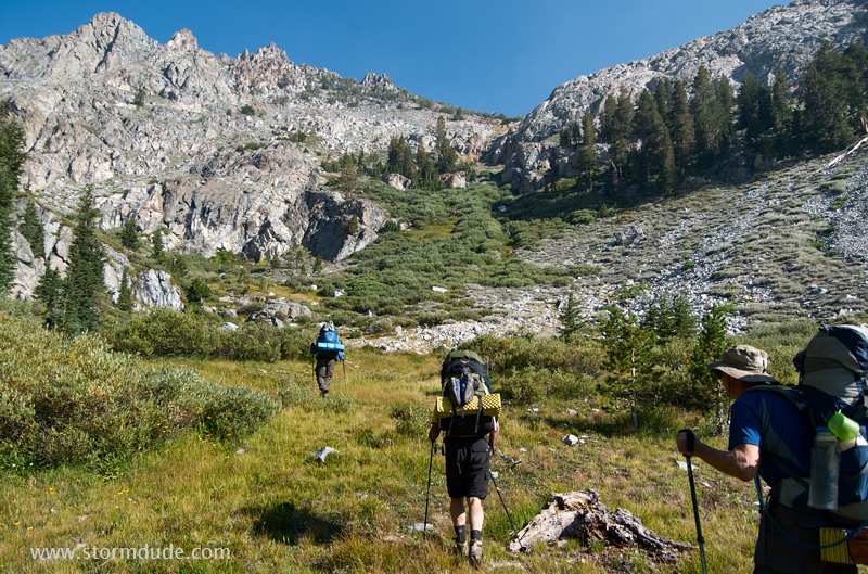
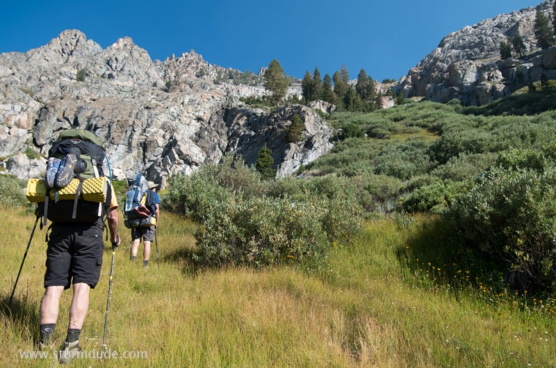
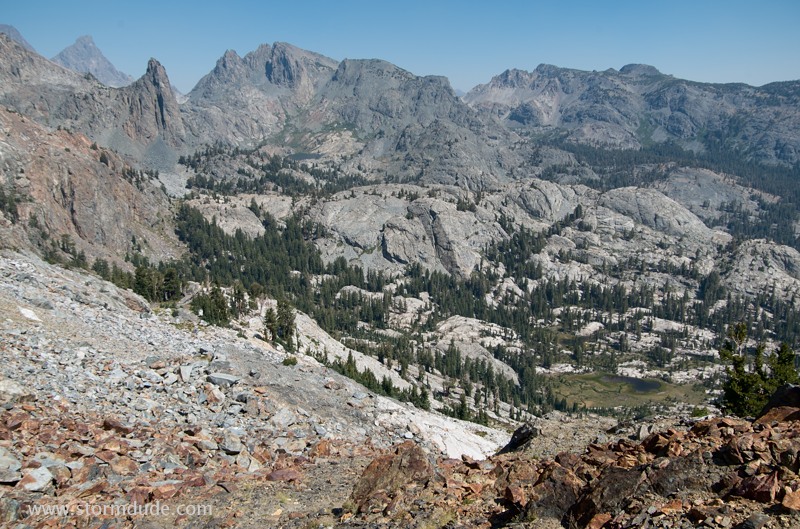
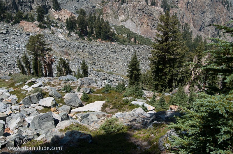
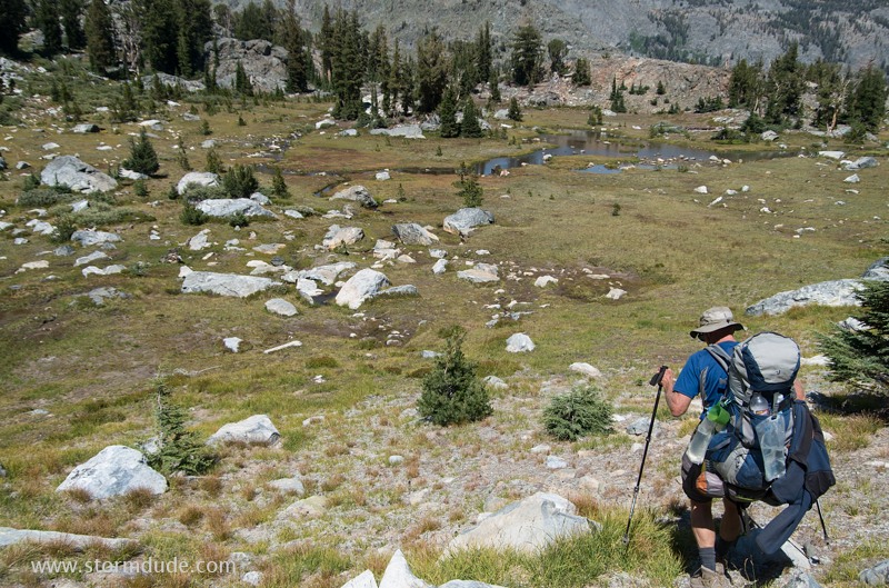
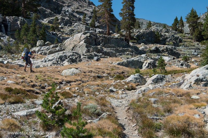
Much of the terrain in the southern part of the Ritter Range is wide open, making for straightforward cross-country travel.
We pass through classic High Sierra scenery: meadows, pine trees and the stark beauty of rugged granite mountains.
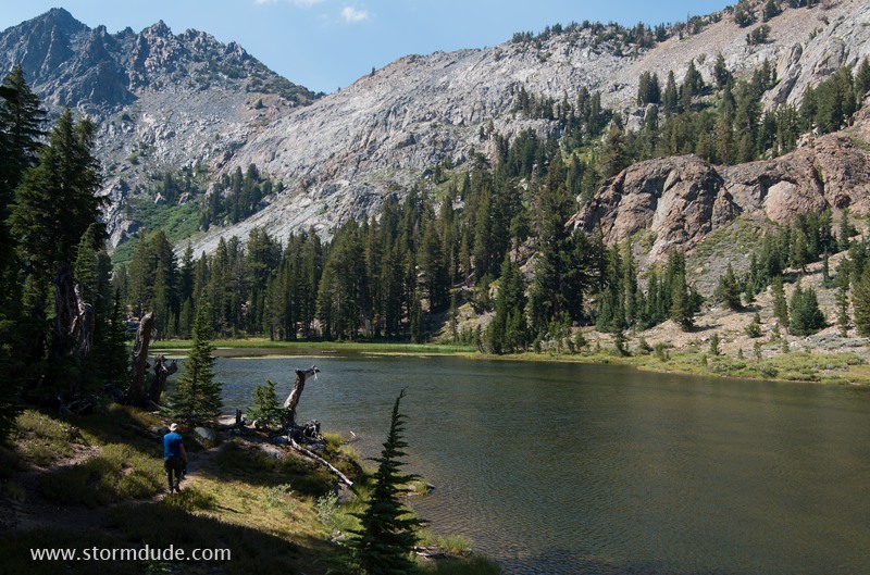
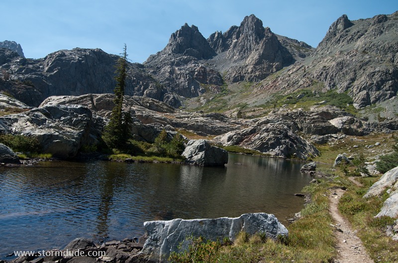
Small lake at 9400 feet, a little east of Ashley Lake.
Final stretch to Ashley Lake.
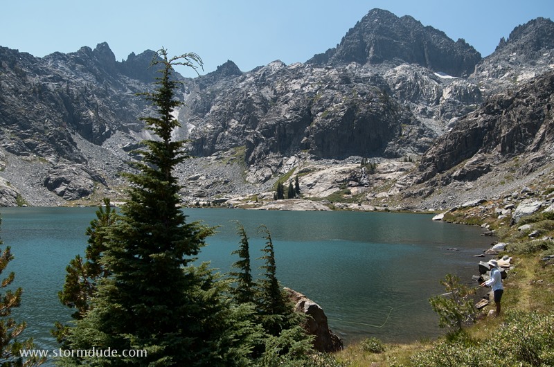
Ashley Lake offers some of the best scenery in the Sierras.
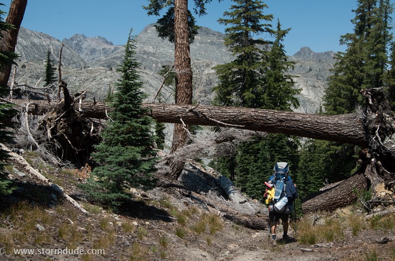
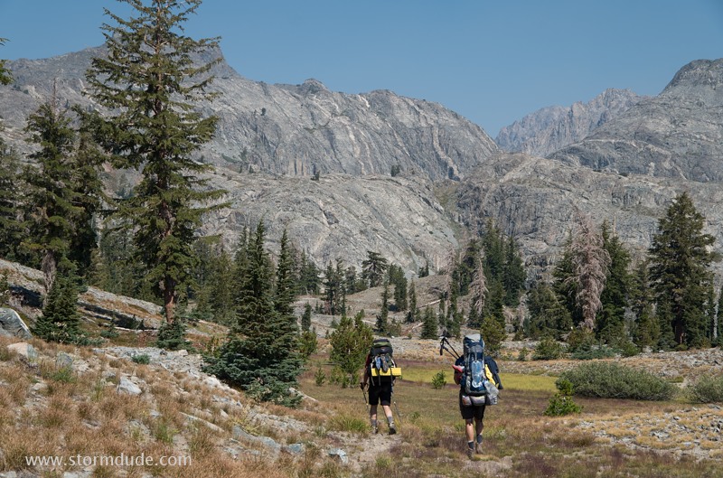
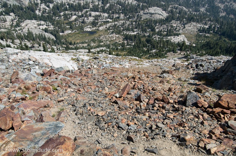
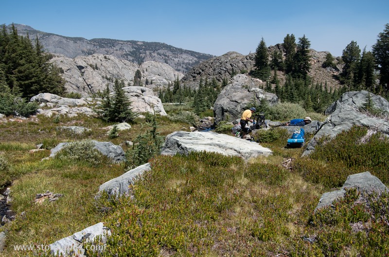
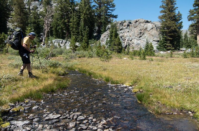
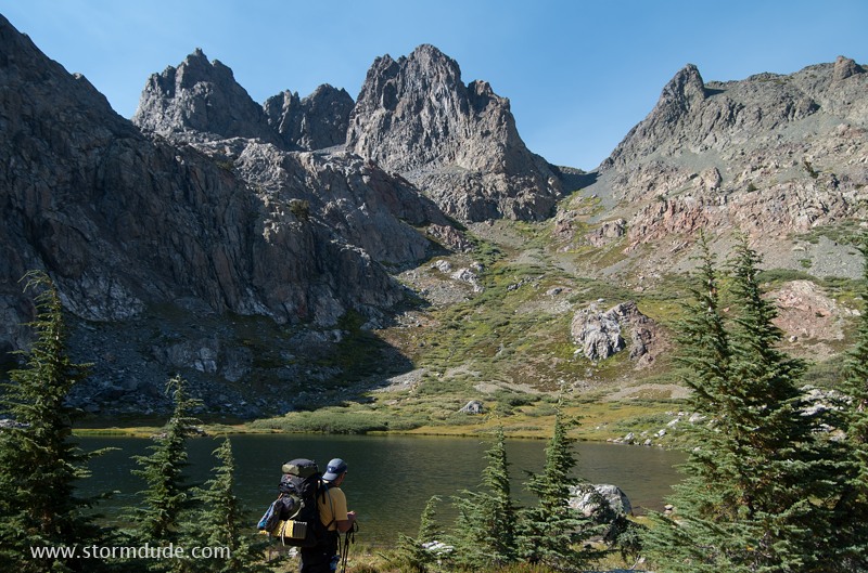
After lunch, we continue cross-country towards Superior Lake. We opt for a route that generally follows the topographic contours.
We don't encounter any serious obstacles as we make our way through the maze of shallow canyons, low ridges and sparse stands of trees.
We reach Superior Lake by mid-afternoon after a day of successful route-finding.
Day 3: Nancy Pass and Cross-Country to Minaret Lake
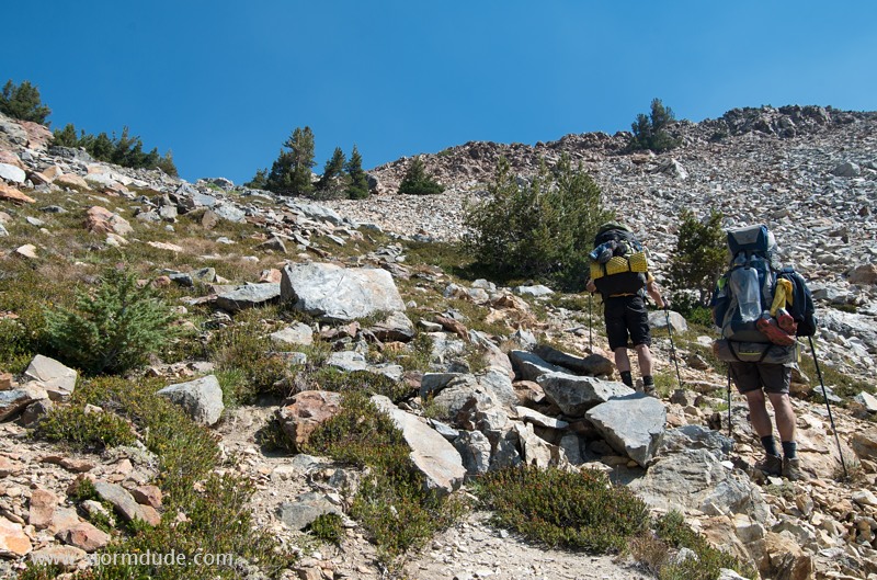
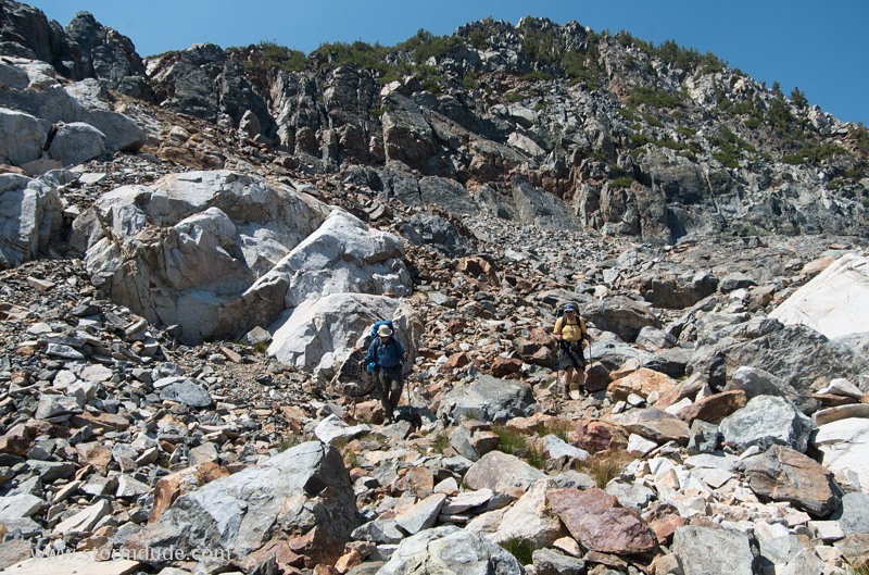
The next morning, we join Steve Roper's "Sierra High Route" as we head towards Nancy Pass (elevation 10,100 feet).
Beginning our 600-foot climb. The best route over this Class 2 pass is unclear, so we decide to work our way through the gaps between the bushes, staying as far left as possible.
We are forced initially into narrow paths between thick bushes. It can be tough to maintain footholds due to damp, slippery grass on steep slopes.
Nancy Pass requires constant attention to footwork. It offers a challenge for those who enjoying going off-trail, but also some danger for the solo or novice backpacker.
Looking back down towards Superior Lake. Our strategy of staying left as we ascend has worked out well, although there may be a better route.
Near the pass, things open up and a faint trail can be followed.
Stunning view of the Minarets at the top of Nancy Pass.
Roper suggests we "descend unstable talus below Nancy Pass, then wander left toward the uppermost visible trees."
An alternative route would be to pick our way down to the meadow below, but we want to avoid dropping too far below Minaret Lake.
Great care is needed in passing through the steep talus field just north of Nancy Pass. Many rocks are loose or unstable, providing a challenging Class 2 hazard.
Just below the talus field, Mike points out a possible route heading west-northwest, towards the "uppermost visible trees." A couple of exposed spots make this the most hazardous portion of the trip.
I get out the camera again once we're past the exposed Class 2 section. Any adverse conditions could make this crossing dangerous, particularly for backpackers lacking experience in cross-country travel.
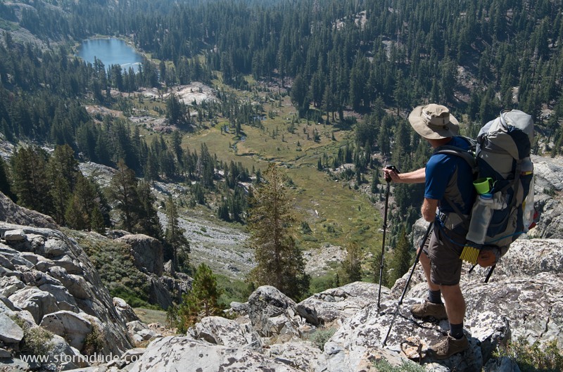
Serene, remote meadow at the headwaters of Minaret Creek, where we take a well-earned rest in the warm August sunshine.
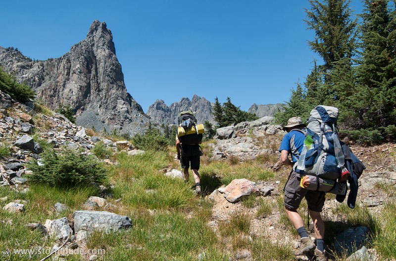
After lunch, we enter the exotic scenery of the Minarets, once part of Yosemite National Park. See this web page for more information: Summitpost.org
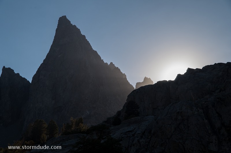
Starr Minaret dominates the landscape as we follow contour lines north, towards Minaret Lake.
Descending into another remote, scenic meadow, a little below Deadhorse Lake.
One of the many wonderful scenic elements of our cross-country journey between Superior Lake and Minaret Lake.
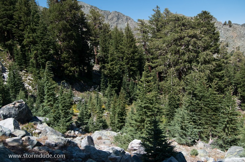
Route finding is often complicated by rocks, trees, gullies and ridges.
Another meadow to cross, with an obvious outlet below the rocky ridge. By descending very slightly, we avoid the worst of the rugged terrain.
We emerge from the wilderness about 200 feet below the elevation of Minaret Lake.
The scenery takes on a postcard quality.
Rugged beauty surrounds Minaret Lake (elevation 9800 feet).
Magnificent Clyde Minaret.