June 6: Front Range Thunderstorm
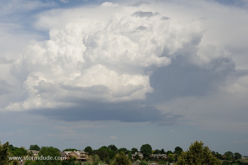
Garden-variety thunderstorm develops along the front range of northern Colorado.
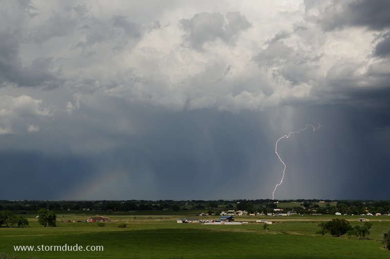
Lightning bolt adds to the ambiance of a Colorado thunderstorm.
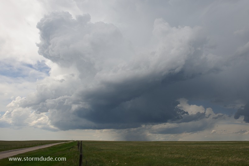
June 7: Cheyenne Thunderstorm
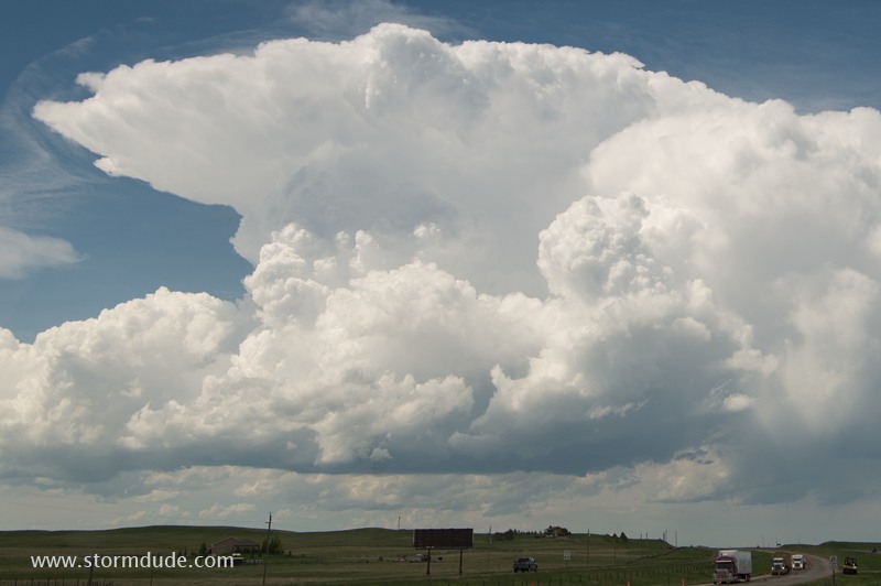
Thundershower develops north of Cheyenne, Wyoming.
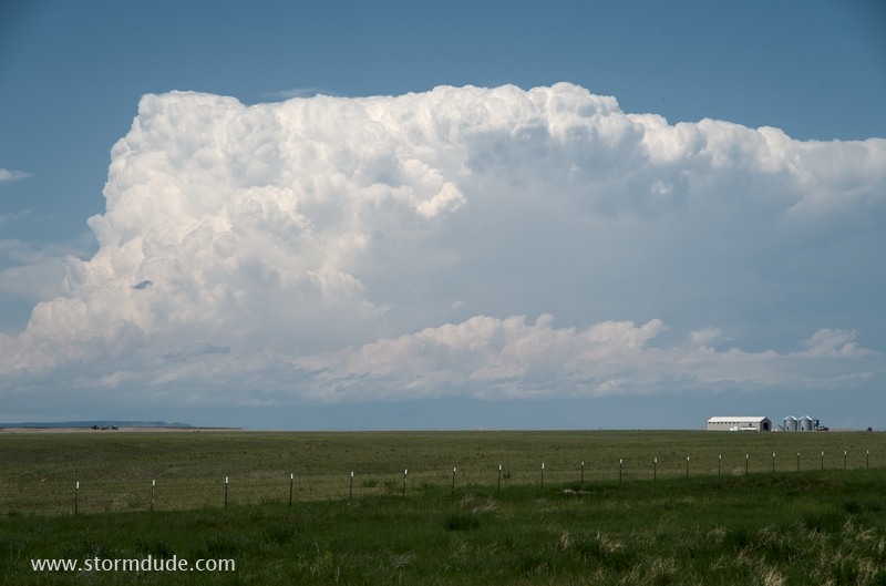
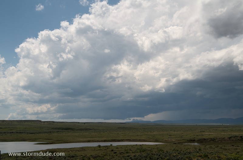
Summer-like conditions prevail, but High Plains thunderstorms still posses their own unique beauty.
Not a real chase day, but still a pleasant diversion on my drive to Montana.
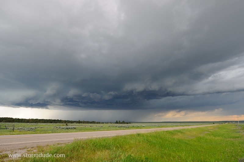
June 9: Central Montana Supercells
Active jet stream over western Montana helps generate a severe thunderstorm two hours north of Billings.
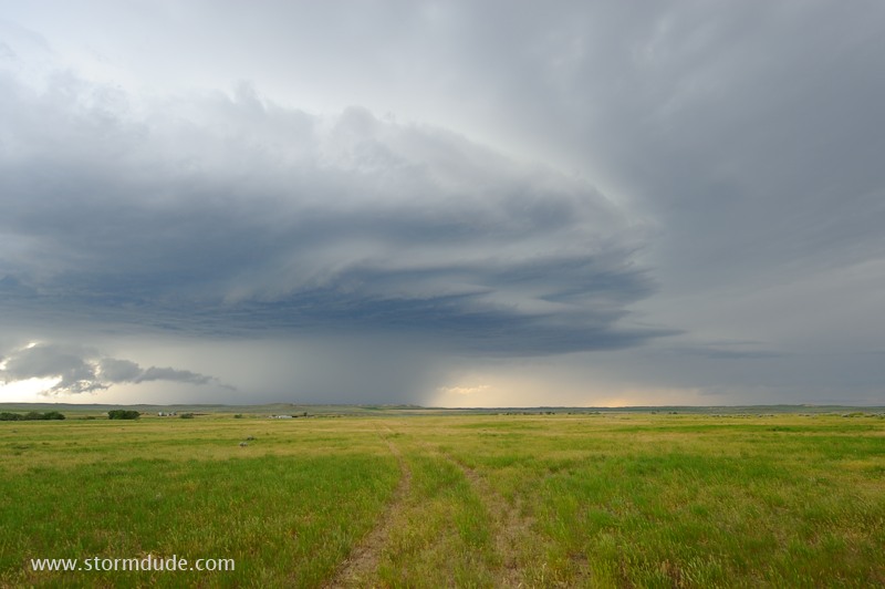
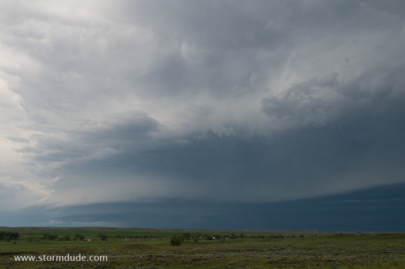
As the initial storm moves away and weakens, a new cell strengthens to my west.
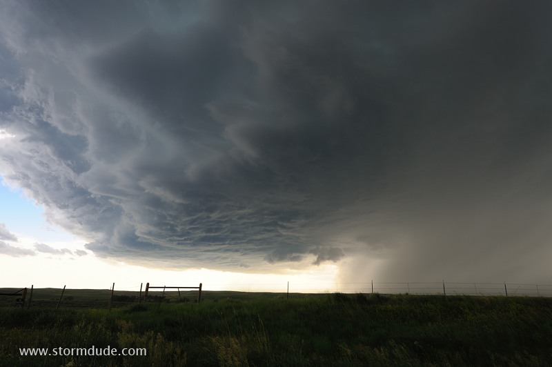
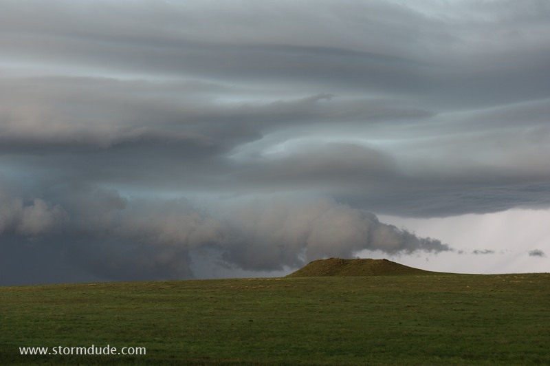
Wide-angle lens shows the nascent structure of the storm, including an updraft on the south, rainy downdraft on the north and an inflow band on the east.
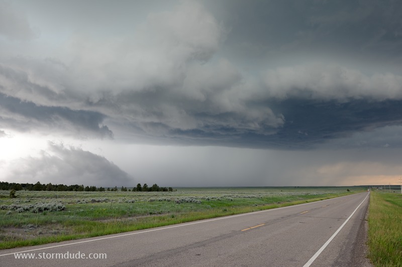
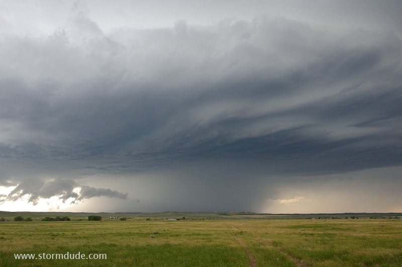
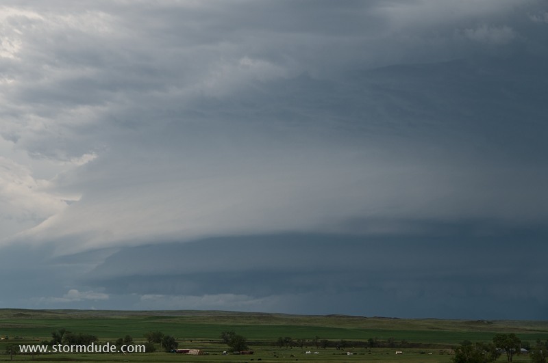
Ground-hugging cloud wraps around the storm as it crosses the highway north of the village of Grass Range.
This low cloud, which is moving quickly towards the updraft, is the leading edge of a rear-flank generated gust front (a.k.a. RFD or rear-flank downdraft).
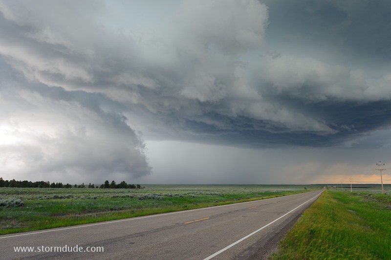
The storm moves across a roadless region north of Highway 200.
North of Winnett, a dirt road leads north towards the storm for another glimpse.
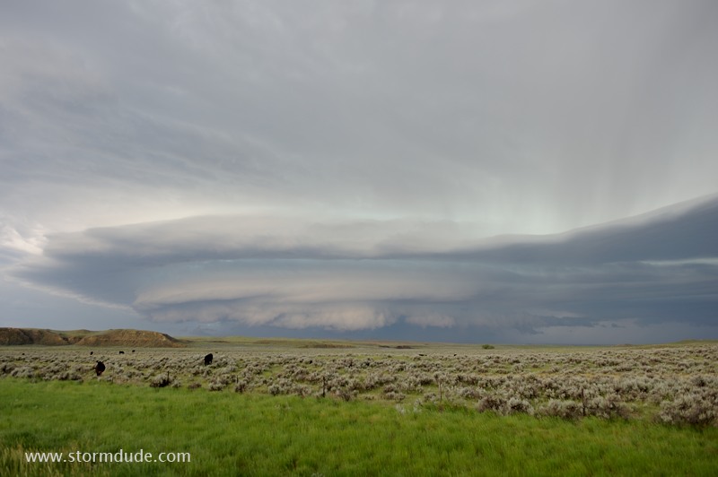
The storm approaches the highway southwest of Jordan, Montana.
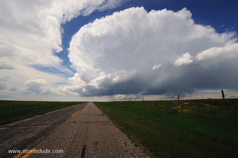
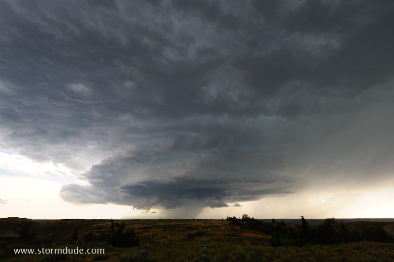
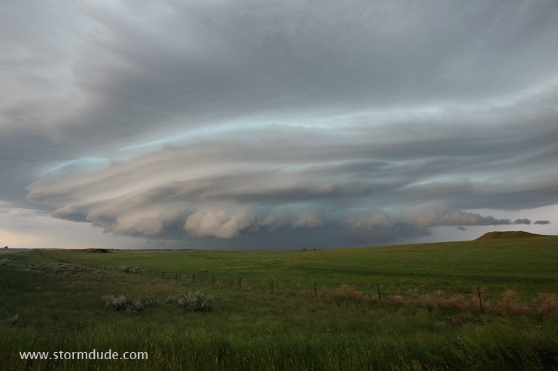
Beautiful high-based supercell on the Plains of central Montana.
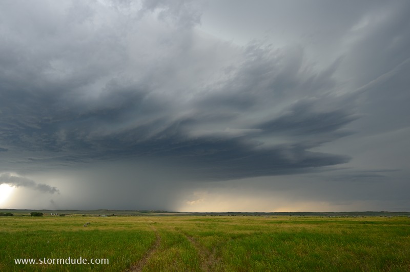
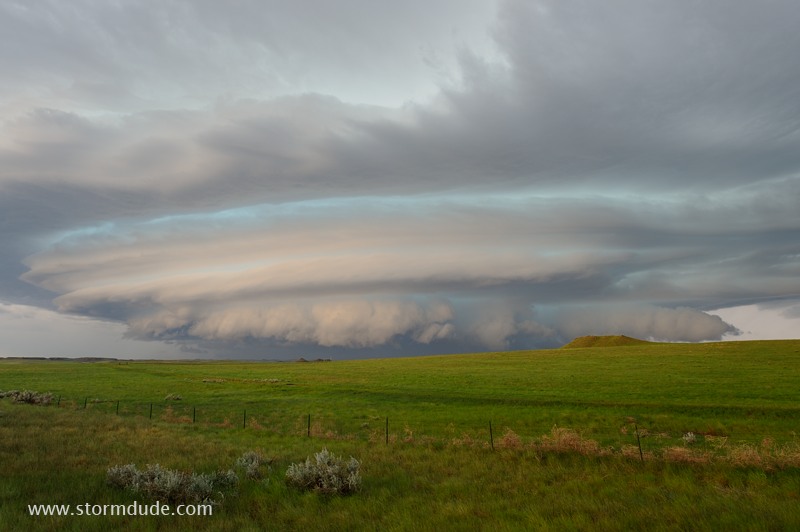
Wide-angle lens shows sculpted structure.
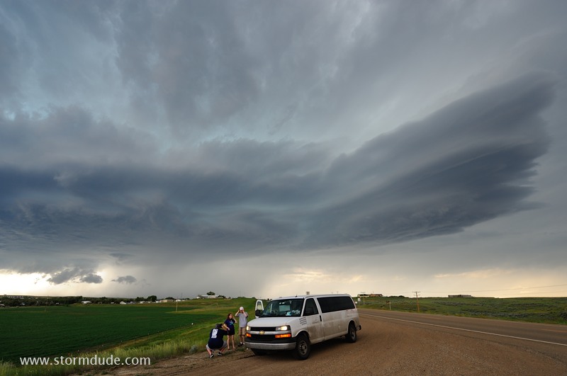
Storm chase tourists enjoy the storm as it passes south of Jordan.

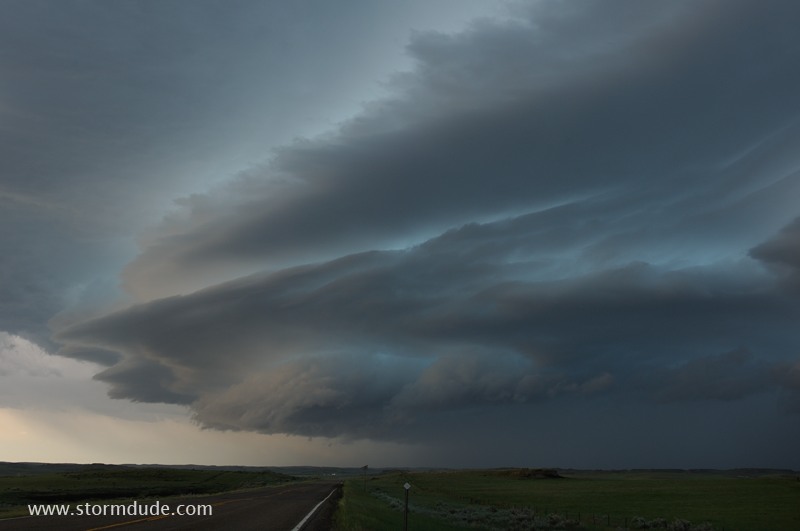
The storm continuously changes shape as it moves quickly east-southeast.
Closer look at the updraft region at the leading edge of the storm.
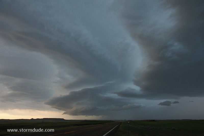
Extreme wide-angle lens shows the entire storm.
The storm continues east-southeast across another large area of rangeland with no public roads.
One last look before I leave this beautiful supercell and return west to intercept another storm.
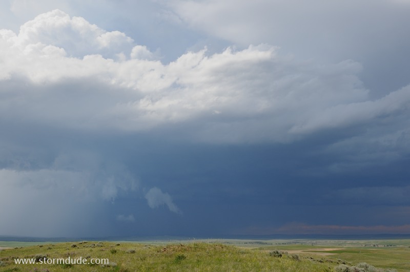
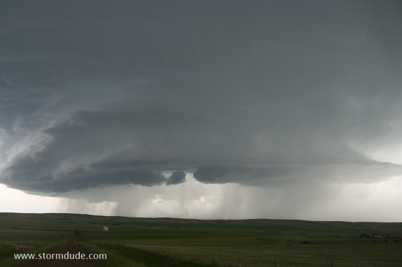
A half-hour later, I spot a large severe storm moving across rangeland between Jordan and Sand Springs.
Laminar appearance at front edge of the storm. This is caused by cold outflow in front of the storm forcing warm, moist air upward, causing it to condense into clouds in an even, smooth process.
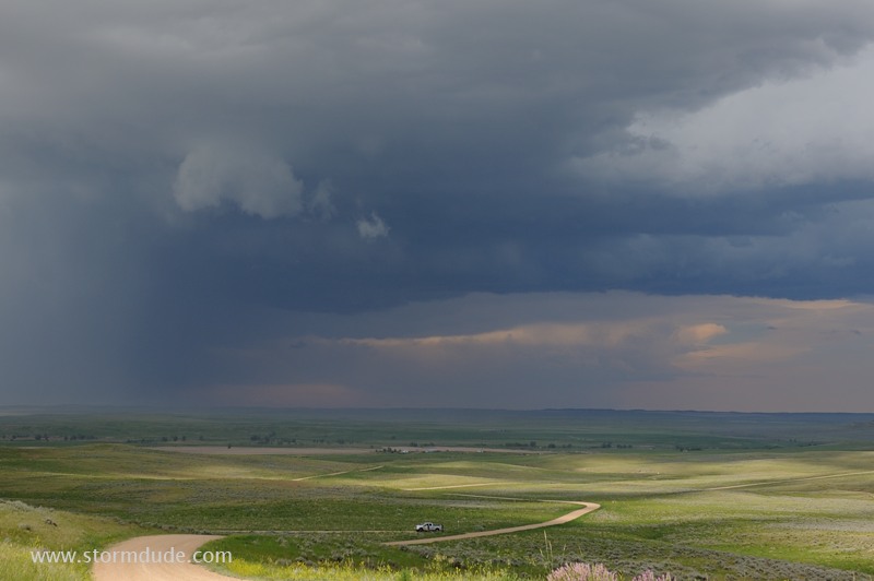
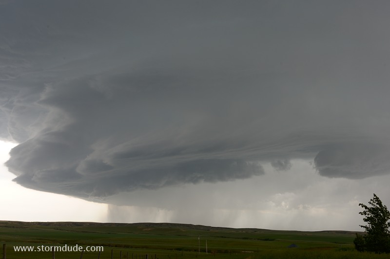
I intercept the storm about ten miles southeast of Jordan.
Storm is lighted by reflected evening sun off the backside of the first supercell (now well to my east).
Close view shows strange features as storm passes a couple of miles to my southwest.
Despite marginal CAPE and shear, this has turned out to be one of my more scenic days of storm chasing.
Storm crosses highway. A local couple told me their car was hit by golf-ball size hail as they drove under it.
One last look and I think the day is over for photogenic opportunities...
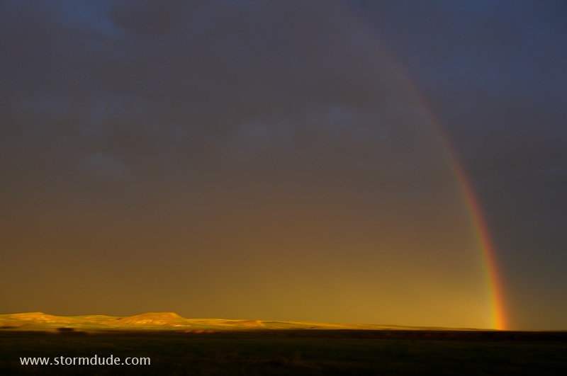
...but the northern Plains sunset pays off at the rear of the storm.
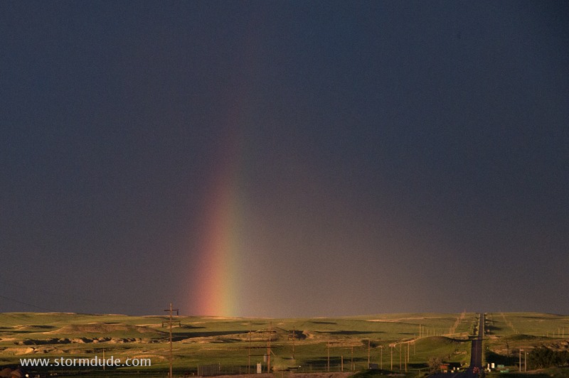
Beautiful sunlit rangeland and a nearby rainbow.
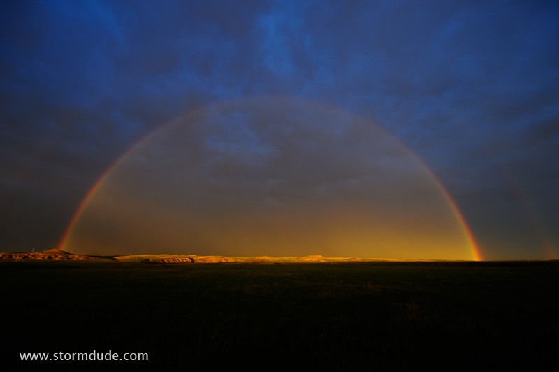
It took a 16mm setting on my zoom lens to capture this (notice the very faint double rainbow).
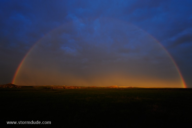
Last rays of light provide a beautiful end to a spectacular day of storm chasing.