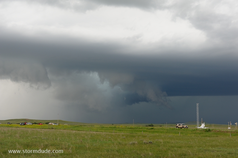
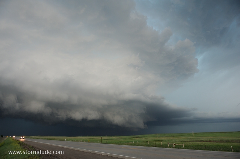
June 16: Nebraska Panhandle Storm
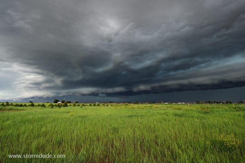
Severe storm northwest of Scottsbluff in the Nebraska Panhandle.
Rain-cooled air pushing ahead of the storm creates ragged appearance.
Only marginally severe but quite photogenic.
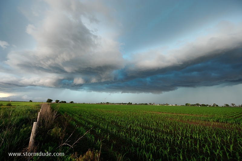
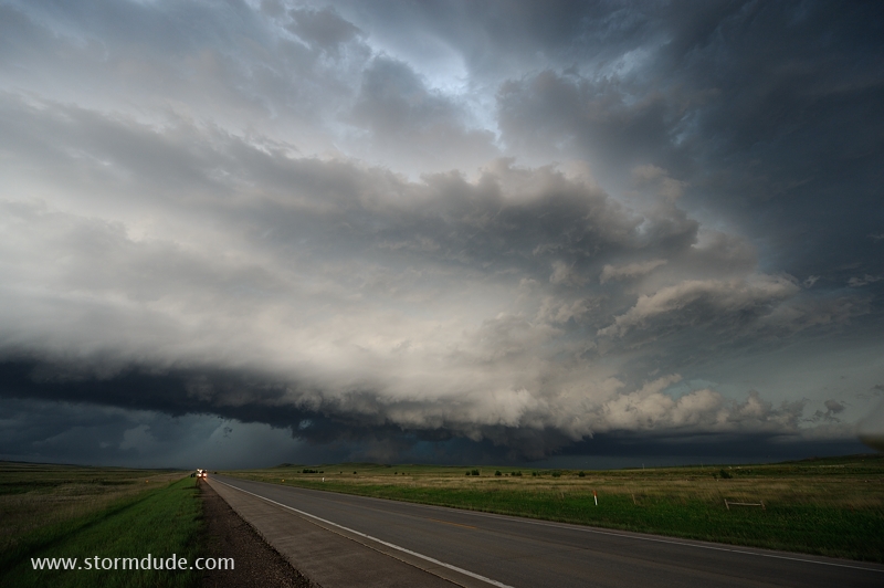
June 19: Southeastern Montana
Supercell develops in southeastern Montana.
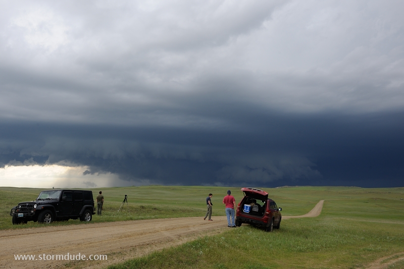
Storm strengthens despite weak surface winds.
The supercell moves southeast across wide-open Montana ranchland.
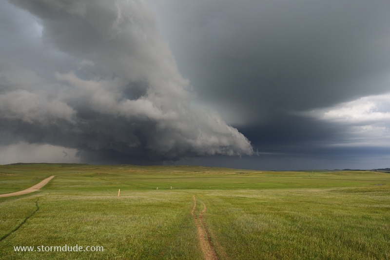
Extreme wide-angle view (14mm on a Nikon 14-24mm f/2.8 zoom lens).
The storm follows Highway 212, providing hours of photo opportunities.
This powerful thunderstorm drops hail up to the size of baseballs.
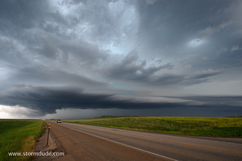
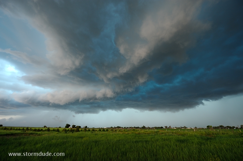
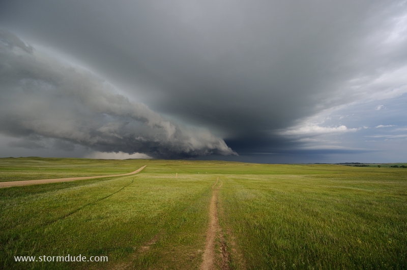
Wide-angle view of storm structure.
Storm continues to strengthen as it approaches the South Dakota border.
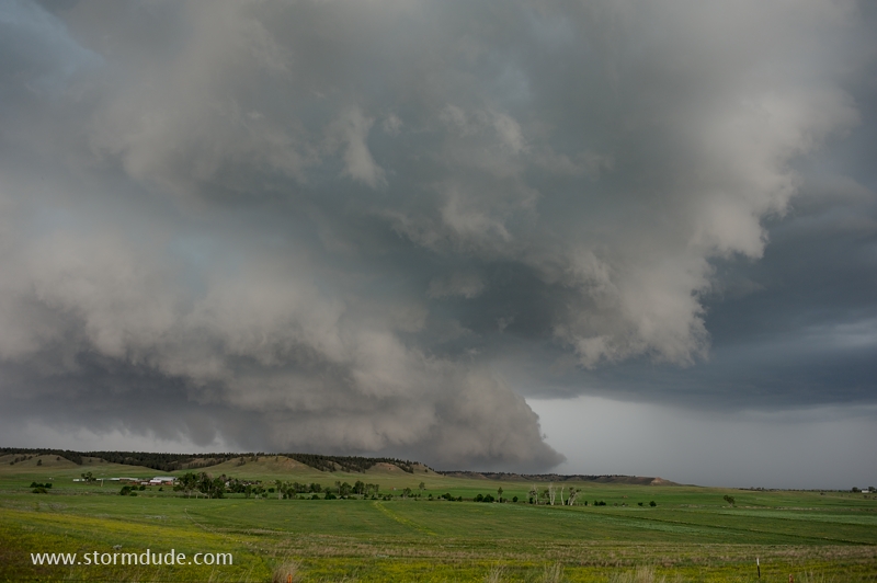
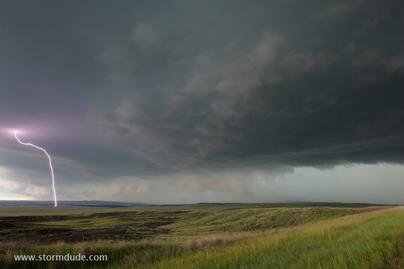
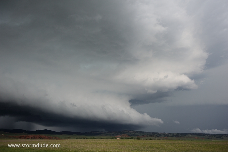
Stunning HP Supercell.
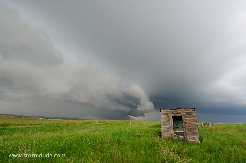
Another dramatic view as the storm nears Belle Fourche, South Dakota.
Still ragged due to lack of surface inflow or storm rotation. The storm rapidly strengthens after dark.
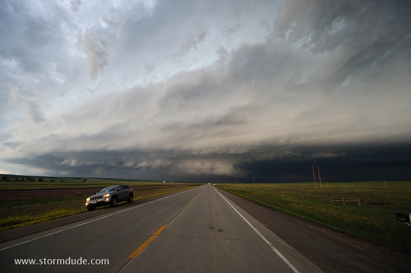
View of the next storm to the east as it moves across the Black Hills of far northeast Wyoming. Great end to a long, scenic afternoon and evening of watching storms.