March 29: Central Kansas Thunderstorms
Cold front begins firing on an early spring day. Weak upper winds make this a marginal day for severe weather.
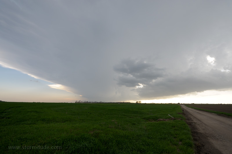
Small convective cell north of Newton, Kansas. This is embedded in a line of thundershowers.
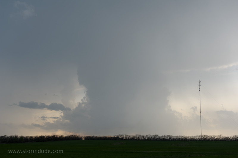
Closer view of updraft. It weakens quickly after this.
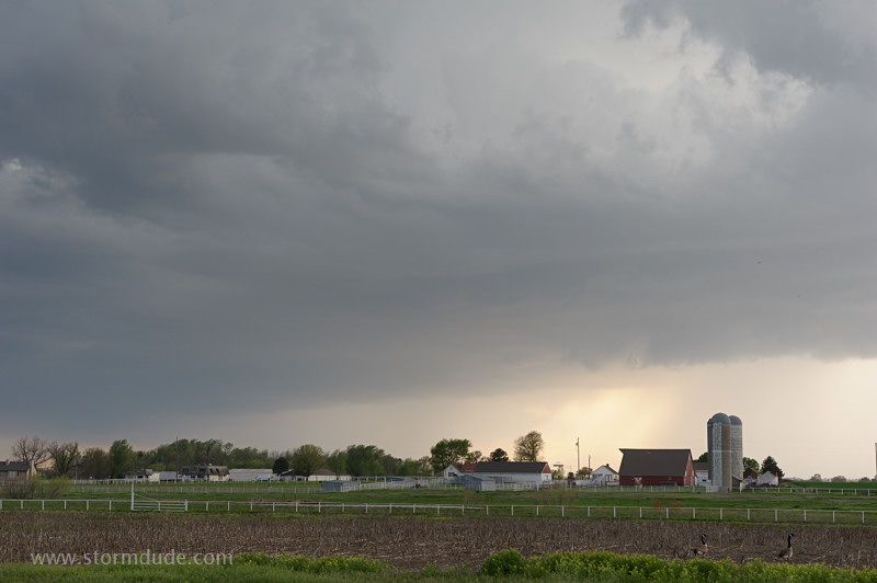
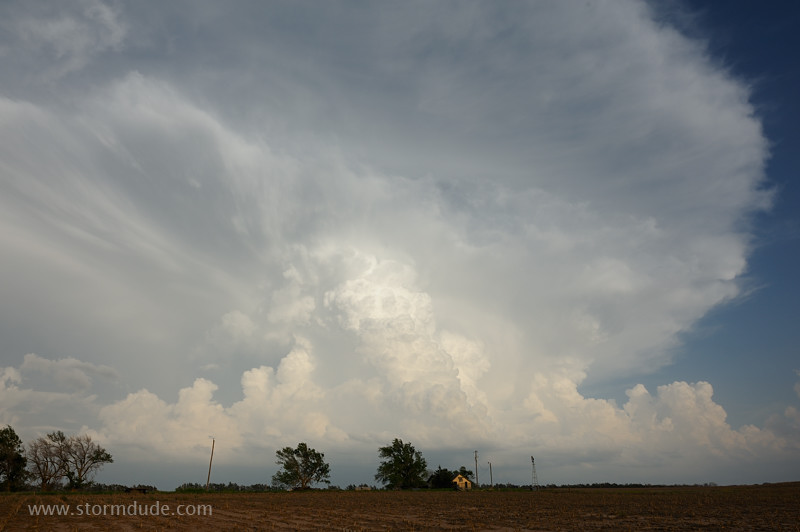
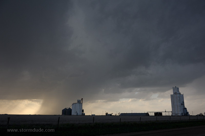
Further southwest, a thunderstorm approaches a Kansas farm. This is twenty miles north of Wichita, near the town of Sedgwick.
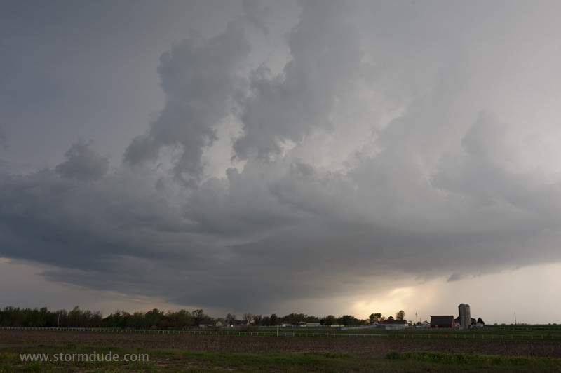
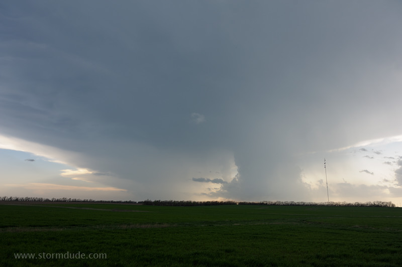
Strongest storm is near the southwestern end of the line. The rain core on the right produced quarter-size hail. A scenic start to a new season of storm photography.
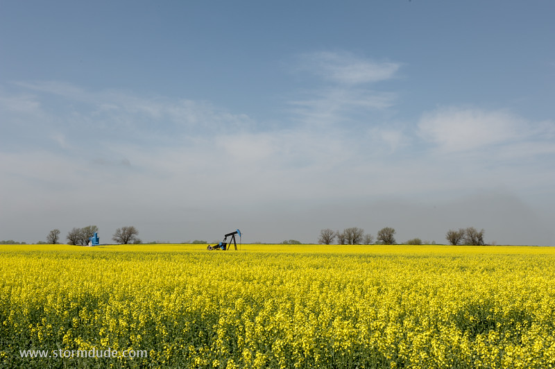
Bonus photo from the following day, along a highway in a remote part of southern Kansas. Remnants of a morning fog are in the background.
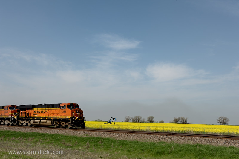
(No, I wasn't standing on the tracks when I took the previous picture.)
April 2: Western Oklahoma Thunderstorm
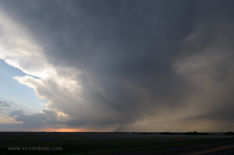
After abandoning a dormant dryline in the eastern Texas Panhandle, I find a thunderstorm moving towards Arnett, Oklahoma.
The storm is moving slowly north-northwest. The unusual direction is due to counter-clockwise steering winds around an upper low over New Mexico.
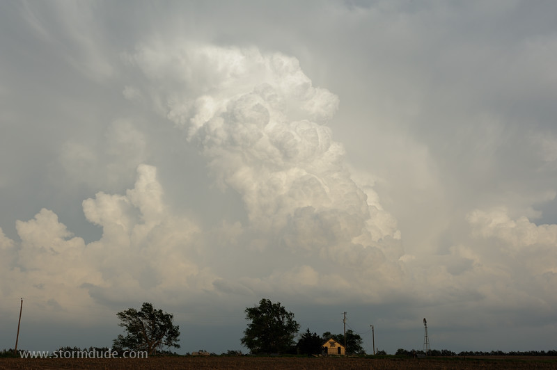
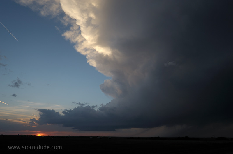
Vigorous convection towering over an abandoned farmhouse on the plains of western Oklahoma.
The core of the storm moves overhead as dusk approaches.
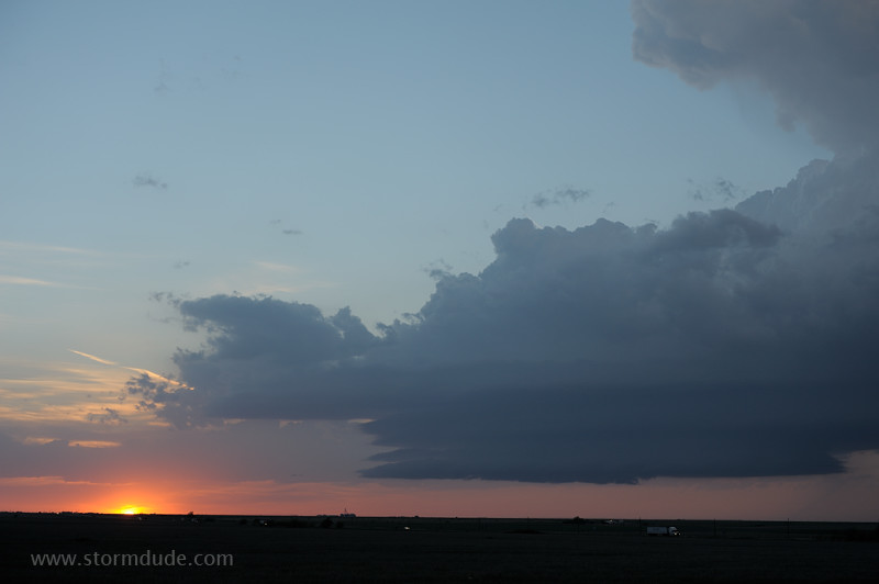
Last view at sunset. Jet stream energy rounding the base of the upper low arrives after dark. This shortwave also leads to an outbreak of severe weather over the Dallas-Ft. Worth metroplex the next day (I avoid chasing anywhere that traffic jams can take away my escape routes).
April 6: Texas Panhandle Storm
On a day with only modest instability and weak convergence, the caprock triggers a lone storm just east of Amarillo.
High-based thunderstorm moves slowly northeast
Carson County sunset.
Stack-of-plates under the base of a small flanking line.
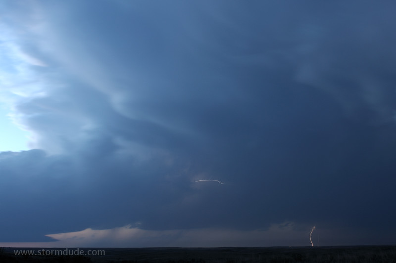
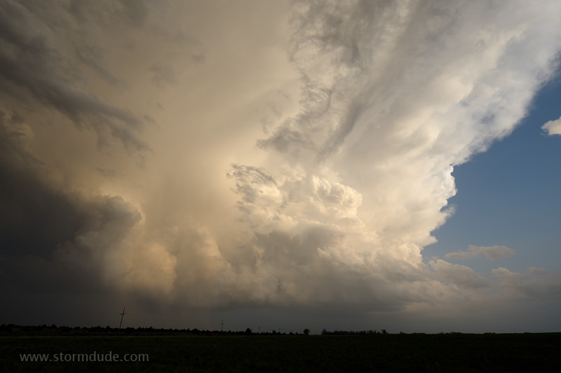
Elevated supercell moves across the Texas Panhandle (this photo is lightened by the long exposure).
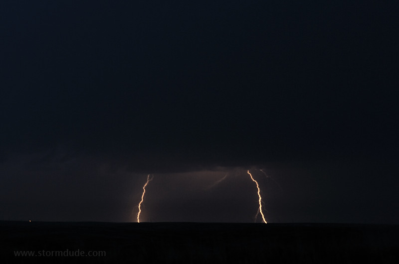
Lightning show after dark.
April 7: Central Texas Storm
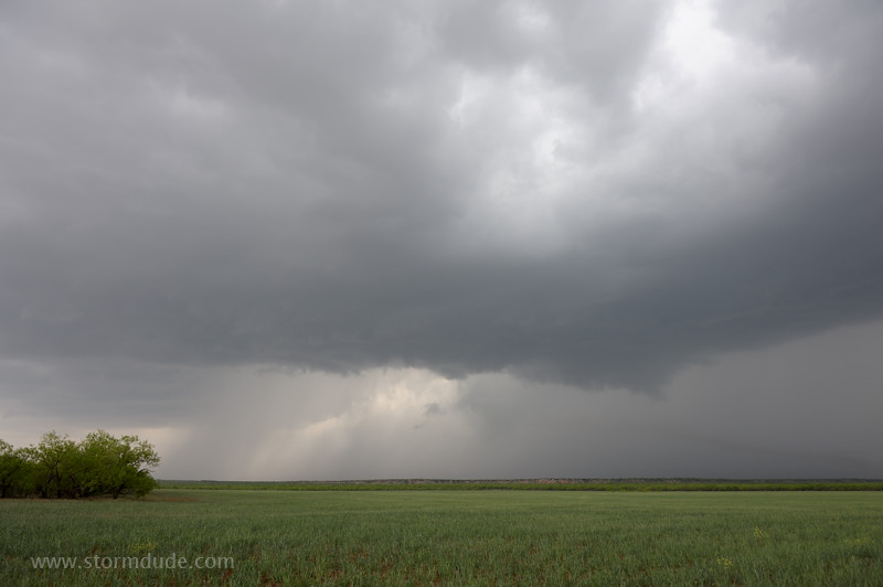
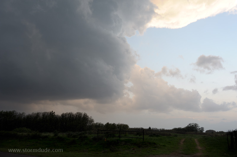
Isolated storm develops along cold front northwest of Abilene.
Ragged lowering in a storm dominated by rain-cooled outflow.
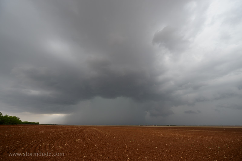
Cloudburst between the towns of Boyds Chapel and Merkel.
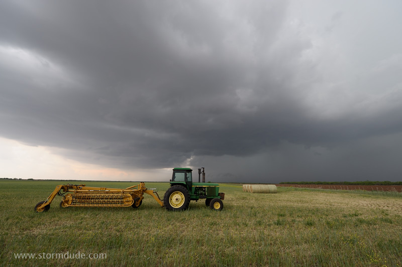
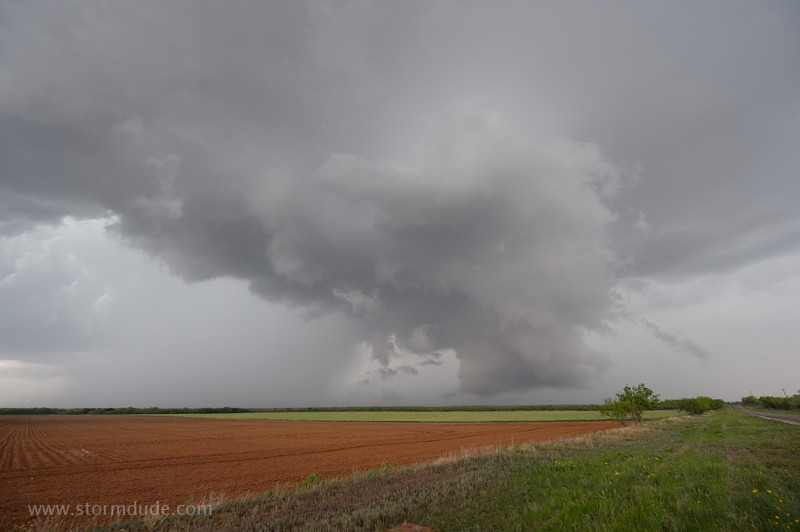
Convection develops southwestward along the cold front.
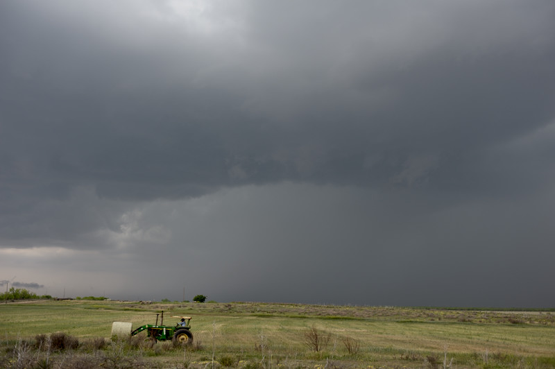
Bringing in the hay before the downpour hits.
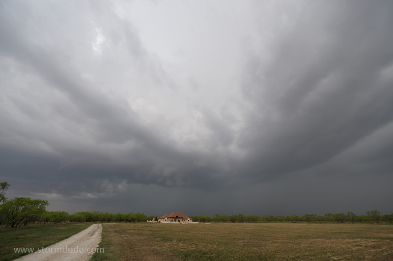
New home on a Texas-size lot under a Texas-size thunderstorm.