April 20: Amarillo Supercell
Afternoon thunderstorm develops near Tacosa and Boys Ranch, about 30 miles northwest of Amarillo.
Beautiful storm despite marginal conditions today.
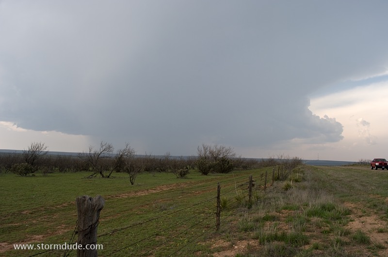
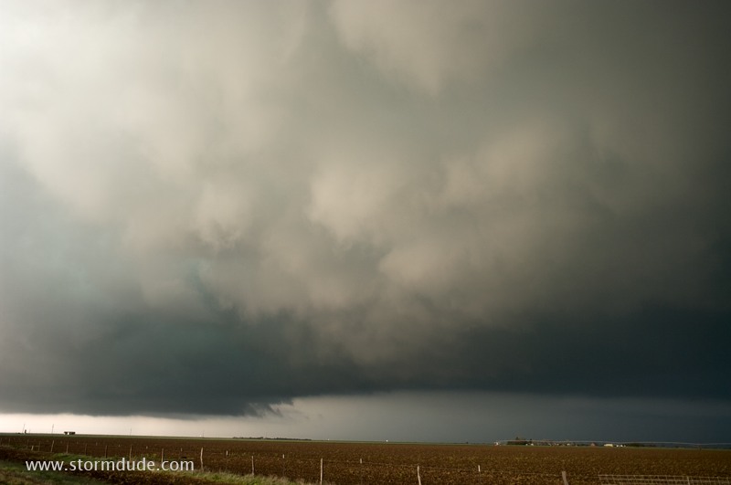
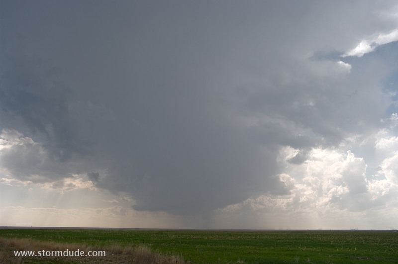
High Plains storm over a cattle ranch.
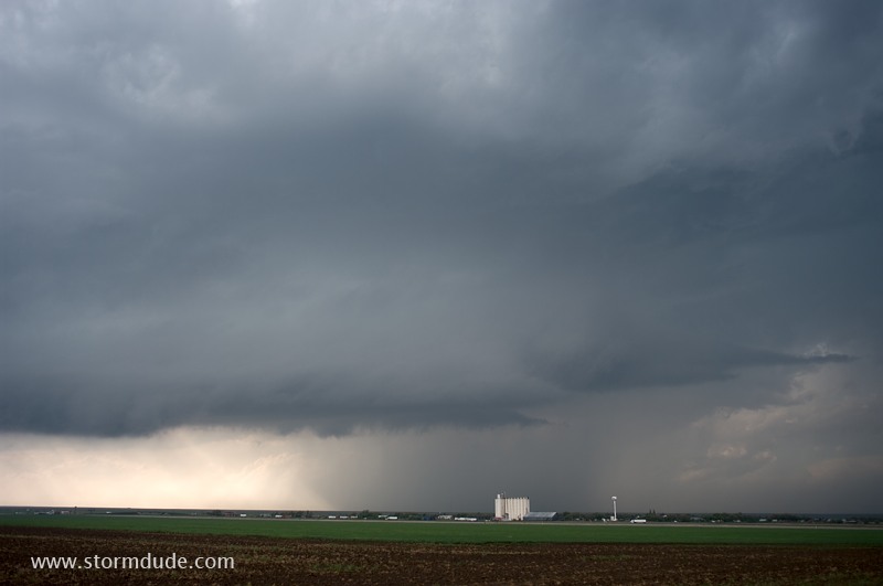
After moving slowly south-southeast, the storm strengthens a little west of Amarillo, near Interstate 40 and Bushland.
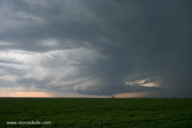
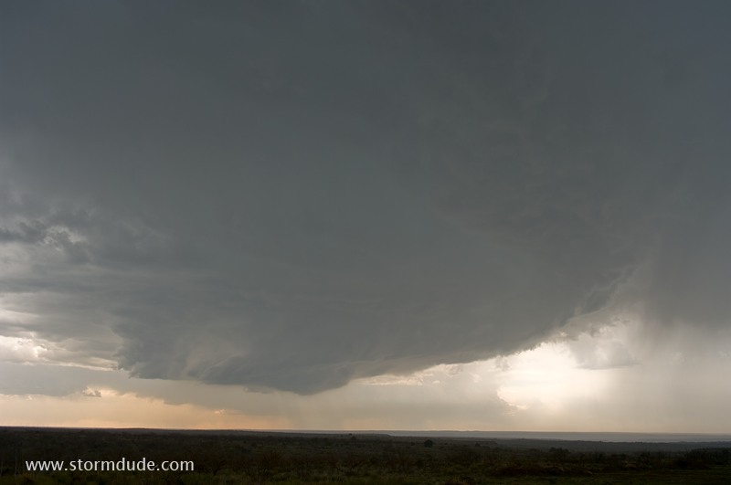
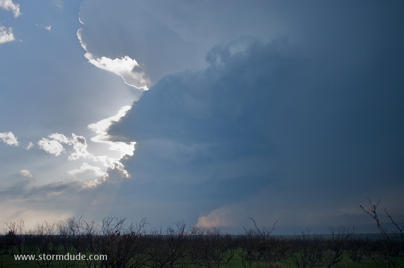
Magnificent LP structure.
This is far better than I expected with today's marginal conditions (weak upper winds, 50-degree dewpoints and temperatures in the high 60s).
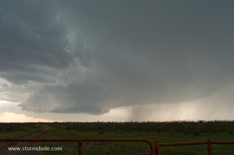
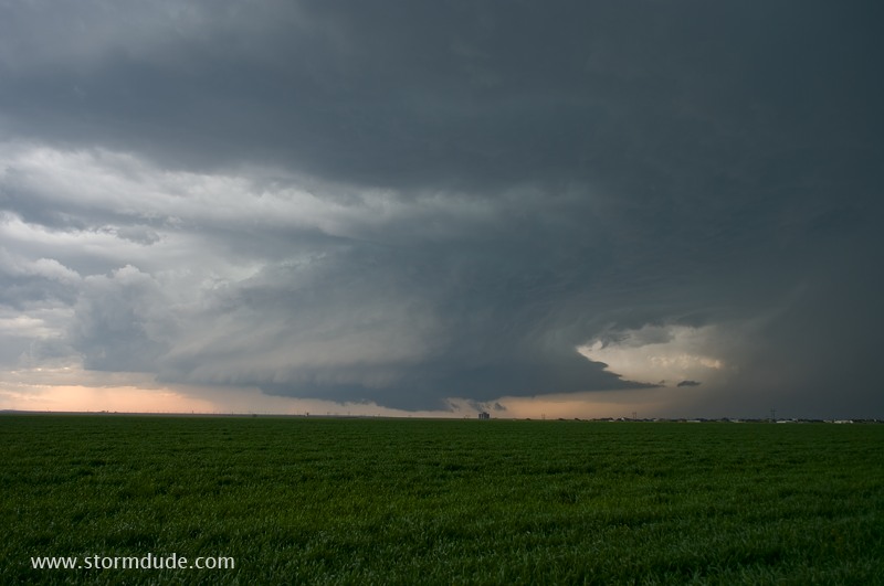
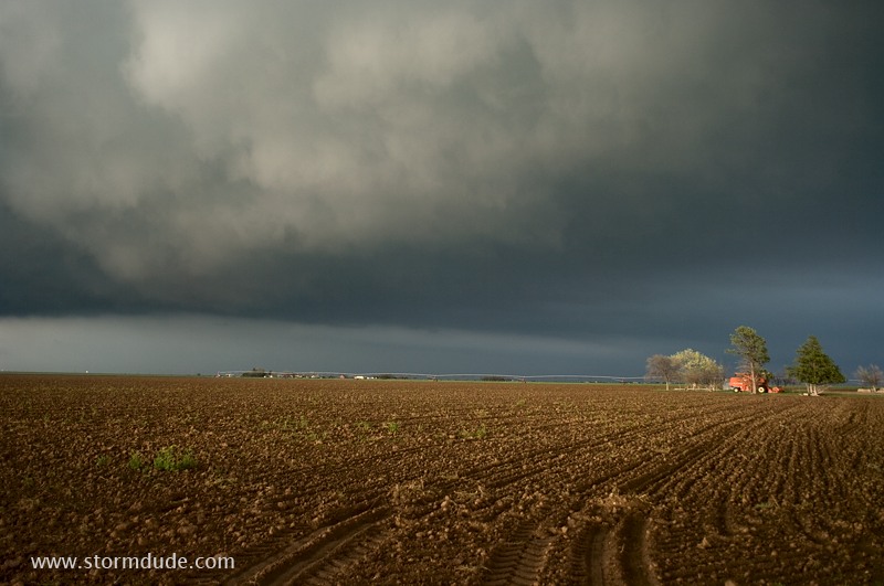
The storm crosses I-40. A tornado is reported, but I only see non-rotating scud caused by downdrafts, including a cone-shaped cloud that reaches two-thirds of the way to the ground.
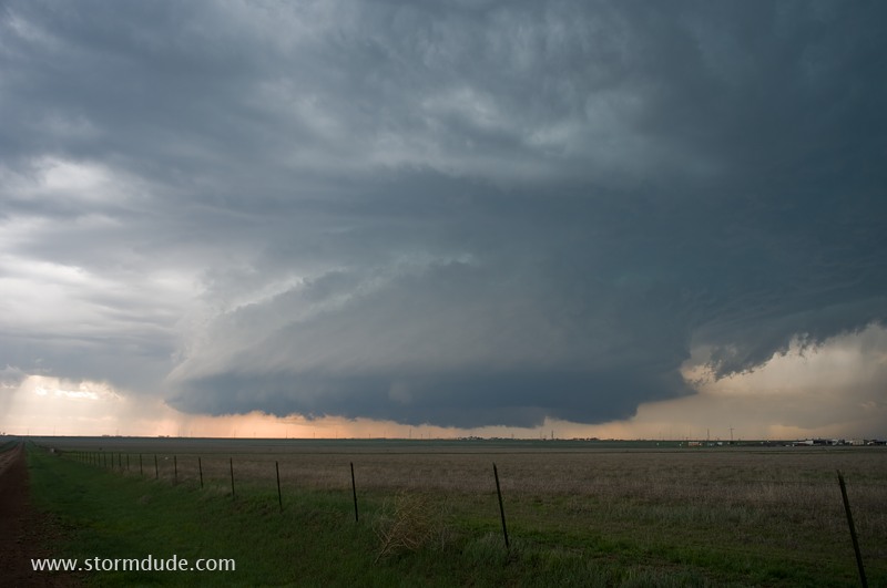
A muddy road keeps me from staying just ahead of the storm, so I relocate 15 miles south, to just north of Umbarger.
This is turning out to be a terrific chase day.
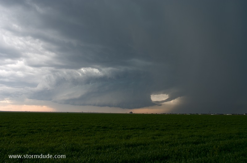
Radar shows a hook echo, prompting a tornado warning.
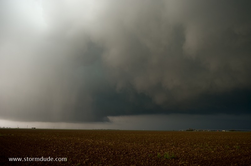
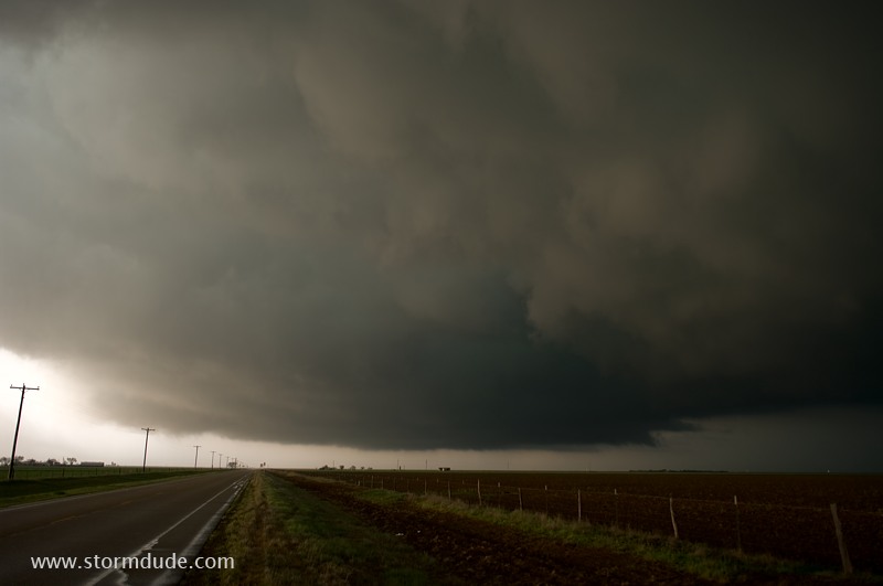
Just before the rainy RFD engulfs me.
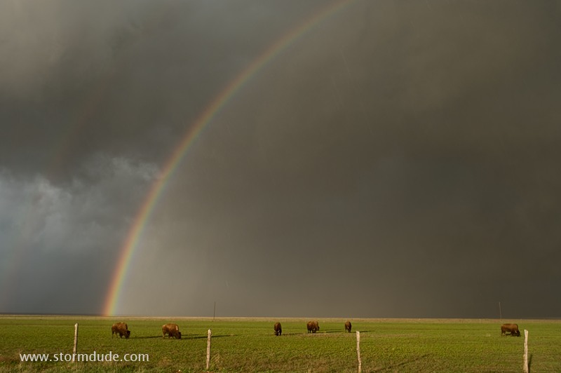
A couple of miles south of Umbarger, buffalo are grazing on the back side of the RFD as the sun nears the horizon.
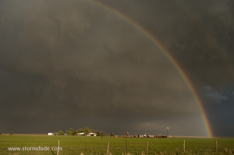
Wonderful Texas Panhandle scenery.
Turbulent storm clouds above a Texas ranch.
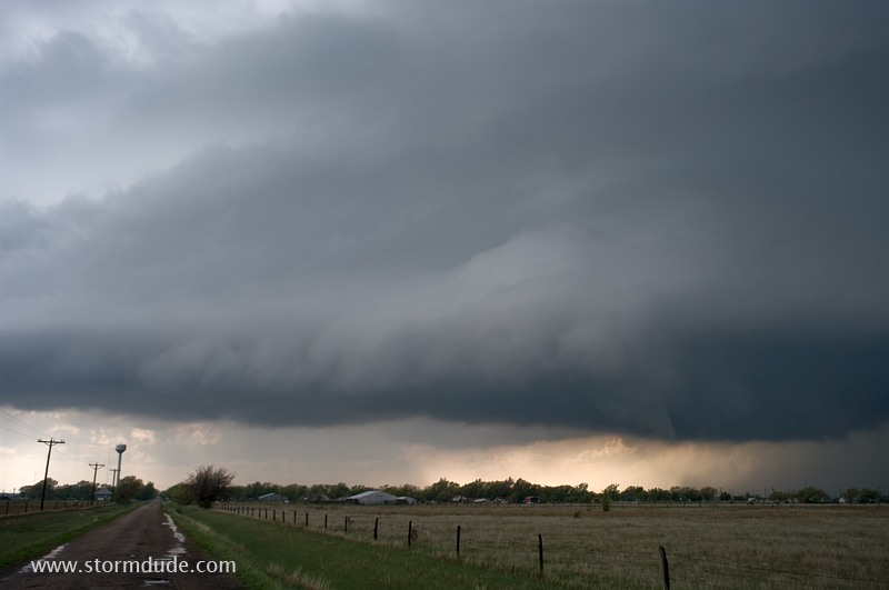
The tornado siren is sounded in nearby Umbarger, but these chaotic clouds are a result of cold outflow on the back side of the storm.
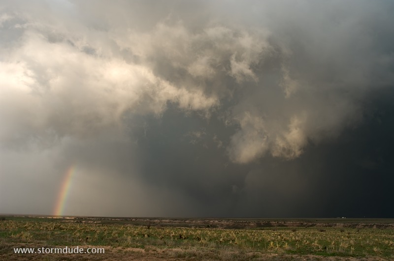
Tornado look-alike caused by turbulent downdrafts.
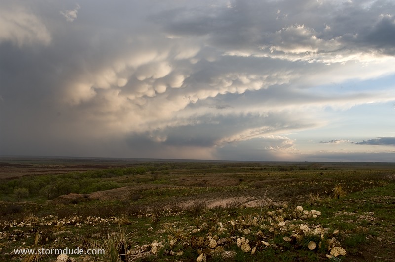
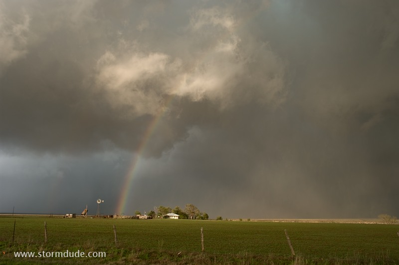
View across Buffalo Lake of the backside of the squall line at the end of a very rewarding first day of storm chasing for spring 2010.
April 21: Western Panhandle Storm
Storm tries to develop an hour southwest of Amarillo, but eventually dissipates. Conditions today are unfavorable for severe weather.
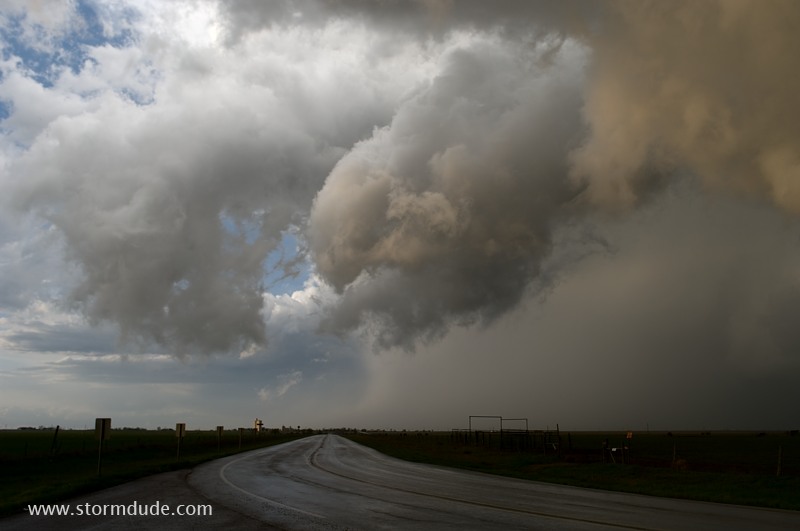
Another storm is over Adrian, 45 minutes west of Amarillo on I-40.
A scenic storm that soon moves over open rangeland.
One last look from well ahead of the storm as dusk approaches.