May 27: Southwest Nebraska Thunderstorms
Cloudburst near Imperial, Nebraska on a day when the jet stream is way up in Montana and the Dakotas.
Back to the northwest, a small storm spins its way towards Chappell, Nebraska.
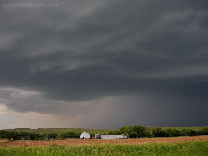
It soon weakens but still provides a scenic backdrop for a western Nebraska farm.
Another view.
May 28: Southwest Nebraska Supercell
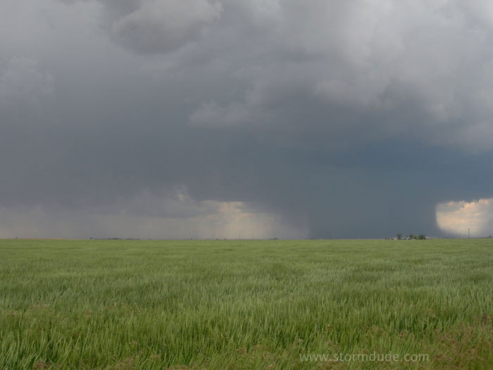
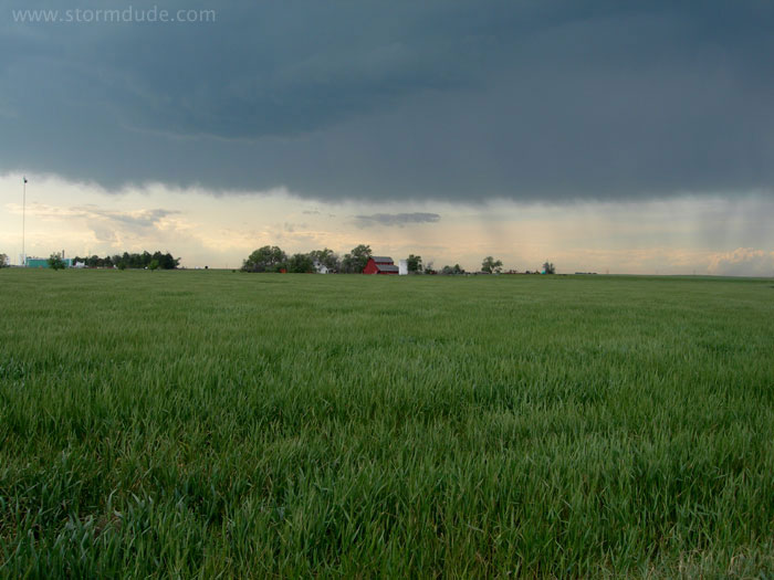
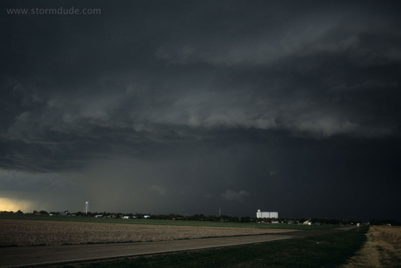
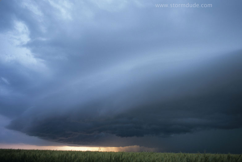
A little stronger jet stream than yesterday is supposed to trigger severe storms in the Nebraska Panhandle and northeastern Colorado, causing me to ignore early convection in southwest Nebraska. But those storms are weak high-based junk so I catch up to this storm in Chase County, Nebraska, in early evening.
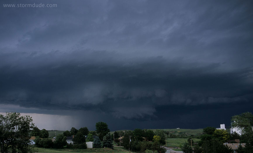
Near the small town of Wauneta, the storm shows signs of rotation.
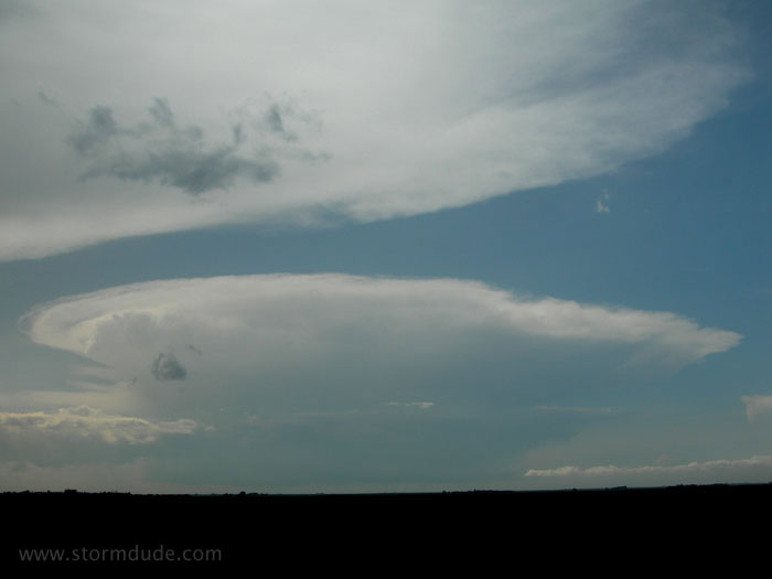
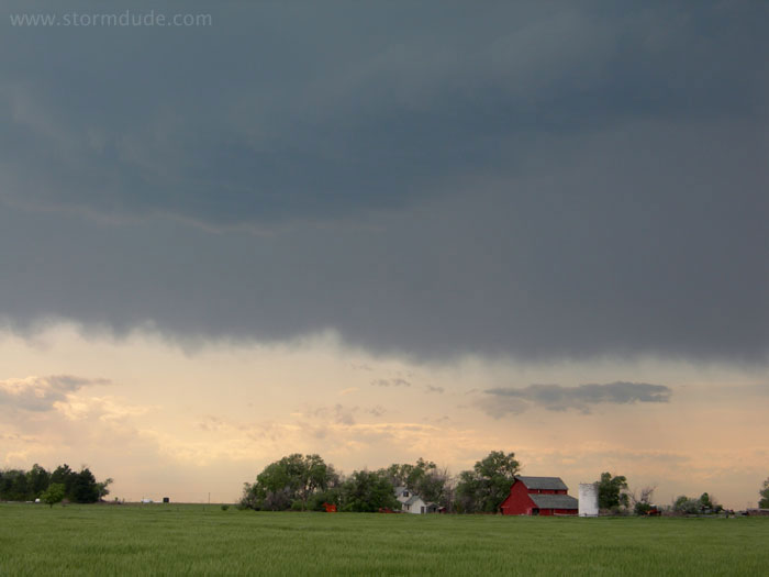
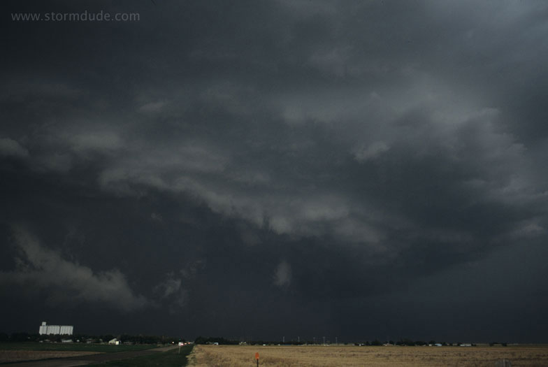
Outflow soon takes over due to weak mid-level winds. Final view as sunset approaches.
Looking further to the right. Also a good comparison of my two cameras: this was taken with a Nikon FM2 with Provia 100 film, vs. the compact Nikon 7900 digital camera, set at 5 megapixels, for the prior photo.
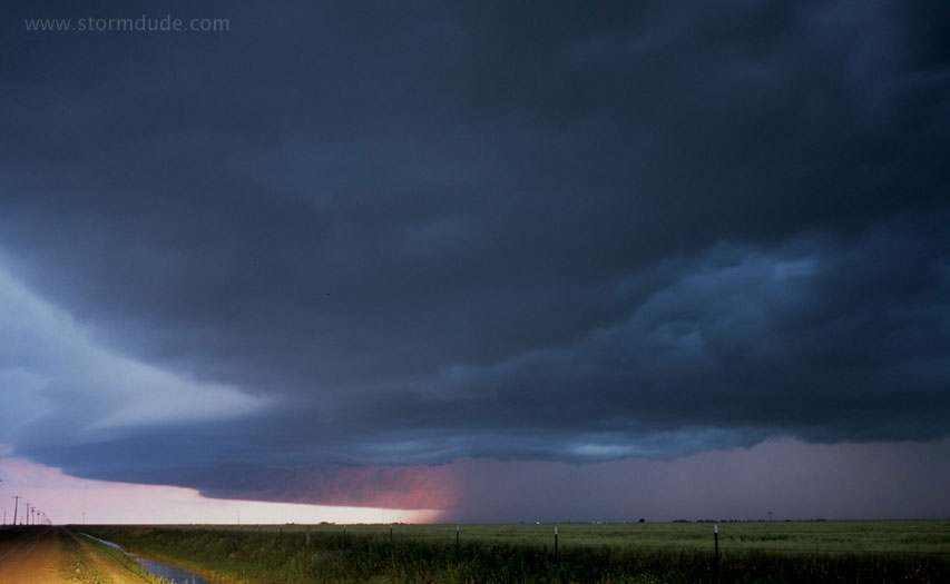
May 31: Oklahoma Panhandle Supercell
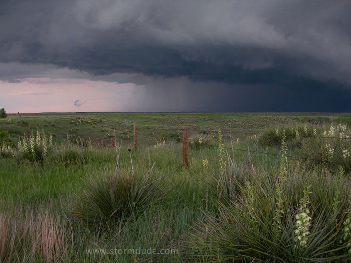
A weak upper low slowly spins out onto the central Plains. This storm develops slowly in far southeastern Colorado and moves into the Oklahoma Panhandle.
A beautiful storm despite marginal conditions (weak mid-level winds and marginal CAPE).
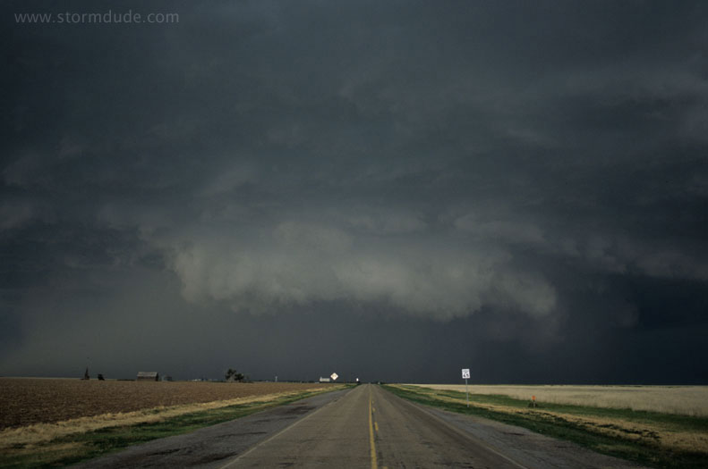
Southeast of Boise City, Oklahoma.
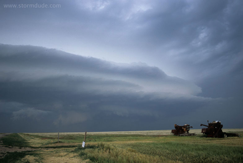
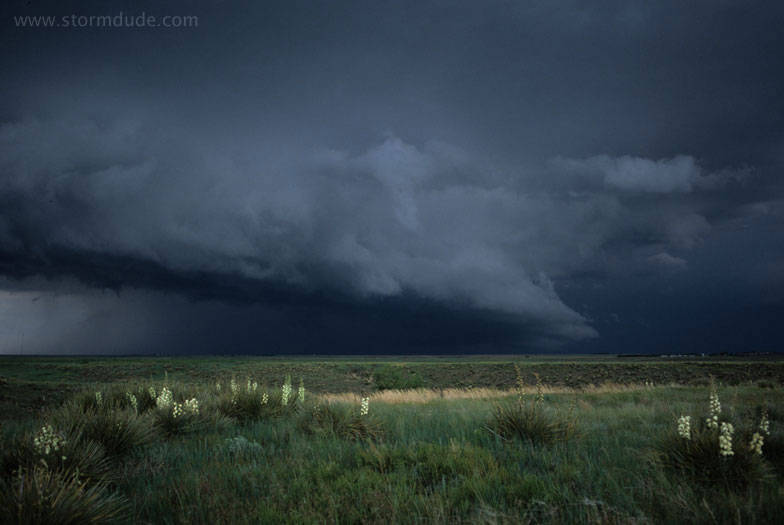
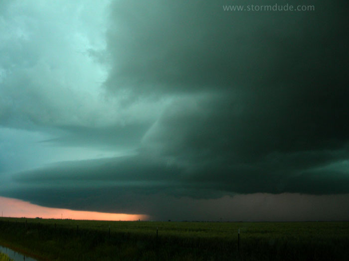
View looking further to the east.
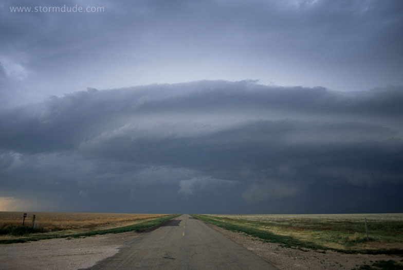
A lonely road in the Oklahoma Panhandle.
June 1: Texas Panhandle and Eastern New Mexico Storms
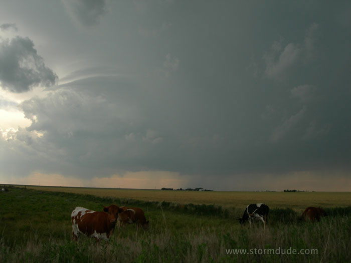
Moisture streams into eastern New Mexico, where I catch up with this storm a little west of Clovis.
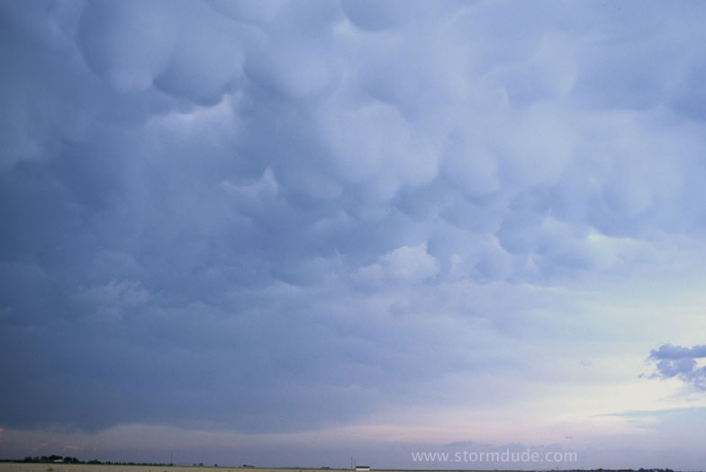
Mammatus form overhead.
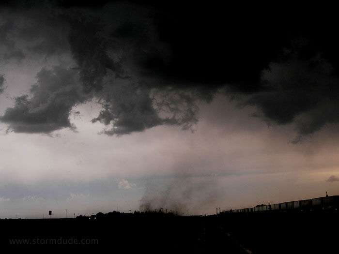
When outflow takes over, it's time to head back to Texas. A gustnado spins across the highway.
Around 8 pm I find this storm southwest of Amarillo.
The storm at sunset.
Lightning illuminates the storm.