May 4th: Northern Kansas Storms
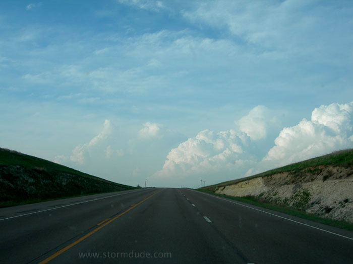
After waiting in central Kansas ahead of a powerful storm system, I finally see strong convection north of Hays in the evening.
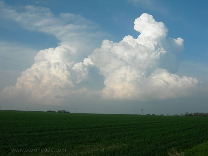
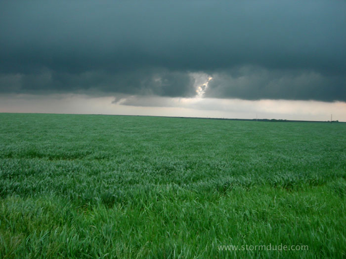
Growing cumulus towers above a Kansas wheat field.
Late start will mean only marginally severe storms before dark, with a greater threat later as the storm system intensifies.
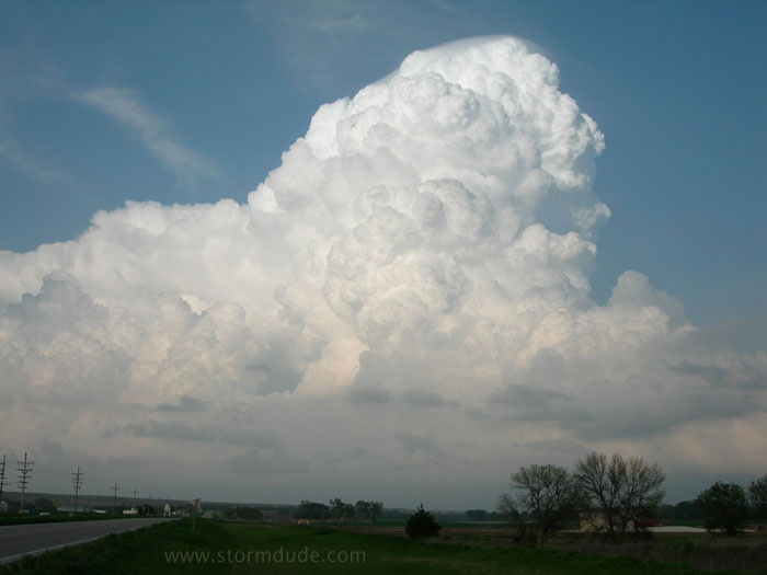
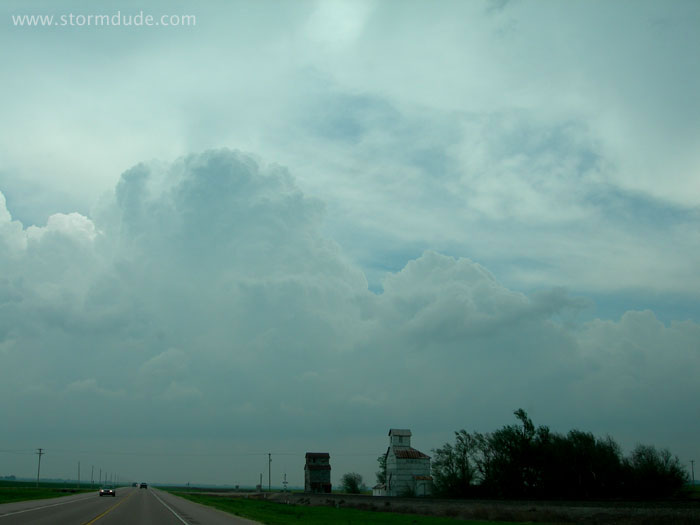
East of Stockton, Kansas. This is one of two high potential targets for storms today; the other was in southern Kansas.
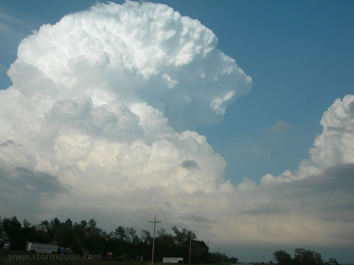
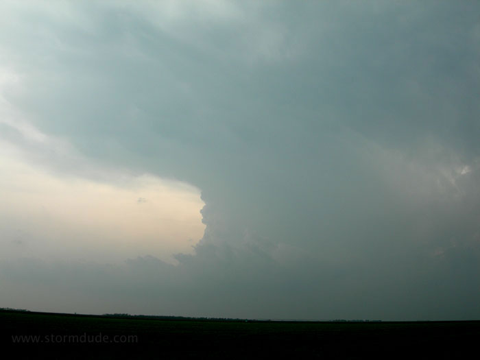
This storm weakens at dusk, but far more powerful storms develop after dark, one of which spawns a devastating long-track tornado in central Kansas. The tornadic storm to my north, in far northern Kansas, produces nearlycontinuous lightning, like a strobe light.
May 5th: Central Kansas Supercell
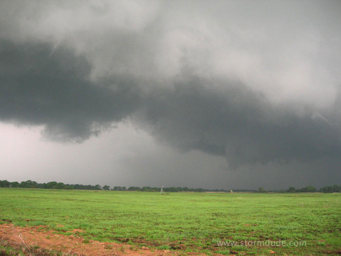
Early afternoon convection on a high potential day, though the mood is somber due to news of last night's destruction, particularly of Greensburg.
Developing supercell southwest of Pratt, Kansas. The storm is moving quickly north-northeast.
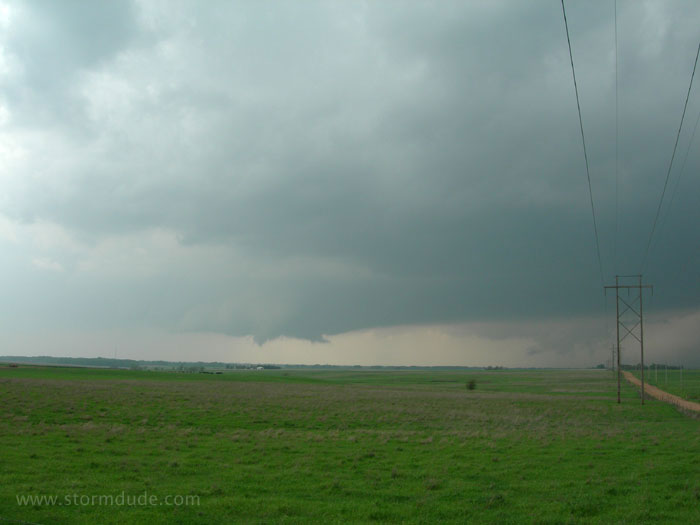
Two wall clouds northwest of Pratt. Fast-moving tornadic supercells, especially when they take on HP (heavy precipitation) characteristics, are not an easy quarry.
Last photo before the storm outraces me.