March 30: North Texas Squall Line
First storm of the season: a weakening squall line in Bridgeport, Texas, an hour northwest of Fort Worth.
April 3: Distant View of Fort Worth Storms
View of distant storms, taken from my campground near Wichita Falls.
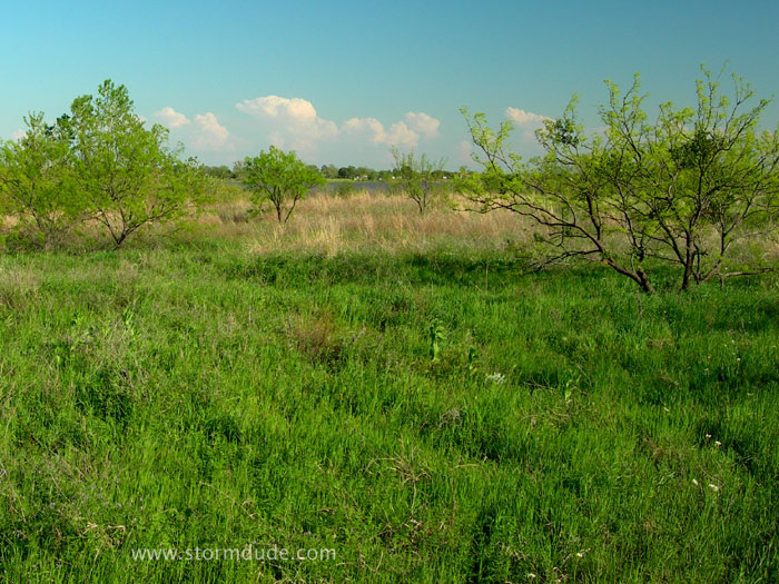
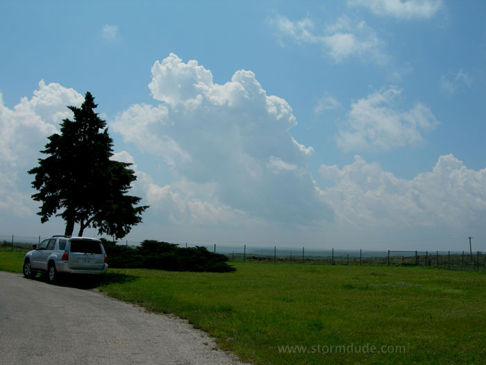
Peaceful road in Lake Arrowhead State Park.
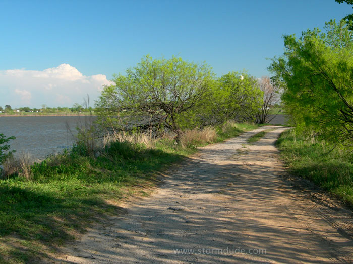
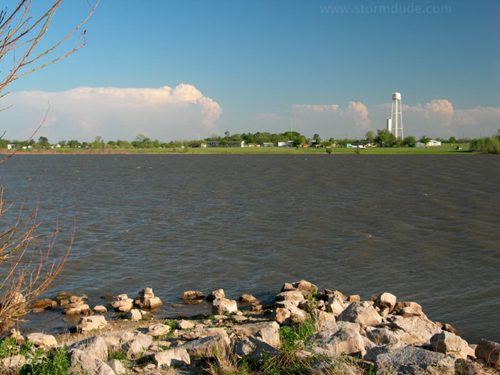
View across the lake. The town of Halsell is on the far shore.
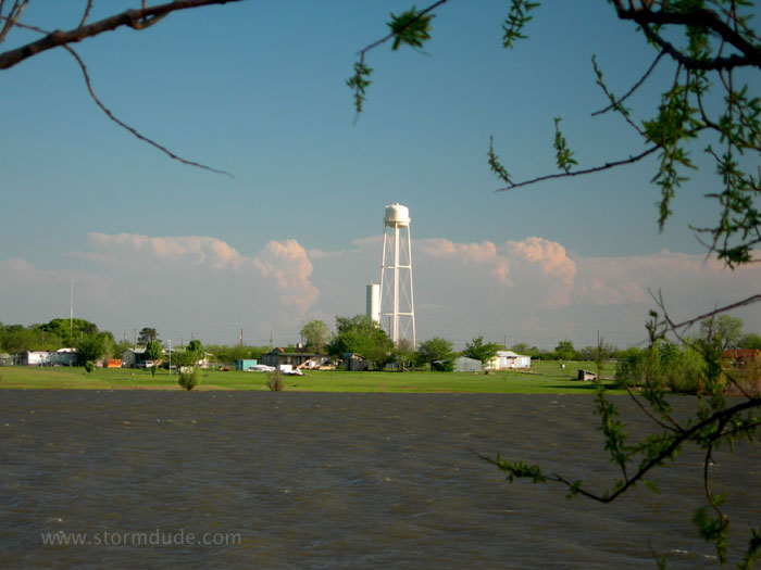
These storms produce hail up to the size of baseballs in Benbrook, just southwest of Fort Worth.
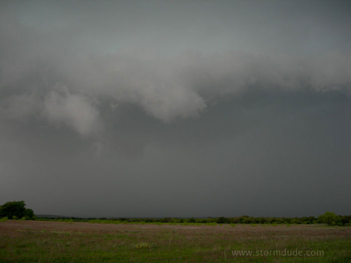
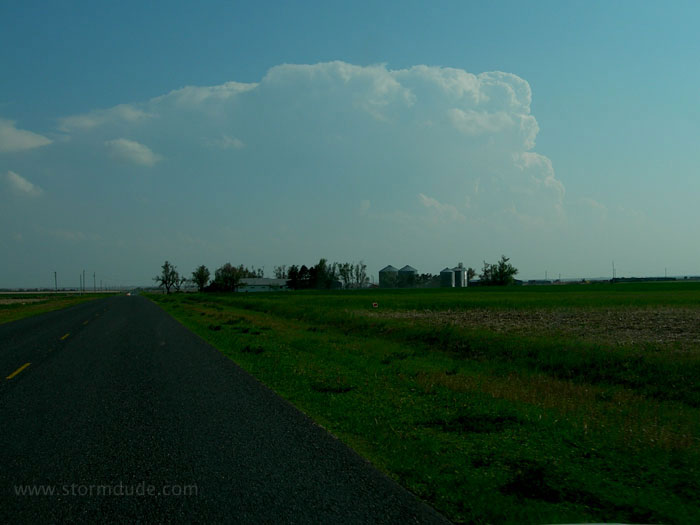
April 13: Central Texas Squall Line
Breezy spring day with temperatures in the high 70s. I'm waiting in Albany, northeast of Abilene, for the right rear quadrant of a mid-level jet streak to hit central Texas.
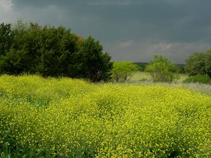
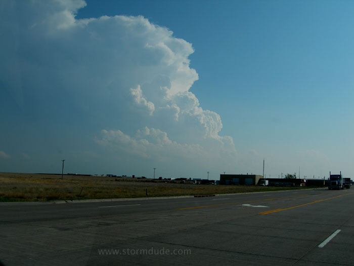
I head east to Breckenridge as a line of storms develops.
Deep convection stretching to the southwest.
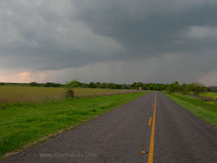
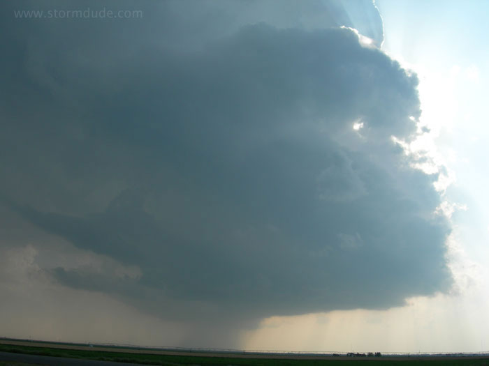
Close-up view of strengthening line of storms. From here I drive southeast on rural roads, hoping to jump on I-20 to race ahead of the fast-moving squall line.
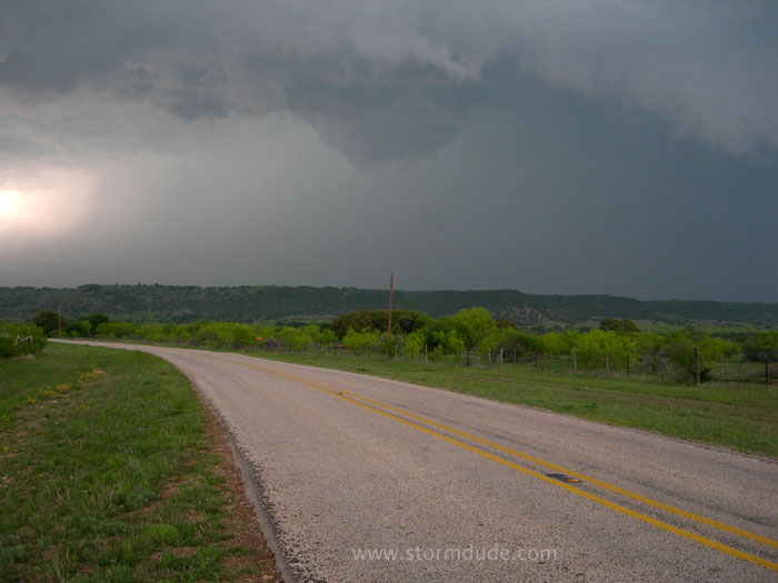
Intense convection is now north of me.
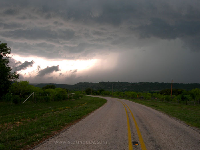
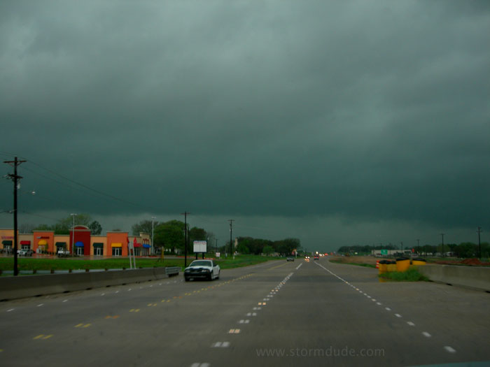
One last photo before getting on I-20. After getting stuck in traffic, I arrive in Fort Worth where air-raid sirens are going off. A tornado hits Haltom City, ten miles to my northeast.
April 21: Texas Panhandle Supercell
Mid-afternoon north of Amarillo as a strong upper low approaches from New Mexico.
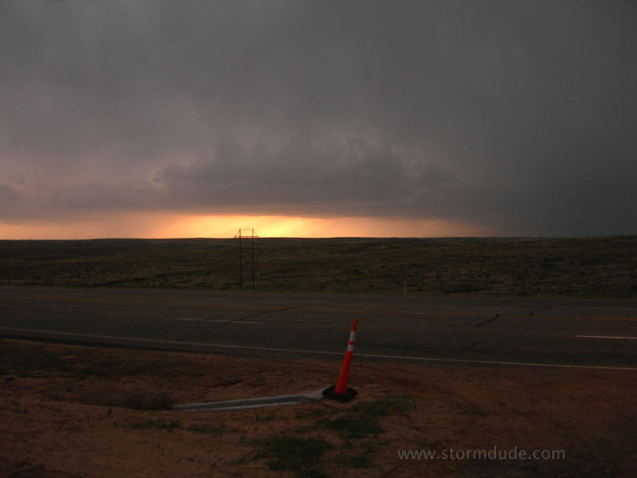
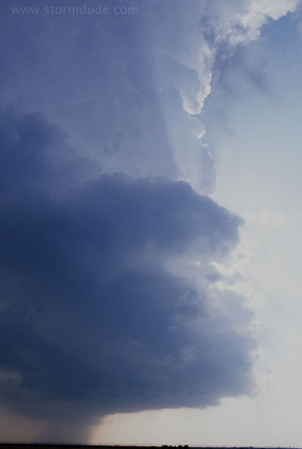
Evening view of an intense supercell. The storm is on the other side of Lake Meredith.
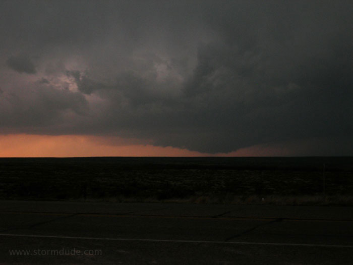
A large wall cloud develops as sunset approaches.
I drive north to stay parallel with the storm, but the highway east of the lake takes me northeast while the storm is moving almost due north.
Better planning would have put me on the other side of the lake. Instead I get only a distant glimpse of a tornado while driving.
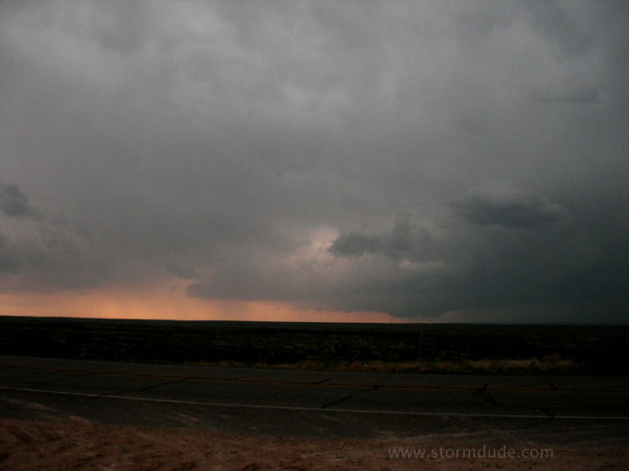
April 23rd: Guymon, Oklahoma Storm
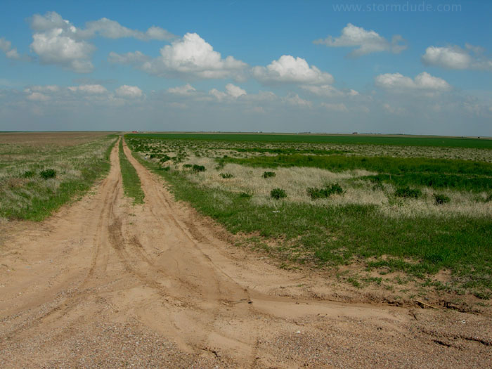
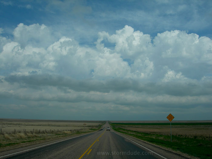
Mild spring day with dryline across the northern Texas Panhandle and Oklahoma Panhandle into far southwest Kansas. Large upper low is still over California, so I'm not expecting much.
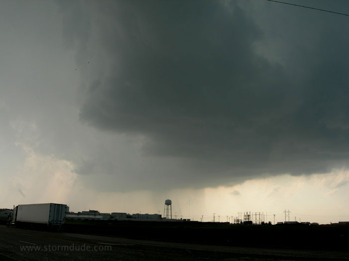
Isolated storm moves north from the Texas Panhandle.
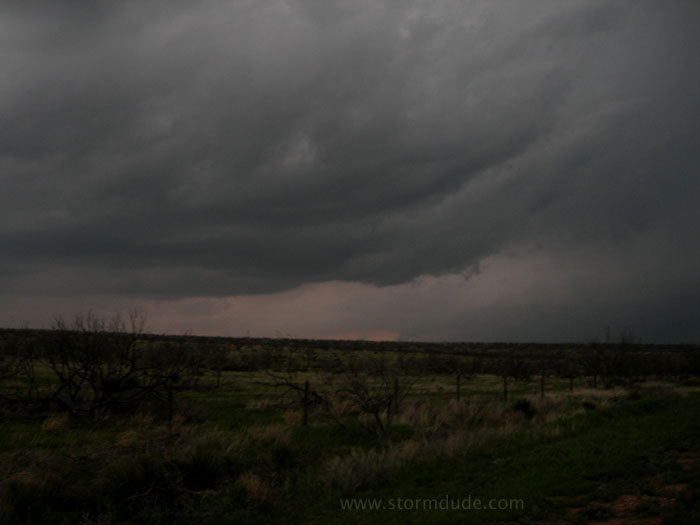
Marginal conditions with low CAPE and very weak convergence along the dryline result in a cotton-edged storm.
Storm approaching Guymon.
Another view.
Interesting storm, but severe weather was two hours east of me, a target I rejected mid-afternoon in favor of the dryline. Nevertheless, a fun chase of a scenic little storm.