May 30th: Eastern New Mexico Supercell
After dropping off my wife at the Denver airport, I intercept this storm southeast of Springer, New Mexico.
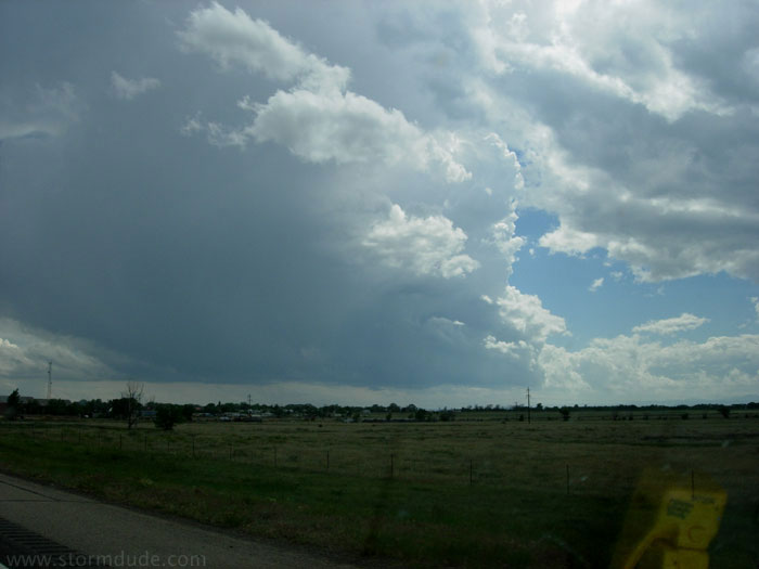
Fairly well-organized storm approaching Mosquero, New Mexico. Unfortunately, I run out of southerly road options and must make a forty minute detour until I am once again ahead of the storm.
View from a lonely highway northwest of Logan.
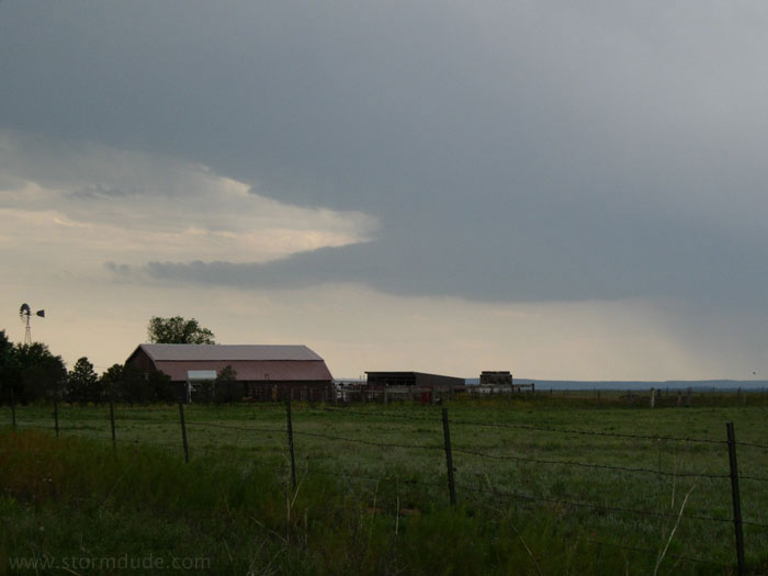
Large wall cloud, but little or no rotation.
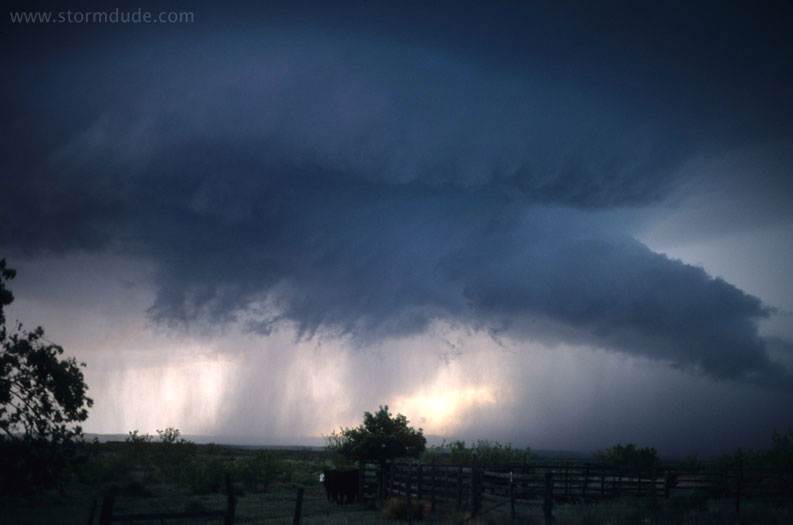
The wall cloud begins to dissipate.
A new larger wall cloud at dusk. Soon outflow takes over and I head to Texas.
May 31st: West Texas Supercell
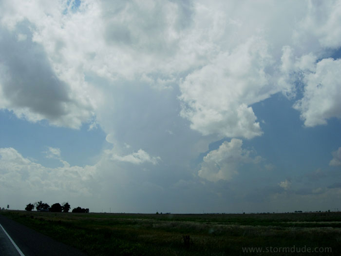
With early afternoon MCS from Herford to Amarillo, I target dryline in the western Texas Panhandle. This storm develops just east of Clovis.
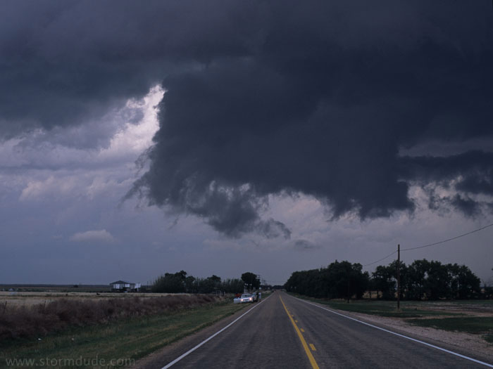
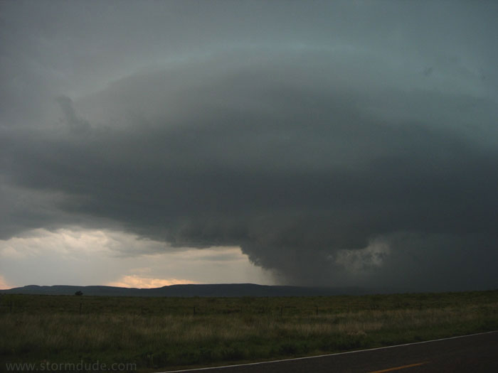
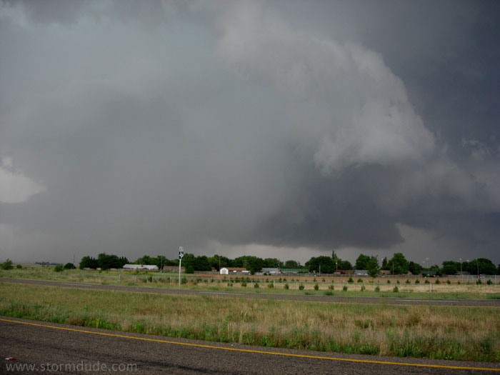
Ragged but harmless wall cloud just north of Sudan. Nevertheless, tornado sirens go off in the nearby town.
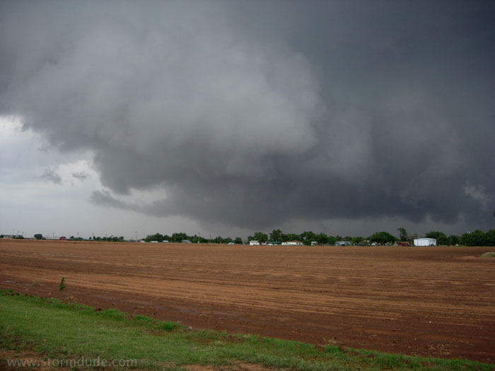
A few minutes later, the storm develops good structure near Amherst.
Between Amherst and Littlefield.
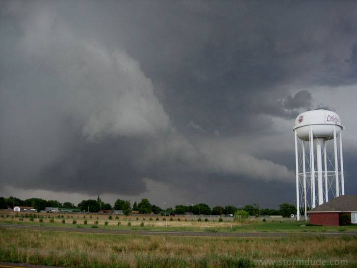
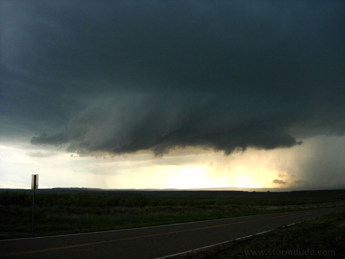
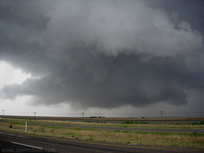
Wall cloud north of Littlefield. Because this is the only decent storm at a peak time of year, the large number of chasers results in traffic congestion and difficult driving conditions.
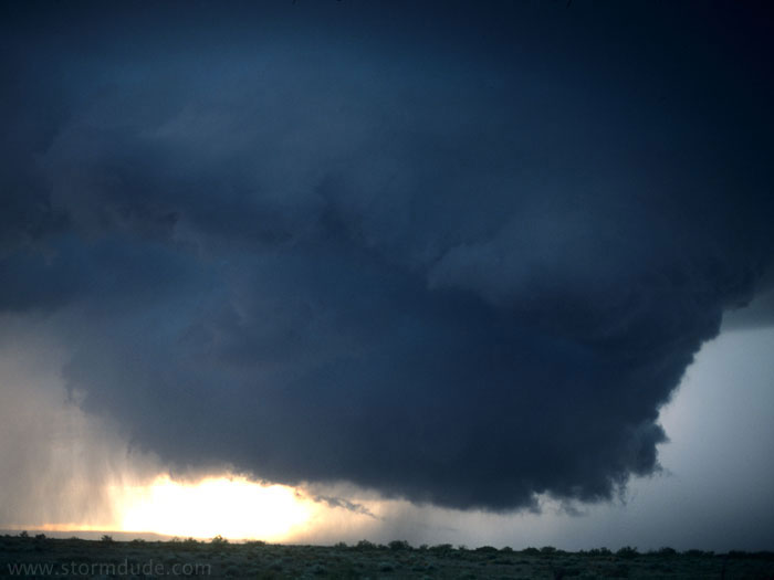
Strong RFD develops wraps around wall cloud as storm becomes outflow-dominated.
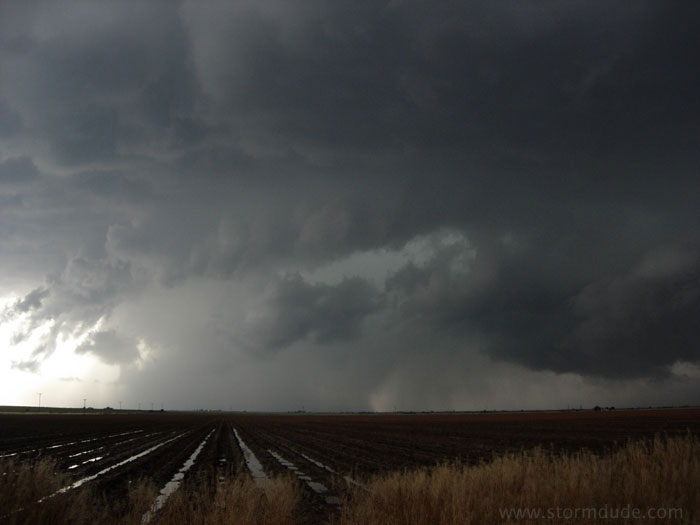
I drive south to stay ahead of the storm, but the paved country road is covered by an unknown depth of water, so I turn back towards the approaching storm. All the east-west roads are very muddy from overnight rains, so I begin looking for a large tree or farm outbuilding to use as shelter from large hail. (This view is looking west; the view north is a dark wall of clouds.)
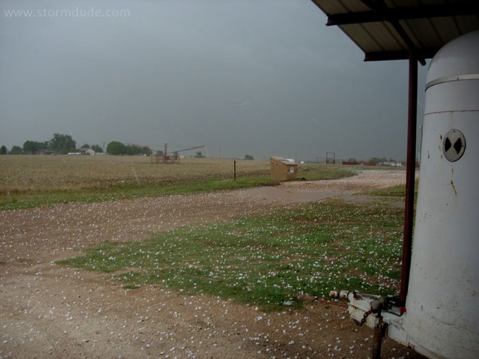
Just as the first hailstones hit my car, I find this convenient carport in a farmstead just off the highway. This is a good lesson not to rely on small paved roads after heavy overnight rains (I'm glad I learned this lesson with a hailstorm and not a large tornado bearing down on me). It also is a foreshadowing of a potential chaser disaster if a closed road ever places a group of aggressive (or inexperienced) chasers on a dead-end road with a half-mile wide tornado approaching.