June 10th: Supercell and tornado near Big Springs, Nebraska
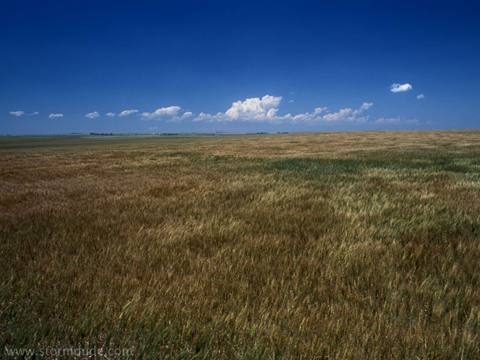
Early in the afternoon, dryline becomes active northwest of Wray, Colorado.
Beginning of strong convection.
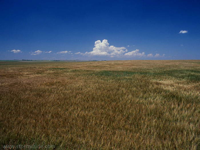
A closer look.
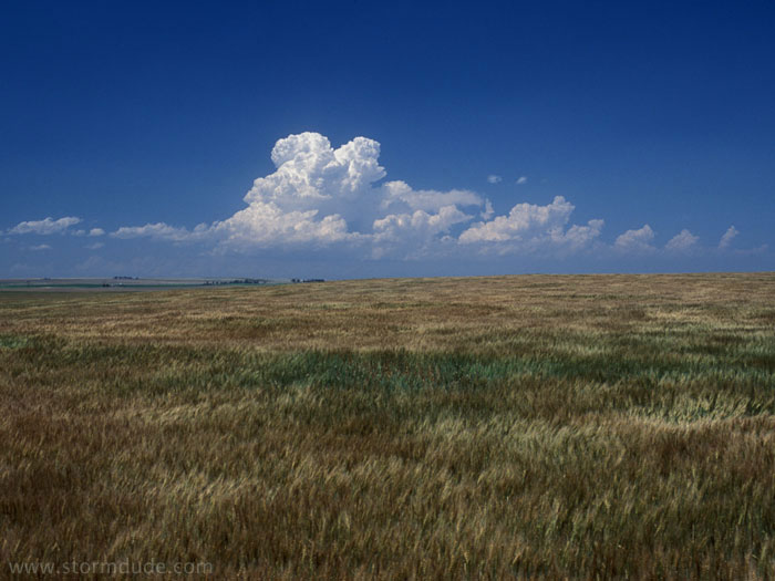
Storm develops quickly as it moves north-northeast.
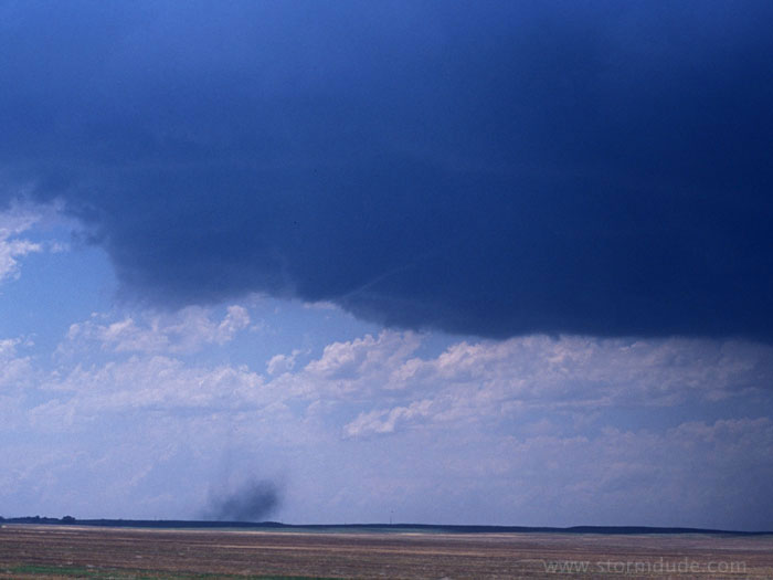
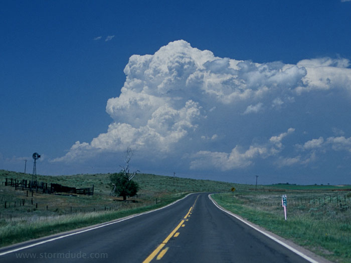
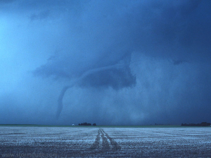
Ten-minute construction delay nearly causes me to lose the storm, but I catch up in time for this sight just east of Julesburg, Colorado.
A couple of minutes later.
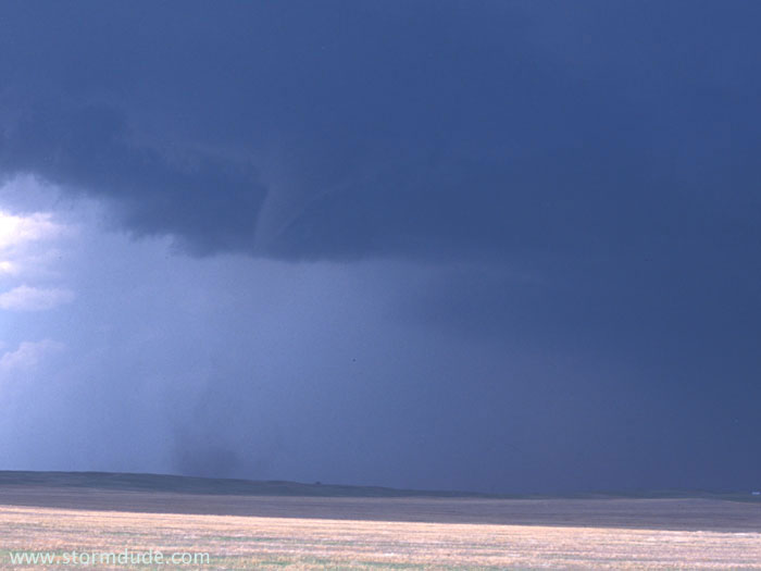
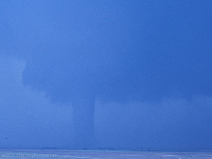
A few minutes later, I intercepted this tornado as it forms northwest of Big Spring, Nebraska.
Close-up view.

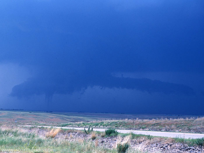
A minute later.
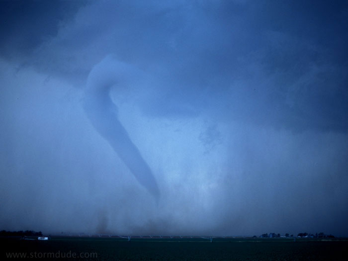
The tornado widens into the strongest I've seen to date.
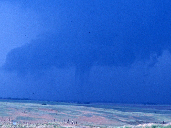
I drive north a few hundred yards to get this eerie shot of a dissipating tornado.
My final tornado of a relatively active year, although I develop an even greater appreciation of the difficulty of successful storm chasing (especially after missing another big tornado opportunity only two days later).