May 21st: Nebraska Tornado
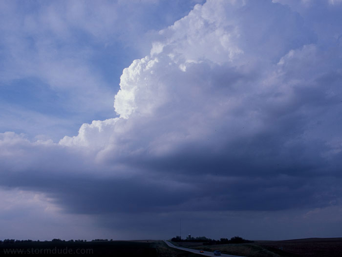
First storm to develop today in northeast Nebraska. However, it weakens as it moved northeast.
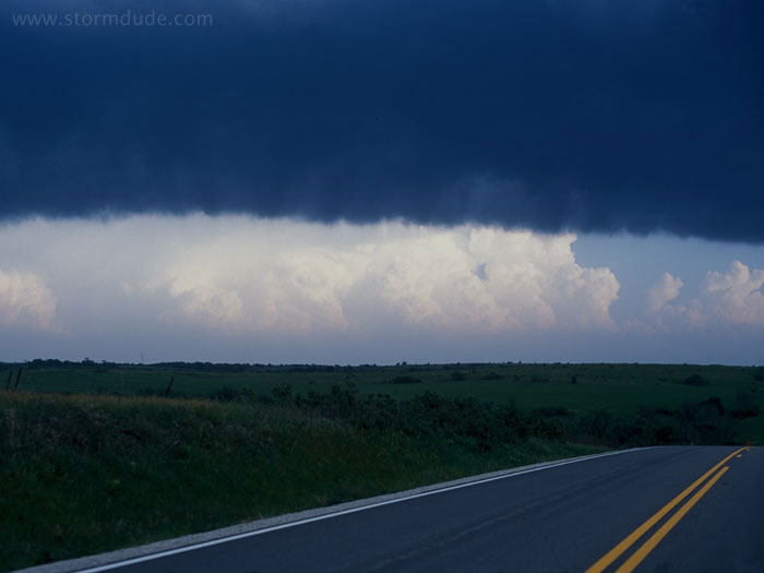
New storm develops to the southwest, along the dryline.
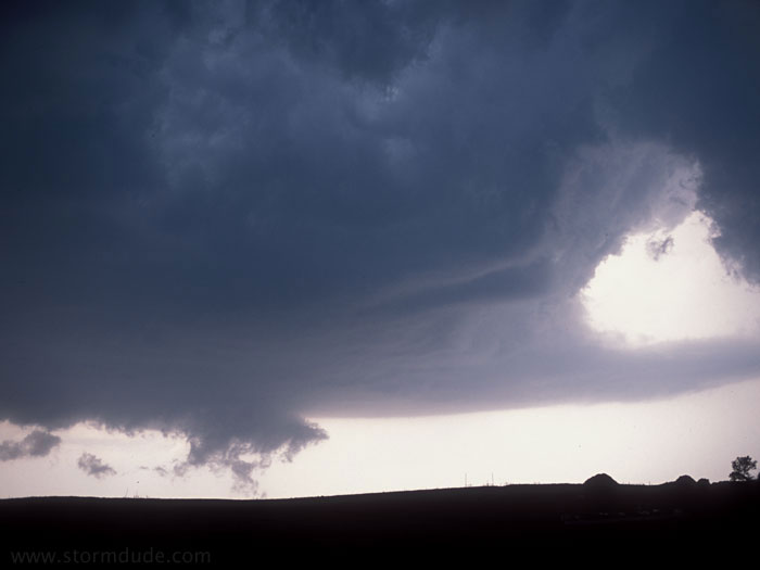
Wall cloud forms, but deep convection building to the southwest prevents rotation.
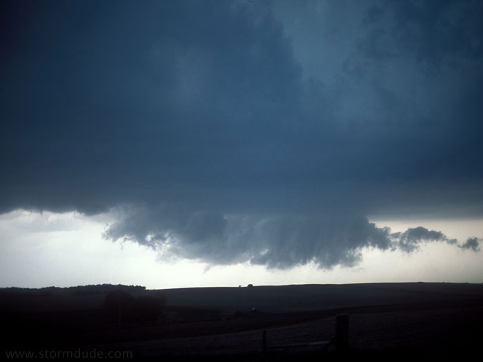
At the southern end of the line of storms, a funnel cloud forms. Gust front from the forward flank downdraft passes me just before this funnel appears.
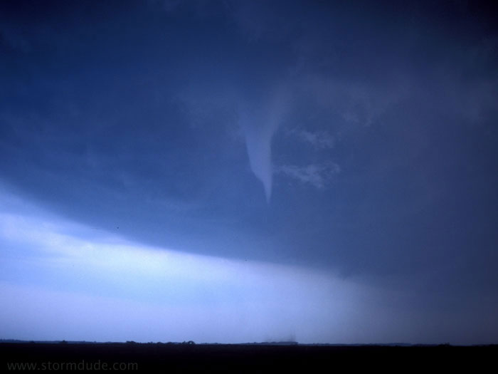
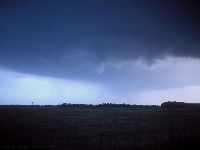
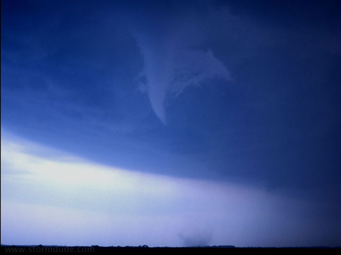
Tornado touches down near Hadar, Nebraska (just northwest of Norfolk). Note dust whirls on the ground underneath the funnel, which shows the vortex extends fully from cloud base to the ground.
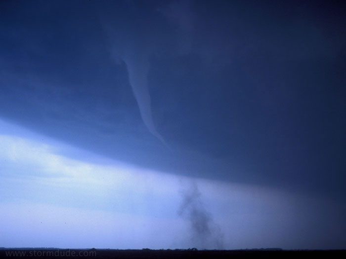
A rewarding chase with a great-looking tornado over open farmland.
A minute or two later.
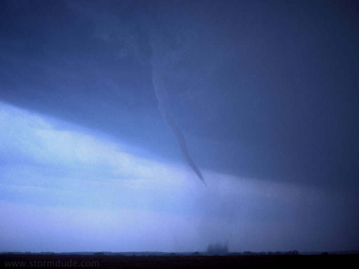
I take this just before the rain overtakes me from the north. As I drive south, the tornado dissipates before I can get another photo (although I get a look at a spectacular clear vortex in a cloud of dust stirred up by the tornado).
May 24th: Northeast Kansas Thunderstorm
After losing a promising supercell in the poor road system of northwest Missouri, I come across this interesting scene northwest of Topeka. This is the second time in three days I have missed seeing my first major tornado as a result of a couple of bad decisions.
May 25th: Southern Kansas Thunderstorm
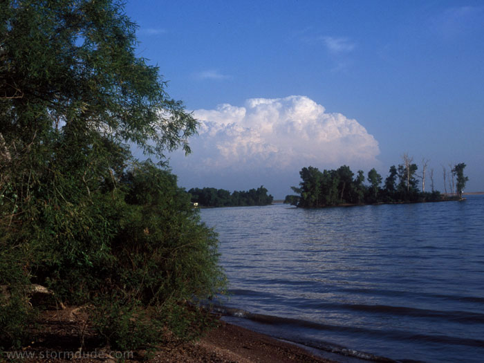
Even on a rest day I see this distant storm in southern Kansas. That's the magic of the Plains in the spring.