May 27th: Northwest Oklahoma Storm

After a few days at home, I reach Guymon, Oklahoma, in time to see a dust storm caused by a derecho coming southeast out of Kansas. Fifty miles east of me, winds exceed 80 mph. Earlier that afternoon, wind speeds of over 100 mph were recorded in Kansas. When the derecho reached Oklahoma City, winds over 90 mph were reported.
May 29th: West Texas Supercell
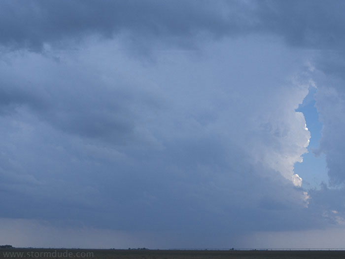
Birth of a supercell near Edmonson, Texas (northwest of Lubbock).
Same storm. Initial stage of wall cloud deveopment near Claytonville, Texas.
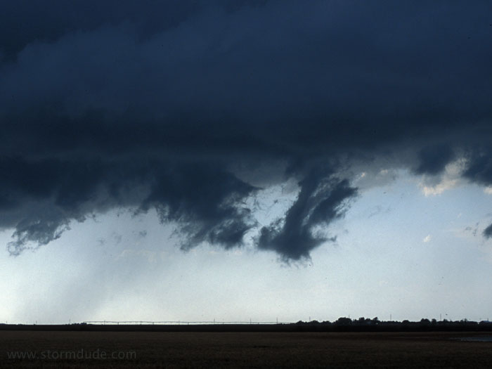
A few minutes later.
Soon after that, a dusty spin-up.
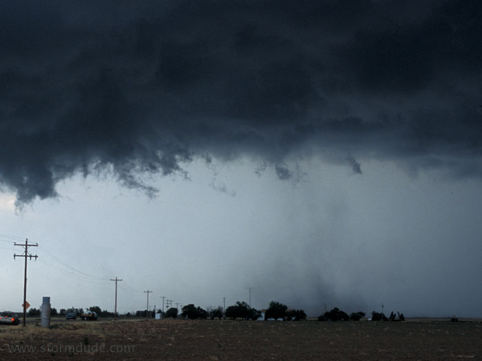
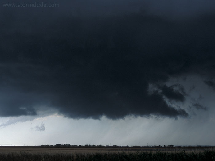
The spin-up expands, but a condensation funnel never forms.
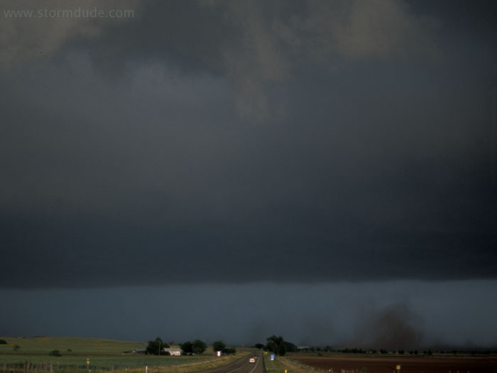
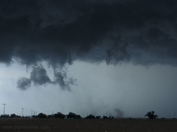
Strong winds at rear of supercell stir up dirt from freshly plowed field near Quitaque, Texas.
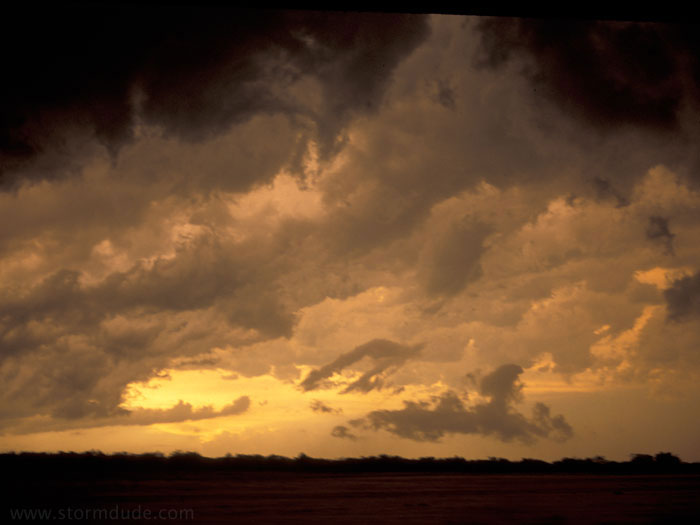
Fringe benefit of storm chasing: dramatic skies behind the supercell.
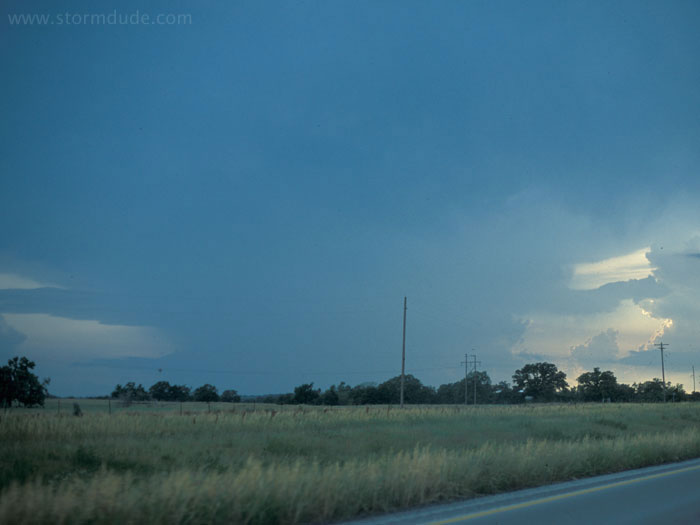
May 30th: North Texas Storm
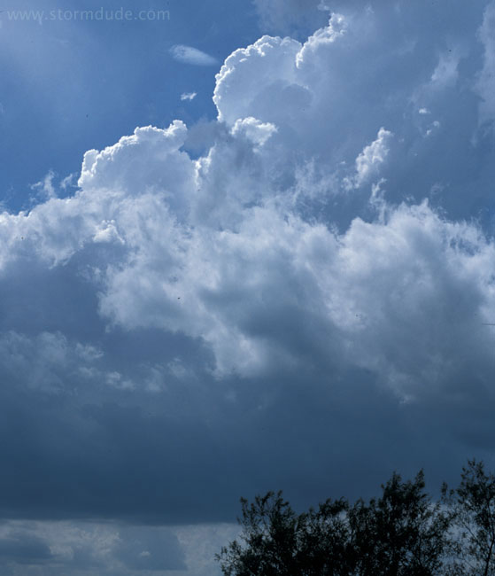
A hot, humid day watching rapidly building towers just west of Ardmore, Oklahoma, in the middle of a tornado watch. Perfect, except everything soon fizzles out.
Supercell near Henrietta, Texas. Nearby Wichita Falls had been my original target, but southwest winds caused me to head northeast to better convergence.
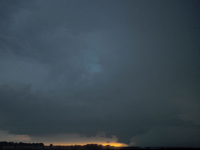
Same storm at sunset south of Wichita Falls.